We’ve all had the experience of revisiting some place that meant something to us when we were young, only to find it ruined by the passing years — the blight in tract homes where there had been woods we played in; the proliferation of 7-Elevens or Starbucks; the widening of roads we had ridden our bikes down and the concomitant soot-spewing storm of traffic. The divided-highway bypass and the Walmart near the exit. Time has not been good to the landscape we knew.
But I have always thought, there must be someone of a generation previous who looked at the landscape I bicycled down and thought, how much better it had been when the road was gravel and there were no houses — including the one I grew up in — lining that road.
The fact is, time is furious and eats up the land just as it eats up the remaining years of my life. “Panta Horein” said the Greek philosopher Heraclitus: “Everything changes.” Doubtless, there was someone before my elder who loved the same land when there was nothing but a footpath through the forest and thought it better for all that.
And no doubt there will be some future progeny who will look at the scene some 50 years hence and lament the loss of those same 7-Elevens, replaced by something even crasser and more demoralizing. To them, the land I now lament will have been Eden.
Holbrook, Arizona
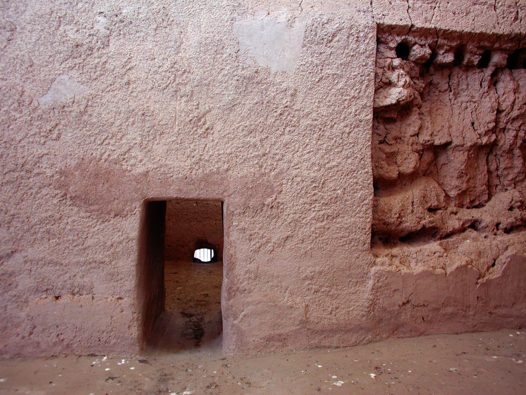
Too often we think of the land as something permanent through which plays the impermanence of our comings and goings — a static stage set for our dramas. Its pace may be slower than ours, but the land changes, also; it has its own drama. I particularly love to see the scars of those changes, the evidence of what used to be, the peeping out from under the macadam of the buried eyes of the past.
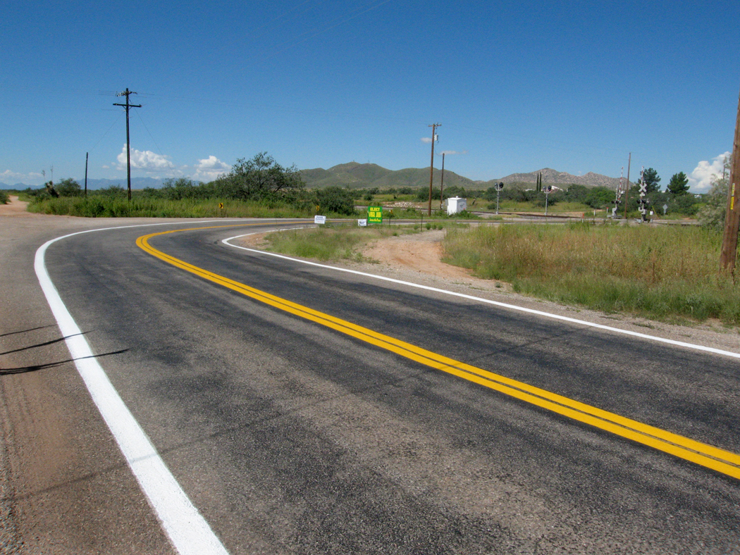
One of the prizes I have is a Rand-McNally road atlas from the year I was born (1948). The map of Arizona has no interstates on it, and you can see that the very getting from Phoenix to Flagstaff was a detour, driving first through Wickenburg and up to Prescott before either heading north to Ash Fork and then east on U.S. 66 to Flag, or taking the more mountainous route up Alternate 89 over Mingus Mountain, down to the Verde Valley and then up the hill through Sedona and up the face of the Mogollon Rim to your destination.

Of course, there was a more direct route, through Dugas and Camp Verde, but the road was mostly dirt and rutted.
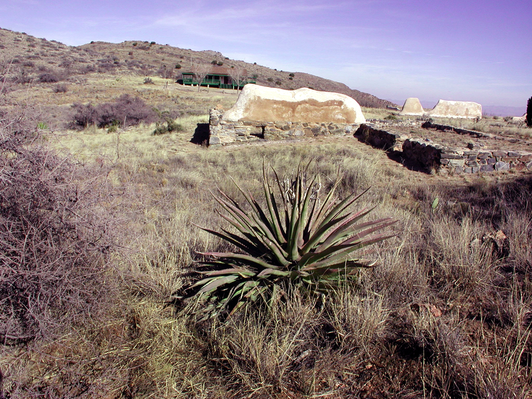
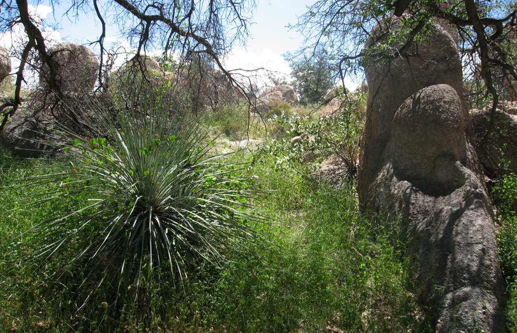
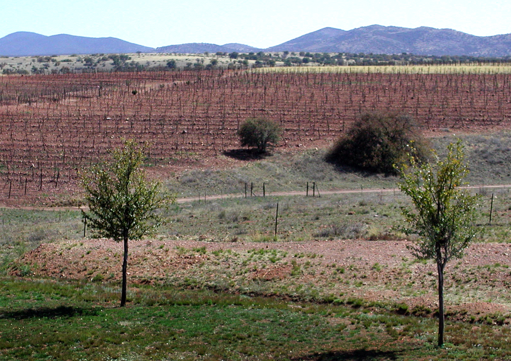
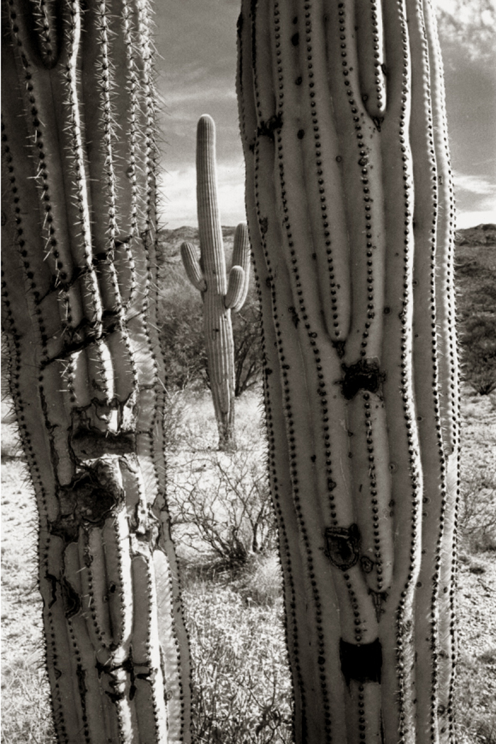
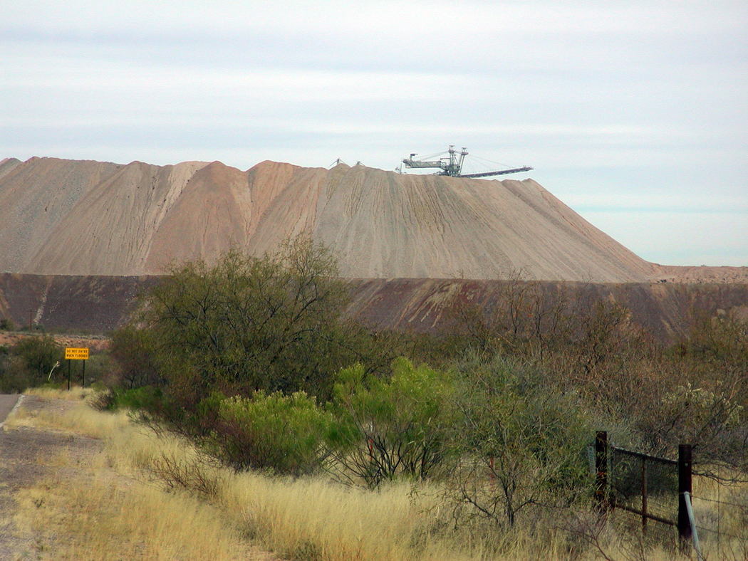
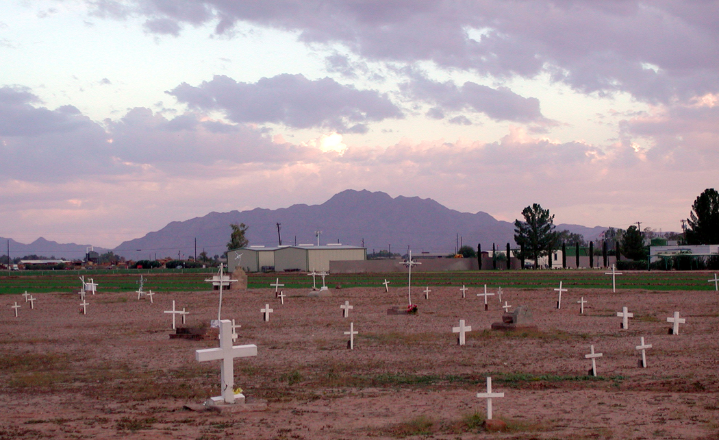
The thing is, that if you look for them, all those ruts are still there. You can, if you wish, and if your car is sturdy enough, drive those roads up through Bumble Bee, through Orme, through Skull Valley, Iron Springs or Happy Jack. Like Schliemann digging down through layers of Troy, the archeology of Arizona is there — or its fossils are.
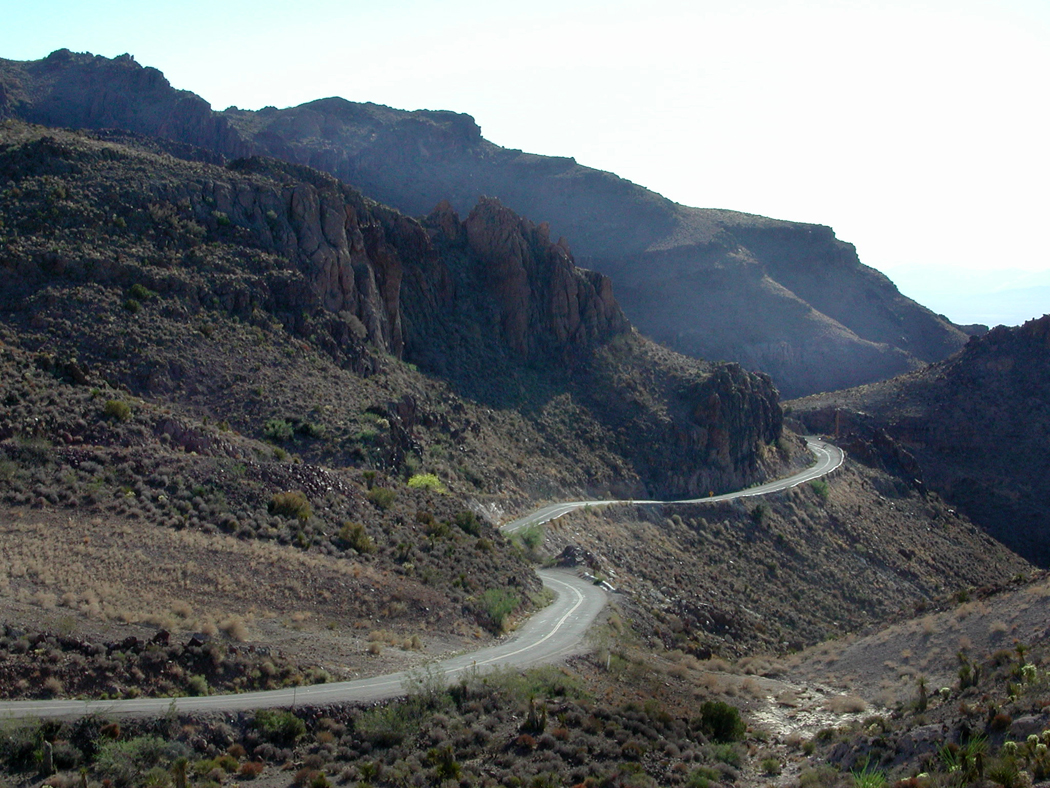
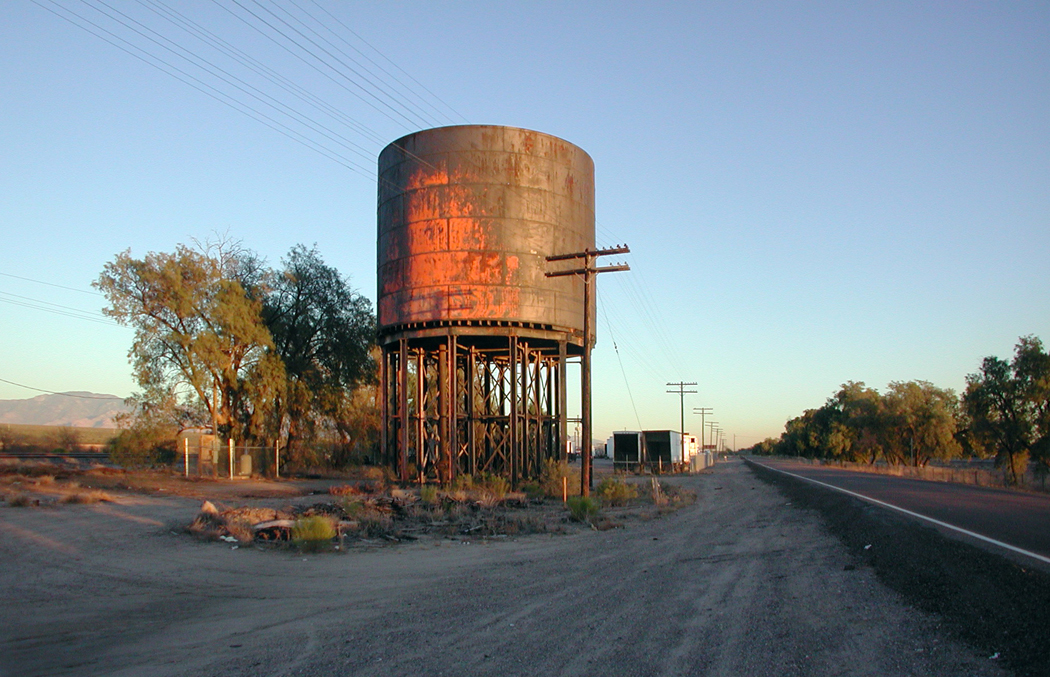
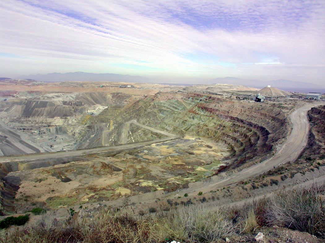
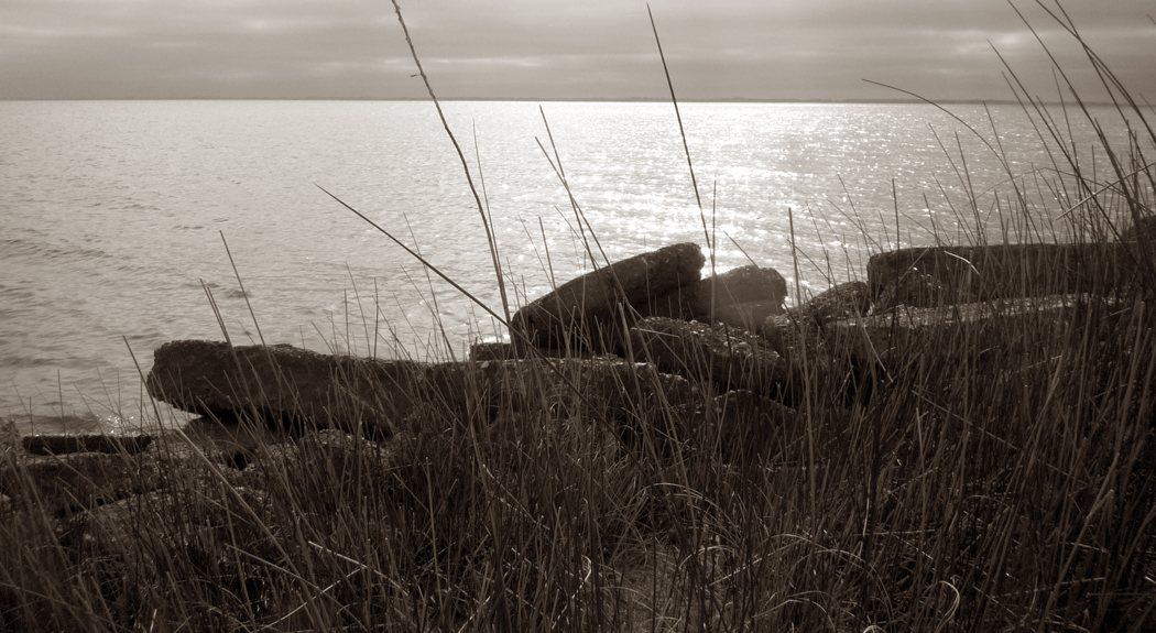
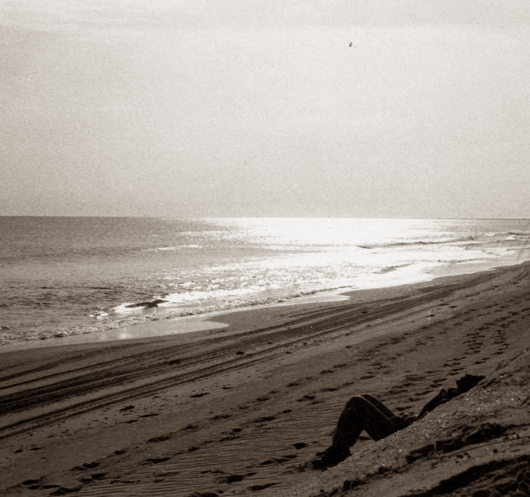
West of Kingman
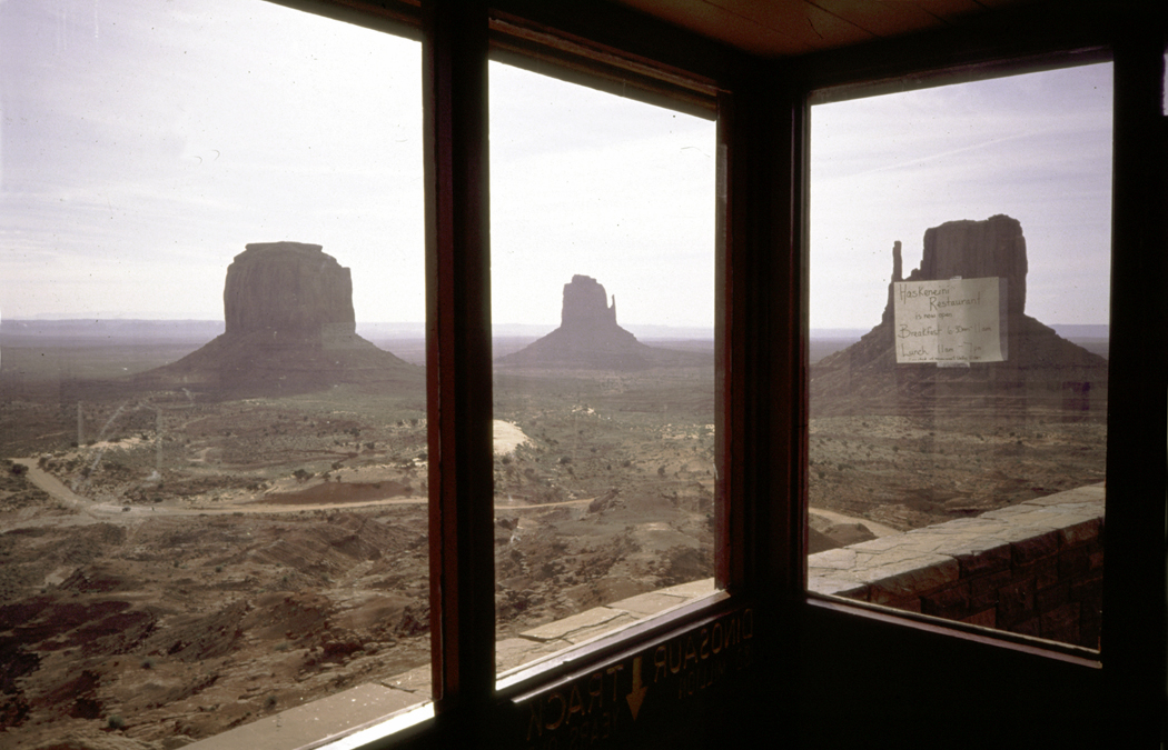
All of which brings me to the slice of Arizona across its northern tier, now defined by Interstate 40. The interstate ate up what used to be U.S. 66 — Route 66 of legend — and takes the speediferous driver across the flatter parts of the Colorado Plateau, up through Flagstaff, and down through Williams, Kingman and on to California. “You’ll see Amarillo, Gallup, New Mexico, Flagstaff, Arizona. Don’t forget Winona, Kingman, Barstow, San Bernardino…”
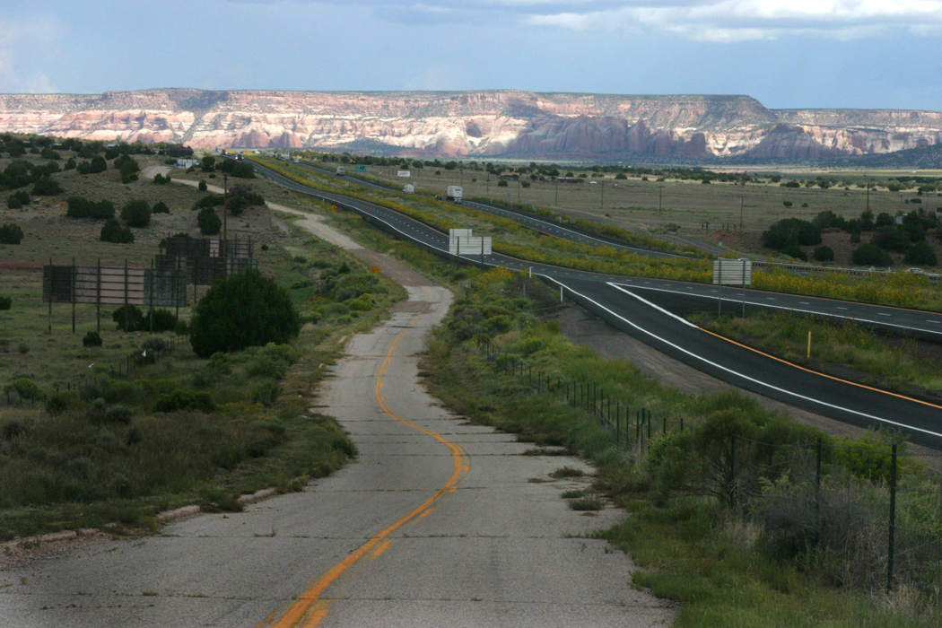
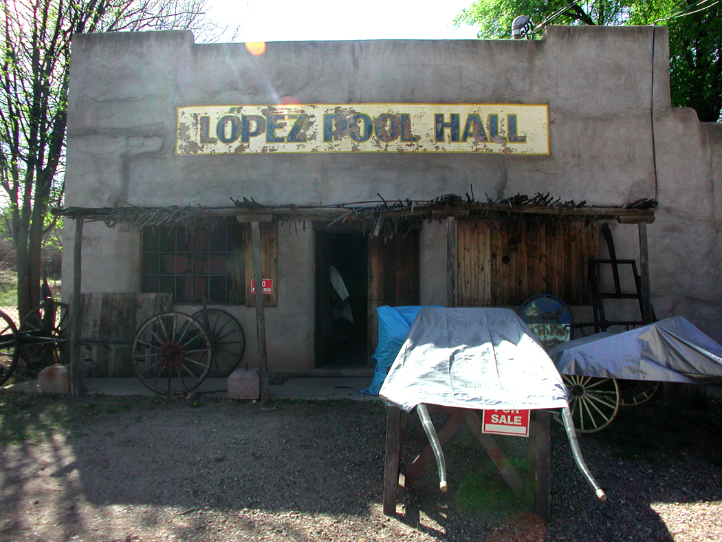
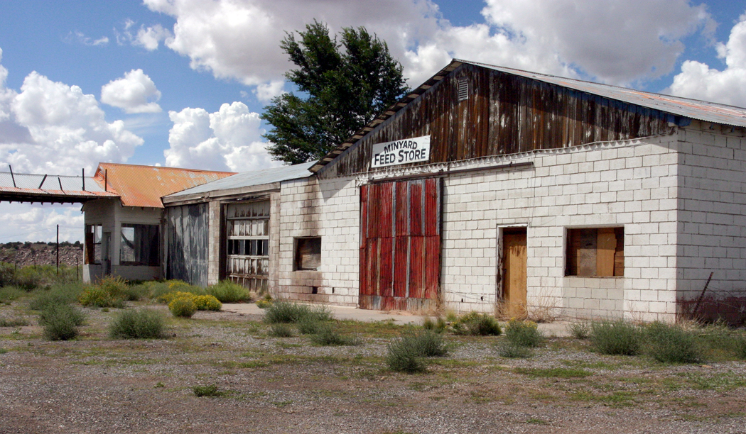
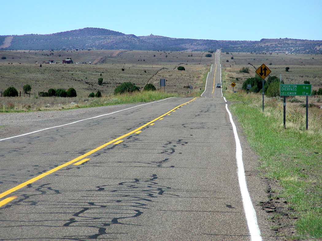
But, if you get off the interstate, right at the state line in Lupton, you can find the ghost road, mostly paralleling the freeway, and you can drive along it, at a steady 45 mph, watching for potholes, and see the scars of the past dug into the dry stony soil. The road is discontinuous — you will have to get back on the interstate for an exit or so, or ride over the tide of traffic to pick up the auxiliary road on the other side, where old 66 will start again. It is a ghost of itself, and along it are a few forgotten towns, many gutted old service stations with their paint peeled, their windows blown out and their driveways split by weeds busting through.
Time is fierce, it eats everything.
I admit to a weakness for these pentimenti, for the palimpsest of time, showing through the later “improvements.” They provide a glimpse of the process, of the metamorphosis — using Ovid’s word — of the constant writhing and seething of the planet and our place as people in the ferment and bubbling.

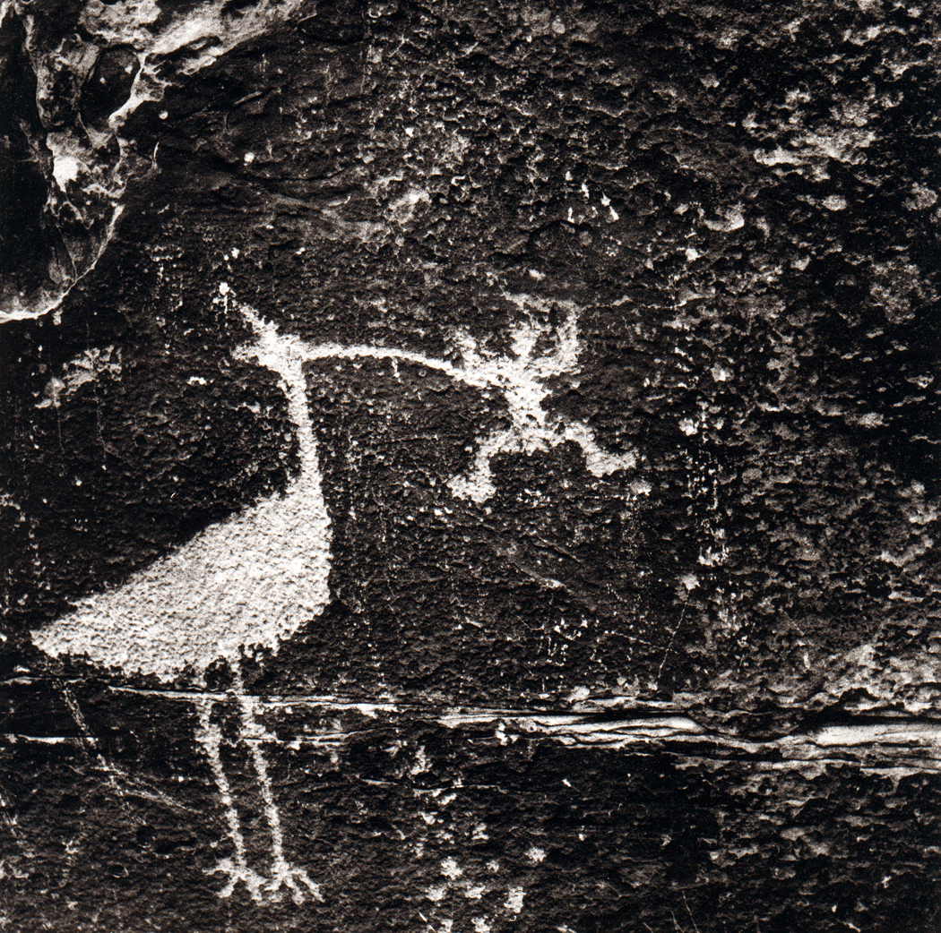
It comes in the shorter term, such as old Route 66 being devoured by grasses and crucifers, but it also comes in longer terms, such as the Anasazi ruins of Canyon de Chelly and Betatakin, the petroglyphs of Rio Puerco in the Petrified Forest National Park.
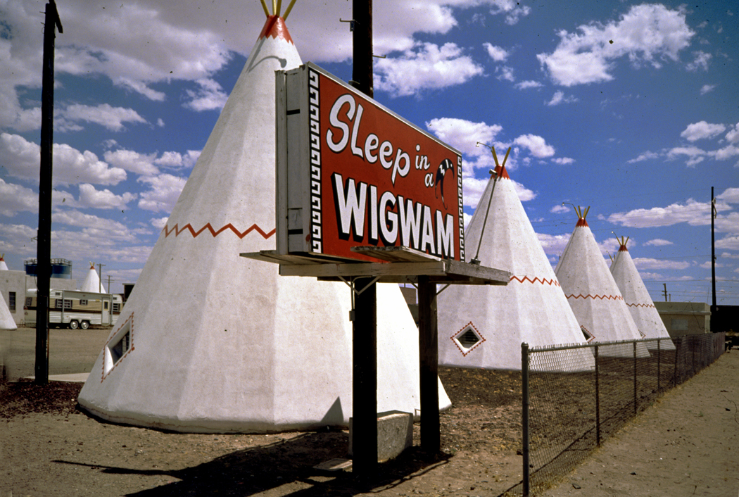
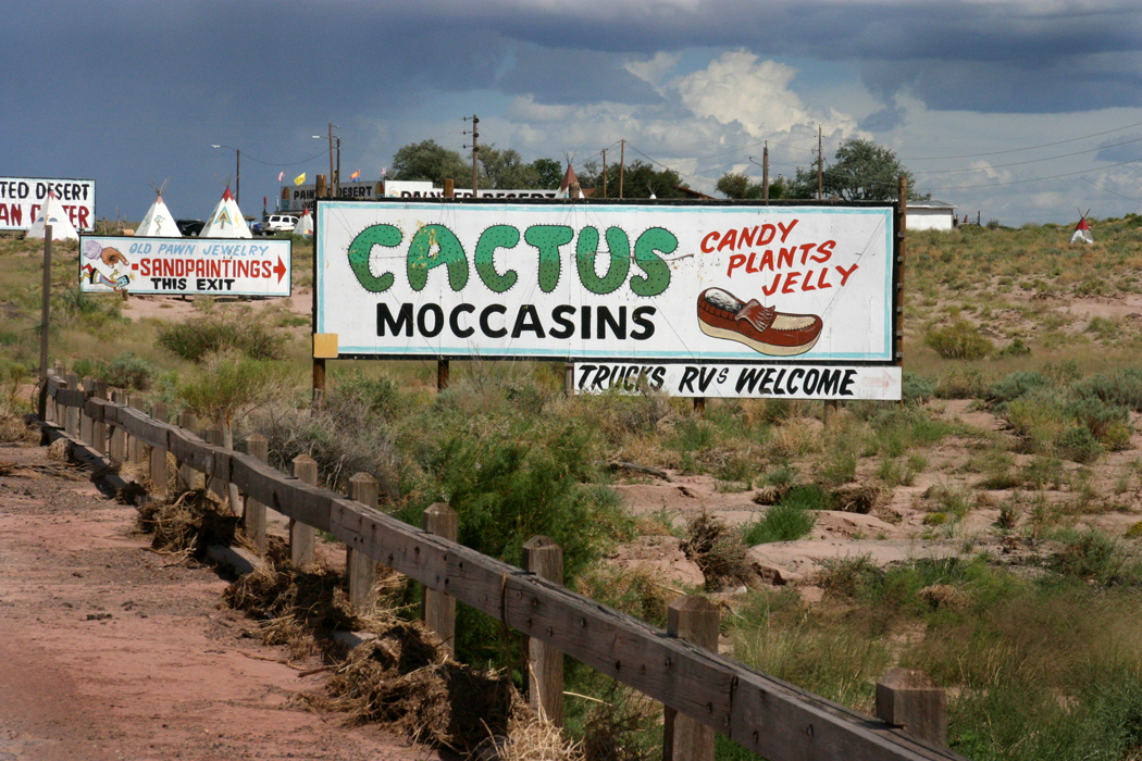
There are remaining parts of old Route 66, running through Seligman, and it is mined constantly for nostalgia. But it isn’t that I am feeding on, but the sense of sand sifting through my fingers, of time leaving. It comes out of some chthonic well and runs past us and dissipating in an ocean of we know not where. The old road is still there, and it will be there even when there are no cars — just as the wagon ruts can still be found along the Santa Fe Trail, sunk into the grasses of Kansas.
I relish all the different tickings and tockings of the various clocks running their various races.
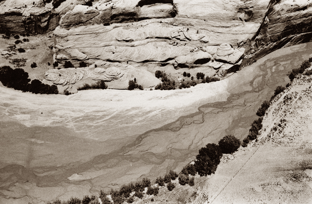
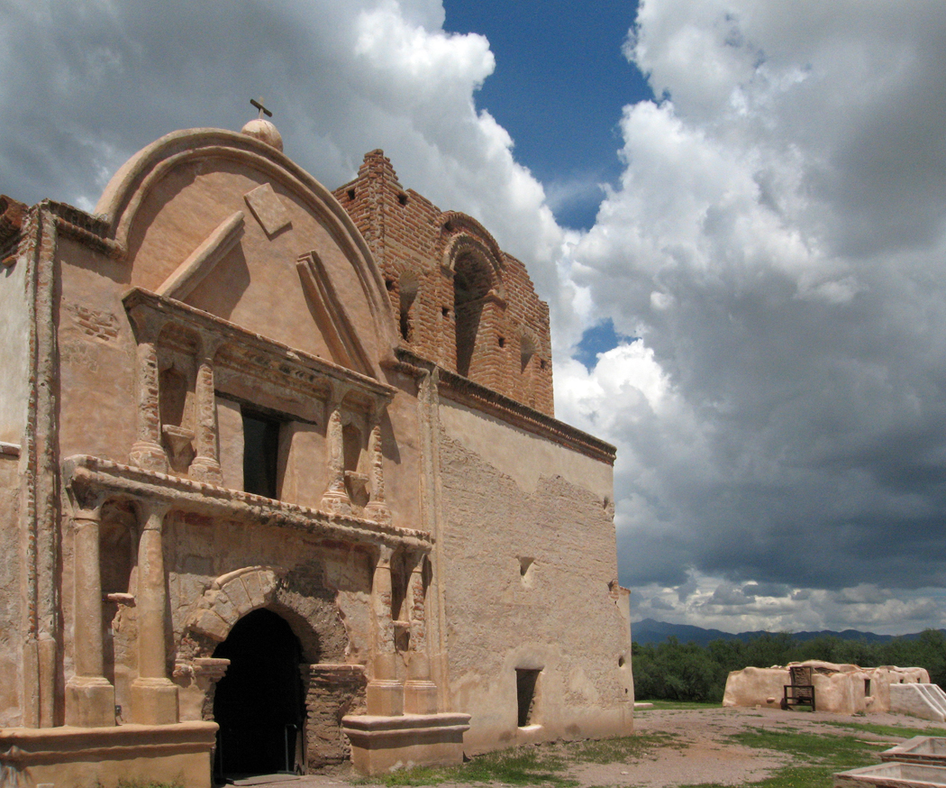
Sliding Rock Ruins, Canyon de Chelly
You stand at the rim of Canyon de Chelly on the Navajo Reservation and look down to the braided stream at the bottom that scoured this great hole out of the sandstone and wonder how long it must have taken. Then you see the tiny Anasazi relics built into the walls of the rock and realize how long people have been living here, and then you see the sandstone itself an think about how much longer ago — exponentially longer — that ancient river deltas deposited the silt that later became that stone.
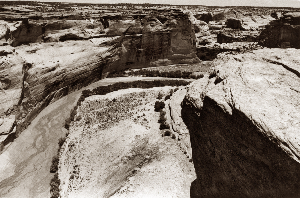
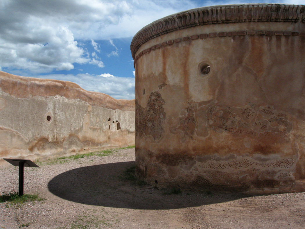
White House Ruins, Canyon de Chelly
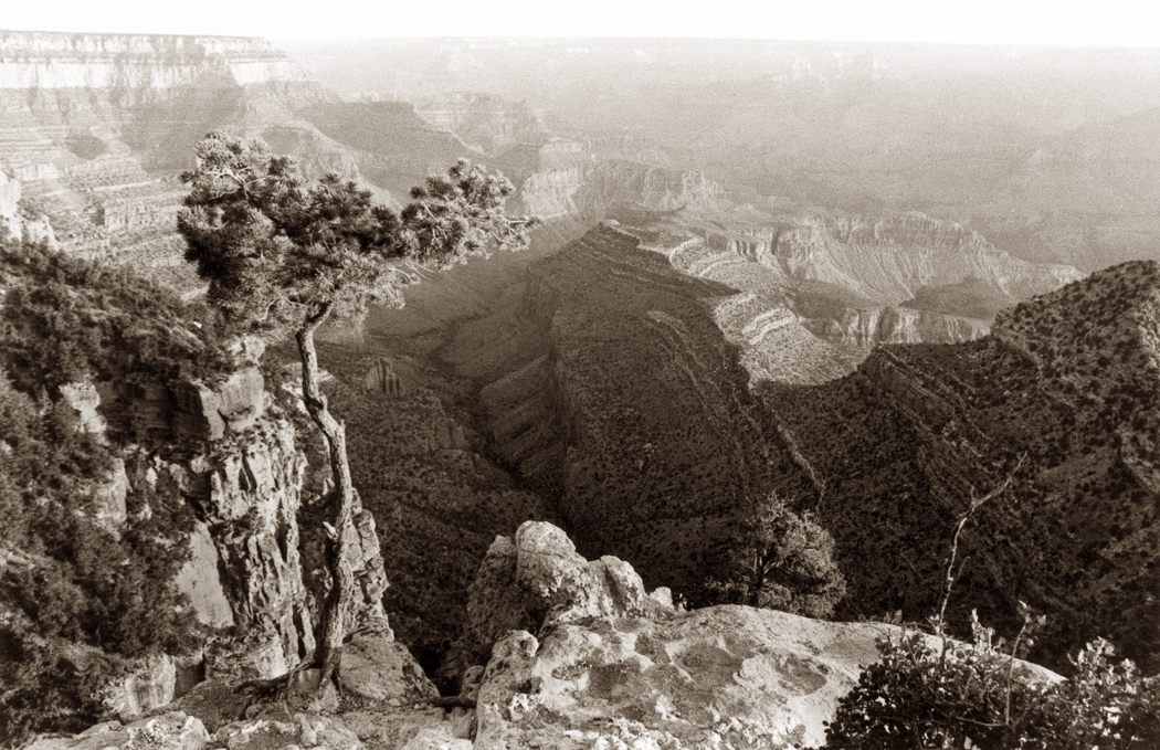
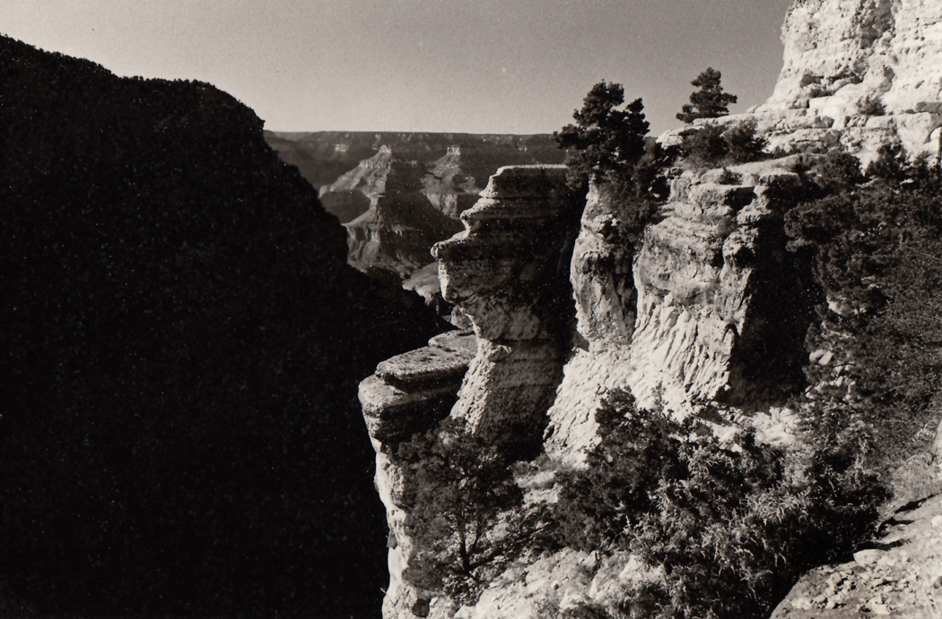
How much more do you sense these multiple time scales at this rift’s big brother, the Grand Canyon.

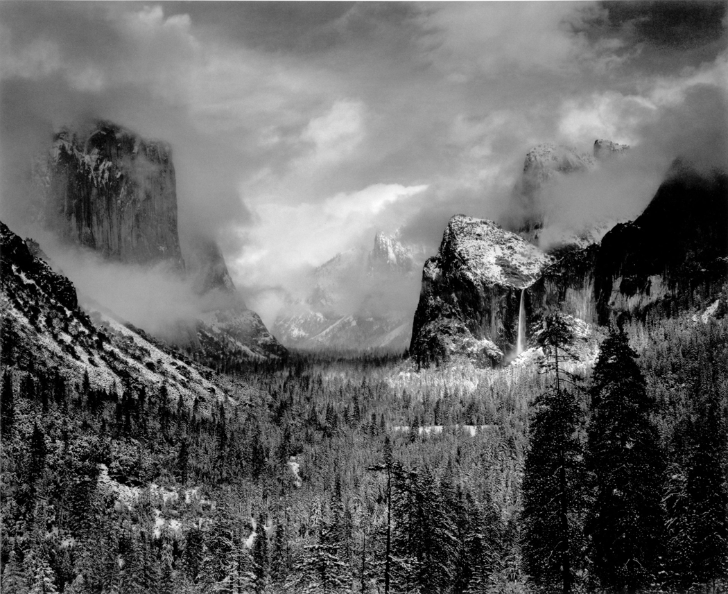
Marble Canyon
If you want to have the planetary feeling without racing around the globe, you can get it standing still in Arizona: with your feet planted at the edge of the Grand Canyon. In that case, you stand stock-still and let the planet do the moving.
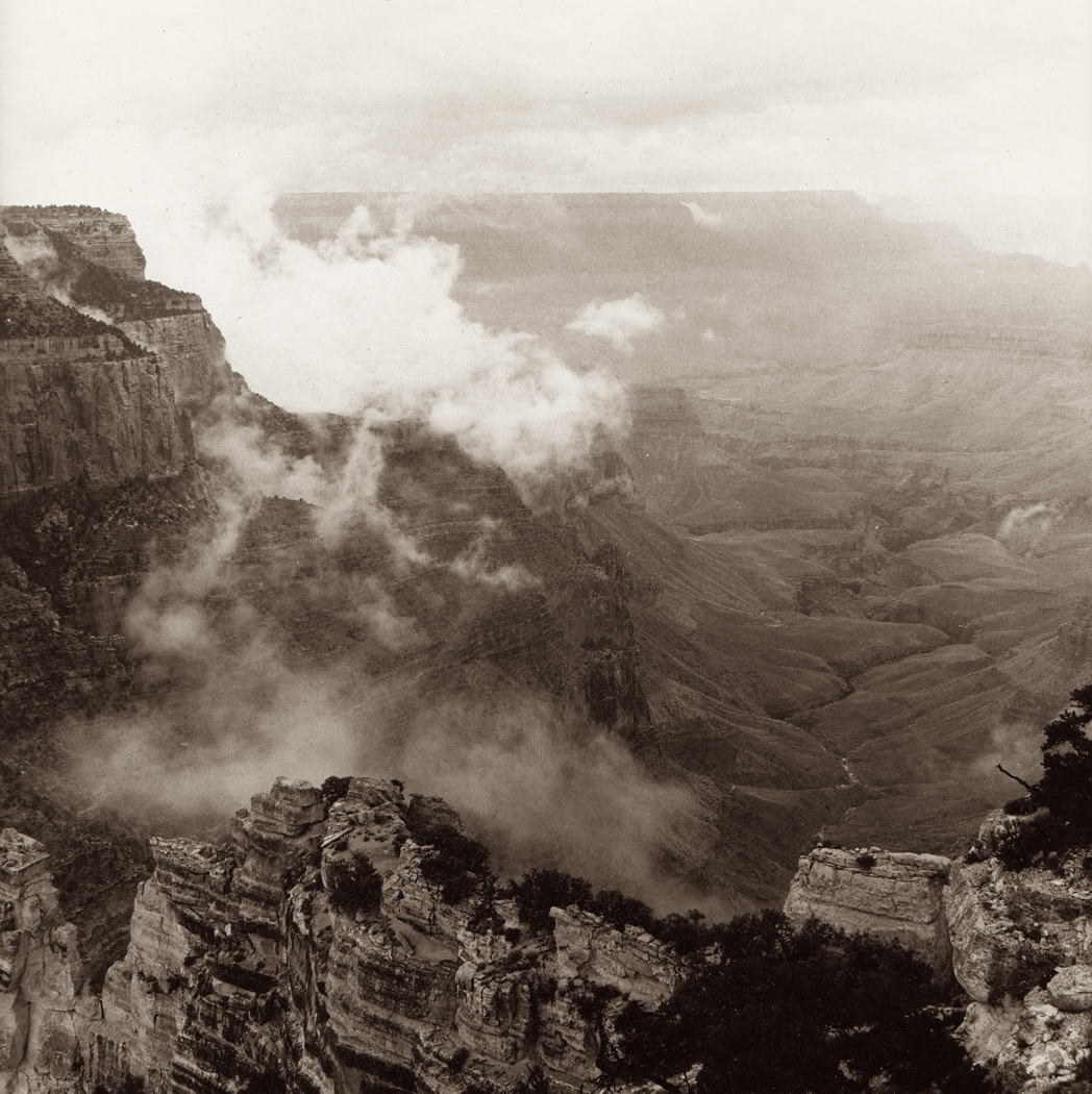
North Rim, Grand Canyon
The first time I saw sunrise at the Grand Canyon, my wife and I were camping on the North Rim outside the National Park. We had arrived with the naive assumption we could wander in late in the afternoon and get a room at the lodge. Or failing that, we could get a slot at the campgrounds.
The desk clerk took pity on us and explained that although they were completely booked, lodge and campground, for the foreseeable future, we could find a dirt road just outside the park that would take us to a place in the National Forest where people often camped.
It was dark by the time we got to that road, and when we turned into an open place where two or three other tents were set up, it was already night.
We slept, we dreamed, and we woke before sunrise, when the earliest glow floated in through our tent flap. And when we got out to stretch and start up the camp stove, we gasped: We were about 15 feet from the rim of the canyon. It dropped out of sight below us.
If we had pulled forward just a little farther the night before in the blackness, it would have been Thelma-and-Louise time for us. We were hard on the edge.
But more impressive, the humid late-July weather had left the entire canyon as a gigantic dish of cotton. The clouds filled in the canyon-hollow like apples in a fruit bowl. A 215-mile long fruit bowl.
The mists swirled and wisped below us, over precipices and down canyonlets, in constant motion, rising and subsiding as the new-hatched sun warmed patches of the air the mist rode upon and the breezes wafted the veils.
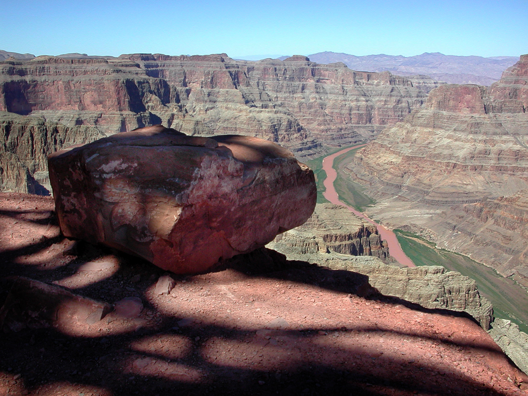
Grand Canyon West
The Classical writer, Longinus, said that we enjoy the day-to-day things of our lives, but when it comes to awe, we get that only from the sublime. Hearth fires, he said, were nice, but erupting volcanoes make us consider a planet and cosmos larger than we are and well beyond our control. The sublime is beautiful, but it is also scary: It is the source of religious feeling.
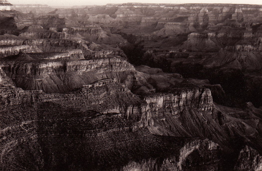
You cannot avoid that at the Grand Canyon, with its stony layers of eons piled upon each other. The Canyon is a great wound in the Earth into which we can look and see its organs pulsating at a rate so slow as to make all of human history a mere blip on its EKG.
The Grand Canyon is a clock. It has a big hand and a little hand.
The little hand moves very slowly, telling the time in geologic terms. To see the hand move, you must wait millions of years.
In that time, you would see continental oceans lay down sediments and tectonic forces push those layers upward, only to be eroded by a river, like a sand pile washed by a hose.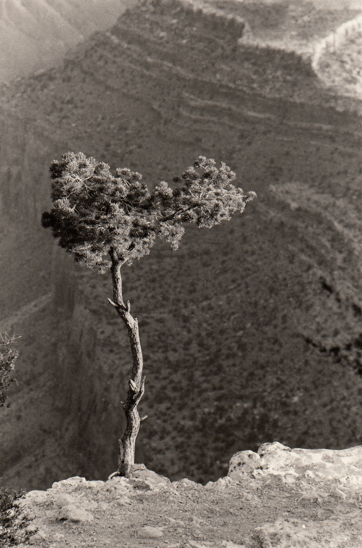
One stands at the rim now and looks back into the past, washed away eon by eon, stratum by stratum, until one’s eye stands on the Vishnu schist, the Precambrian footings of the Canyon.
You hardly can take in the vastness of it. It is an earthly reminder of eternity, that time beyond time that turns our lives into flyspecks.
But this geological clock has a fast-moving big hand, too. And it changes all 200 miles of the Canyon second by second. It can seem to the observer like time-lapse photography in real time as the sun jumps from the horizon and changes the shadowed blacks of the deep walls to a burning cherry ruddiness and on much too quickly to the weathered indigo blueness of noon.
Cycles and epicycles, wheels inside wheels, the turning of time on itself in all its speeds.
The first time I saw the Canyon, I got there before dawn. My wife and I had arrived late the previous night and wound up camping in the Kaibab National Forest outside the park. I set our alarm clock for 4 a.m., and when we got up, it was completely dark.
We drove to the overlook at Lipan Point, and I set up my camera in the blackness, out on a rocky ledge beyond the guardrail.
The tripod barely could find purchase on the narrow outcrop, and my wife warned me about taking chances, especially by the glow of a flashlight.
A little after 4, the horizon began to appear. It was July, but it was icy cold before the sun rose. The batteries of my light meter ceased to work in the cold.
Yet it was beginning to be possible, as the far edge of the Canyon contrasted with the blue-gray of the lightening sky, to focus my lens on the ground glass of the camera. And I saw there little more than that dividing line.
But down in the bottom of the Canyon, a mile below us, there was a snaky line of a reflecting light.
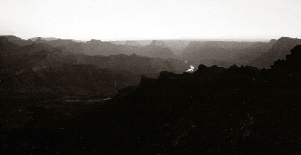
It was the river, a white tube of neon cut off here and there by the mesas and buttes below us. At times, the rope of water actually seemed brighter than the sky.
I managed to take a two- or three-minute exposure of the nearly black landscape. The glow in the sky had begun to make some of the rock texture visible, but less so to the eye than to the camera.
Moment by moment, the scene changed, a slow crescendo of light that began where the river disappeared in the northeast until the fire broke the horizon and the first sliver of sun appeared.
What is most surprising is the quickness of the change. If you were to take a photograph once a minute over the course of a day, you hardly would have two alike.
When the sun is on the horizon, you actually can see it move. And as it rose and sank its light deeper into the Canyon, what had been a charcoal mass of rock mazes became lighted at the top ends of the rocks, like the cherry end of a cigarette in the dawn.
You could see probably scores of miles down the Canyon to the west and see the angle of the sun on the edge of the rock.
Nothing is so like the Earth waking up.
Looking toward the sun, the Canyon became a receding stage set of silhouettes, each lighter and grayer as it retreated toward the sunrise. Looking away from the sun, the rock faces became increasingly red, then orange, then brick, with layers of white and green thrown in.
The Grand Canyon is grandest in the dawn. Those willing to awaken early enough stare into the clock of the day playing on the stone and see their lives moving before them. If time is a stream, as Thoreau says, at the Grand Canyon you can see its rapids. The change continues all day. On most summer days, the midday hours are the least interesting. The hazy blueness of the distant rim seems steady from about 10 a.m. to 2 or 3 p.m. But if you stare with enough commitment, you can see the changes even then as the downward angle of the sunlight twists slowly from one side of the cliffs to the other.
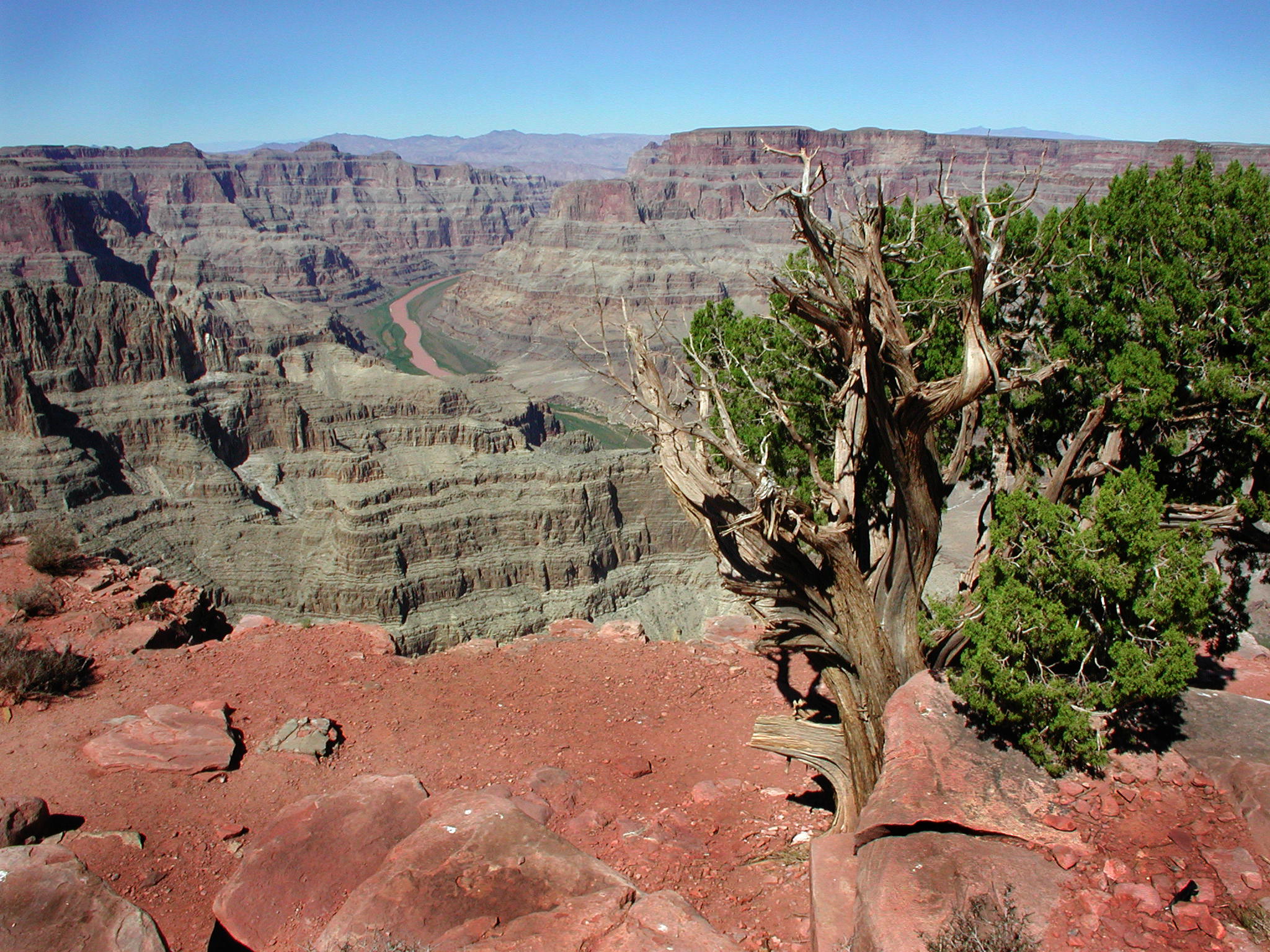
Grand Canyon West
Later, when the sun’s angle lowers to day’s end, the changes accelerate once more, taking the rocks back from blue to red and into darkness.
There is no mistaking the Earth as a clock, turning with the sun as the hour marker, moving in orderly procession around the rim of the great circle we live on.
But the two clocks at the Canyon also remind of the conflicting realities of the place. On the one hand, the slow clock tells of the everlastingness of things, their physical endurance. On the other, how can you believe in reality if the same limestone that can be red at 8 a.m. can be blue by 9?
It reinforces your sense of rock-solid reality and undercuts your belief at the same time. To live in two times at once: This is the central message of all the world’s religions.
When people find spiritual meaning in the Canyon, perhaps it is these conflicting clocks more than anything else that create that sense. Certainly, the Canyon’s vast space is inspiring, but it is time that speaks of eternity and our place in it.
 Click any image to enlarge