In October my ex-wife and I decided to take a drive from Asheville, N.C., to Sullivan, Maine, to visit our old college friends, Sandro and Mu. This is Part 2 of that trip.

Oct. 12
The plan was to drive no more than 200 miles a day. Yesterday, we did 305; today, we did 370. We woke up this morning in somewhere in the middle of Pennsylvania, and are going to sleep this evening in Massachusetts. Again, not our plan. But sometimes fortune intervenes.
The problem, once again, was finding a motel. I’ve driven all over France, where the guide books tell you that hotels are scarce and you should always plan ahead and make reservations. We never did, but always found a place to stay, and some of the cleanest, best-designed rooms I’ve ever seen. You can’t beat the Ibis hotels.
Who ever thought that we’d come a cropper in upstate New York or western Massachusetts?
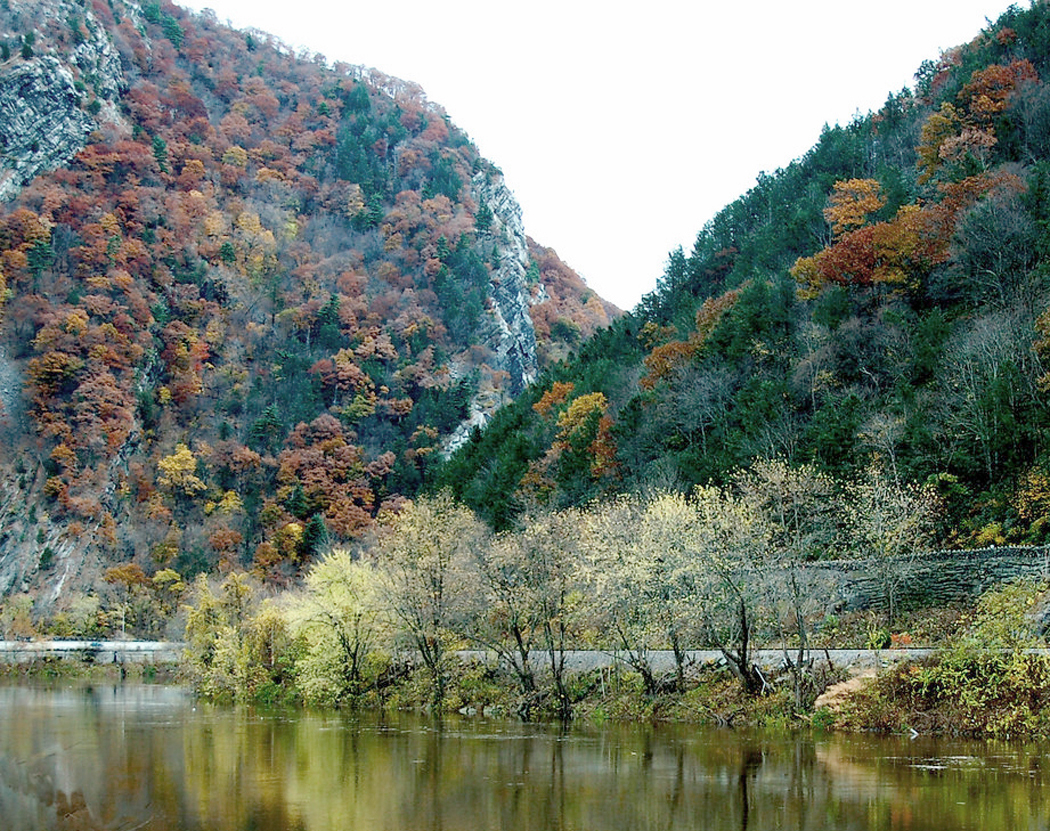
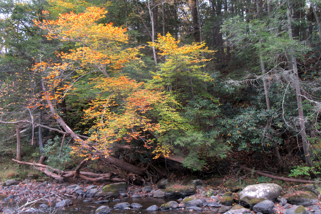
The day began well. A fast trip to the Delaware Water Gap and a slow 15 mph drive up the National Scenic Area along the Old Mine Road on the New Jersey side. At the visitor center the ranger told us to be careful of the potholes. “Some of them are bigger than I am,” she said. The road alternated between pothole pavement and gravel, with a couple of patches of new macadam. We played pothole slalom for most of the way, weaving from one side of the road — call it a path most of the time — and back to the other. For the first nine miles or so, we saw no other car, either coming or going.
The Gap is a place where the Delaware River has cut through the Kittatinny Mountain ridge, leaving a notch in the hills. On the Pennsylvania side, Mount Minsi rises to 1,540 feet and on the Jersey side, Mount Tammany, about 20 feet lower.
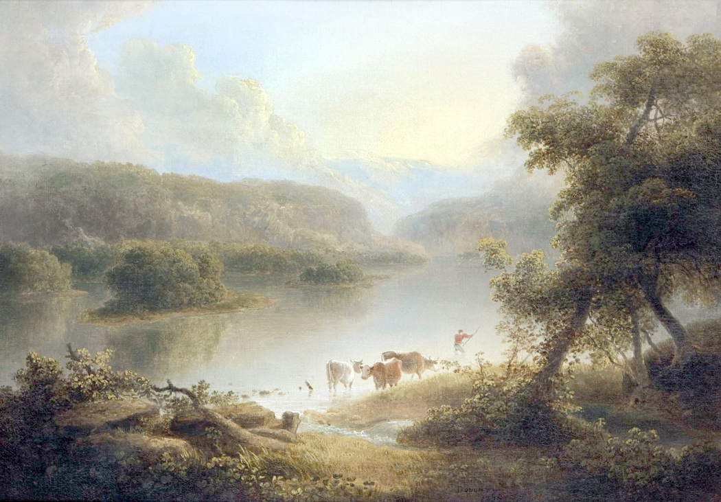
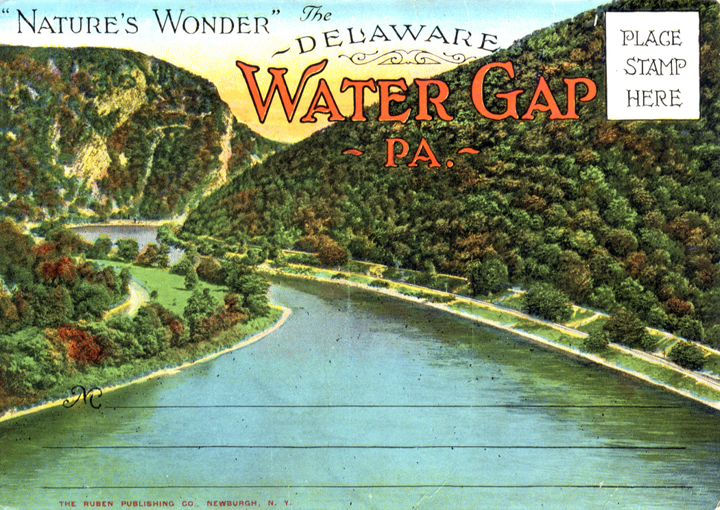 The 40-mile stretch of the river and surrounding country is now the Delaware Water Gap National Recreation Area, and the whole area has been a tourist draw since the 19th century, when landscape painters, such as Thomas Doughty, made scenic and romantic paintings of the region.
It is also about 4 miles from where I went to summer Boy Scout camp as a boy.
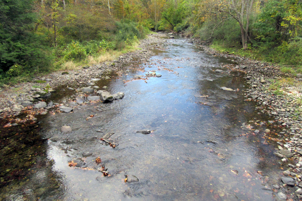
The Delaware River is gorgeous in the morning. We stopped away from the river at an old bridge and watched a couple of fishermen tossing their lines into the tributary creek.

Bear Mountain Bridge, Hudson River
Then we hopped back on the Interstate in Port Jervis, N.Y., and drove across Orange County and into Harriman State Park and Bear Mountain. By this time, Anne was feeling hungry and bladder-bloated, so we had to find a place to satisfy both urges rather than drive up Bear Mountain.
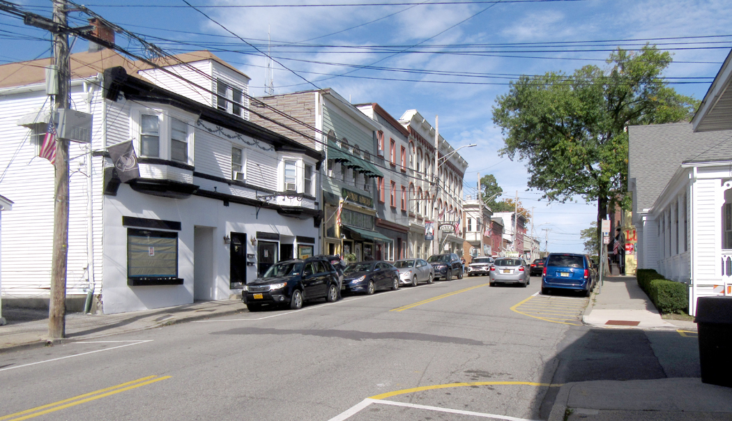
So, off to West Point. In the town of Hudson Highlands we found a pizza joint — a storefront with three tables and a counter to order at. We asked the man if they had a bathroom. “No, no bathroom.” But, he said, “They have bathroom two buildings up street.” I hope you can tell by my brazen attempt to capture accent that he was not born in New York.
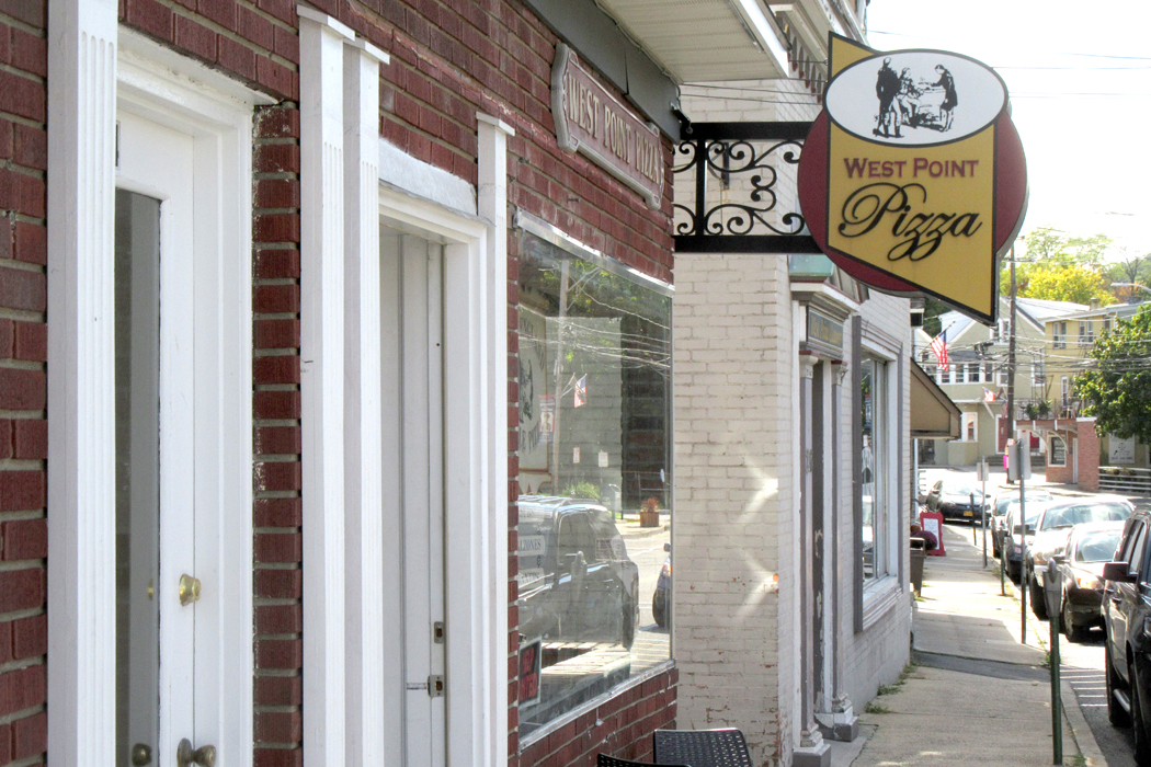
We walked up the street and found the public library, a tremendous old wooden building white with columns in front. Inside there was no one. You could hear the echo of your own footsteps on the wooden floor. But they had the conveniences that Anne required. We walked back to the pizzeria and had a damned fine pie. New Jersey style. The way it’s supposed to be.
Each time I drive anywhere near the tri-state area, I seek out a non-chain pizza joint to achieve that satisfying foodgasm of a New York pizza, the only real pizza to anyone who has grown up with it.
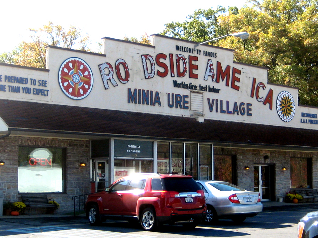
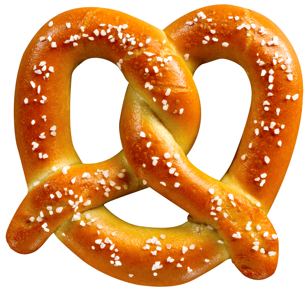 Every region has its food chauvinisms. North Carolina barbecue, Seattle alder-smoked salmon, Philadelphia cheese steaks. One of the lesser regional contenders is the soft pretzel. These are the size of calzones, with a malty, bready interior and a thin crisp brown crust coated with kosher salt. They taste like nothing else, especially when they are still warm, and the only place to get them in their true form is in eastern Pennsylvania and in a belt up through New Jersey and parts of New York. Oh, you can find them elsewhere, but they are no better than the so-called “New York style” pizza you find in Kansas or Saskatchewan. Worse: the frozen pretzels you can find in the grocery store.
Well, Anne, who has barely left North Carolina through most of her life, had never had one of these. We stopped at a turnpike rest plaza and I bought one for the car. She took a bite of it and decided she had to have another. And another. We spent a good portion of the drive all the way to Maine looking for another pretzel, but never found one. We had left the pretzel’s home territory.
 Anyway, we drove up U.S. 218 around Storm King, a great mountain of rock that juts out into the Hudson River with a tiny two land road curving around it above the water and below the summit. This is a road my family used to take when driving up to the family bungalow in West Park and the ride on the thin ribbon of road around the mountain was the part of the trip that I loved most, but gave my poor father white knuckles.
Finally, we got to Newburgh, where we had intended to spend the night. But, I thought — like an idiot — let’s just get over the river on the bridge. So, we crossed over the Hudson to the other side and immediately came a cropper on finding a motel. “Motels are often found along the freeways,” I thought to myself, so we turned north on the Taconic State Parkway. No hotels. No nothing. Robert Moses designed this road in the 1940s and must have purposely routed it through empty terrain to make a pleasant and green drive. But it meant no hotels. We drove for a hundred miles. No hotels.

Got off the parkway and back on U.S. 9, which is a commercial road. No hotels. We drove through Hudson, N.Y., home of Frederick Edwin Church’s Olana. No hotels. Up through Kinderhook, boyhood home of Martin Van Buren. No hotels.
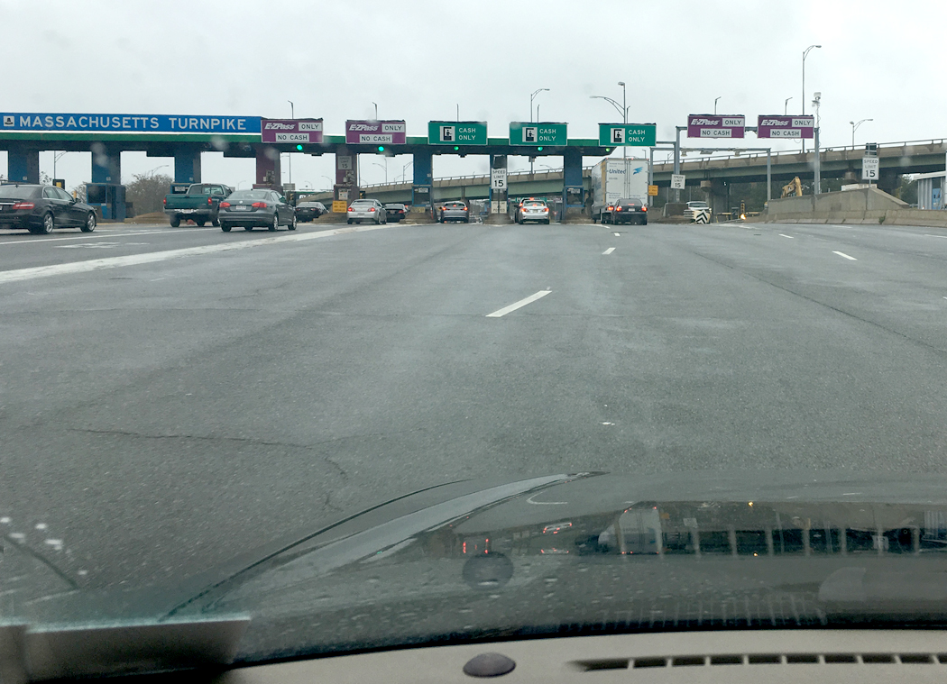
“Route 9 will hit the interstate soon,” I said to Anne. “There are always hotels along the exits.” No, there aren’t always. The interstate turned into the Massachusetts Turnpike. We asked the man at the toll booth if there were any motels along the pike. “Yes, he said, every exit has them after Exit 2.”
We sighed relief and drove on. Turns out, the turnpike runs for more than 30 miles before any exit. We both thought of the old song about “running forever ’neath the streets of Boston.” The MTA.
The deal was that the turnpike runs up and over the Berkshires and there were no exits until the road came back down from the hills. Then we turned off into Exit 3 in Westfield, Mass. Hooray, a single solitary motel. I went in to sign up. No room. All full.
“There’s a dog show in town and a couple of 50th anniversary school reunions and a football game, so everything is booked. You might try the next exit; there are several hotels there.”
So, back on the turnpike to Exit 4. A Miracle Mile sort of place and several motels. But this time, I am pretty well blasted. We have driven 370 miles so far today. I pulled in to a Clarion Inn. Anne stayed in the car and I went into the lobby. Eight people were in line at the desk and when I finally got to the front of the line: “No, we’re all filled up.”
I drove up and down the highway, trying to get into motels that always seemed to be on the other side of the median, making me drive up the street to make a U-turn and back to the place. Full.
“There’s a Red Roof Inn over there,” Anne said. Up the road. U-turn. Into the lot. A room. A blessed room. A holy respite. Peace at last. Second floor, up the exterior stairs with all our bags.
“I’ll go out and get something for supper,” Anne said. She walked up the road to Five Guys and got a couple of greasy burgers and a bucket o’ fries and brought them back. We ate. We watched the glum news on MSNBC.
It was getting dark when we finally pulled into the motel. Sleep will be early tonight. Tomorrow, we head for Portland.
Oct. 13
 We are in Portland tonight, at a La Quinta. We are wondering what is it about New England that they try to hide their motels? We came up I-95 into South Portland and took an exit that had a “lodging” sign by the roadway. The ramp emptied into a roadway that came to a stoplight in the middle of nowhere. All around us, vacant lots and empty fields. In the distance, a few office buildings.
I tried to find signs for the airport. Motels usually cluster around airports. But when I got to the airport: Nothing. We circled the airport and found zilch. How is this possible?

Anne thought she saw a Comfort Inn near the freeway, but when we drove to where she thought she saw it: Bupkis. We drove aimlessly for a while, trying to scare up something and finally drove by the La Quinta. Drove by is the operative word. It came up on us too fast and I was in the wrong lane. So, I tried to loop around, but faced a maze of one-way streets. Finally, we got there. It is the most expensive hotel I have ever stayed at, but I wasn’t going to venture out into the jungle again to find something cheaper.
Earlier today, we drove through Concord, Mass. When I first visited Walden Pond, so many years ago, I remember we were dreading that it would turn out to be a tourist trap. We imagined fast food restaurants and miniature golf. But when we got there, there were only a few parking spots beside the road and no one at the lake except a couple of fishermen with their lines in the drink.
I’ve been back to Walden Pond maybe a half-dozen times, maybe eight. I have circumambulated it three times. Each visit back, the site is a little more built up. Still just a wide spot in the road, except for the swimming beach on the east end. Walden Pond, it turned out was the local swimming hole. The last time I was there, for the newspaper, someone had built a replica of the original cabin across the street from the pond.
Well, this time, it was the full catastrophe: Tour busses, parking lots, a new visitor center and the street choked with pedestrians crossing from their cars to the beach. I got into the line for the parking lot, but when I got up near the turn-off, I could see the cars extending like a freight train into the distance and so decided to drive off without visiting the shrine.
“Maybe it’s because it is a weekend,” Anne said. “Maybe we can come back on the way home during a weekday. Maybe it’s because it’s Columbus Day weekend.” I dunno, but it was Myrtle Beach all the way. How horrifying.

 The other misadventure was Kittery. It was lunchtime and Anne was hungry, so I got off I-95 and looped into town on U.S. 1, only to find it was clogged with tourists. We found a Dunkin’ Donuts and had a sandwich and got back on Route 1 heading north. At Ogunquit, we found the highway turned into a parking lot. The road into downtown was stock still. It took us nearly an hour to get through town. We felt a teensy bit better on traveling north as we watched the parking lot headed south go on for miles and miles, much worse than we had it going north. Phew.
Anyway, as soon as we could, we got off Rt. 1 and back onto the interstate and cruised into Portland.
Tomorrow, to Augusta, Rt. 3 to Belfast and then zip the rest of the way past Ellsworth and into Sullivan.
Oct. 14
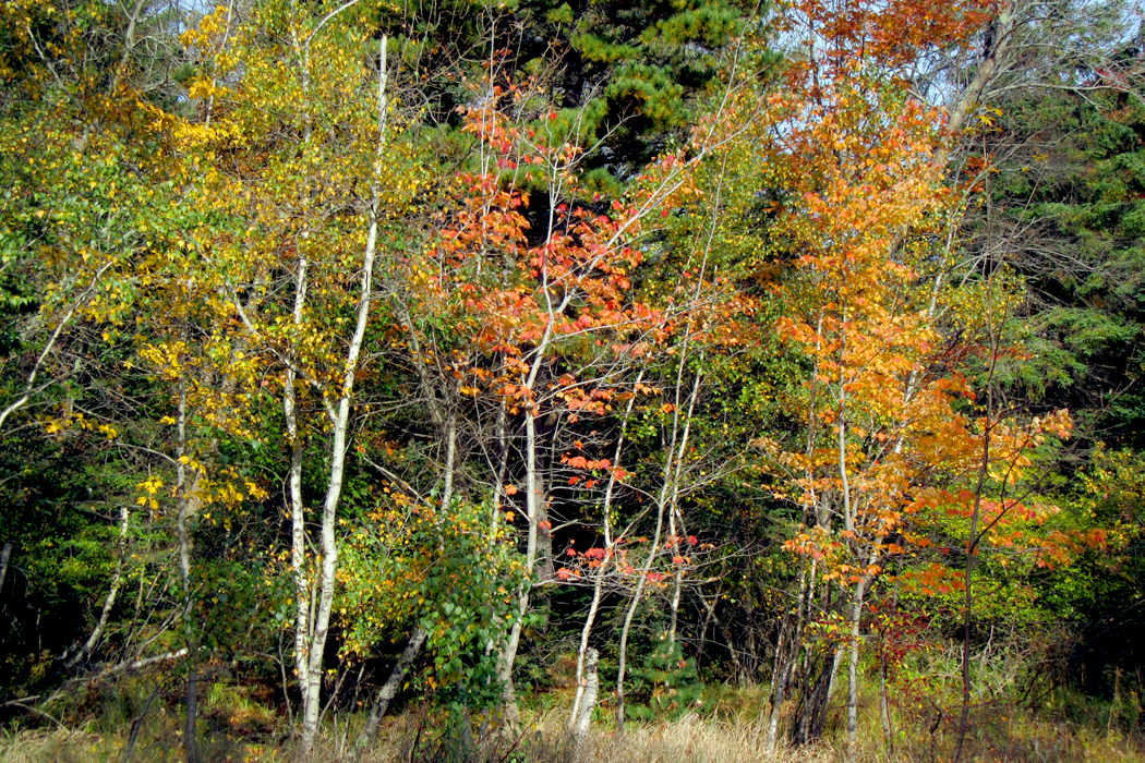
We have arrived in Sullivan, Maine. It has been a drive of 1472 miles. The fall color has been absolutely neon. I don’t remember the last fall with this much color.
It is overcast and chilly this afternoon, and although it is only 4:15 p.m., it is already getting dark. We are a touch on the pooped side, and will probably turn in early tonight.
To be continued
Click on any image to enlarge