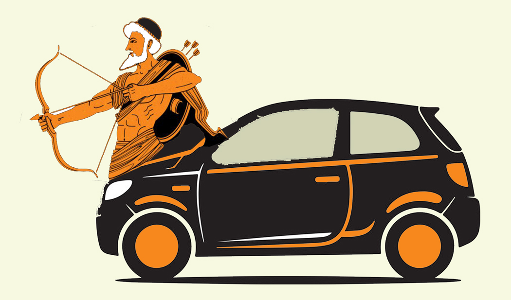
I am a centaur. Well, not technically — but I know what it feels like to be one. Sorta.
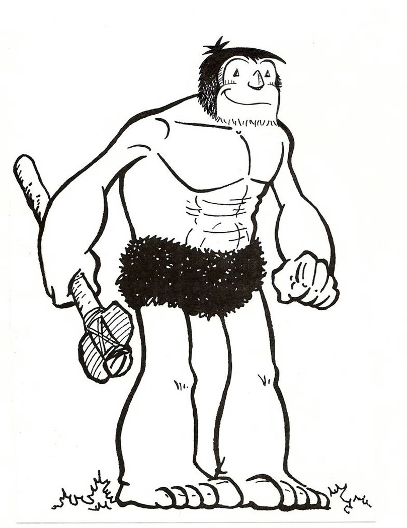
A centaur is a familiar mythological creature, half man, half horse — although more like one-third man with two arms, and two-thirds horse with four legs (although there is a second version that is half man, with two arms and two human legs in the front, and the rear half of a horse abutted to the backside). In either case, with six appendages, the beast might well be classified as an insect.
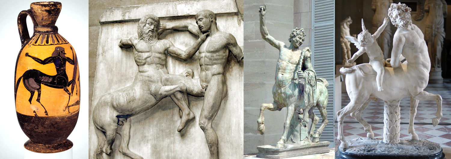
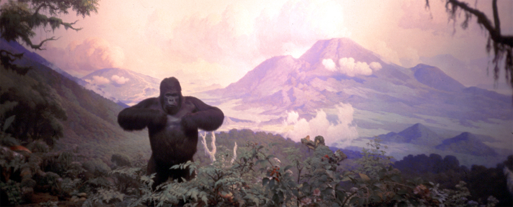
Mythology is well populated with the hybrid offspring of human and animal, from the Minotaur through the sphinxes and down to the half-man, half goat satyrs. They all seem to be metaphors for the animal side of human nature.
Like most Greek myths, there are multiple versions of the story, but in the most common form, Ixion lusted after Hera (Zeus’s wife), so the Big Guy formed a false image of Hera from a cloud, named Nephele, and Ixion had his way with the cloud, which subsequently gave birth to a son, named Kentauros (Κένταυρος or Centaurus), who, in turn mated with the Magnesian mares of Thessaly, who then engendered the race of horse-men called Centauridae, or centaurs. In his anger at Ixion (remember Ixion?Several generations back?) Zeus struck him with a thunderbolt and bound him to a burning, spinning wheel that careened through the heavens forever. The wheel is central here.
Hence, the centaurs are the grandchildren of wheel-bound Ixion, which brings us back to me as a centaur. It is often thought that the idea of the centaur was evolved from first seeing men riding horses — who knew they could do that? The man and horse must be the same being. Merger of Homo and Equus into a single being, one mind, one corpus.
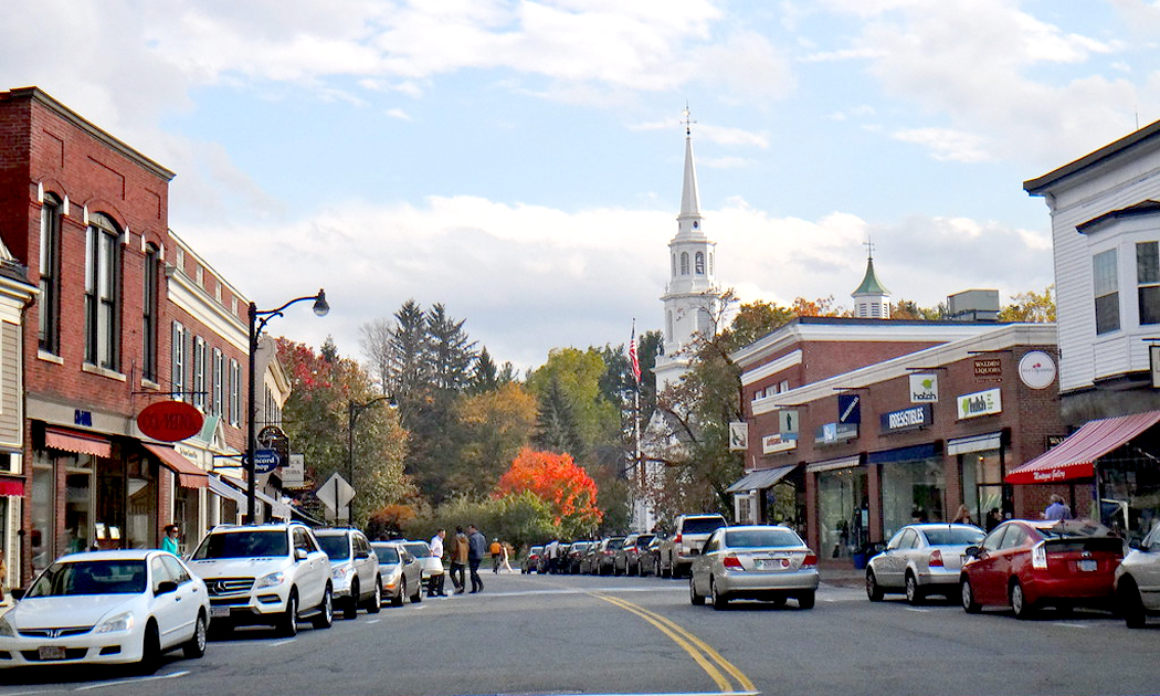
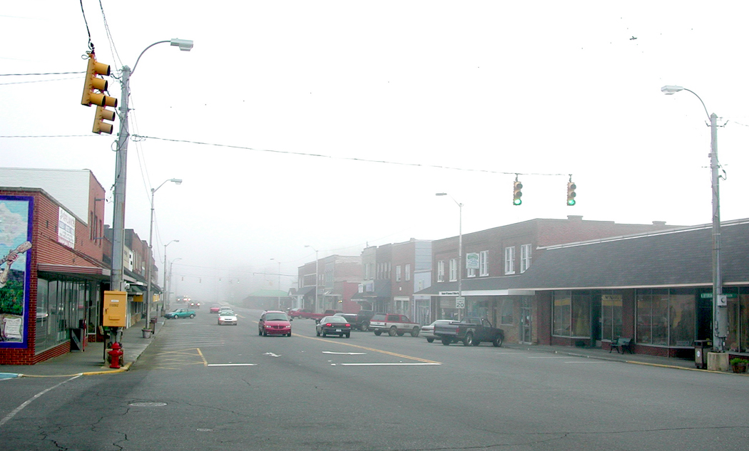
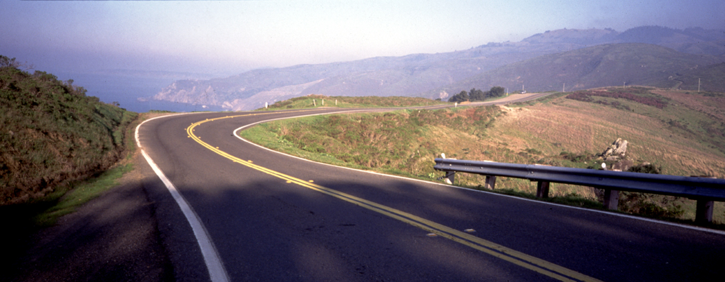
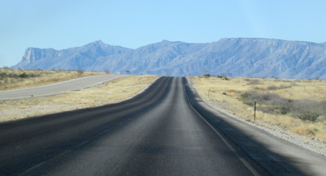
We don’t much ride horses anymore, at least not on city streets. We drive cars. And it is possible to merge with the machine just as it was thought to merge with beast. When I drive, the car and I become a single being. I am not just a person getting into a car, strapping on a seatbelt, plugging in an ignition key and revving up the engine. I become one with my automobile. It has been this way for me since I first got my driver license.
As a sidenote, I have tried riding a horse. Did not go well. It was a docile animal, but it turns out that the round belly of the horse and the desire of my knees to remain straight conflicted painfully. Knees bend front to back, horses pull them sideways. The wrenching pain was somatic dissonance. I got back in my car.
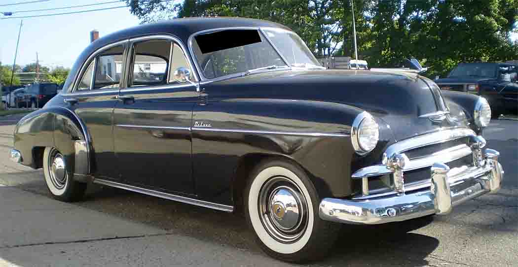
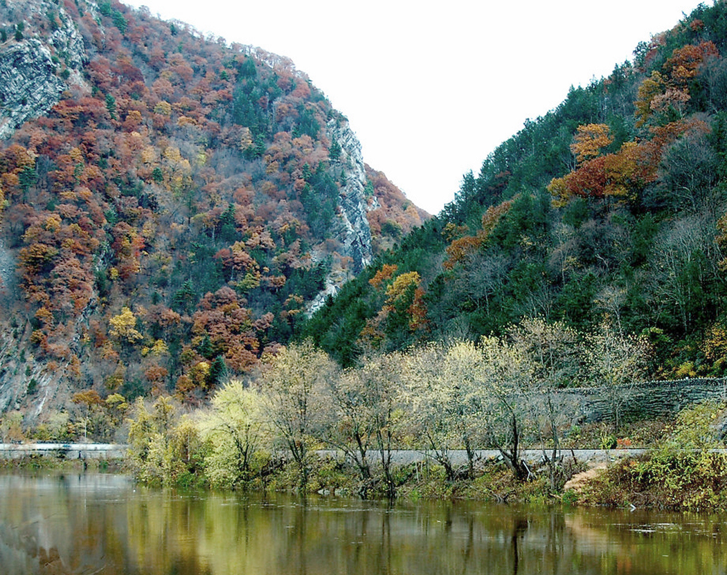
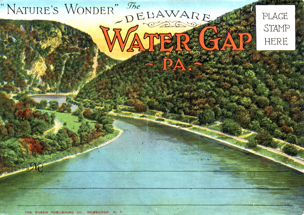
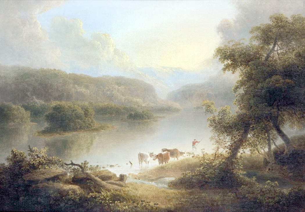
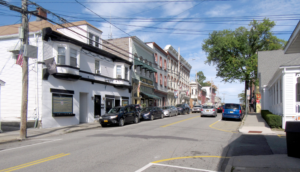
I’ve been a car person ever since I was two or three years old. We had a black 1950 Chevrolet, and in those years before children’s car seats, I rode in the back, standing on the seat so I could look out the window. I loved riding and watching the New Jersey scenery go by.
My younger brother, on the other hand, has always had a different response to car travel. I rode with my nose pressed to the glass so I wouldn’t miss anything. He said that car travel, for him, was much like an elevator ride. You got in, waited till you got to your destination, and the door opened and you got out. Basically, it was lost time.
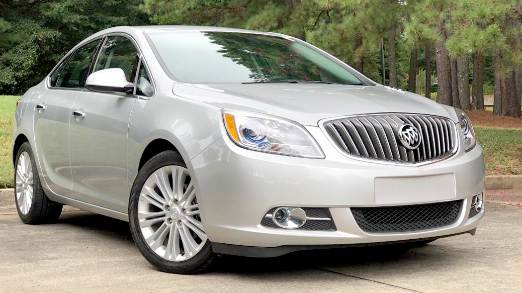
From my earliest years, I was hooked on driving and riding in cars, but I never transferred that interest to the cars, themselves.
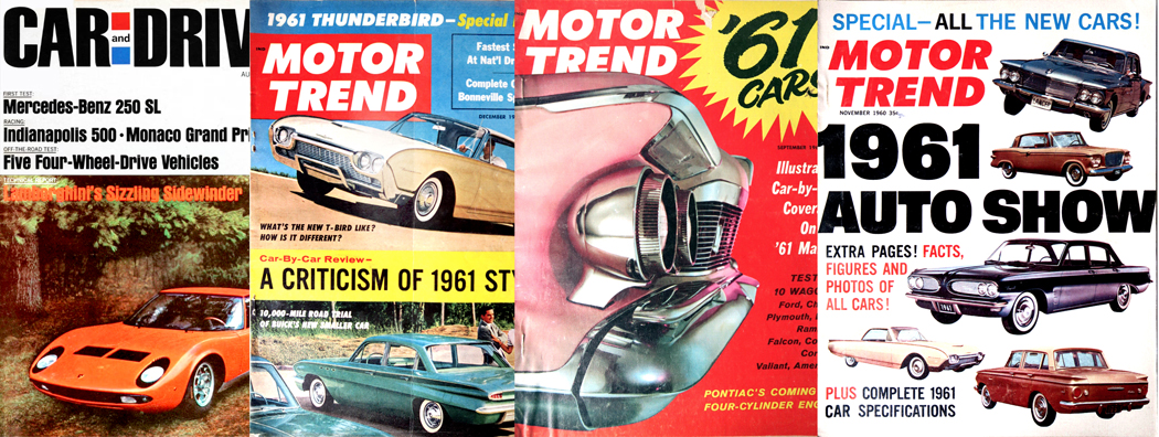
When I became a teenager, cars were important to all the boys I knew. They swore by Motor Trend magazine, and looked forward each fall to the unveiling of the latest model cars, with their tail fins and chrome trim. Which new car could go from zero to sixty the fastest. In contrast, I didn’t much worry about racing through city streets. Zero to sixty was a meaningless metric. For me, they were a means of going.
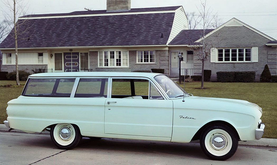
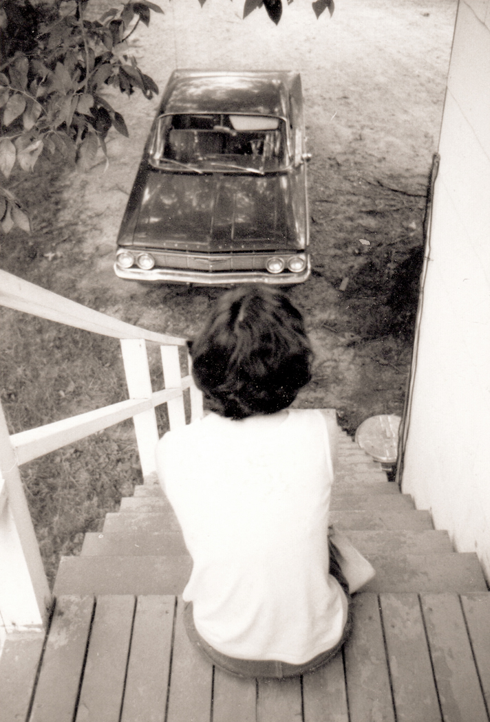
My first car was a powder-blue 1960 Ford Falcon station wagon, which had a mattress in the back and loosey-goosey steering, which led to my first car wreck. The second car was a red Chevy, twice the size of the Ford. For some reason, we kept a bunch of plastic grapes hanging in the rear side-window, and so we named the vehicle, Vanessa Redgrape. (The naming of cars, at a certain age, seems important. They all had names. My friend, Hank, had a green VW beetle he called Gigi, or “G.G.” for “Green Gonad.”)
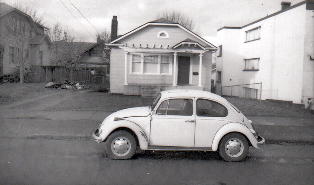
I also owned a succession of Veedubs, which I loved, in part because I could always repair them with just a hammer and a screwdriver. They were simple. Cars have gotten so much more sophisticated technically, so that now, mechanics generally effect engine repair not by fixing, but by replacing. It was the age, back then, of hippies and Whole Earth Catalogs, and I pined to own a VW Minibus, and eventually I found one I could afford, and it promptly broke down on the way home from the car lot. I couldn’t afford to fix it.
Many of us have had dogs we treasured, but they eventually die on us, and we sometimes find a replacement, but usually keep in our hearts the ones we loved most. Like the Navy blue Ford Falcon passed on to me when I was down on my luck by my friends Alexander and Mary Lou. It was falling apart, with no heater, no windshield wipers, and a rusted hole in the floor under the brake pedal that let me watch the asphalt pass by below my feet. It was the car I drove up the Blue Ridge to meet the woman who became my wife. It was snowing that day, and I had to drive with my window rolled down and my head stuck out like a locomotive engineer (or a happy dog) because I couldn’t see anything out the windshield. I loved that sorry car.
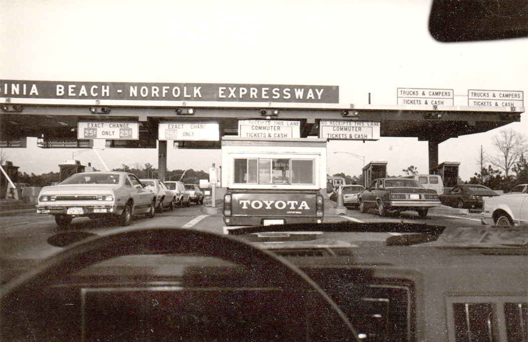
Mostly, since then, I have had modest cars with generic names, various Datsuns, Hondas, or Toyotas. Although one very particular exception was the Chevy Citation that came into the family when I married Carole. Citations had a reputation as a break-down special. They were badly designed. But for some glitch in the universe, her car was the opposite of a lemon. Never had a whisper of a problem with it and drove it past 200,000 miles, then gave it to my brother, who continued with it for some time.
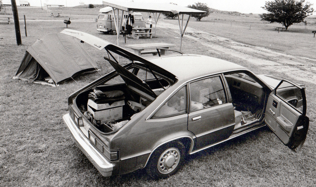
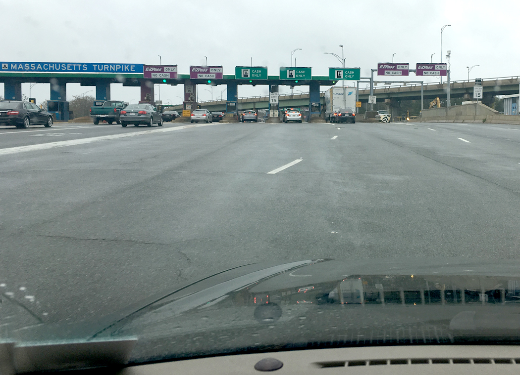
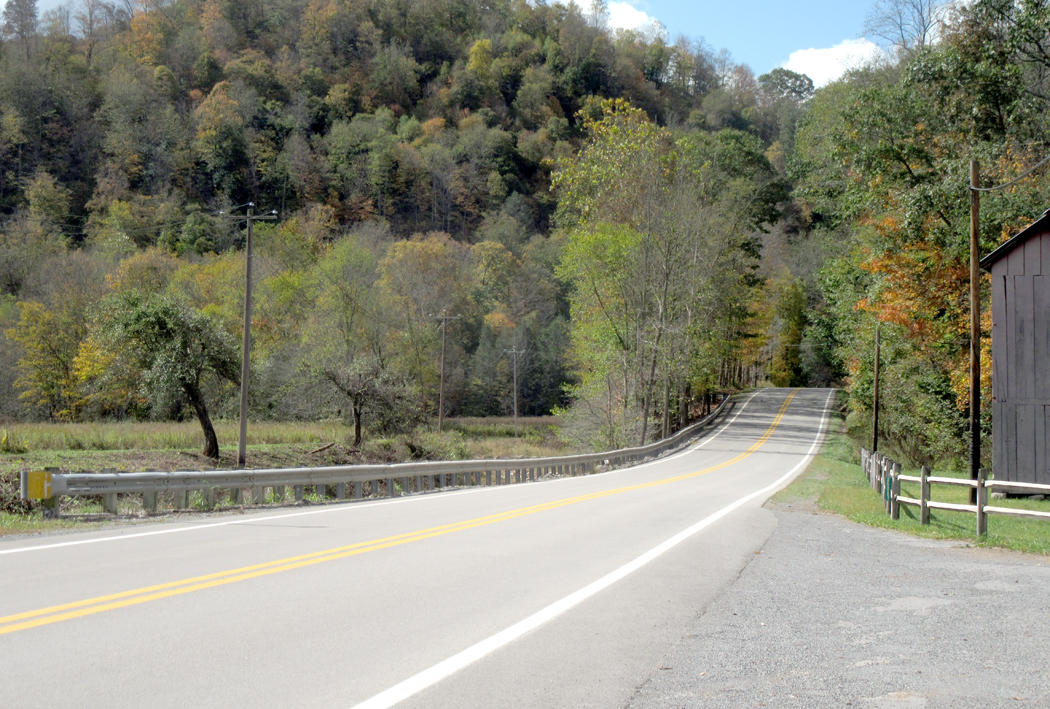
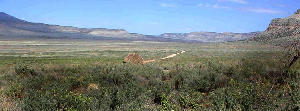
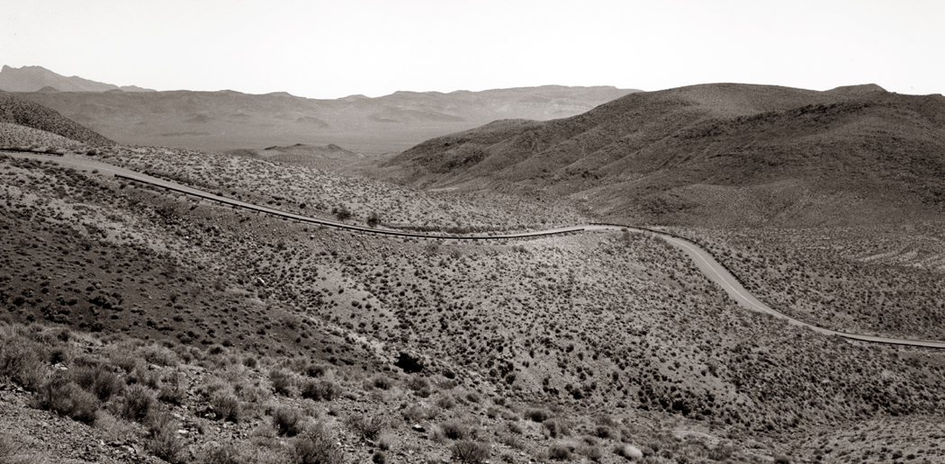
In that car, Carole and I began our many peregrinating years. She was a teacher, and I was also, and so, we had our summers free. In 1981, we put 10,000 miles on the Citation as we drove across the U.S., up and down and back and forth.
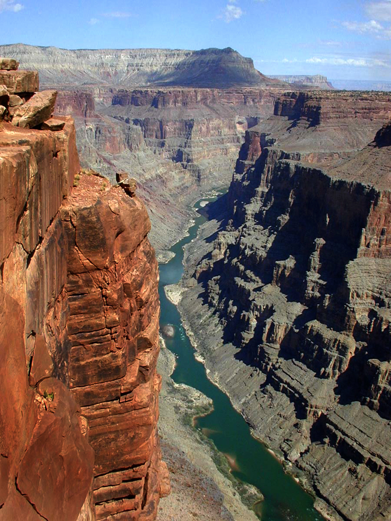
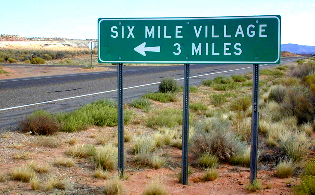
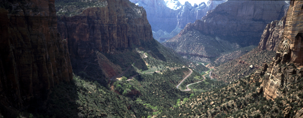
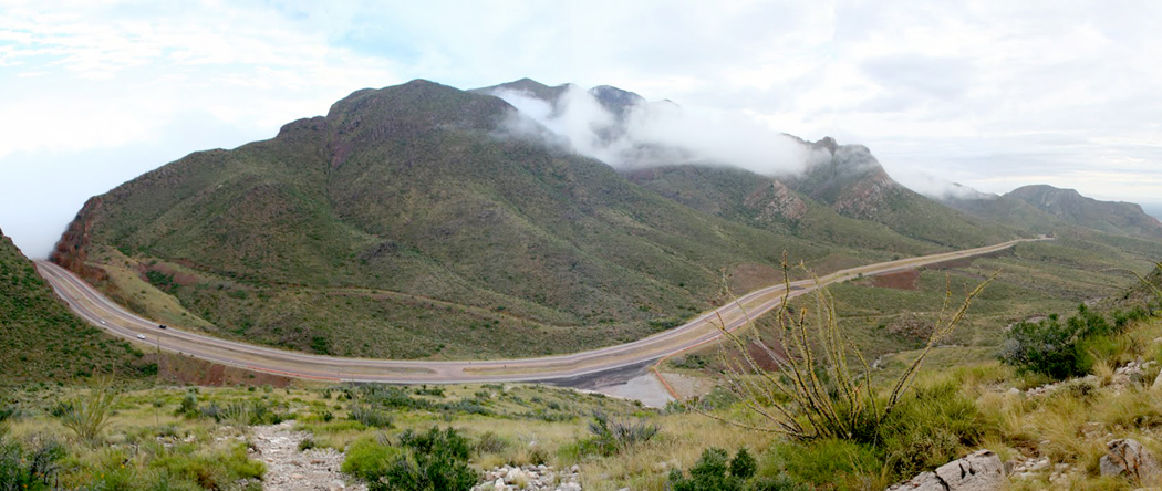
Each year after that, we chose a region and explored it in depth; by the third summer we had visited all 48 contiguous states, and most multiple times.
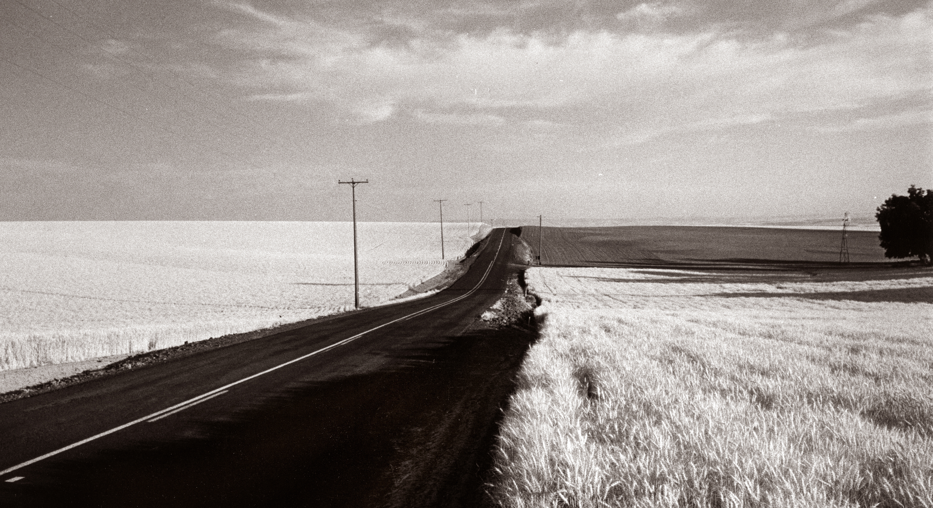
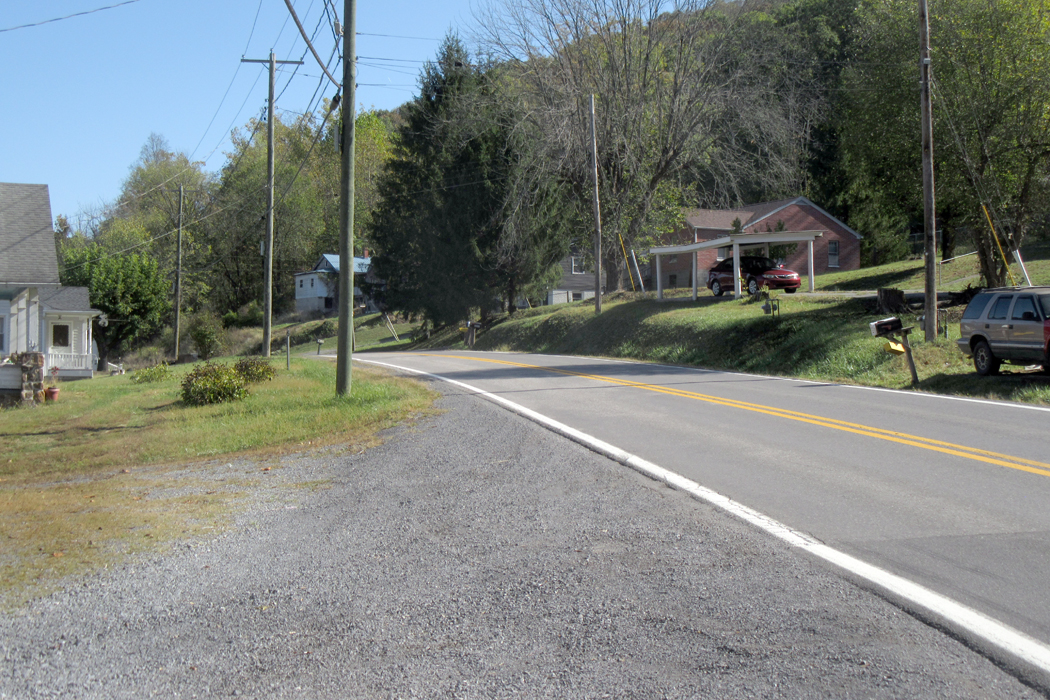
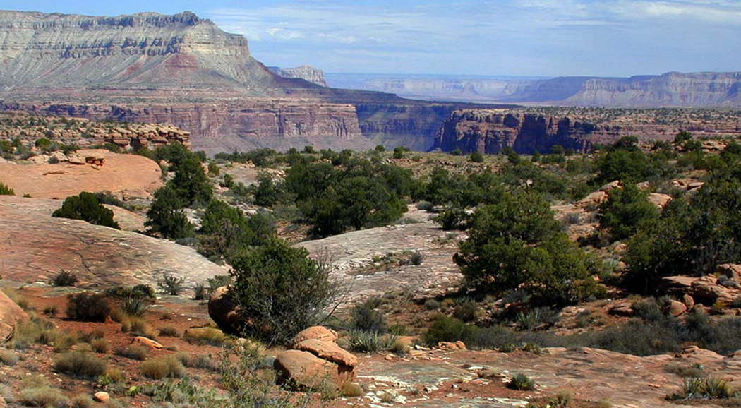
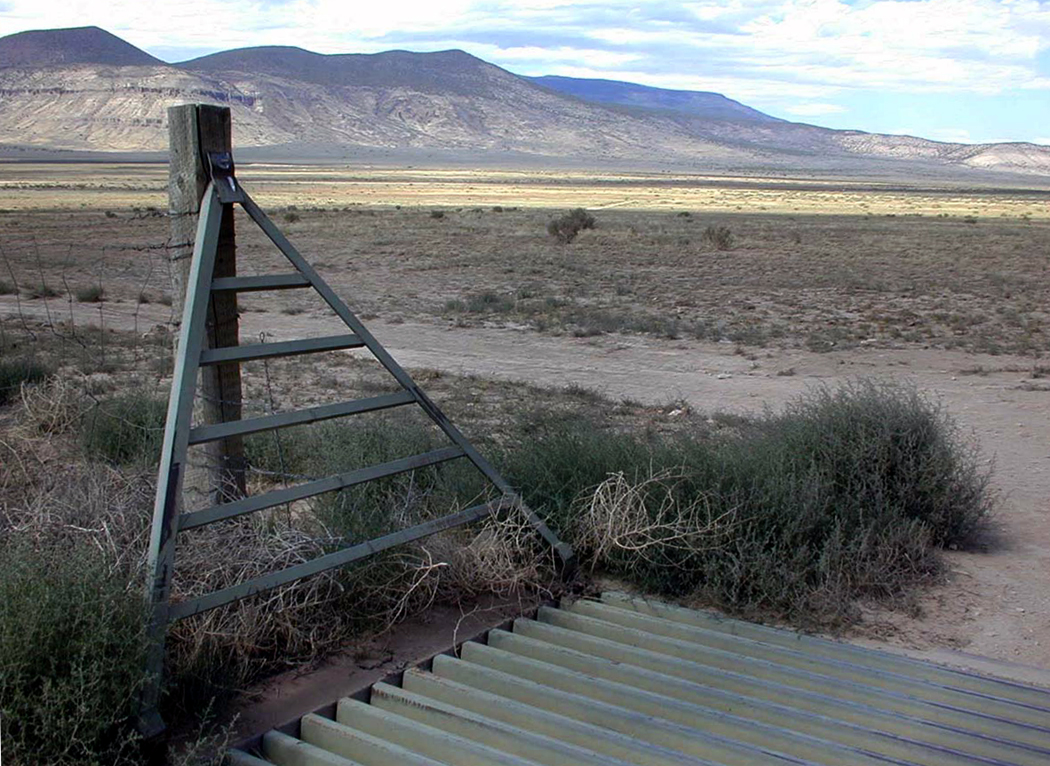
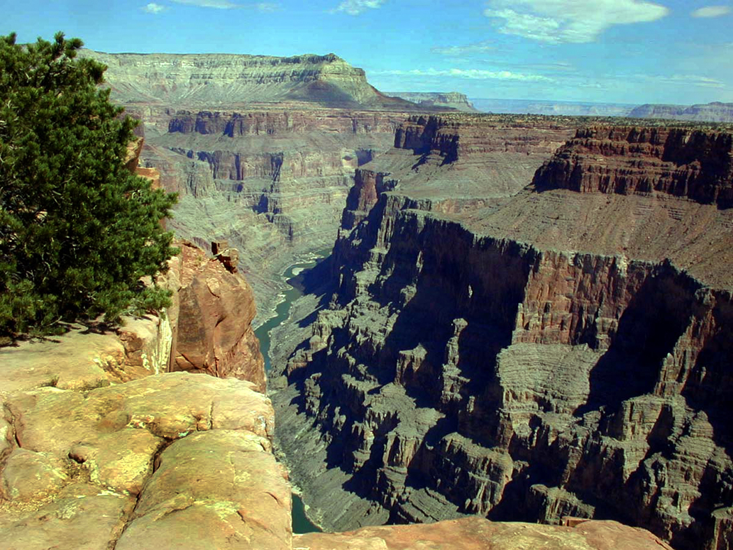
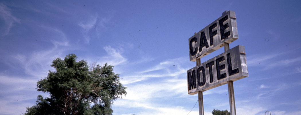
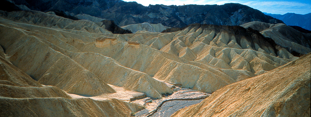
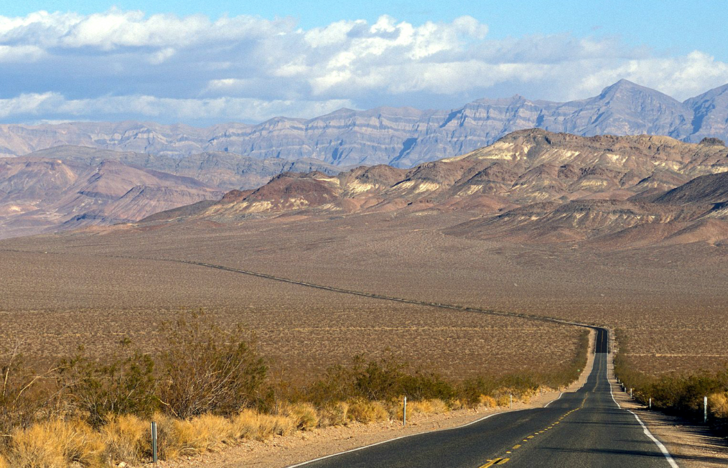
When we lived in Phoenix, I’d drive a hundred miles south to watch an opera in Tucson and drive home the same night. I could not tote up the number of miles I’ve sat behind the wheel over my life, but I’m sure I could have gotten to the moon and back, if there had been motels along the way.
And even now, when I am old and falling apart at the seems, so that even walking is a chore, with knees that need a serious relining, I have no trouble getting in the car and driving. I am most comfortable behind the wheel.
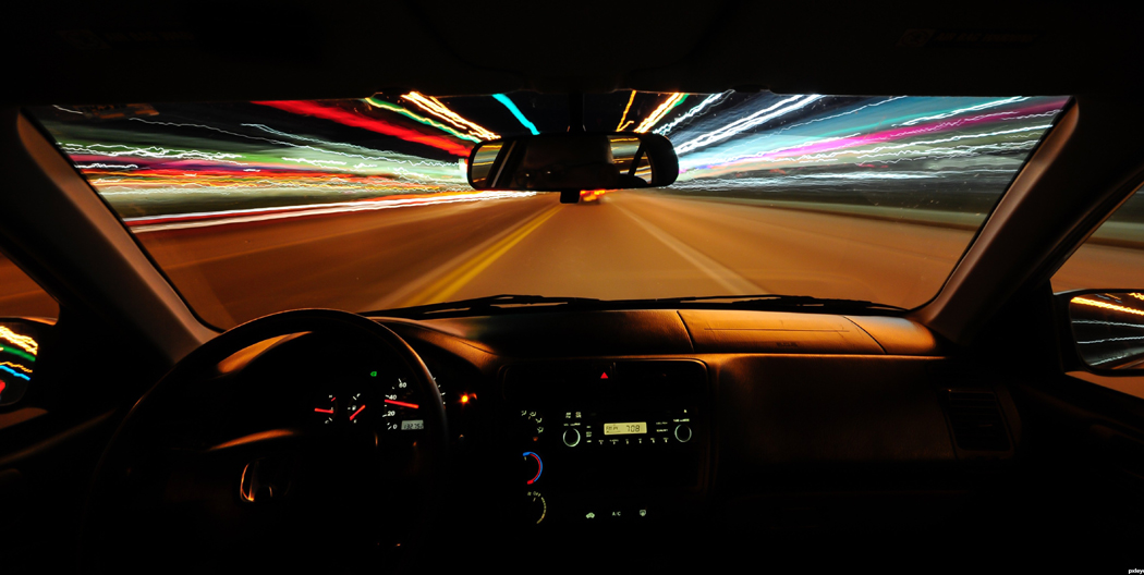
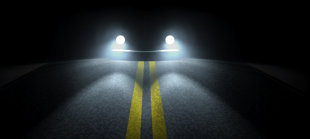
And it is because I have become a centaur. In a car, I am the ghost in the machine. We merge to become one single entity — a car-centaur. I extend my sense of self from bumper to bumper. Proprioception is the sense we have of our bodies and their shape and location in the world. I can feel where my feet end, where the top of my head is. I can twiddle my thumbs with my eyes closed. I have a clear sense of where my body extends.
In the driver’s seat, that sense expands to encompass a larger whole: The car is as much a part of me as my knees or my fingertips. We have become mechano-organic. My foot on the clutch and my hand on the gearshift is like breathing, natural and fluid.
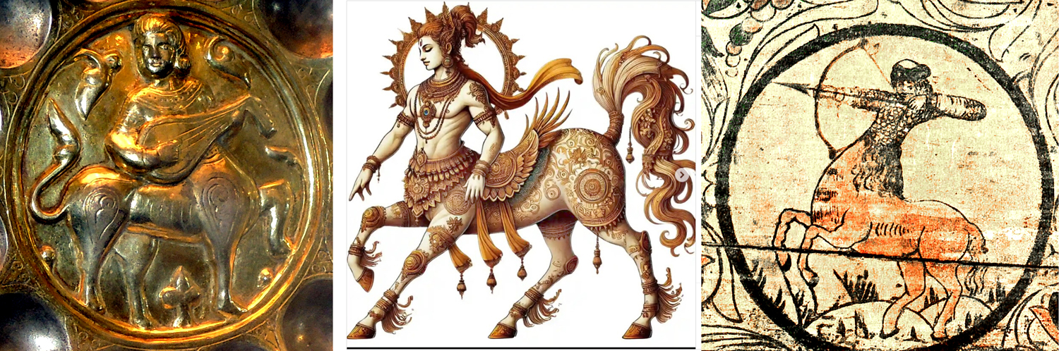
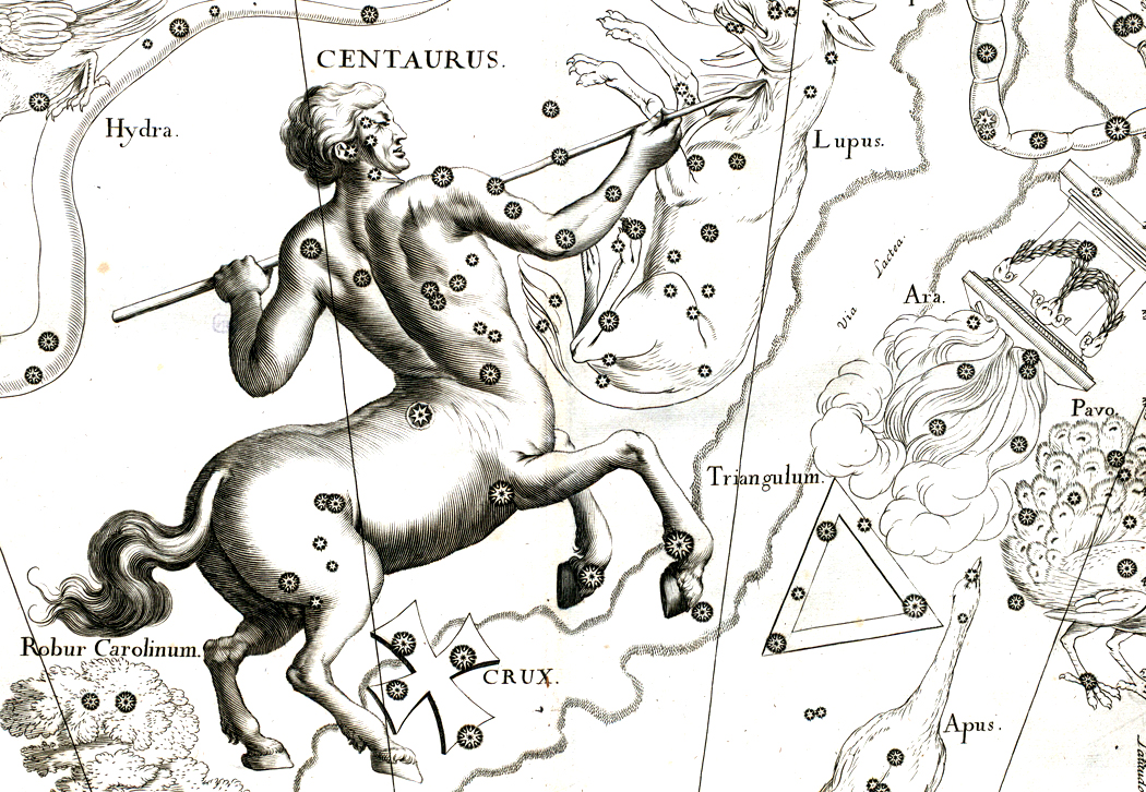
Byzantine gold cup; Indian Kinnara; Russian Polkan
Each culture and every epoch has its hybrid mythiforms, and there are horse-men from the Hindu Kinnara written about in the Mahabharata to the Russian Polkan and the troubadour centaurs of the Byzantine Middle Ages. It seems natural that we should adopt the modern in-car-nation.