Part 2: In which certain suggestions are made
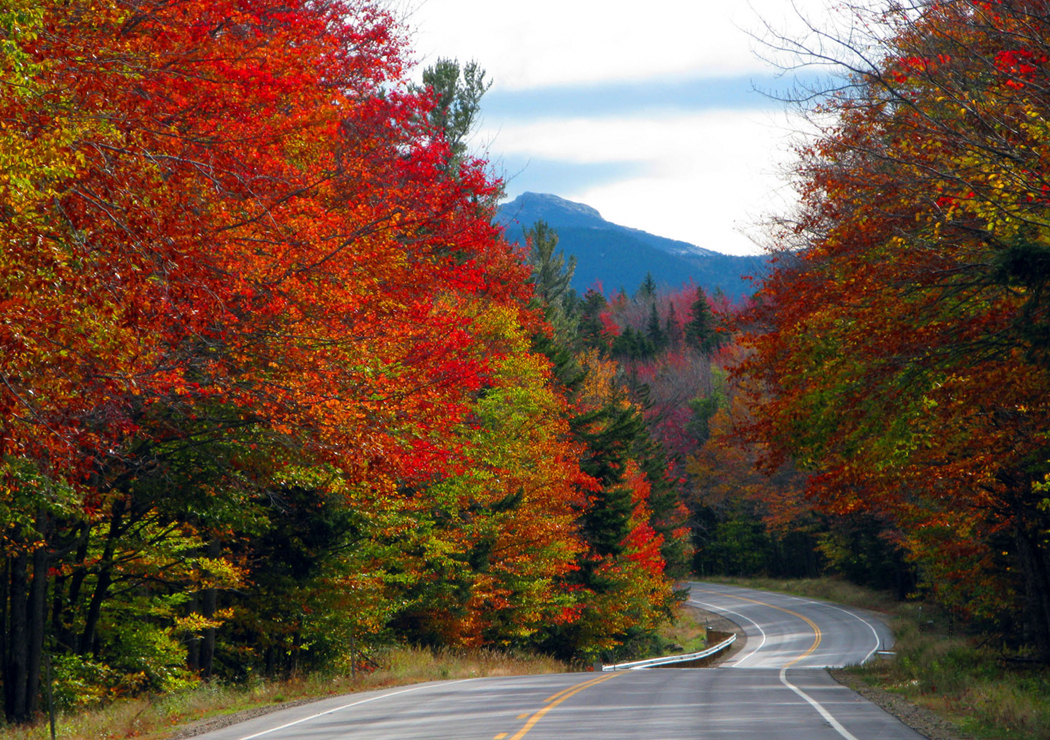
Kancamagus Highway
One of the best ways to see the wild parts of New England is via the Kancamagus Highway, which runs between Lincoln and Conway, N.H. Along its 35 miles, you pass white-water rivers, towering granite and long views from the mountain passes.
The road, which was opened only in 1968, climbs from the Pemigewasset River to Kancamagus Pass, crossing the crest at 2,850 feet and following the Swift River down the other side.
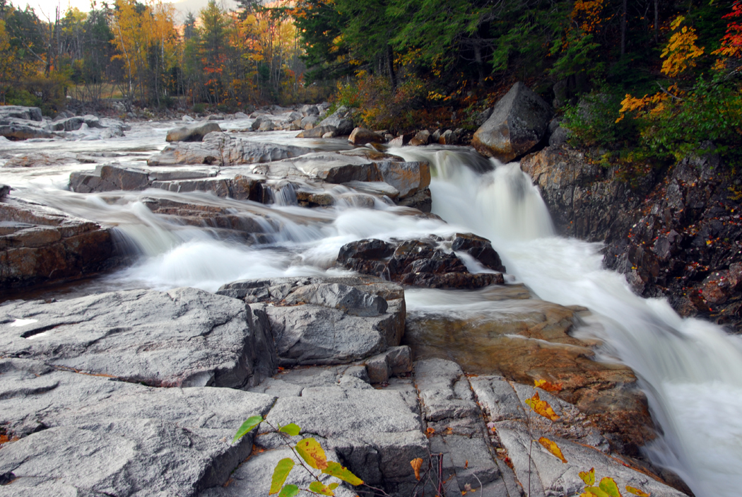
Rocky Gorge on the Swift River
Near the Bear Notch Road turnoff is the Passaconaway Historic Site, with a nature center and summer demonstrations by craft workers in period costume. In the Rocky Gorge Scenic Area are waterfalls, hiking paths and camping in the Covered Bridge Campground.
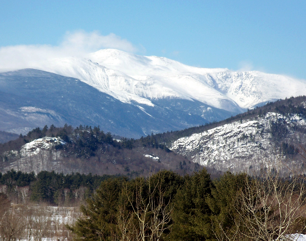
But it isn’t the only road worth taking. The road up Mount Washington is a thrill ride of declivities and chasms, bound together with the coil of roadway.
To be sure, there are three choices for getting up Mount Washington.
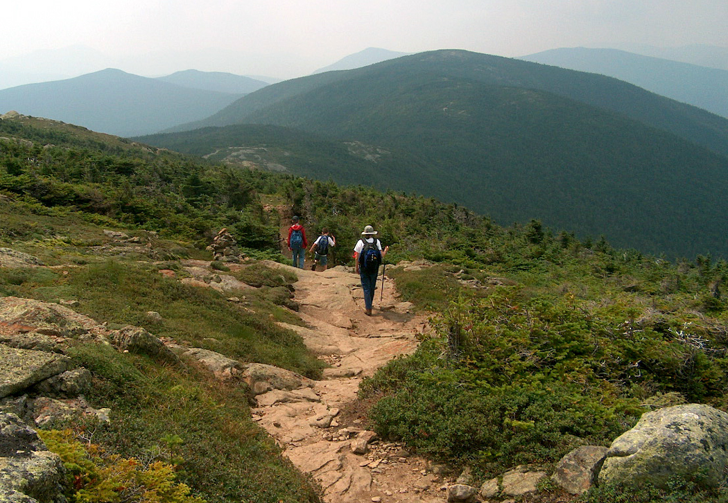
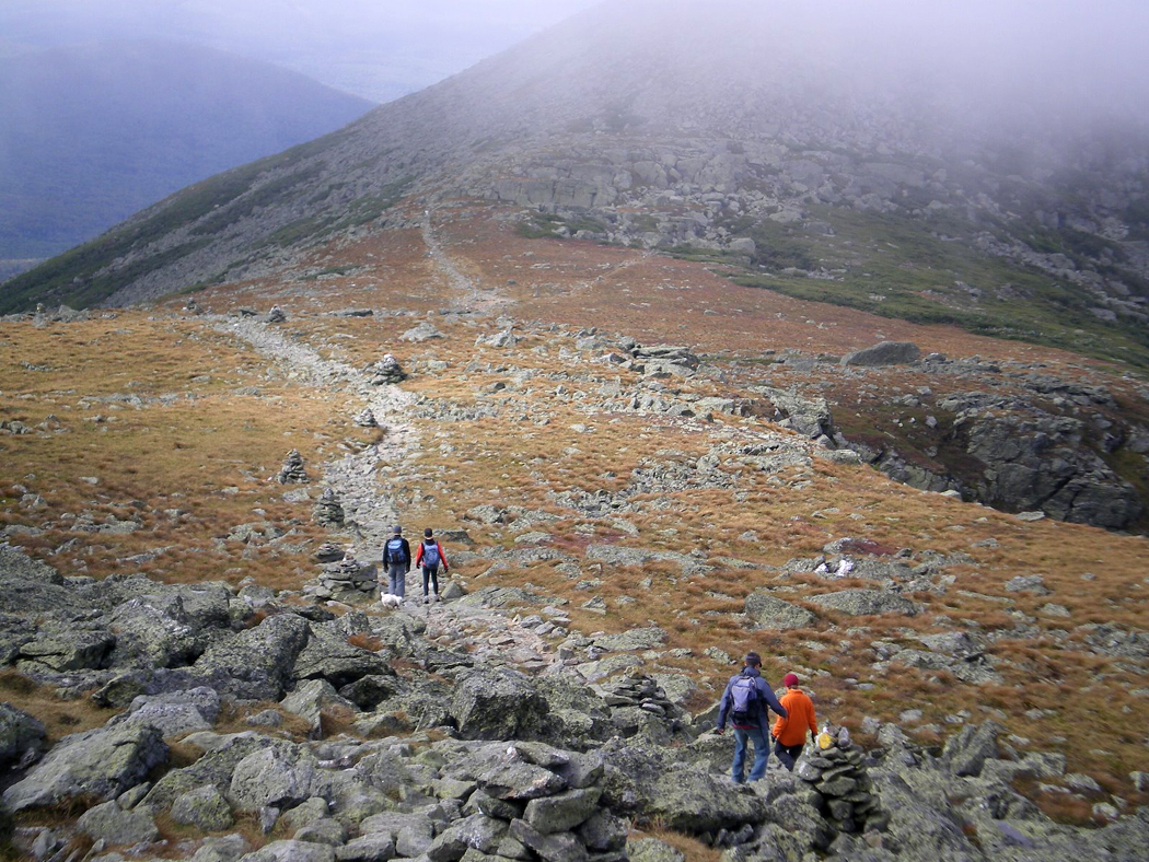
Appalachian Trail, Presidential Range
The first is to climb on foot; the Appalachian Trail winds up the rocky slopes, but it is probably too strenuous for most visitors.

Mt. Washington Auto Road, with cog railway tracks in foreground.
The second choice is to drive up the Mount Washington Auto Road, opened in 1861. It is a harem-scarem eight-mile drive that averages 12 percent grades and snakes around hairpin turns, and when you get back down, you probably will buy the popular bumper sticker that reads ”I survived the Mt. Washington Auto Road.” 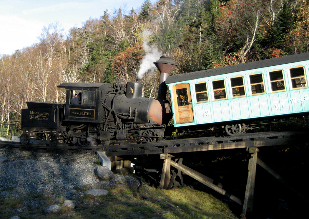
The easiest way up is the Mount Washington Cog Railway, which climbs the other side of the mountain from Crawford Notch. The 3 1/2-mile trip, which climbs grades up to 37 percent, takes a little longer, but is great fun.
Both road and rail have what may seem ”steep” admission prices.
The New England states are small, but each offers something for the traveler.
In Vermont, the countryside itself is reason to visit, and just about anywhere you go is scenic, though more gentle than New Hampshire. Popular tourist stops include Queechee Gorge, Woodstock and Weston, all of which are filled with places to separate the tourist from his money.

Ben and Jerry factory
For some people, the most magnetic draw of the state will be Ben and Jerry’s Ice Cream Factory in Waterbury, with half-hour tours and samples. It is now the No. 1 tourist attraction in the state.
The Massachusetts portion of the Appalachians highlights Mount Greylock and the Berkshires. But there is also historic Stockbridge and its Norman Rockwell Museum — and, if you can find it, the former Alice’s Restaurant.

Arrowhead
Author Herman Melville wrote several short stories about the Berkshire Mountains, and you can visit his home, Arrowhead, in Pittsfield, where his notorious “piazza” on the north side of his home, looks out on Mt. Greylock — “Charlemagne among his peers.”
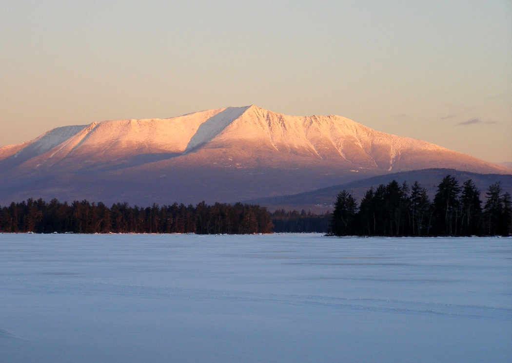
And in Maine, Baxter State Park is a treasure. A few nights in a wood-heated cabin beside Daicey Pond, under the shadow of Mount Katahdin, will fix what ails you and set the universe right.
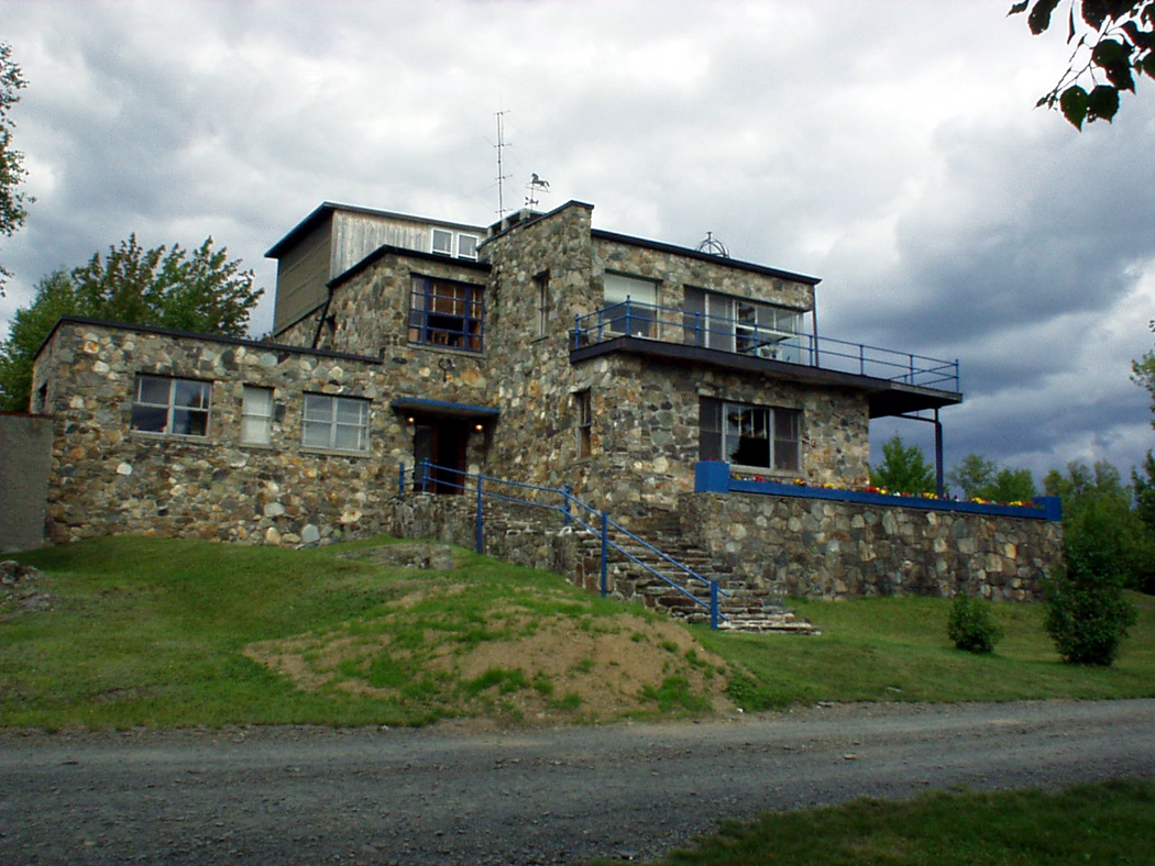
Reich Museum
But if that doesn’t work, try the Wilhelm Reich Museum, in Rangely, which its tenant called his ”Orgone Energy Observatory.” In a nutshell, so to speak, Reich believed that you could use great sex to make it rain.
NEXT: Cool Calvin Coolidge