Part 4: In which we enter the landscape of the mind

Each of the United States has its own flavor, its own existence as myth. It is the sense one has, if one does not live in that state, but imagines what it would be like to visit.
One imagines what Arizona must be like, with its cowboys and cactus, but the reality of Phoenix — “Cleveland in the Desert” — negates that myth. That is the nature of myth.
Some states have bigger personae. California, for instance, which existed as myth both for “Forty-Niners” and for Okies. Montana offers big skies and clean air. Oregon had its trail and Mississippi has its Yoknapatawpha County.
Texas claims for itself the largest myth, although it is hard to warrant such big ideas if you have actually been to Midland or Odessa. Texas is only big in hectares. Otherwise, it is the state of large hats as substitutes for small manhood.
Each state has its mythic presence, although it is hard to make the case for Delaware as anything but the “gateway to New Jersey,” and the Garden State gains any resonance it has only from Tony Soprano and Bruce Springsteen.
But one state led all the rest historically in this landscape of the mind, as a special place in the American imagination, a place you dream about when you think your daily life is too mundane.

Lubec
Historically, the state that has had the longest claim on the American spirit is Maine, with its deep woods and rocky coast, its taciturn, independent people and its echoing loons. Maine is the original great escape, the place to go to return to nature and feel what it is like canoeing across a backwoods lake with a mist rising from the water.
Maine is the place Henry David Thoreau went when his Walden Pond seemed too citified. Maine is the place that dozens of American artists went to find some glimmer of inspiring wilderness.
It’s also the place the 19th-century robber barons went for summer vacations.
As America has expanded westward, Maine has lost some of its magic, but it is still a mythical place, drawing millions of visitors every year.
But there isn’t a single Maine. Regionally, there are at least four Maines.
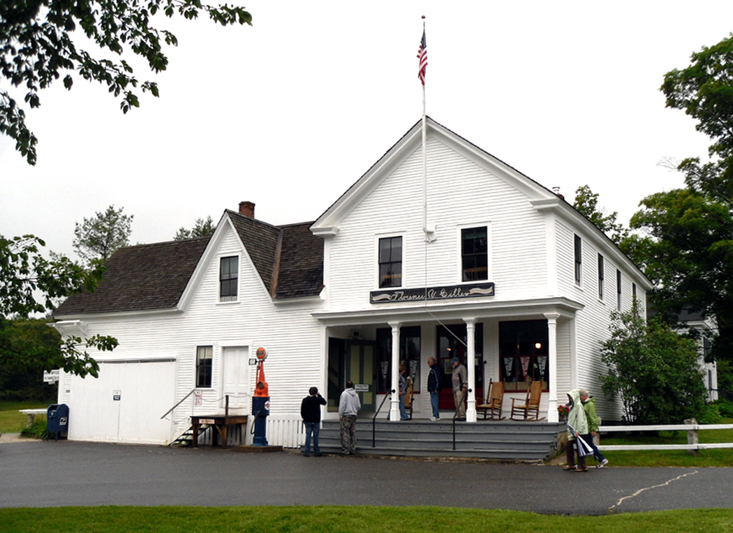
The first is the southern coast, which first attracted a wealthy clientele a hundred years ago. This is where old money came for the summer. It is where former President George H.W. Bush had his place in Kennebunkport. It is also home to the new Yuppie tourism centers on Penobscot Bay, where you can always get a good brioche: Camden and Rockport. They are not much different, in their way, from Carmel, Calif., or Sedona, Ariz. — all trendy shops and new museums. You visit L.L. Bean in Freeport, and see a hundred other factory outlet stores.

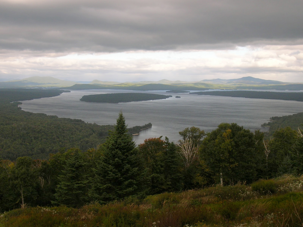
Mooselookmeguntic Lake
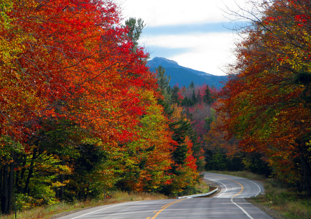
Then, there is the mountainous Maine of the western part of the state with its thousand lakes, from Rangeley Lake to Mooselookmegunticook. This is the part of Maine famous for its out-of-place town names: Mexico, Norway, Paris. It is a place to go for fishing and camping or renting a cabin for a week.
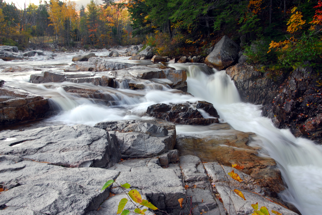
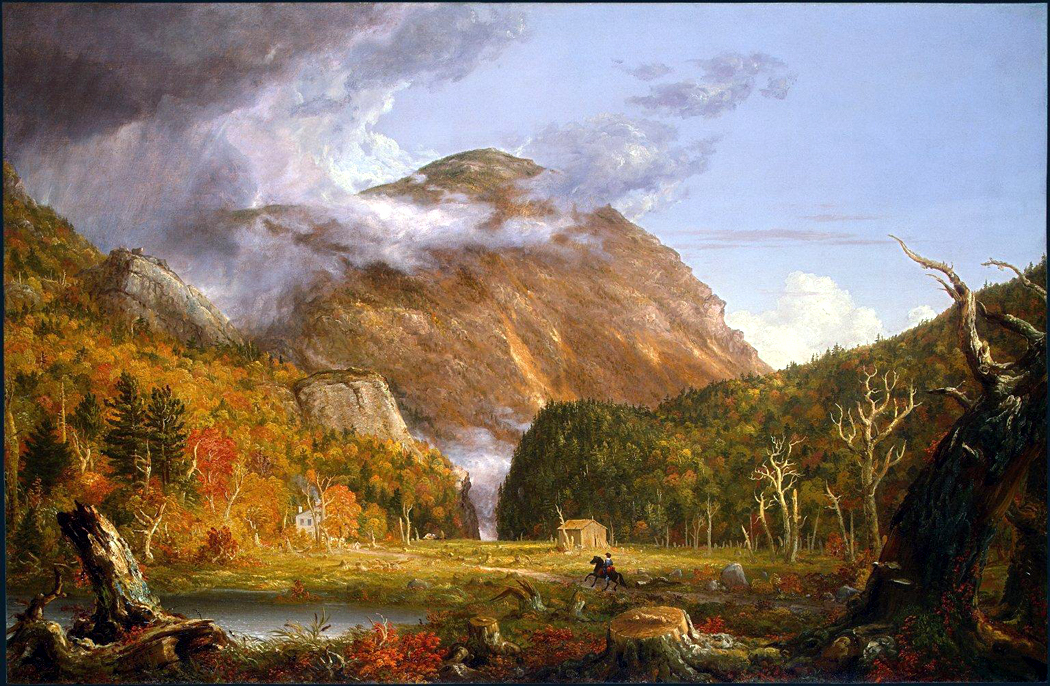
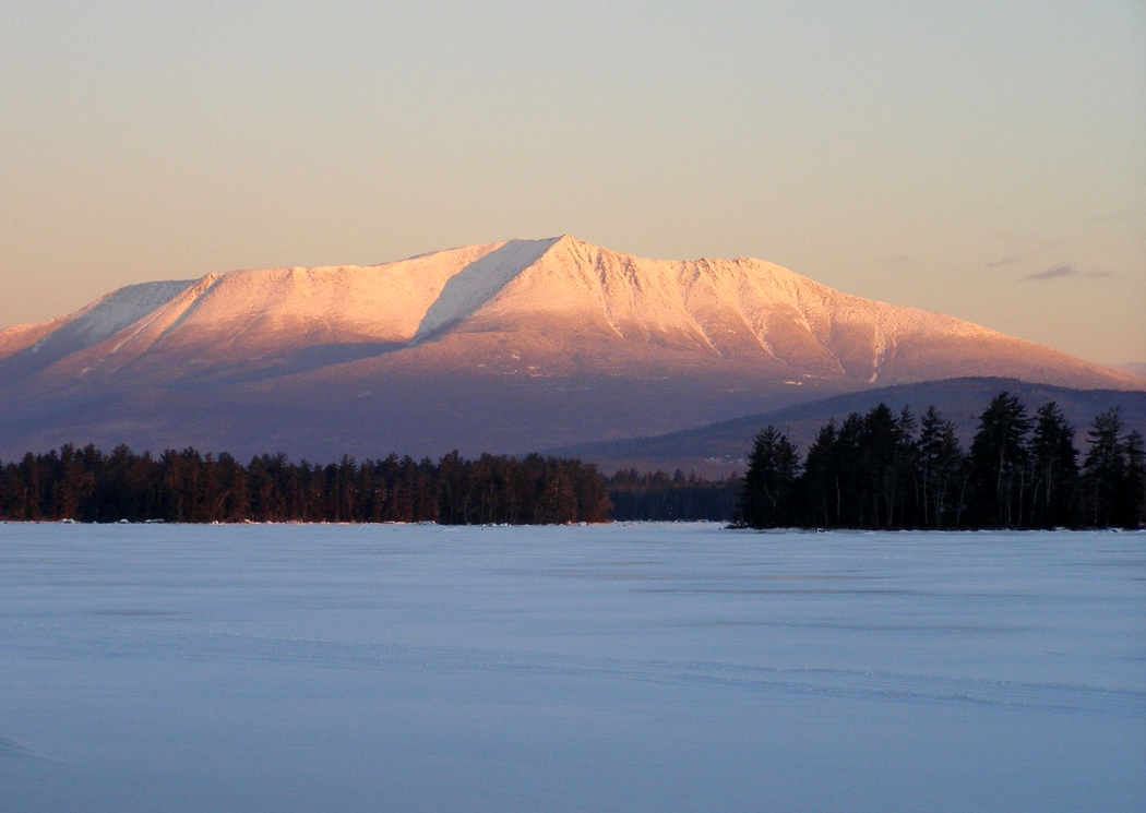
The large northern part of the state is especially impressive. Vast tracts of woodland crisscrossed by narrow logging roads down which rumble the most frightening, earthshaking pulpwood trucks, piled high and tenuously with rattling bundles of spruce trunks. It is the north of Baxter State Park and Mount Katahdin. This is the Maine that Thoreau wrote about in his book, The Maine Woods. It is also the part of the state, on its eastern side, where they grow potatoes.
But it is the fourth Maine that I love the most: the upper coast, from Mount Desert Island to the Canadian border.
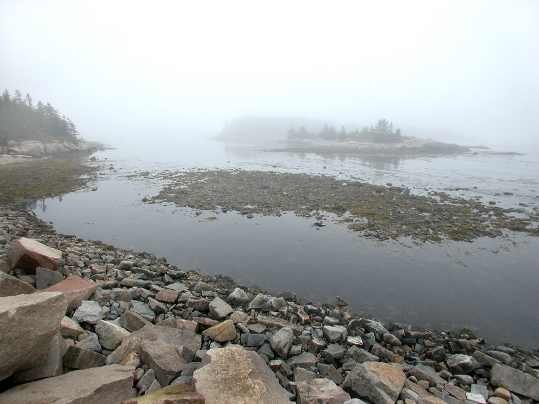
This is Down East. It is the least touched by commercialism. It is still composed of blue-collar working towns where men go out to fish or pull lobsters from the rocky-bottomed sea. It is old wooden houses on granite foundations and cars rusted out from wet, salty winters.

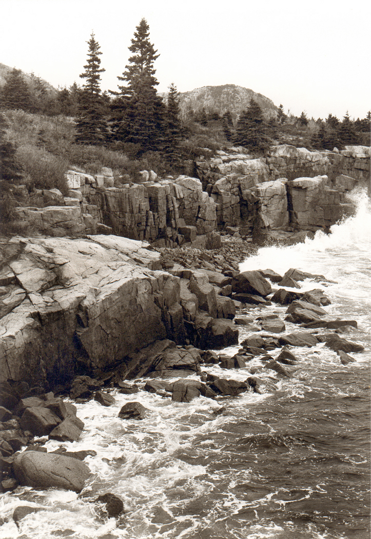
Otter Cove, Acadia NP
It is called Down East because when 19th-century sailing packets traveled up the coast from Boston, they sailed downwind, with the prevailing breezes abaft. Back then, Maine was still part of Massachusetts. Maine owes its statehood to slavery: The Missouri Compromise of 1820 let the slave state Missouri enter the union, but separated Maine from Massachusetts and entered it as a state at the same time to keep a balance of free and slave states in Congress.
The coast of Maine is about 250 miles long, as the crow flies, but it must have been a very drunken crow that first flew the distance. With all the bays and headlands, the actual distance of that zig-zag coastline is closer to 3,000 miles. And that’s not counting the islands, thousands of them.
Mount Desert Island is the largest of them. It is properly pronounced Mount “Dessert,” as if it were filled with chocolate moose, but most people just call it MDI and be done with it. MDI is the home of Acadia National Park, one of the most beautiful in America.

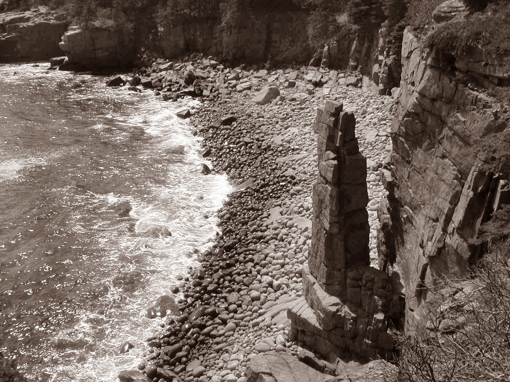
Monument Cove, Acadia NP
It is also the home of Bar Harbor, one of the most congested towns. In the summer, Bar Harbor is a vacation nightmare, with no parking, crowded restaurants and no room at the inn.
Acadia National Park covers about half the island and includes Cadillac Mountain, the tallest mountain on the East Coast north of Rio de Janeiro. At 1,530 feet, it catches the first rays of sunlight to hit the U.S. each day.
A road to the top provides splendid views.
But it is the view of Cadillac Mountain, rather than the view from it that is best. And the best views are from the coast roads that continue farther down east.
The real Down East begins beyond MDI. From Ellsworth — which may look like one unending K mart and KFC — you drive east and north on U.S. 1 and you leave all the tourists and development behind.

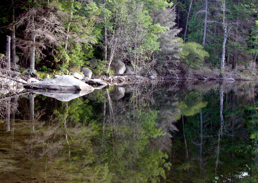
Fox Lake
The towns you pass are small and picturesque: Sullivan, Gouldsboro, Sorrento, Winter Harbor, Jonesport. You see tall church steeples and town squares with bronze statues of World War I soldiers.
This is Maine for the traveler rather than the tourist. You won’t find many fancy restaurants, and the motels are all low-dollar. Look instead for breakfast in the local lunch counter with the lobstermen. There are no “destination locations.” You have to be interested in the place for itself, and not for an amusement park.
If you are looking to get away from it all, Down East is the definition of the phrase.

Machias
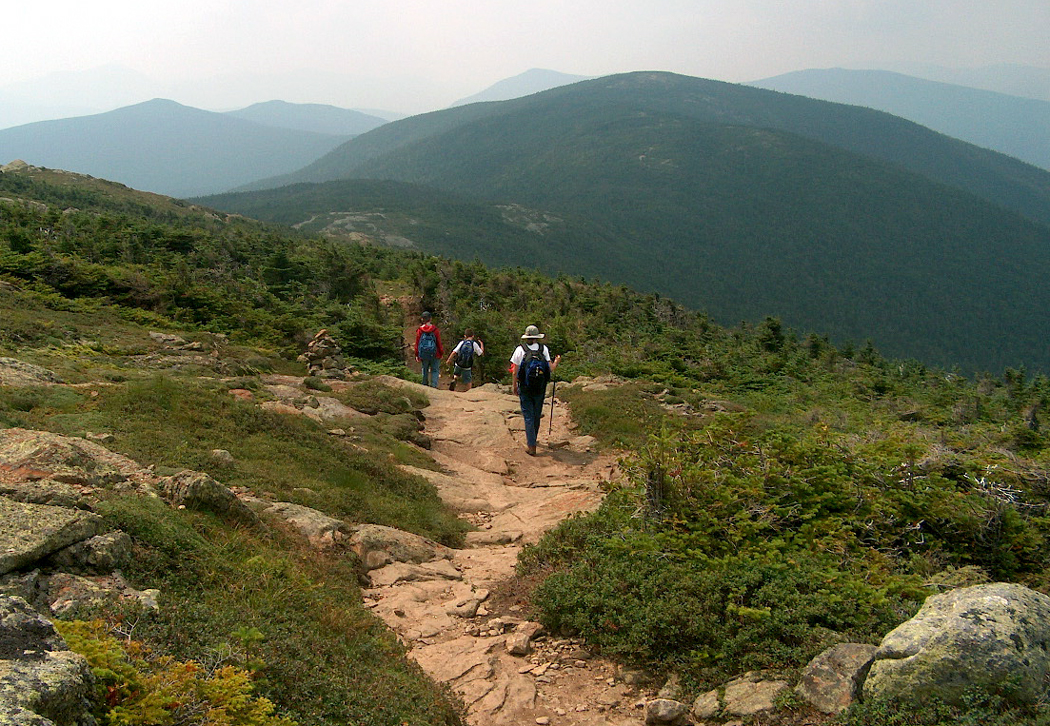
There are mountains to be climbed, woods to be hiked, lakes to be canoed. There are heaths to be gleaned of their blueberries and birds to scout out and listen to.

Blueberry heath
If you hike in the woods behind Sullivan, off Taunton Bay, you will find the abandoned granite quarries that used to provide curbstones for the cities of the East Coast.
Climb 1,069-foot Schoodic Mountain for the panoramic view. Or if that is too high, try 397-foot Tucker Mountain. A walk through the birches and alders will bring you to a splendid view of Frenchman Bay and Cadillac Mountain.

Schoodic Point, Acadia NP
From Gouldsboro, head south to Schoodic Point, which is part of Acadia, but without the crowds. The waves boom on the rocks and a cold ocean separates you from Cadillac in the west. If there is one perfect place to visit Down East, Schoodic Point is it.

Quoddy Head Lighthouse
Or take the narrow road south of Lubec and you will come to the West Quoddy Head lighthouse, the easternmost point in the U.S. Out on the horizon you will see Canada’s Grand Manan Island. It might as well be China.
Take a look at any map of the eastern bump of Maine and see how the web of roads thin out. Hancock and Washington counties are nearly unpaved. It is empty. It is beautiful. It is the real Maine.
NEXT: Maine redux