I’m now 78 and I’ve done a few things in my life. Probably most people have. Things they can list that few others have managed. Places visited; people who have impacted their lives; adventures to recount to grandchildren.
And so I think back to recount my own experiences, those particular to my own past. Maybe others have similar lists. This is mine.
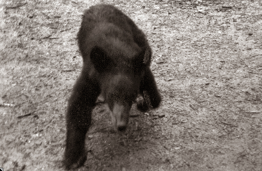
I’ve been charged by a bear, for instance. How many people can say that? I was hiking the Appalachian Trail in Smoky Mountain National Park with a few friends. By late afternoon, we reached a lean-to shelter and I walked out onto the path with my camera, when a black bear — maybe two or three years old — crossed the trail about 30 feet from me, spotted me, didn’t like what he saw and turned and charged at me. He was no more than five feet away when he veered off to my right and chugged off into the woods. I was stupid enough that while he came at me, instead of running back to the shelter, I took photos, so at least now, I have the evidence. If it’s a tad fuzzy, I’m sure you can understand.
Certainly the bear makes my list. But I tried remembering other things that would make the list of things peculiar to my life, that few people are unlikely to have shared.
Almost no one now crosses the Atlantic on an ocean liner. I did, in 1966 aboard the MS Oslofjord from New York to Norway, when I accompanied my grandmother to the Old Country where she was born. I was a high-school student at the time, and I remember standing on the ship’s deck watching the Orkney Island lights at midnight, bright points on the black horizon as we sailed past.
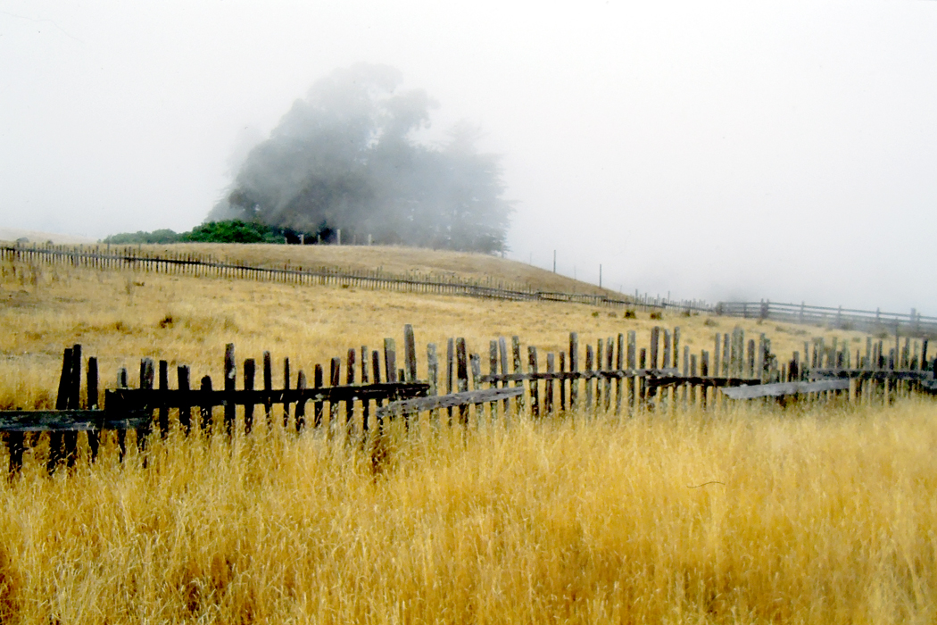
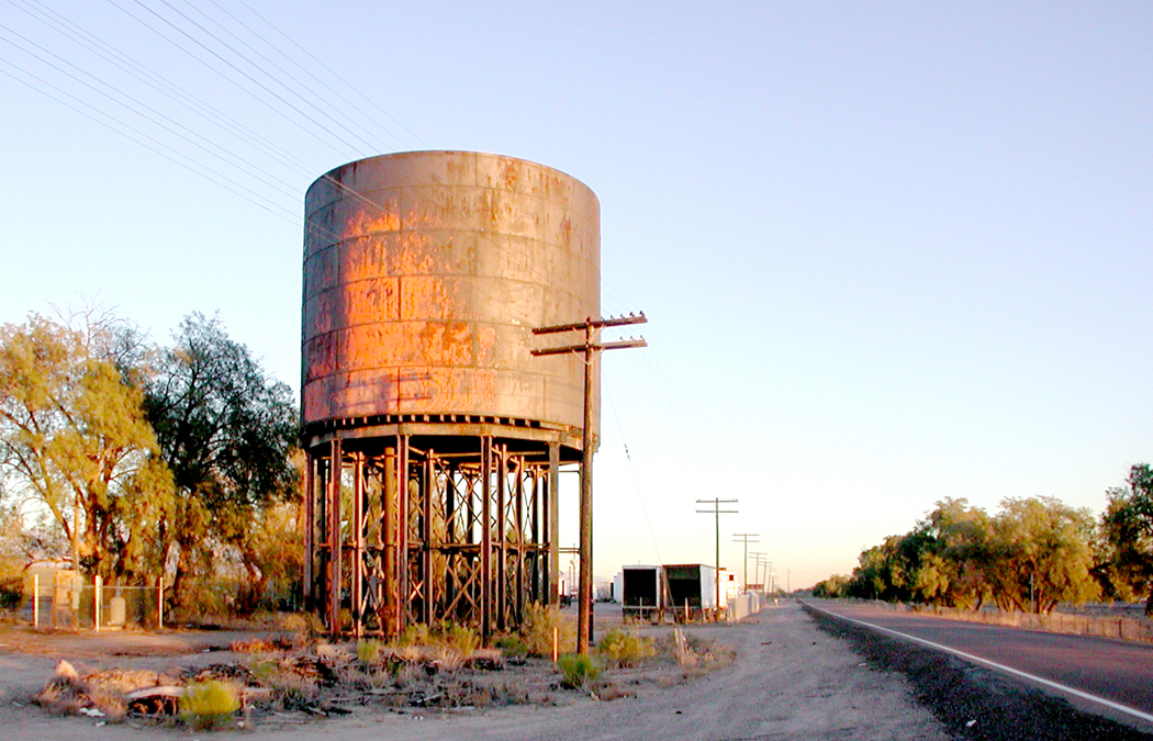
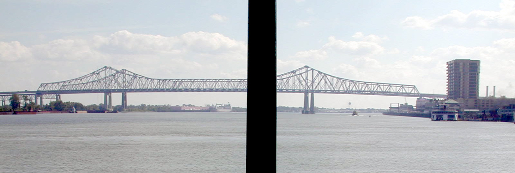
There’s a lot of travel in my past. I’ve crossed the U.S. twice by train. Once when I moved from North Carolina to Seattle, taking the Southern Crescent from Greensboro to New York, the Twentieth Century Limited from NY to Chicago and the Empire Builder from Chicago to Seattle.
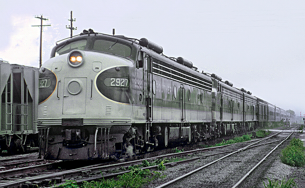
The Southern Crescent
I recall the dreamlike lights of Toledo factories as we passed after midnight; the 10-below zero air when I stretched my legs at the station in Minneapolis; the vast empty spaces between farmhouses in South Dakota; and the track-side elk watching the train pass by near Yakima, Wash.
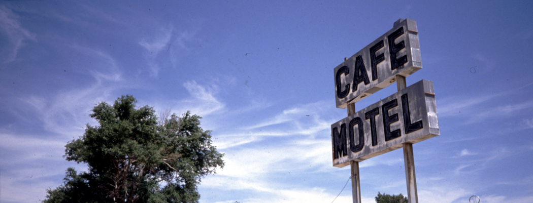
The second time was more luxurious: Working for the Phoenix newspaper, I was assigned to write a story about the then newly-launched Sunset Limited route from LA to Miami that passed through Phoenix, bringing the first rail service to the city in decades.
The paper flew me to Los Angeles where I boarded, and flew me back from Miami when finished. In between, I had a sleeper compartment and ate my meals in the dining car, which Amtrak had fitted out initially with a first-class galley and real chefs. That didn’t last long after my trip, before cost-cutting turned steak into saran-wrapped bologna sandwiches.
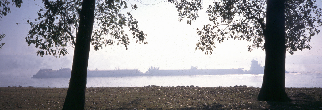
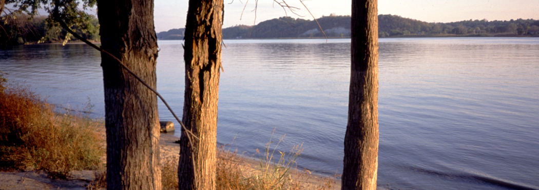
Mississippi at Cairo, Ill.
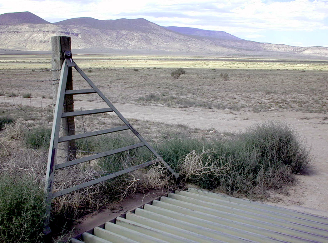
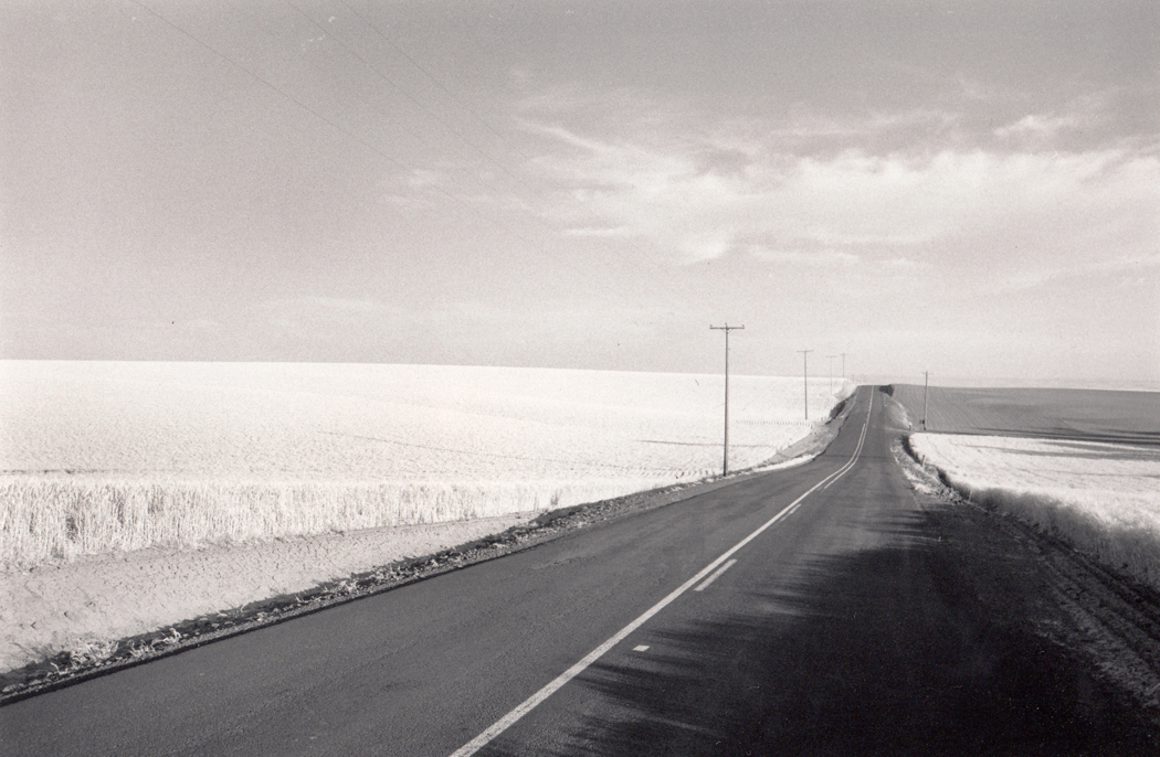
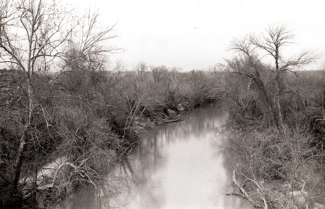
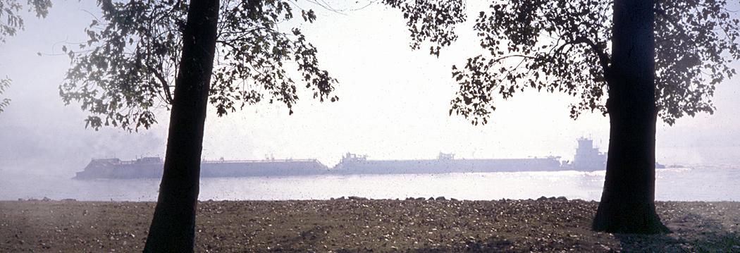
One of my beats at the newspaper was as a travel writer and I got to choose many of my subjects. I have driven the length of the Mississippi River from its source at Lake Itasca in Minnesota to its end in the Gulf of Mexico. So, I’m one of the few people who have ever visited Cairo, Ill., which is a largely deserted town, at the tip of the state where the Ohio River pairs with the grandfather of all American waters.
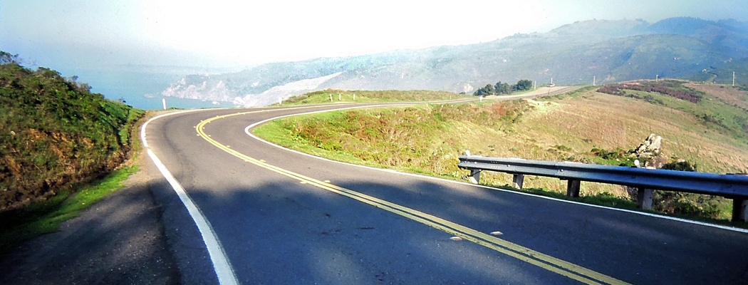
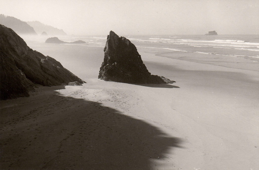
I have also driven the Pacific Coast Highway from Tijuana, Mexico to Vancouver, British Columbia. And as part of that trip, I got to stop off at Point Roberts, that tiny exclave of the U.S. that can only be reached overland by driving through parts of Canada. Virtually nobody visits there, because there is nothing to be seen or done, and the only reason to go there is to be able to say you had done so.
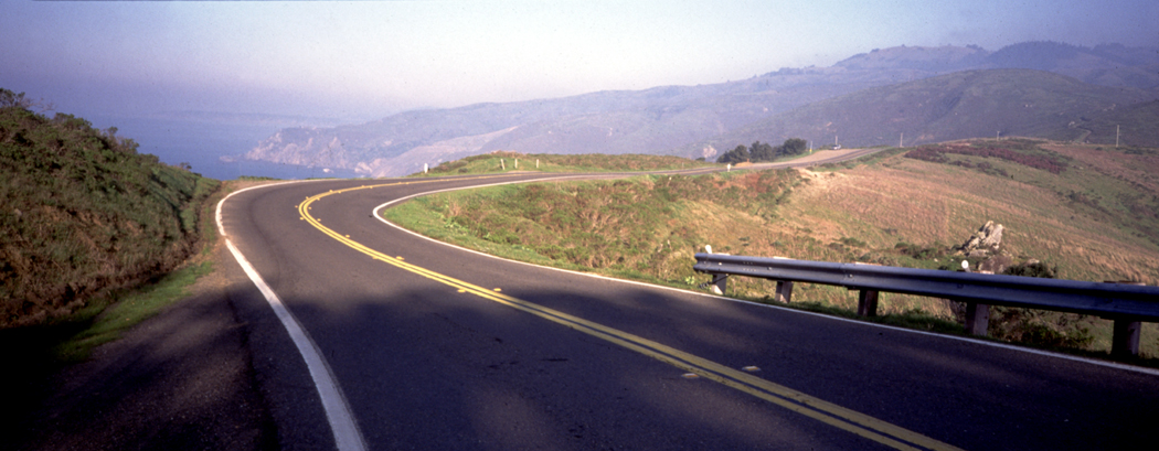
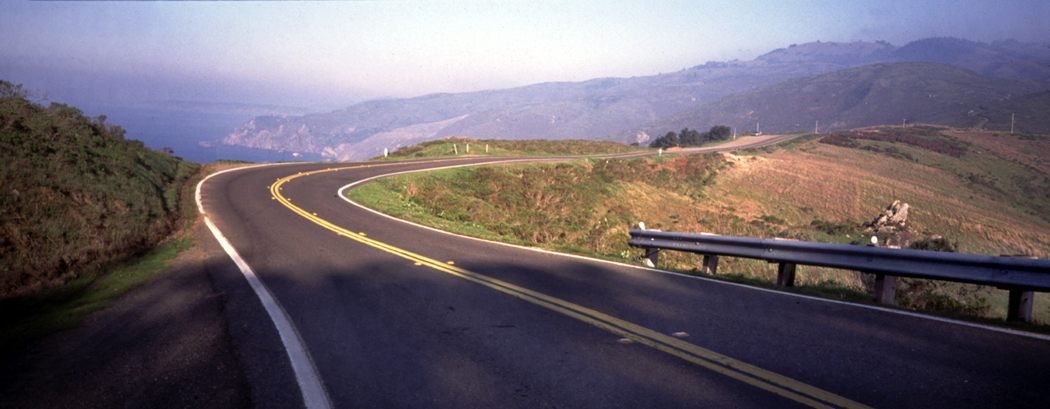
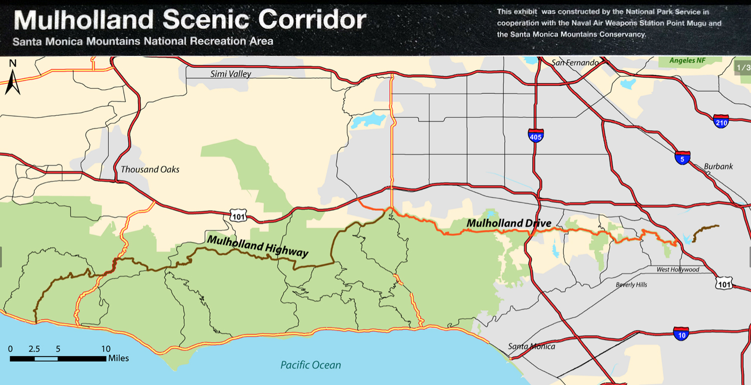
Back before the wilder parts of the road were closed to traffic, I drove the length of Mulholland Drive and Highway, across the crest of the Santa Monica Mountains, from its beginning at the Hollywood Freeway over Cahuenga Pass, past all the film stars’ extravagant homes into the brushland wilderness, with its dirt roads, and finally down to the Pacific Coast Highway at Leo Carillo State Beach, some 55 miles later.
I pitched a story to my editor about the Hundredth Meridian that traditionally divided the East of the country from the West — the line that separated the land that got more than 20 inches of rain per year, from that which got under that amount. I drove from Laredo, Texas to the Canadian border, writing stories the whole way. And when I got back, I conspired with a page designer to take over an entire Sunday travel section with my pieces — all without telling my editor. “If you had told me, I would never have permitted it,” she said. “But I’m glad you did it. I looks great.” Easier to ask forgiveness than permission.
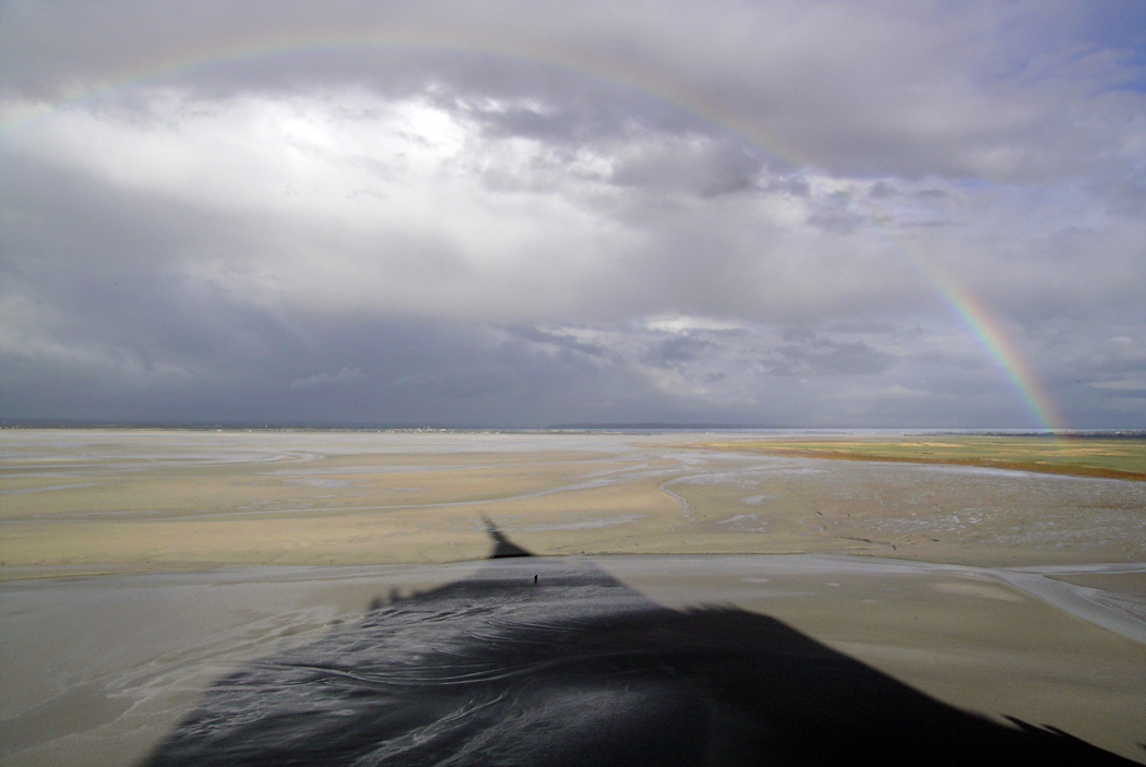
Clearing storm, Mont St. Michel
I have been many places in my life. I’ve been to Mont Saint-Michel in France, that island abbey on the coast of Normandy, where the tides come in at such a speed that anyone walking on the mud flats at low tide is in danger of drowning. I’ve been to see the Bayeux Tapestry in its current home. I’ve listened to the organist at Notre Dame de Paris play a recital of Messiaen.
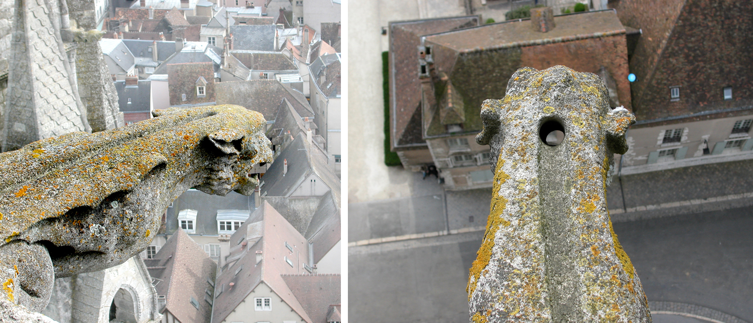
Two views of gargoyle rainspout at Chartres Cathedral
I’ve climbed to the top of Chartres Cathedral, where I could look down at the gargoyle rainwater drains and see their channels and spouts. For that matter, I’ve visited most of the major gothic churches of northern France.
I stood at night on the banks of the Rhine River in Dusseldorf, German, where the composer Robert Schumann had lived and written his deeply romantic Rhenish Symphony. The rushing current of the mile-wide river, catching moonlight in its waves, seemed the essence and power of nature.
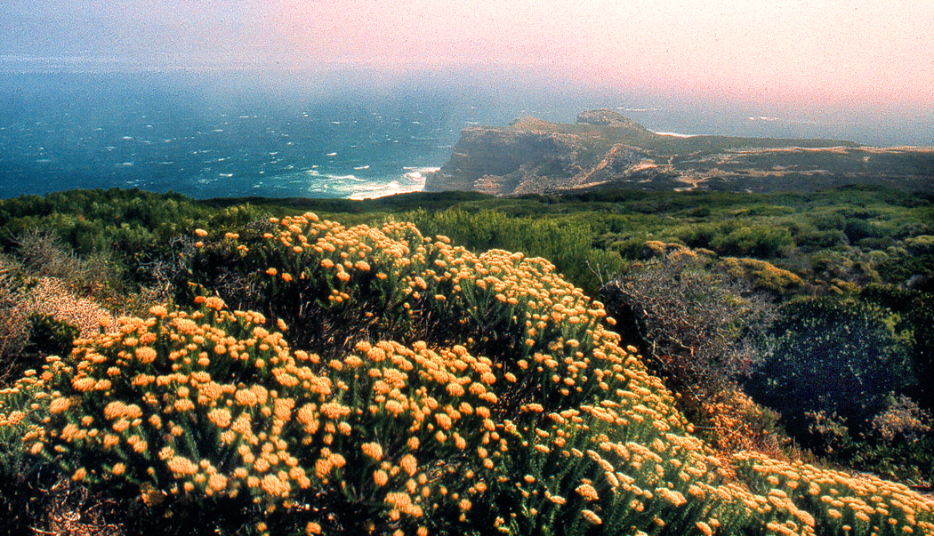
Cape of Good Hope, South Africa
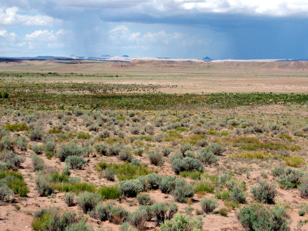
I had always had an interest in the remote and isolated places in the world, and I got to visit the Cape of Good Hope in South Africa, which is as remote and isolated as you can pretty much get. While in that country, I also got to taste grilled mopane worms. Few Americans have managed that, or would care to.
I’ve been to Hudson Bay in Canada, to Percé Rock on the Gaspe Peninsula, to Glacier Bay in Alaska, to the Yukon, and to the Cape Verde Islands (although that one hardly counts, since it was a layover on the flight to Africa; I didn’t get to see much; bragging rights only).
I have been to all 48 contiguous states many times. I used to say “I’ve been everywhere, man, I’ve been everywhere.” And indeed, I can bore my wife when watching some film on TV and I recognize locations I’ve been. “I’ve been there,” I say. She gives me the side-eye.
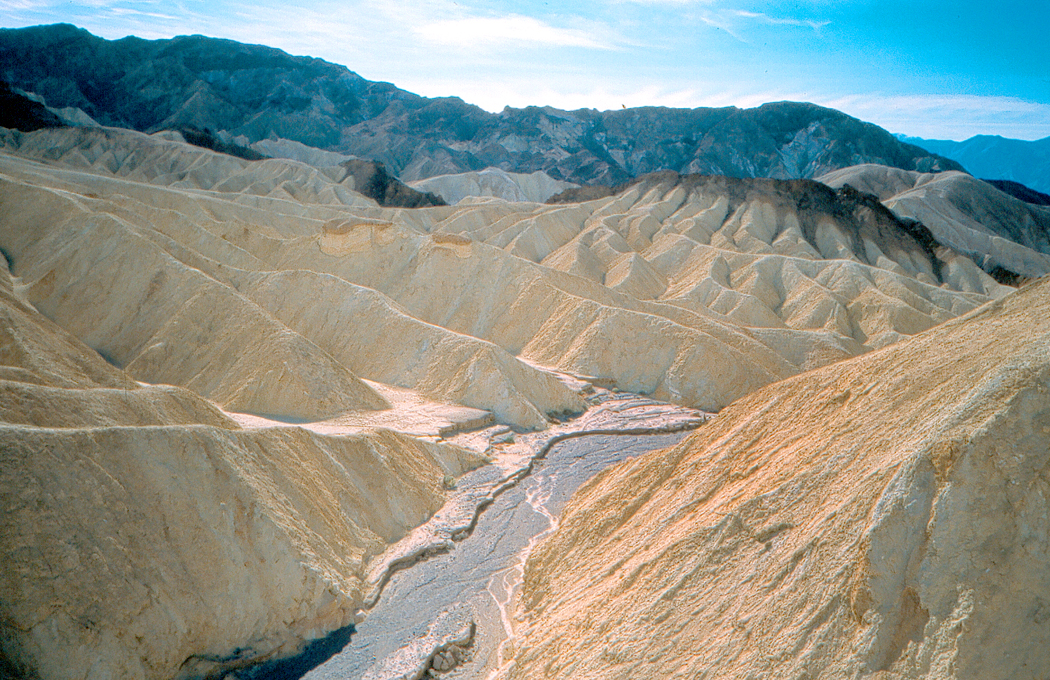
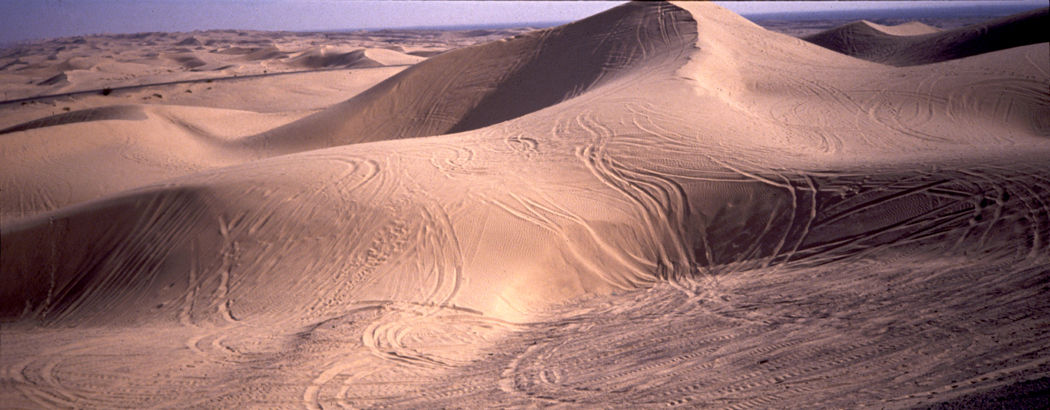
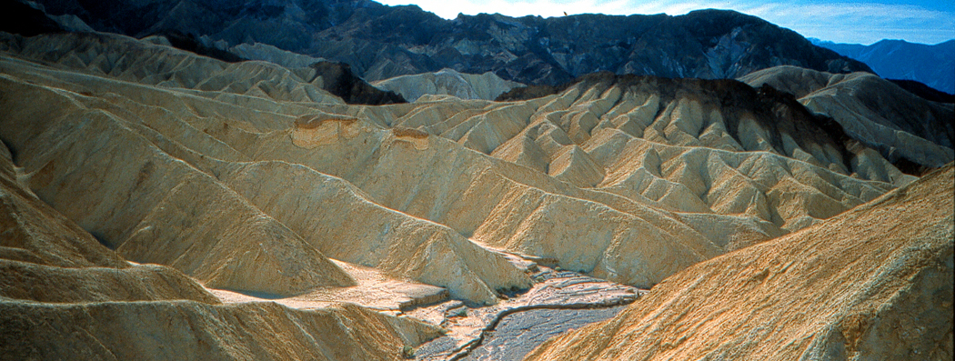
I’ve canoed with alligators in the Okefenokee Swamp. Driven through Death Valley in July in a car with no air-conditioning — nearly collapsed from dehydration and had to drink a full gallon of water to revive.
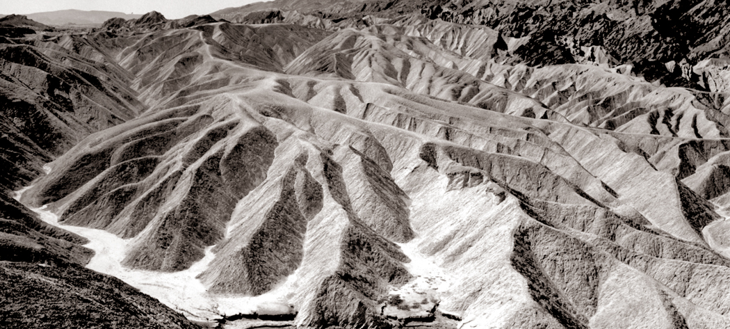
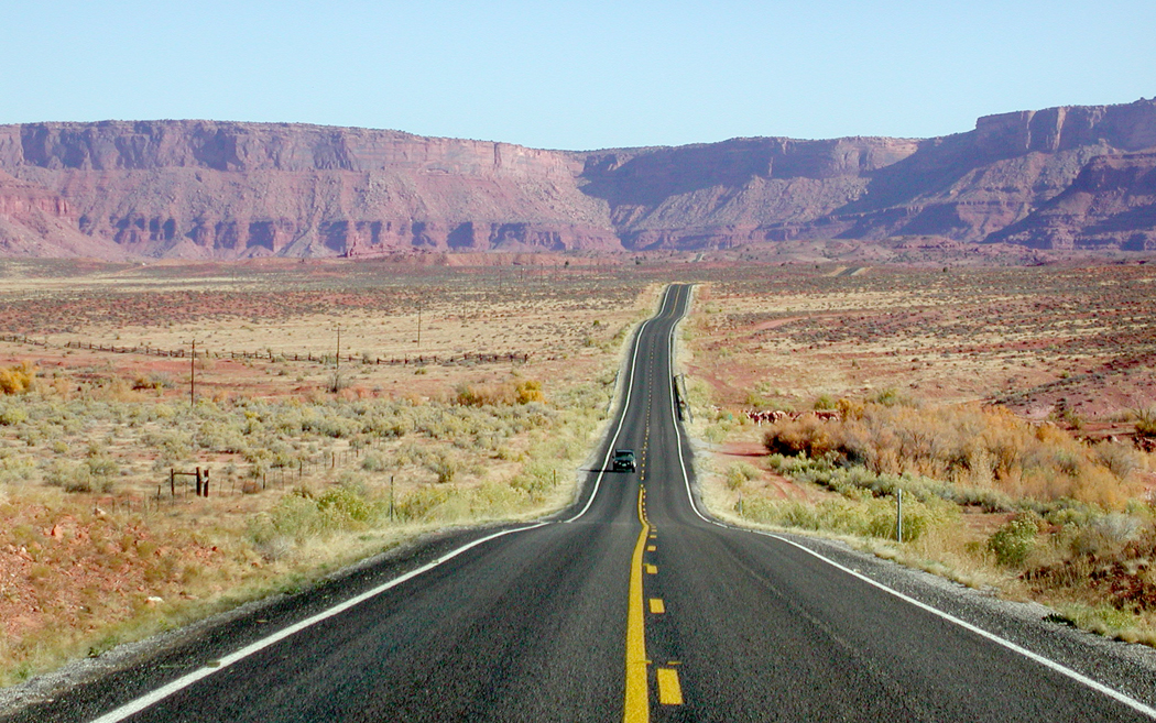
Zabriskie Point, Death Valley, Calif.
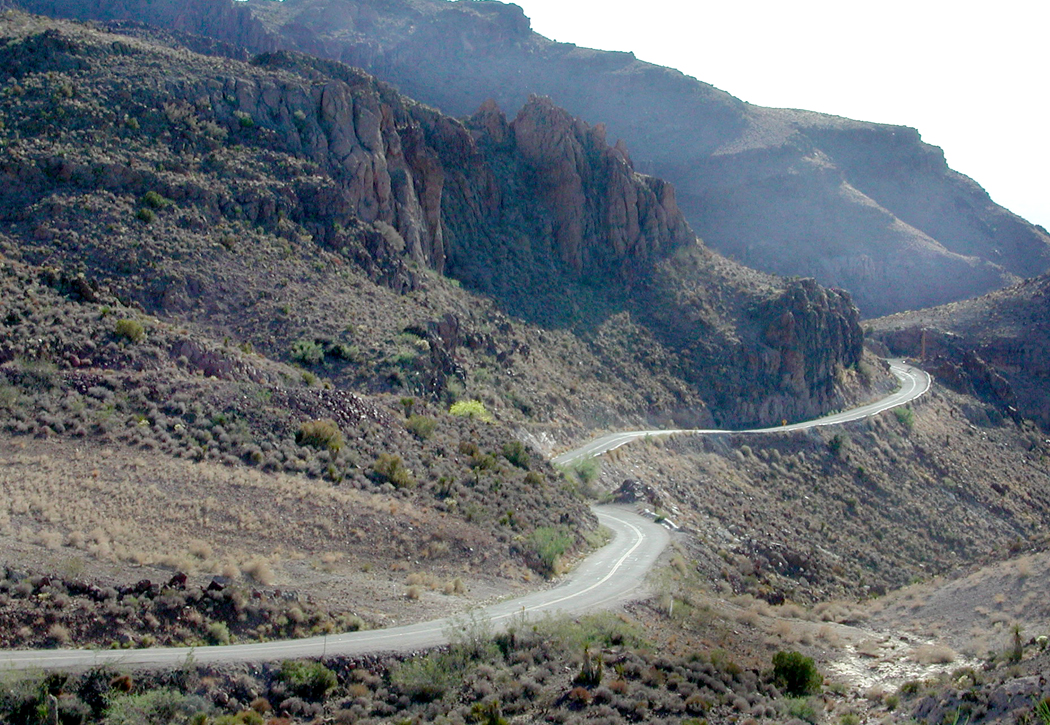
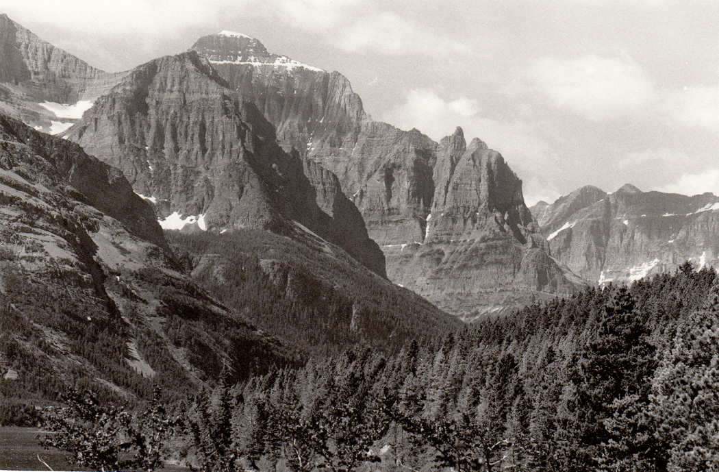
I have driven the length of the Blue Ridge Parkway I don’t know how many times, and the continuing Skyline Drive, also. There are notable roads, often over mountain peaks, such as the Going-to-the-Sun Road in Montana’s Glacier National Park, the Beartooth Highway from Montana into Wyoming (we drove in the summer, but it still snowed in flurries), the Tioga Road over the Sierra Nevada. Or the roads in the East like the Kancamagus Highway in New Hampshire, the Natchez Trace from Mississippi to Tennessee, and the Colonial Parkway that runs from Jamestown to Yorktown in Virginia. Many more with no special names.
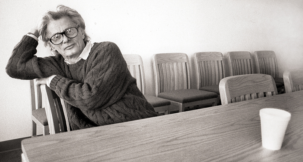
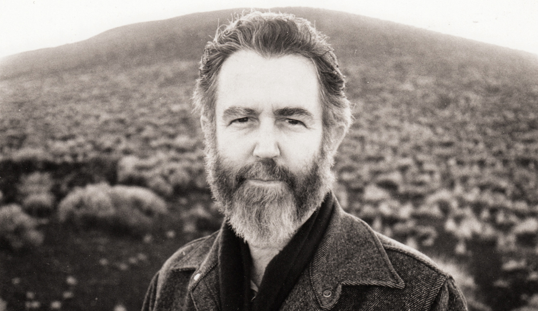
Richard Avedon
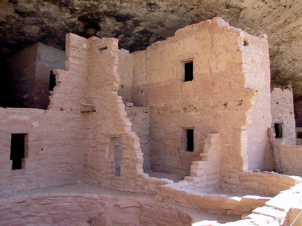
I took photographer Richard Avedon out to lunch at my favorite Salvadoran restaurant in Phoenix. I interviewed Duke Ellington’s son, Mercer, when he brought the band to play in Phoenix. I talked to him only about his own music (sure that he was tired of repeating all the chestnuts about his old man), and at the concert, he dedicated a performance of his Blue Serge to me, saying the band hadn’t played it in 20 years, but they brought it out and spiffied it up just for me. I knew Frederick Sommer, the reclusive Surrealist photographer who lived in Prescott, Ariz., and visited his home several times, where we talked about things that would have made no sense to anyone listening in.
I’ve fired guns a few times over the years, once when I was training to be a security guard (a low point in my career), and several times at black-powder gatherings. My wife had a flintlock carbine that I had the pleasure of firing. A lot of smoke and a loud, brusque “whoosh” rather than a cracking “bang,” and a .50 caliber ball blew out the barrel at the target.
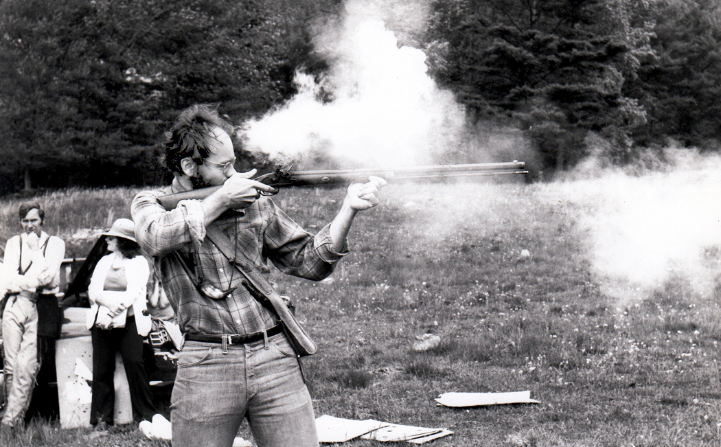
Yes, that’s me, ca. 1981
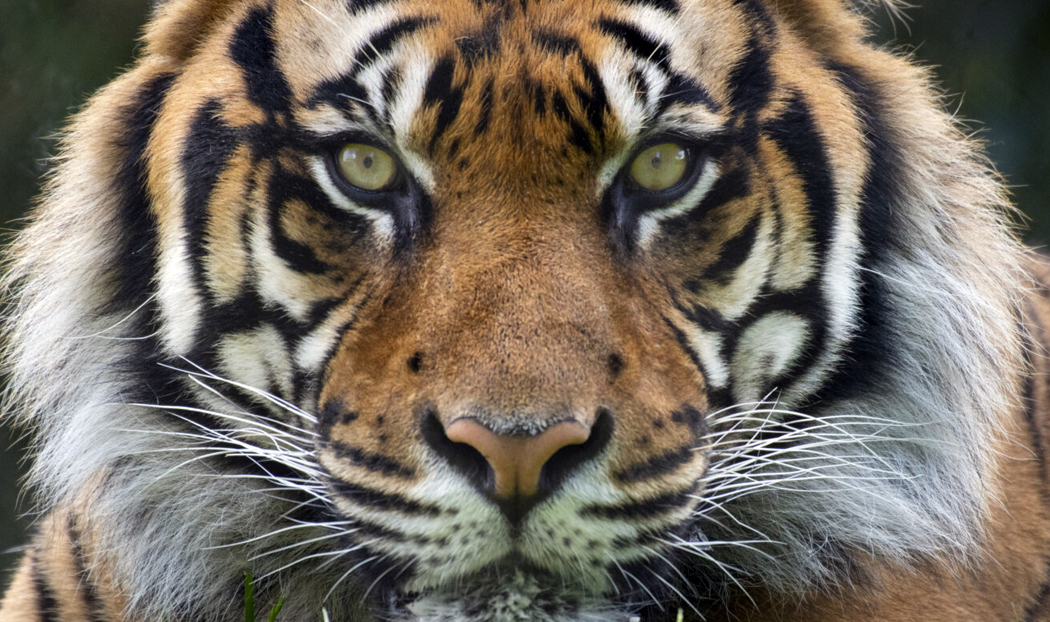
I worked at the zoo in Seattle, and most days, when the place closed for the public, I would accompany the bear keeper to the back alleys behind the exhibits and feed leftover food-stand hot dogs to the grizzly bears. We were behind the enclosure, about 20 feet above the bears. They would stand up, open their maws and we would toss the franks down their gullets. No swallowing, just straight down the chute to the stomach.
Behind them was the back entrance to the tiger cage, with a small barred door to get in when the keeper needed to clean up. When a tiger came to the door, I saw what felt like the most enormous thing I had ever seen, its giant head, bigger than my imagination could hold, and when he “purred” the ground shook. I would rank that the single most impressive thing I’ve ever encountered.
That zookeeper was my friend, and he once commented to me about the crowds, “You see all those kids, don’tcha just want to run them all over?”
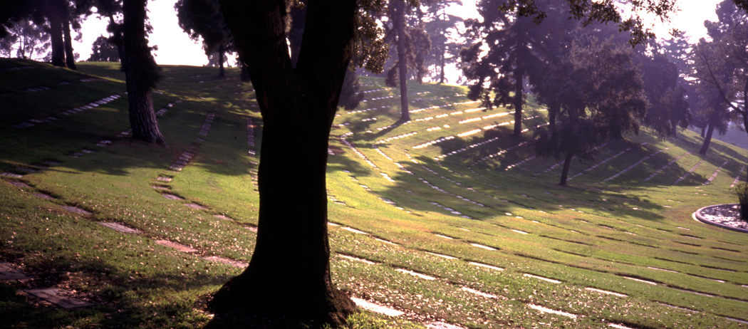
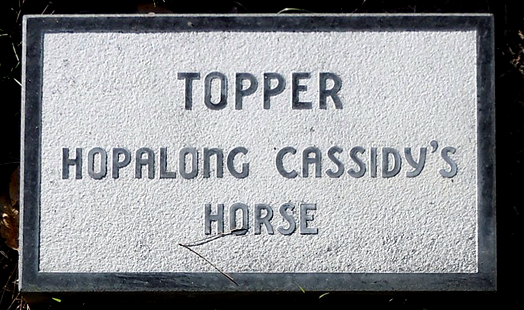
There were many more zoo stories, but most are not suitable for family reading. But more animals: I once had a six-foot boa constrictor wrapped around my neck. I visited the grave of Hopalong Cassidy’s horse, Topper, at the Los Angeles Pet Memorial Park in Calabasas, where you can also find Rudolph Valentino’s dog, Kaber, Petey, the ring-eyed dog from the “Our Gang” comedies, and Tarzan’s chimp Cheetah (real name Jiggs).
I might also mention driving to Maine in 1963 to see the total eclipse of the sun, or having crossed the equator twice, and in Africa, seeing the Southern Cross and the constellation Orion in the night sky standing on his head, with his sword pointing straight up.
Which reminds me of the night camping in the Outer Banks of North Carolina with my friend Sandro, and discovering that someone had forgotten to close and lock the door to the Hatteras lighthouse, and so we snuck in, climbed to the top, heard the roar, and watched the black surf below us catch the light.
Or the time I climbed Roden Crater in Arizona with artist James Turrell, who was reshaping the extinct volcano to make an earthwork piece of art from the mountain. We were standing at the top as the sun set. “People talk of nightfall,” he said to me. “But they should call it nightrise, like sunrise.” Because, he pointed out, the night doesn’t descend, but rises, as a mass of dark sky climbs from the horizon in the east up into the sky, eating away the dusk. You can actually see the borderline as it rises, until all is dissolved in the general night. It is a startling effect that we don’t notice, because our horizons are generally blocked by trees or buildings. The phenomenon is a stunning revelation. I have looked for it — and seen it — many times since then. We walked down the mountain in the gathering dark.