
It is a truth universally acknowledged, that the drive from Phoenix to Tucson along Interstate 10, is the most boring stretch of road anywhere in American experience, outside of the state of Texas.
After you pass the stucco hell of Chandler, you must endure the endless greasewood flats of the Gila Indian Reservation, passing the bridge over the Gila River — although I doubt many drivers note the fact, because the dry riverbed is nearly indistinguishable from the non-river that surrounds it: just more greasewood and a pulverous dust-and-gravel mix that can get whipped up into the air by dust devils during the sun-baked summer months, by which we mean any month except December and maybe the early weeks of January.

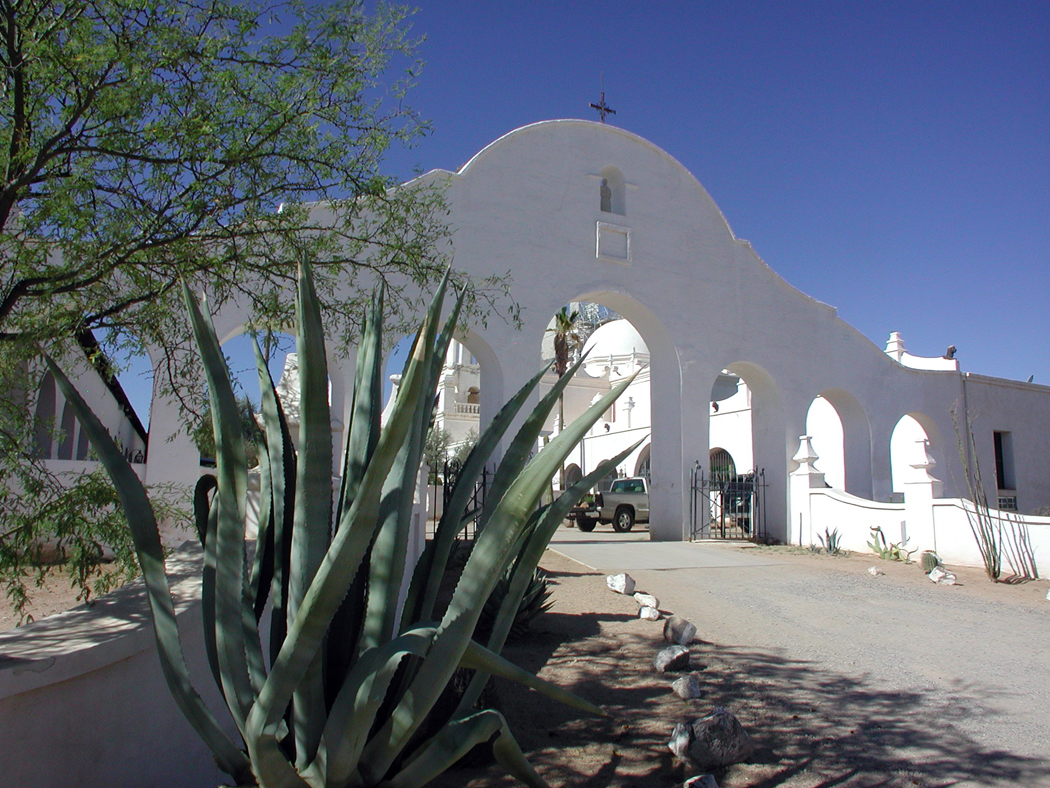
Mission church on Gila Reservation
Past the reservation, you hit the sprawl of Casa Grande and the junction with Interstate 8, where, as your rise up on the overpass, you can spot on the distant horizon the spire of Picacho Peak, which is your beacon for the next 45 miles. There are the pecan forests of Eloy, and, as you drone past Picacho, the ostrich farm, which is about the only meaningful punctuation in your journey until you hit the Ina Road exit, which marks the slow relief you feel as you finally approach your destination. Tucson! That outpost of civilization in the desert.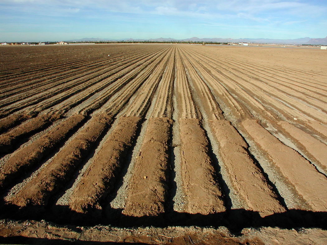
When my job took me to Tucson, I tried to find alternate routes whenever I could. The interstate is tedious, but usually, you had to find the fastest way between cities — it may surprise denizens of America’s eastern climes that in Arizona, it was not considered unusual or beyond the call of duty to drive to Tucson for an opera or a concert and afterwards, drive home to Phoenix the same night — each way a distance of some 125 miles.

Mobile, Arizona
But when I could — when it was still daytime, or when I had already spent the night in a Tucson motel — I would find some other road. If I had the whole day, I would drive up the foothills of the Santa Catalina Mountains, through Oracle Junction and along the Pima Pioneer Highway to Florence and then west through Apache Junction and back to Phoenix. It is a much more interesting drive, though considerably out of the way.
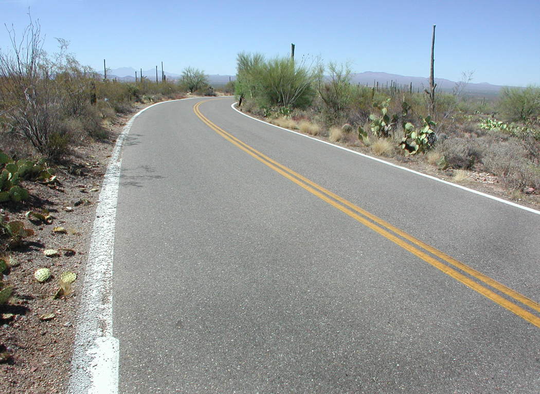
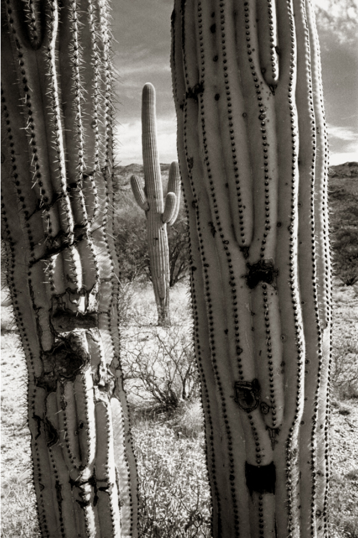
North Kinney Road, near Tucson
More often, in such circumstances, I would attempt to drive roads that paralleled Interstate 10, but entered the towns that the interstate bypassed, and looped widely through farm country and desert, giving a drive time to enjoy the exceptional Arizona landscape. The problem is that there are a couple of places where there is no alternative to the freeway, and for a few miles you have to hop back onto the mindless buzz and exhaust of the expressway before you can find an exit that lets you back into the reality of the land.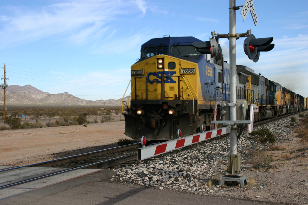
I recommend the extra time it takes to take such a route. You see more of the state, partly because you are driving more slowly, but mostly because all the knobs and bosses on your map are wide of the I-10 right of way.
Casa Grande National Monument
You can take 51st Avenue around the west end of South Mountain in Phoenix, and head into the Gila Reservation, and you can pass through Maricopa and Mobile — which began as an enclave for African-Americans when they were less than welcome in other towns — and you can see Sacaton.
I once committed a crime in Sacaton — breaking and entering. My wife and I culled our overwhelming book collection and came up with five or six boxes of books we decided to donate to the library in Sacaton. But when we got there, the old wooden library was closed. I broke into the building, picking the lock with my jackknife and leaving the boxes on the floor of the library with a note announcing “the midnight skulker” had left the books for the residents.
Several years later, we did the same thing again, except that the library had new deadbolt locks, increased security and a fence around the property. This time, we left the books on the front stoop, assuming that they would not be rained on as long as they were discovered before five months had passed.
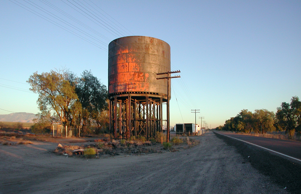
Red Mesa
You can drive through the pecans of Eloy, not past them.
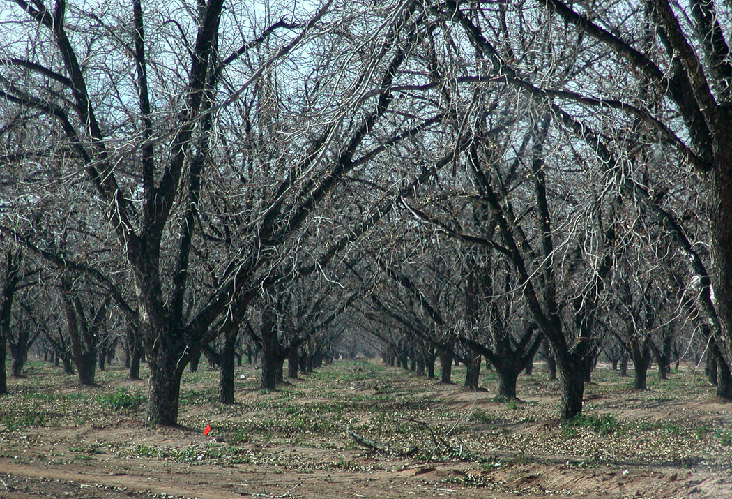
Eloy pecans
And when you get to the land just north of Tucson, there is farmland and the old railroad, including the abandoned water tower of Red Mesa, just north of Marana. From Marana, you can drive through the east section of Saguaro National Park (nee Monument), and past the Sonoran Desert Museum, past the Old Tucson movie set, up over Gates Pass Road and down onto Speedway Boulevard and Tucson.
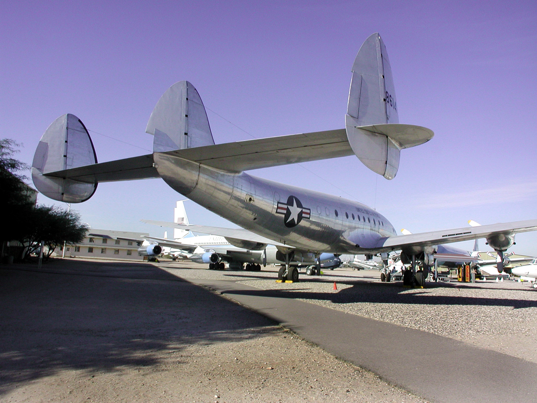
Pima Air Museum, Tucson
 It used to be that Phoenix was the crass commercial center of the state, and Tucson was the cultural center, where you found the arts and the educated people. But as Phoenix grew, such institutions as the Arizona Theater Company and Arizona Opera migrated north to the bigger city and Tucson has its past to cling to. It is still a more livable city than Phoenix, though traffic on Speedway is getting to be as bad as that on Camelback Road.
But it is south of Tucson that things get interesting again. The corridor down Green Valley takes us past mission churches, artist colonies, copper mines and nuclear destruction.
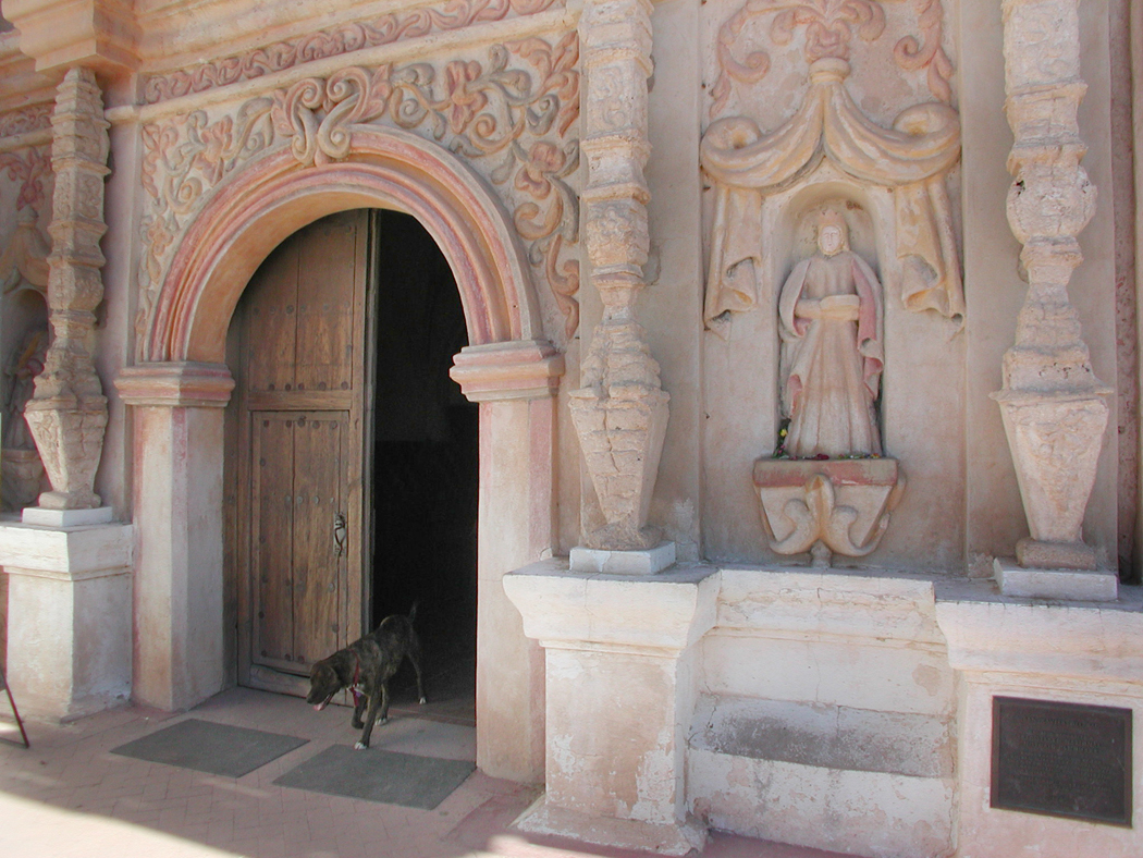
The highlight is the church of San Xavier del Bac, built in the late 18th century and recently restored. Services are still held, and while tourists run through the nave on weekdays, it is best seen in action during Mass.
San Xavier del Bac

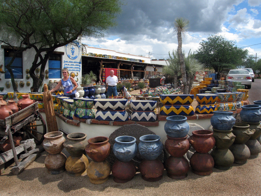
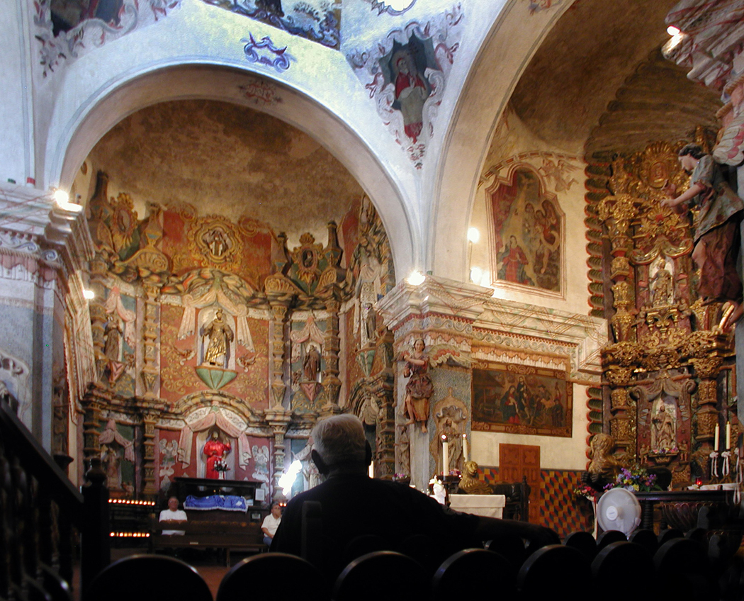 On tourist days, the plaza in front is often filled with crafts and jewelry for sale, and a food truck.
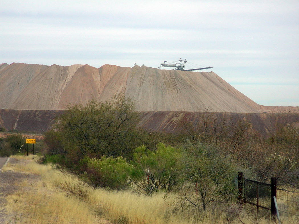
Asarco mine tailings
One thing that struck me, even the first time we drove through Arizona in 1980, was the prevalence of mountain ranges created by copper mines — the tailings piles that grew as large as the mountain ranges of New Jersey. They reach their Rocky Mountain stage further north, in the Miami-Claypool area, but you pass slightly newer and neater beside the roads as you head south from Tucson. The giant Asarco mines welcome visitors, and you can see a hole in the ground that makes you think someone is searching for Dante’s Inferno, having dug at least to the Malebolge. There are rings around the copper pit, just as Dante has his rings of Hell.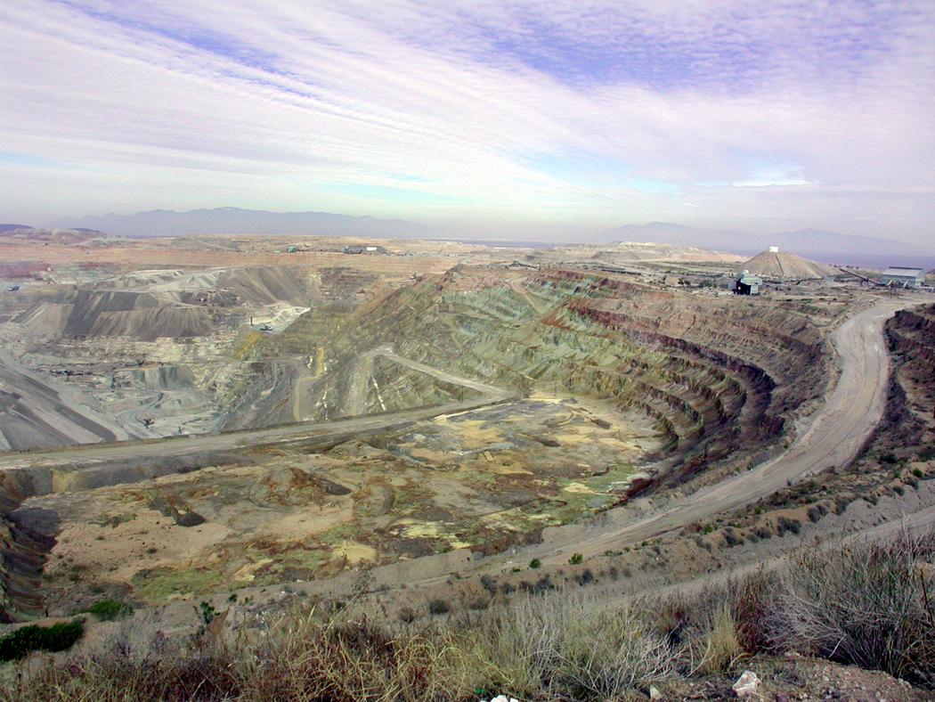
Perhaps a more literal hell is implied by the Titan Missile Museum next door, where you can see the implements of world destruction set out for you like a Disney attraction. 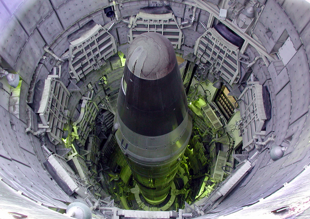 For those of us who grew up in the “duck-and-cover” 1950s, when nuclear annihilation seemed a palpable and immediate threat, the nose cone of the rocket seems a round pyramid of doom. Perhaps the mines are currently more immediate harbinger of doom, as the nuclear threat has stood down. For the moment.
Tubac
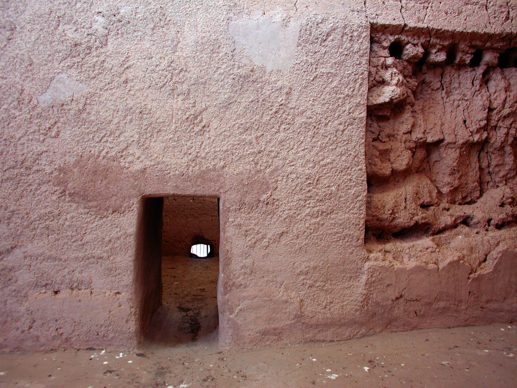
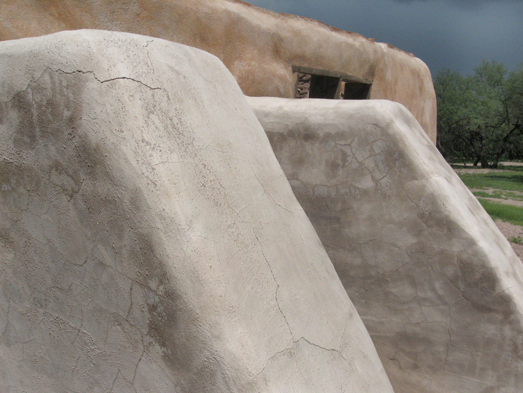
South of that, the traffic really dwindles, and you find the isolated and happy community of Tubac, an artists colony, and beyond that, the ruins of the Tumacacori Mission Church, with its adobe outbuildings and its recollection of the conversion of heathen Indios, whether they wanted it or not.
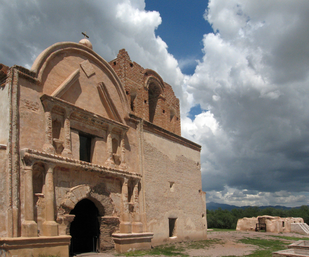
Tumacacori
At Tumacacori, an ancient woman demonstrated the making of flour tortillas. At Mexican restaurants, I always specify corn tortillas, because the flour version seems insipid and pointless. But at her side, my wife tried patting out the masa triga and made a mess. The old lady made perfect circles and plopped them down on her comal, flipped them once and offered them for us to eat. The mission church has not lost its touch: I was converted. A fresh flour tortilla, hot off the griddle, is a joy and a wonder. It is the commercial flour tortillas that are tasteless wads of paste. This version was a gustatory revelation and I will never think poorly of the flour tortilla any more — although unless it is made for me immediately off the tin-plate stove over a fire of wood ash, I will continue to avoid the store-bought variety.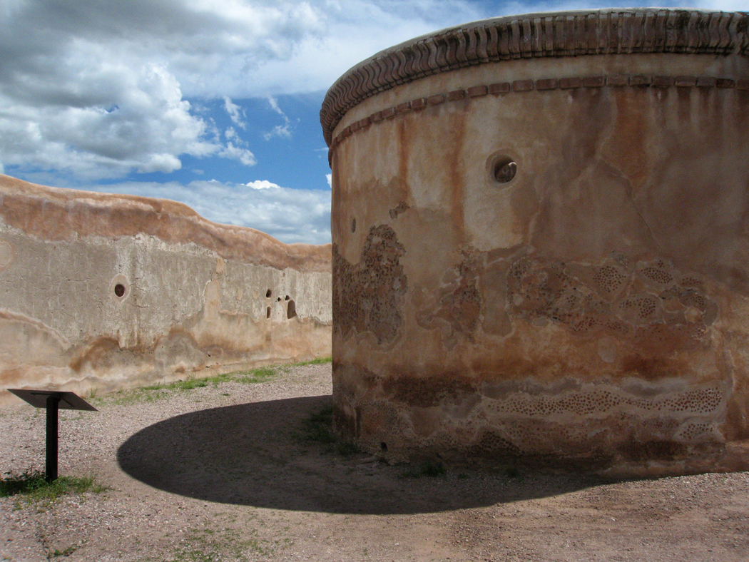
Down the road from Tumacacori, you used to be able to drive along back roads, dirt roads, through old farms and river beds. The drug wars have ended that. So many roads are blockaded now. Freedom of movement in Southern Arizona is severely curtailed. So, you might as well just drive on to Nogales and get a meal there.
Click any photo to enlarge


