Archive

Tag Archives: prairie

MapI have lived in the four corners of the U.S. I was born in the Northeast, lived in the South, the Southwest and the Pacific Northwest. And yet it is somehow the vast middle of the nation that most draws me to it.

In the Northeast, there are cities and woods, the Hudson River slicing up New York State, the “bare and bended arm” of Massachusetts jutting out into the cod-waters of the cold Atlantic. There are the great curved ridges of the Alleghenies forcing highways into what look like Golgi bodies on the gas-station maps. This is the land of salt-rust on the undercarriage of family cars; Of hillside cemeteries bordered by brick apartment buildings. Warehouse districts and tract housing; turnpikes and wharves; glacial till and the stone walls the till makes both possible and necessary — and the fallen ruins of those walls making forgotten property boundaries in second- and third-growth forests. Swimming holes from abandoned quarries and the ever-present nose dust of bus fumes.New York 3

I look back on these things and a wave of nostalgia warms me. Manhattan in the winter, with the Con-Ed grates pouring steam into the air; the periodic burst of warm air blowing up from the sidewalk as the subway train rumbles in the Stygian underground. People in vast tides walking with purpose up Fifth Avenue. The smell of coffee and pie at the Horn and Hardart.

But I left the Northeast at just about the same time as the Horn and Hardart began fading away. I moved to the South, where I became accustomed to slower talking, slower walking and human interactions that were not based on efficiency and gain. It was a land of pine trees grown for paper pulp, a coastline of sea oats and dunes on barrier islands, cities of fewer restaurants, and what there were served meatloaf and fried chicken. When I moved there, the single Chinese restaurant in Greensboro, N.C. pretty much restricted its menu to chop suey and egg foo yung with pot roast gravy.red maple

I have lived in the South now longer than I have lived anywhere else, although I have not been faithful, and have moved elsewhere, yet I seem always to return. There are pinxter flowers dripping with rain along the Appalachian Trail; there are bass-filled man-made lakes where small towns used to be; there are old lawyers in worn suits who meet every morning in the coffee shop to talk about the day’s events while sipping hot coffee cooled by pouring it out into its saucer slurp by slurp. When I moved to the South, the Klan was still common — in both senses of the word — and otherwise perfectly decent white folk made a sincere case for not changing things too precipitously. Every town had its black community, usually on the other side of the railroad tracks that had once provided the reason for the town’s existence and formed the terminator as clearly as if there were the lit and dark sides of the moon.

There were cotton warehouses and tobacco barns; men actually used spitoons — and if they didn’t have one, they might have an empty tin can into which to spit the brown excess saliva from their chaw. I know of one old reprobate who actually died when he passed out drunk and rolled off his couch, cutting his throat on the jagged edge of his spit can.

If, in the North, people had little time for each other, always in a rush to get somewhere and do something, in the South, everything revolved around relationships, around talking and with that talk establishing social rank and responsibility and anyone you knew, you also knew who their daddy was. People talked endlessly, about weather, business, politics, gossip, taxes, planting, hunting, dogs and church meetings. Even now, so many decades later, when I made my first visit to the local barber, one of the things he asked, making small talk, was what church did I go to. He wasn’t being nosy nor was he proselytizing, he was merely establishing a relationship.nc church jesus saves

A good deal has changed in the South since I first got there four decades ago. Accents that used to define hierarchy have begun flattening out: You can walk through whole blocks of Atlanta and hear the same language you might hear in Allentown, Pennsylvania. Fine dining is now possible if your city or town is now large enough. Your mayor has at least a 50-50 chance of being African-American. When I got there, every white Southerner was a Democrat; now, they are all Republicans.barista

I moved to Seattle in the late ’70s, before half of California swept north, and before every streetcorner had baristas pouring white swirls into the foam of a latte. The railroad switchers shunted cars from dock to dock along Alaskan Way where homeless men in dirty coats and black watchcaps clutched brown paper bags while sleeping in industrial doorways. The ferry moved out of its pier in the morning light to make its way to Winslow on Bainbridge Island or to Bremerton. Although it rained most days during the three non-summer seasons, it was mostly a drizzle and few people even thought it counted as rain and no one I saw ever carried an umbrella.

From my house on Phinney Ridge, across from the Woodland Park Zoo, you could see the snow-capped Olympic Mountains to the west and the snow-capped Cascade Mountains to the east. To the south was the biggest permanent, unmoving white cloud you ever saw — on those days you could actually see it for the weather — and it was called Mt. Rainier, which was pronounced, unlike the sovereign of Monaco, as if it described the precipitation in the Puget Sound: rainier. Certainly rainier than Arizona, where I moved later.Seattle docks

There was Olympia beer and Rainier beer, and I could hardly believe it to see pedestrians stop at the “don’t walk” lights, even at 2 in the morning when there were no cars on the road. No New Yorker would do that; I had friends who otherwise had a cavalier attitude toward authority who would stop me from jaywalking, as if the Stasi were keeping files.

When I got out of the city, the forests were populated with douglas fir and western redcedar. Nothing else. Endless miles of the stuff, climbing up the sides of mountain ranges and with downed logs greened over with moss, and the path a spongy loam under your feet.Hurricane Ridge, Olympic NP, Wash

I think that is what finally drove me to move back to the South: The sense of homesickness for a forest with scores, even hundreds of varieties of tree. The sameness of the Northwestern forest seemed unnatural to me, as if I shouldn’t be there.

There is much I loved in the Northwest. The moist air, the cool summer, the planked salmon and Ivar’s Acres of Clams. I knew a bunch of bicycle messengers, known as “Buckies,” and enjoyed the friendship they provided. There was a political progressiveness that was nearly universal; one could shop at the co-op grocery, the Public Market at Pike Place. Stop off at a bar and have a beer like a real person.Badger Creek Ariz

Finally, there is the American Southwest, as dry as Seattle was moist. One can see for 20 miles at a glance, taking in a meaningful quadrant of the earth circumference. The Southwest mean space. At least outside the city of Phoenix, where we settled — and we got out of the city as often as we could — the desert was intense, sharp and beautiful. Before a rain, the humidity made the creosote bushes smell like spicy cologne. The saguaro cactus stood vertical above the thorny undergrowth. Jack rabbits, roadrunners, the occasional javalina or rattlesnake darted in and out of view. The air was dry; sweat evaporated before you even knew it had escaped your pores. The sun bleached the landscape and radiated heat like an open oven door.

There were three different experiences of Arizona. The most common one was the urban experience of Phoenix.

My wife and I moved there because we had traveled summers across the country and thought it might be pleasant to live in the West for a few short years. I’m sure we were thinking of Flagstaff or Santa Fe. We wound up in Phoenix. We were thinking of having a little adobe house with a white picket fence and perhaps a butte in the background and a few pinto horses grazing in the pasture.  We wound up on Seventh Street, the busiest thoroughfare in the city, with traffic noise like endless surf crashing outside the house, and exhaust soot collecting in the cooling ducts of the house.

The street grid was punctuated by Circle Ks and 7-Elevens. The right-angle network of streets were broken in places by the eruption of mountains: Camelback, Squaw Peak, South Mountain. Enthusiasts climbed them to get a view of the city below, which spread out like a plaid tablecloth, divided into square patches. You could hardly get lost in this checkerboard of roads; you were either driving north-south or east-west, and the city’s mountains provided easy landmarks. You always knew where you were.camelback mountainSaguaro NP Ariz

Outside the city, the land was split between northern and southern Arizona. To the south, there were greasewood flats, saguaro cactus and stony mountains catching the sun late in the day to demarcate the rosy lit areas from the bluish shadows. Dry lake beds hovered in the distance, white salt pans, and the taller mountains caught snow in the winter.

To the north was the Colorado Plateau, Flagstaff, the Navajo and Hopi reservations and the Grand Canyon. The air was noticeably thinner and cleaner — no Phoenix, no Tucson to fill the valleys up with yellow smog. Roads unrolled in long ribbon streams ahead of you heading to the horizon bounded by mesas and buttes. The landscape painted tawny, ruddy, sooty, whitish and blue by streaks, the sky larger than you have seen it anywhere, and most likely uniform blue, only darker toward the zenith.

At First Mesa on the Hopi reservation, you can hardly tell the blocks of stone making up the hillside from the stone houses built atop. You drive endless miles across grassy plains to the next habitation. Streams are marked by slight empty depressions that only fill up in the rare rains that come, mainly in late summer as thunderstorms and mid-winter as constant frontal drizzles. They can become roiling mud rivers almost instantly. Cars will be washed away in the flow. You can always tell the newbies in the desert; they think they can drive through the flooded washes. They fill the nightly news and we see the cars floating downstream, their owners on the roof waiting for rescue.

We spent one Christmas day with friends in Walpi. We brought apples and oranges, coffee and sugar. They gave us cookies they were baking. It snowed on First Mesa; the fire in the stove heated the low stone house.

What you are never quite prepared for is the sense that the canyons are not, like mountains, something that rise from the level, but rather are gigantic holes in the ground you don’t see until you are right on top of them. The stratigraphy is a geological story that is told, part by part, as you move from one part of the state to another. The same layers, in the same order hundred of miles apart, although they might be covered by yet more layers in one place, and rest on the surface elsewhere. You could, like a good geologist, anthologize the landscape to tell a continuous saga.

When we left Arizona, we immediately became homesick for the Plateau and the desert. I cannot say, however, that we missed the city. I used to call it “Cleveland in the desert.” I loved my job there, and my colleagues and friends, and my wife loved her job and her colleagues and friends, but the city itself is rather charmless. The South called us back.

And so, we returned — for me it was my third homecoming. Now we live in the Blue Ridge Mountains of North Carolina and I am constantly amazed, as a Yankee, at just how open and friendly the people are — so much so, it sometimes creeps me out.

But as I was saying at the head of this periplus, I have lived and absorbed the people and land in the four corners of the country, but somehow, there is a gravitational pull to the middle I have always felt, to the place I have never managed to live, the vast gut of the continent.Chicago, Ill

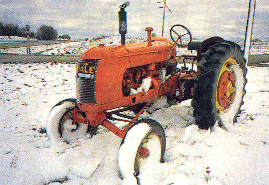
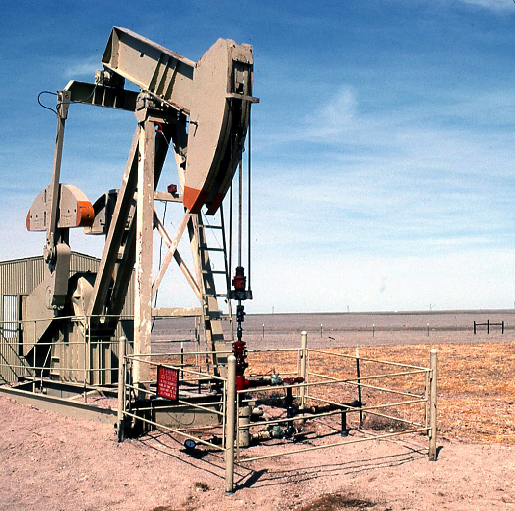
For me, there are two emotionally resonant attractions to the middle. First, there is the rustbelt city, the factories, the immigrant populations, the train yards and highway junctions that all spoke of the industrious rise of the nation from the late 19th century through the Second World War. It is where so many of our great writers came from. It is the home of pirogis and deep fried ravioli, sausages and red cabbage. I have loved taking the train across the lower shores of the Great Lakes past Cleveland and Toledo to Chicago. There is a Midwest that is populated. What is not industry is farm. And there is corn and wheat, silos and tractors. The land tends to lie flat. You could play billiards on the ground in places in western Indiana.Joes Colo haystacks

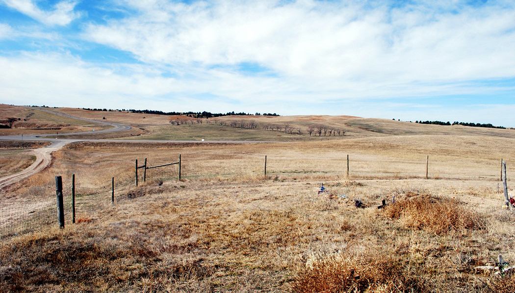
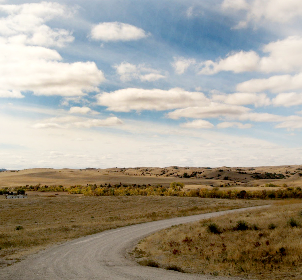
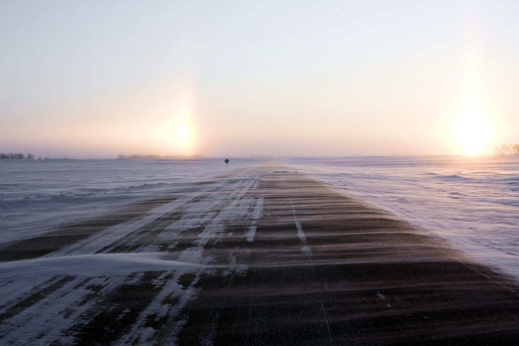
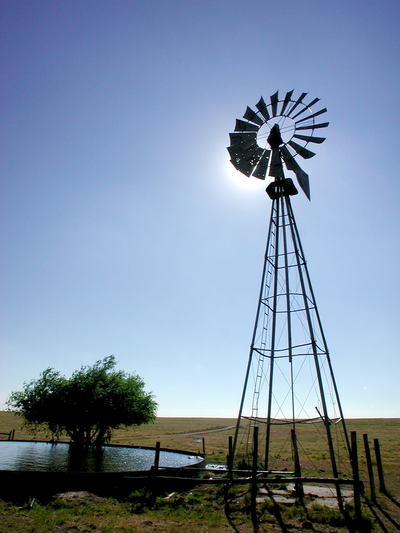
But there is the second middle of the country that calls to me even more insistently: It is further west than the prairies; it is the Great Plains. Driving through North Dakota or Nebraska, eastern Colorado or eastern Montana — there you feel more than anyplace else in the 48 states that you live on a planet. On the coasts, it used to be proof of the roundness of the earth that you could see the ships and their masts slowly dip below the horizon; on the plains, you see the next grain elevator rise from the same horizon in front of you as you drive and later drop again behind you. You are always on the high point of a dome; the earth falls away from you in all directions. And on this dome, the grasses curl like whitecaps on the ocean.

It is this sense that Melville captures so well in his late story and poem (or is it poem and prose prologue) John Marr. “Blank stillness would for hours reign unbroken on this prairie. ‘It is the bed of a dried-up sea,’ said the companionless sailor — no geologist — to himself, musing at twilight upon the fixed undulations of that immense alluvial expanse bounded only by the horizon, and missing there the stir that, to alert eyes and ears, animates at all times the apparent solitudes of the deep.” The landscape between the Mississippi River and the Rocky Mountains  was “hooped round by a level rim, the prairie was to John Marr a reminder of ocean.”

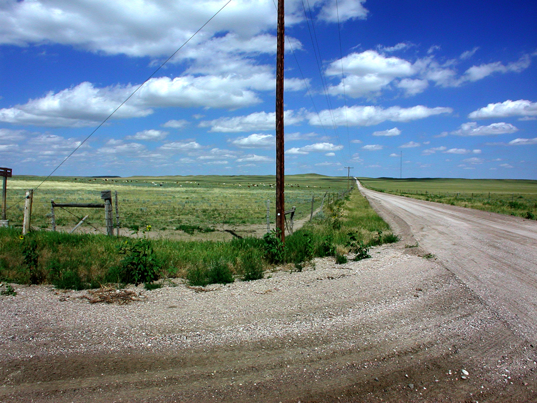
There is little in this expanse that can count as a city. Much that seems uninhabited. Moving across the Dakotas and into Montana, you find that neighbors count their separation not by fences but by miles. The land rises and falls like sea swell, and from the top of any ridge, you can see the land spread off in grassy waves.

Why this landscape should call to me so seductively is a mystery, even to me. I have wondered if it is some atavistic genetic memory of the Indo-European origins in the Caucasus, the Trans-Oxiana, where the grass continues unabated for a thousand miles, that Scythian homeland of my peoples, or at least of my language.Pawnee Buttes 5

Or perhaps, even further back, it is the imprinted memory of the African savannah where even before the global diaspora, we hairless monkeys were born. Why should I feel a homesickness for the grasslands that I have never actually lived in, unless there be some tick in my chromosomes that was molded there?

Whatever the cause, I feel it strongly. I feel it also in Manitoba and Saskatchewan, and eastern Alberta. The grasses swirl in the breeze, like animated hair whorls on an infant’s head; you can see the breeze moving through the grass in waves, the way a man in a sailboat sees the fretting of the lake surface as the gust approaches.

I am old now, and it is unlikely that I will dot the center of a quincunx of habitations by finally moving to the continental center. I will stay fixed in the North Carolina mountains. The Northeast, Southeast, Southwest and Northwest are part of my past. The spindle around which they all turn will remain a psychic locus, not an actual one for me. And the gust that frets the water a hundred yards off is the final one.

road into hills BW
In 1997, I took an epic road trip north along the 100th longitudinal meridian from Laredo, Texas, to the Canadian border. The previous blog entries covered Texas and the Central Plains. This final installment brings the Northern Plains and the end of the trip.

wounded knee 2

Mile 1294, Wounded Knee, S.D.

Most of the action by the U.S. against the Indians in the past century was reprehensible at best. The list of atrocities is nothing to be proud of, from Sand Creek to Washita River. But one of these massacres bothers me more than the others.

It is the photographs that make the difference.

On Dec. 29, 1890, a Lakota elder named Big Foot and more than 200 of his band were gunned down by soldiers at Wounded Knee, S.D.

The Indians had obeyed Federal orders to come to the reservation and had obeyed orders to give up their rifles. Big Foot was deathly sick and coughing up blood.

But the soldiers didn’t believe the Sioux had given up all their guns. One remained, and as it was being turned in, a gun somewhere went off and the army went crazy, gunning down not only the Indians, but up to 30 of their own men. The Indians, wearing “ghost shirts” they thought would protect them, fought back as well as they could with knives, hatchets and a few pistols. But most of those killed were women and children.

Of the battle, one is reminded of My Lai in Vietnam. Writer Herbert Welsh, who saw the battle site soon after, wrote, “From the fact that so many women and children were killed, and that their bodies were found far from the scene of action, and as though they were shot down while flying, it would look as though blind rage had been at work.”

It isn’t the stupidity or the injustice that gets to me — there are many examples, not only in the so-called “Indian Wars,” but pretty much in all of history. Humans have not been good to other humans anywhere on the globe.

No, what gets to me are the photographs.

big foot corpse

Taken three days after the massacre, they show the frozen, contorted body of Big Foot, with his hands knotted up arthritically and his body bent up out of the snow in frozen rigor. He is isolated against the blank, white background of the snow, and all the more symbolic for that isolation. A few soldiers stand off in the background talking and a horse puts his nose to the ground for some grass sticking through the snow.

Another shows a line of soldiers standing behind a mass grave. James Mooney, who wrote the first definitive account of the Ghost Dance phenomenon and the Sioux uprising of 1890, wrote:

“A long trench was dug and into it were thrown all the bodies, piled one upon the other like so much cordwood, until the pit was full, when the earth was heaped over them and the funeral was complete. Many of the bodies were stripped by the whites, who went out in order to get the ‘ghost shirts,’ and the frozen bodies were thrown into the trench stiff and naked.

“They were only dead Indians,” he added, with an accusatory dose of irony.

There is another set of photographs that come to mind — the emaciated, contorted bodies being bulldozed into mass graves at Dachau and Buchenwald.

For many, the Indian Wars are just cowboys and Indians stuff from a long ago history. But for me, they sing of a continuity of outrage. The “Final Solution” of one century mirrors that of its predecessor.

So, I have wanted to visit the site at Wounded Knee and when I got there, was surprised to find it barely marked at all. Perhaps both sides feel shame over it. The whites for the evil they don’t like to recognize in themselves, the Indians for the humiliation.Pine Ridge Reservation square

The Pine Ridge Reservation in southern South Dakota is more beautiful than it has been described, with grassy hills and cedar trees dotting the plains. While it is true that poverty is endemic, it is not the fault of the landscape, which is better than some of the grasslands I passed through in Nebraska on my way north.

But the actual massacre site is little more than a spot in the road. There is a hand-lettered wooden sign that describes the event, but there are no official markers, no commemoration, no visitors center, no rangers ripe with interpretation.

wounded knee gulley

The dusty ground at Wounded Knee is a gully with the bridge on one side of the road, and a hill with the Indian graves on the other. During the battle, troops had placed cannons on the hill and lobbed exploding shells down the slope at the Indians.

There are also a few ramadas. In the summer, there are booths selling Indian crafts. In October, most were empty, although there were two young Lakota girls with a clothesline strung with dreamcatchers.

I stopped and asked them if this was the massacre site and they said yes.

“Where did it happen here?” I asked.

“All around.”

The older was about 12, the younger, 8. We talked about being Indian, about the effect of history and about the price of dreamcatchers.

“We need to sell them. Our sister is in the hospital and needs our help,” said the elder, in an ages old play for sympathy. I wondered who had taught her to scam me. If I had any doubts over whether it was a scam or not, they dissipated  when I said: “I’m sorry to hear that. What does she have?”

The girl looked caught out and gave me a distressed look, as if she hadn’t anticipated the conversation getting this far.

“Why is she in the hospital?,” I repeated.

A wait of two beats: “She’s sick.” It was almost a question.

I felt more sorry for her being caught in a lie than I did for her probably imaginary sister, so I bought one.

badlands 1

Mile 1379, Badlands National Park, S.D.

Near Kadoka, S.D., the rolling grass of the plains is cut through by erosion, sculpted into spiky, spooky mazes of canyons and hills. They were called by the early French trappers, “les mauvaises terres a traverser,” or “bads lands to cross.” And they certainly would be, if it were not for the smooth roads of the National Park Service.Kadoka sign

The Badlands National Park is a long, gangly loop of lands lodged in the corners of the Buffalo Gap National Grassland and the Pine Ridge Indian Reservation. In places, the park is less than a mile wide, although if you walked from one extreme to the other along its length, you would hike a semicircle of something like 60 miles.

Most of it is flatland. As you drive along S.D. 44 from Scenic to Interior, the badlands themselves are a whitish line of crenelated hills on the northern horizon.

Only when you get close to them, near the Ben Reifel Visitor Center at its eastern end, can you really appreciate the blasted, washed out, weathered exhaustion of them.

blizzard headlights

Mile 1707, Bismarck, N.D.

A freak October blizzard blew across the Dakotas. One day, I was in Pierre, S.D., and it was 80 degrees; by the time I pulled into Bismarck, N.D., the next day, a front had barreled through and the thermometer had dropped into the 30s. With winds at a steady 50 mph, the wind-chill was more than a TV weatherman’s conceit: It could mean frostbite.

During the overnight, a line of powerful thunderstorms had run from Texas to Manitoba along a cold front that moved east with the speed of a freight train. Tornado warnings were issued for the whole length of the front.

One day the Prairie population was talking about their tomatoes lasting so late into the season, the next day, they are scraping windshields with parkas pulled tight around their cheeks.bismarck night snow downtown

Just before the blizzard moved in, I wandered through the streets of Bismarck, looking up at the sky that was turning ever more slatey and frigid.

To get in out of the cold, I wandered into several downtown stores, including one antiques shop. The woman behind the counter also does home interiors: One side of the shop is given over to fabrics, the rest to consignment antiques.

The proprietor was a bubbly woman of about 50, who praised the plainness of the  Prairie people.

“Even the politicians are ordinary people,” she said. “The governor is a regular customer and his wife says she’d come here more often except that she has to clean the house.”

But there are cosmopolitan Bismarckians and those who are less so.

“I ask my customers if they’ve ever been out of North Dakota,” she said. “If they have, I know they’ll go for the weird things, some of the more tasteful and unusual treatments.” She fingers one of the fabrics that is tightly gathered with pleats.

“If they’ve never been outside North Dakota, well, I bring out the J.C. Penney catalog. They’re really conservative.”

I told her that I take it to be an inborn modesty they seem to have in the Plains Midwest, a desire not to appear more fashionable than they are.

“But it’s not quite modesty, either,” she says, “almost a kind of lowered expectation.”

Like Pierre, S.D., whose tourism brochure proudly claims it is the “tenth best small town in America.”

Or the High Plains Museum in McCook, Neb., whose billboard promises only that it is “interesting and free.”snow tractor bismark

As I begin driving again, the skies have begun flaking and the crystals blow around the pavement like sand blown across the beach in a storm.

What are predicted are snow showers and snow squalls, but by the time I’m 100 miles out of Bismarck, it is a full-scale blizzard.

Luckily, the roads are still warm enough that nothing is sticking to them, although the farm fields are speckled with white, catching in the furrows making a scumble of white and black.

It is a tailwind, so as I drive, I hardly notice it, except to see the grasses bent sideways and vibrating on the shoulders. And the snow dances on the pavement in front of me like some sort of fairy mist, swirling and shifting. I can see the flakes bobbing around in front of the windshield.

But when I stop at a rest area and step out of the car, I can see that the snow is rushing past me horizontally. I can barely put my foot down where I intend as I walk through the gale.

Visibility is reduced at one point to less than a tenth of a mile; the world is whited out and the windbreak trees at the other side of the cornfield are faint ghosts.

Contending with weather like this, I decide, must make you modest. You are not likely to believe the hype of the American media siren when you know a pair of jumper cables can save your life.

By the next morning, the wind has died down, although the snow flurries continued. When I set out again, the landscape is white and astonishing.

snowdrift on highway

Mile 1869, Canadian border, N.D.

It seems as if there is nobody left on earth. The hills are empty of buildings and if it were not for the tractor paths through the fields, you might actually believe that the acres and acres of sunflowers grew there naturally.

In the summertime, the expanse of yellow is astonishing. I have driven through North Dakota when the sunflower crop is as brilliant as trumpet music.

In October, though, the color is gone and all the heavy seedheads, browned and dried, bend over like so many showerheads — and all facing east.

Sunflowers in two seasons

These giant flowers should not be confused with the roadside sunflowers that cover the Great Plains. Those, with their ten or a dozen three-inch flowers per stalk, swaying in the breeze, are delicate and lacy compared with the commercial variety that grows in the fields.

Each of those grows a single giant flower on a woody shoulder-high stalk with a central disk crammed with the sunflower seeds we nibble on at ball games. But it isn’t as snacks these fields are filled, but for their oil, used in food processing.

You can see them in the summer, armies of them, over the rolling hills, cut through only by the two-lane blacktop and, every few miles, a farmhouse surrounded with its outbuildings, fences and a couple of pickup trucks parked in the gravel driveway.

I first came through North Dakota on a train, some 20 years ago, and I was fascinated by the lonesomeness of the land. Neighbors are miles apart; the only way you know you are on an inhabited planet in the winter is to see the smoke from a distant chimney coming over the snowy rise.

It is this country that Gertrude Stein meant when she said that, “In the United States there is more space where nobody is than where anybody is. That is what makes America what it is.”

And it seems to me, as I finish my odyssey up the 100th Meridian, that it is this Heartland that seems the most American to me. It is this country of Thomas Hart Benton paintings and Hamlin Garland books that seems to hold the nugget of Americanism.

New England may have been the intellectual center of the growing nation and the twin coasts may have driven the commercial development. But it is this central axis, furry with grass, that has been and remains the heart of our country.

It is the Plains that spread out in front of the wagonloads of pioneers and gave them the epic sense of continental expansion.

It is the Plains that separated the Atlantic and Pacific, as guts fill the space inside our skin.

It is the Plains that gave the country its defining metaphors, whether cowboy, Indian, sodbuster, religious migrant, long stretching miles of highway or landscape that must be tamed. We learned self-reliance and cooperation, we learned how to adapt when we must and how to maintain tradition when we could.hundredth meridian sign ND

It is the Plains and the Indian Wars that provided us — second only to slavery in the South — with the guilt that gives emotional complexity to our national naiveté and, when we don’t deny the sin, our depth as a people.

In the cities of East and West, we can pretend that society is paramount and that human beings have charge of the world. It is in cities that theories are propounded.

But in the Plains and prairies, we are forced nakedly into the realization that we live on a planet, with the racing sky above and the blackbirds dotting the snow beneath.

It gives us perspective.

Pawnee Buttes 6

Space and time.

As you stand in the grassy expanse of the Great Plains, you are forced to confront them, Einstein’s two-faced god, the Janus of existence.

Time and space.

You stand at the stony edge of a low bluff and look out at a sea of grass and the cloud shadows racing over the buttes in Colorado’s Pawnee National Grassland, wetting them and drying them with shade and sun.

You feel yourself alone in the circle of the horizon — dead center in the universe of your own perception — and know, in a way you never do in the city, that you are alive on a planet. Pawnee road to horizon

Pawnee National Grassland is about 90 miles northeast of Denver. Within a 30- by 60-mile area just south of the Colorado-Wyoming state line, the Pawnee National Grassland encompasses old short-grass prairie and reclaimed farmland. The area is crossed mainly by unpaved roads, and the birds peel off from the side of the road as you drive by like the wake of a motorboat.

Sunflowers yellow the barbed wire on the shoulders of the roadway. Hordes of sunflowers, bobbing in the wind that is always exhaling. Pawnee sunflowers

It is easiest to get to the National Grassland from Denver. Usually, when we think of Denver, we think of the Rocky Mountains that loom above the city, but that is only if you face west. If you face east, Denver is the gateway to the Great Plains — the vast fifth of the United States that houses less than 3 percent of its people. Pawnee phone pole

A deeper beauty

The mountains are beautiful, but in a conventional way: Everyone can recognize their looks. But the Great Plains have a deeper beauty, and only those who spend time in this space can be gifted with seeing it.

As Walt Whitman wrote, “I am not so sure but the prairies and plains, while less stunning at first sight, last longer, fill the esthetic sense fuller, precede all the rest and make North America’s characteristic landscape. Even the prairie’s simplest statistics are sublime.” Pawnee fencepost

This region of northeastern Colorado was the subject of James Michener’s 1974 book, Centennial, and the history of the place was fictionalized in his tale.

But the real story is hardly less compelling. The prehistoric seas gave up the sea bottoms to become the middle of the continent. Dinosaurs, and later the great Cenozoic beasts, inhabited the area. Then there were Indians and buffaloes. Pronghorn, the fastest land animals in the western hemisphere

Finally, the buffalo hunter, the railroad, the cattle industry, the dry farmer, the droughts, the financial busts, the Dust Bowl, the emigrations and the land remaining like the butt end of a used cigarette.

You can feel all that history in the grass under your boot sole. windmill and sun vertical

By the mid-1930s, this portion of Weld County dropped to a tenth of its pre-Dust Bowl population.

That’s when the federal government and its Work Projects Administration tried to stabilize the economy, and the government began buying up plots of land. In 1938, responsibility for administering the land fell to the Soil Conservation Service.

In 1960, the Pawnee National Grassland was created. It is divided into two sections, each roughly square, just north of Colorado 14.

‘Rattlesnake Buttes’

The town of Briggsdale sits to the south of the road in the western sector. The towns of Buckingham and Raymer do the same in the eastern sector. They hardly qualify as towns: more like a collection of farm buildings, a few houses and maybe a grange hall.

The western sector contains the only campground, the Crow Valley Recreation Area, which sits in a depression of cottonwoods along Crow Creek. Crow Valley campgroungs

The eastern sector features the Pawnee Buttes, two erosional remnants that Michener calls “Rattlesnake Buttes” in Centennial.

“They were extraordinary, these two sentinels of the plains. Visible for miles in each direction, they guarded a bleak and silent empire,” he wrote. Pawnee Buttes 1

They tower about 350 feet over the plains at an altitude of 5,375 feet.

Getting to them requires a commitment. You have to drive on dirt roads about 15 miles, switching roads several times. It would be easy to get lost without a map. Get a map — available at a ranger station near Briggsdale.

You will pass Keota, a Dust Bowl ghost town, on the way. In its heyday, just after World War I, there were 140 people living there. Now, there are a few holdouts in the few remaining buildings. grasslands oil rig

Oil was found in the area in 1924, but that didn’t save the town. Even now, there are some oil pumps in the grasslands.

Between cattle grazing and mineral rights, the grasslands more than pay for themselves: 25 percent of oil and gas revenues are returned to Weld County for roads and schools. A similar percentage comes from grazing rights.

Wildlife treasured

But mostly the treasure to be found is in the wildlife: 301 species of birds; 400 species of plants. There are deer and pronghorns, prairie dogs, rattlesnakes.

The grasslands are not for the tourist, but for the traveler. There are no attractions in the flatness except the flatness itself. Lark Bunting

But for those who feel the atavistic call of the savanna, the veldt, the steppes, the pampas, this reminder of the tawny places in Africa that humankind came from, the grasslands speak volumes.

Grasslands, which cover 40 percent of the Earth’s surface, are home to almost 1 billion people.

Too often overlooked by tourists, who just want to get through the expanse as quickly as possible, the grassy middle of the country is, instead, what they should be looking for. Pawnee Buttes 5

Here you stand in a field of grasses that billow in the wind, with the same horizon you gaze at sea, and the same sky, and you recognize, more than in other landscapes, that each point in the endlessness is its very center.

It is the source of our national identity. It is the West we think of as our coming of age. It is the cradle of our greatest authors, the heart of our economy: the “amber waves of grain” and the “fruited plain.” Sunflower 2

And a sense of the bigness of the planet.

Time and space.