Archive

Tag Archives: travel

streetlamps snowI’m in Chicago and it’s close to midnight late in November in 1978. The air is raw. There is a sleety mist falling and I haven’t eaten anything since leaving Syracuse early that morning.

I am fleeing across the country, jobless, broke, and emptied inside. I want to put a continent between me and my broken heart, but somehow, it is following me. “Stay!” “Stay!” I say, as if I were talking to an uncomprehending dog, but it just drools, looks at me with brown glazed eyes and won’t leave my side.

There is little that so perfectly captures this experience than a train rattling through the wintery night, with its distant points of light and the Doppler whirr of clanging bells as we pass a grade crossing.20th century limited

The Twentieth Century Limited had once been a great route on the New York Central line, driving north along the Hudson from Manhattan and turning west at Albany, passing Utica, Syracuse, Buffalo, Erie, Cleveland and Toledo on its way to frozen Chicago. It had been the train of movie stars and tycoons. The route no longer exists, replaced by Amtrak’s luxeless Lake Shore Limited.

But as I ride the train, in its last days and paying the minimum fair for a seedy coach seat, it is more like a linked chain of crowded, smoky Greyhound busses, rattling along from one decaying rust-belt depot to the next.

There is a lot of talk of the romance of rail travel, but we should remember that romance is not born of ease and indoor plumbing, but of struggle: The most memorable times in our lives are those we survive, not those we glide through.

So, it is one of the travails of train travel that you are at the mercy of inconvenient schedules that are never met, coaches that are always either too hot or too cold and bad tracks that jerk you awake as you try to grab a few winks leaning awkwardly across two seats.

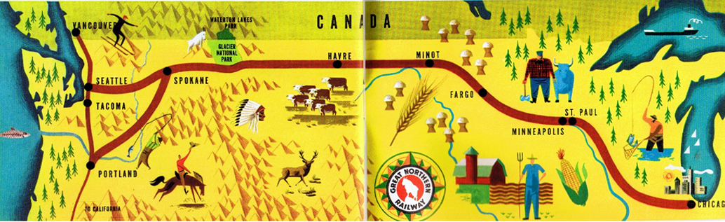
I am in Chicago between trains, with a ticket for the Empire Builder, which will take me the rest of the way to Seattle, crossing the Great Plains and the Rocky Mountains along the way.streetlamp sleet

In the meantime, I’’m walking the block around Union Station looking for a bite.

What I find is a lonely kiosk, spewing steam, where a man is selling sausages and sauerkraut. He is getting ready to close up and I’m his last customer.

The sleet darts like needles through the cone of light under a streetlamp and I’m shivering by the time my boarding call echoes through the station like plainchant in a cathedral.kwakiutl design

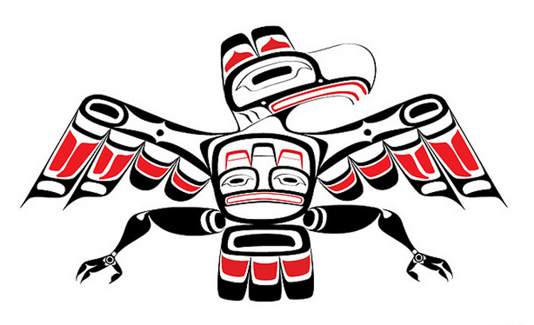
The Empire Builder I enter still is decorated with the orange and green of the long-gone and multiply-merged Great Northern Railway and each coach is painted with oval-and-bar animal paintings of the Kwakiutl Indians. Here a beaver, there a raven and there a killer whale. It is a train with character.

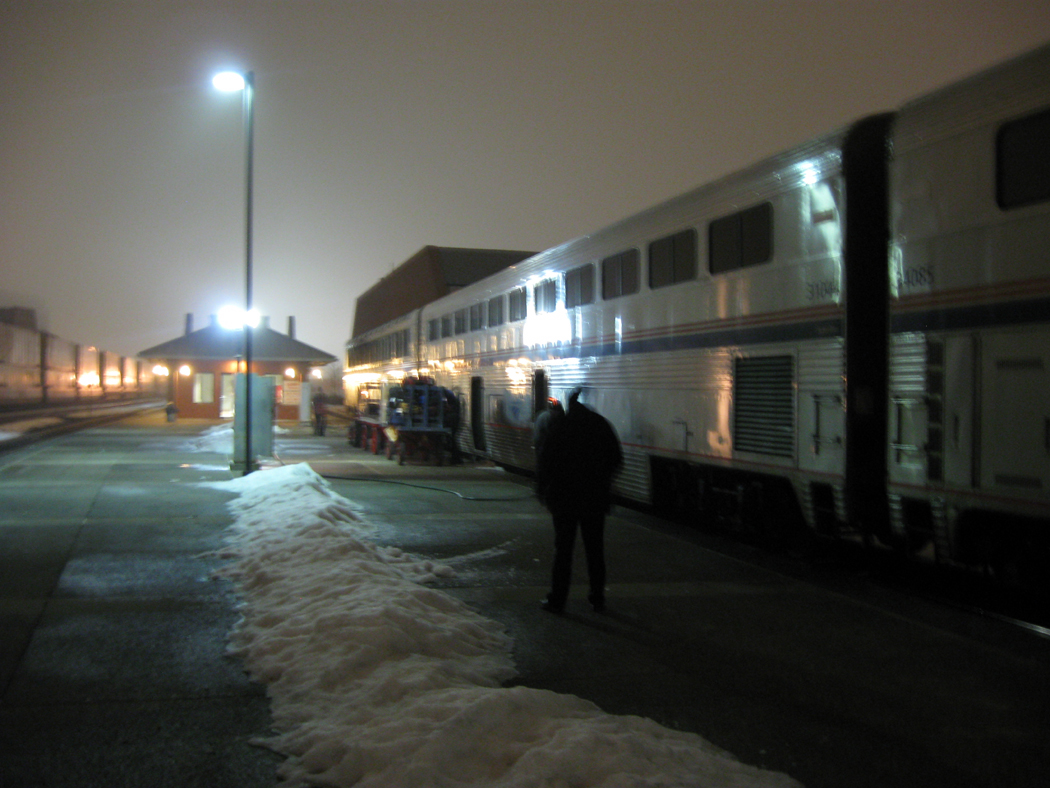
It is dawn by the time the train reaches St. Paul and I step out on the platform to stretch my legs. It is cold but dry and I’m surprised by the comfort. “Don’t stand there too long in your shirtsleeves,” the conductor warns. “The temperature will fool you: It is 14 below zero.”empire builder station night winter

For the next two and a half days, I sit, squirm, fidget and fitfully doze as I ride the Empire Builder across the broad portions of the continent. I talk to my coachmates, but most of them only stay on board for a few stops as the depots tally up: Red Wing, St. Cloud, Fargo, Devils Lake, Minot, Williston, Wolf Point, Glasgow, Malta, Havre, Cut Bank.empire builder route map 2

But there are rewards paid for the suffering.

You can never see the expanse of the nation better than through a train window. From the air, you see what looks mostly like a huge map, with rivers and interstates. From the car, you see the consumer culture of Burger Kings and drug stores. But from the train, snaking its way through the unprogrammed portion of the country, you see the farms, the factories, the land and its people.montana prairie empire builder

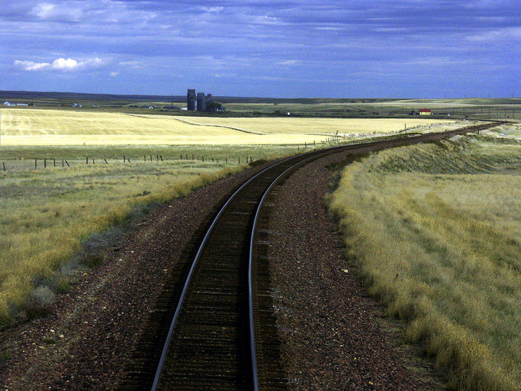
Across North Dakota and eastern Montana, the land rolls like a seaswell and we see no roads, only wheat. Houses blip by only once every few miles. Only the moon is less populated than the American West.

It is night as we pass the Glacier National Park.

But when the train pulls out of Cle Elum in Washington and begins climbing the draw up the Yakima River, an elk stands on the side of the canyon, no more than 15 feet from the train window. Steam blows from his nostrils in the cold air and he watches the steel pass, with faces in its windows, each with a heart, swelling or drained.

Driving 1It was the weekend I drove across America: I left Phoenix after work on Friday and pulled into North Carolina before breakfast on Monday. I was hauling macadam.

But to paraphrase Mr. Bernstein from Citizen Kane, “There’s no secret to piling up miles, if all you want to do is pile up miles.”

At any rate, I logged 1,886 miles between work on Friday and sleep on Sunday.

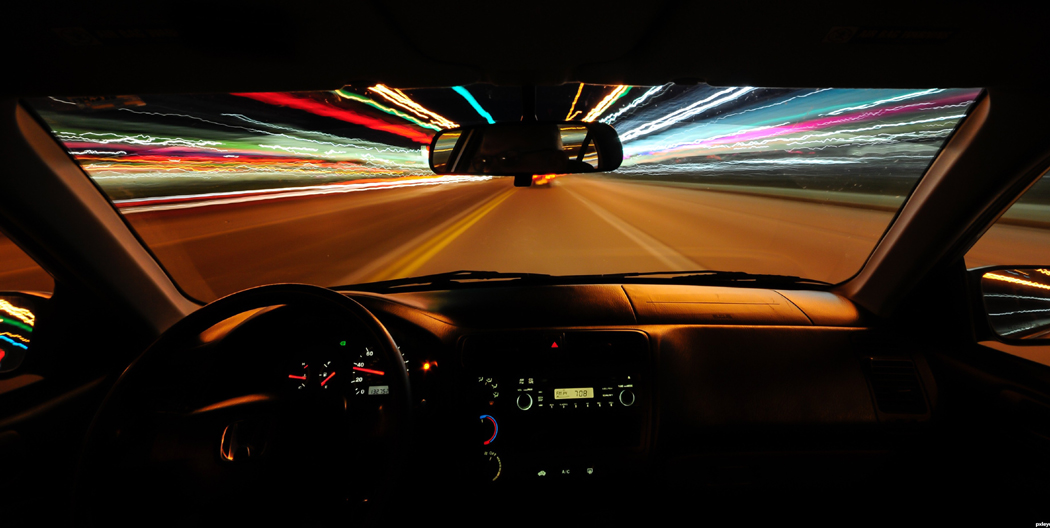
People sometimes ask me if driving doesn’t wear me down, but it doesn’t. There is nothing I find as relaxing as spending a week on the highway, watching the scenery scroll by and the sun roll around heaven all day.

I get up at 5 each morning and count a hundred miles on the odometer before stopping for breakfast. You notice the difference from one edge of a time zone to another: On the same day, 5 a.m. can be black night in Williston, N.D., and broad daylight in Pensacola, Fla., both in the Central Time Zone.driving 2 - night

It gives you a cosmic feel: You know you are moving across the arc of the planet’s edge. In Saskatchewan you can watch the grain elevator behind you sink below the horizon in your rear view mirror, like the sails of a ship dropping under the curve of the earth, just as the next elevator breaks the surface in front of you. You are always on the top of a mound that falls off to every side.

The point of this particular dash across the continent was to collect my wife, who had been visiting her mother in North Carolina, and continue on our vacation, making a great loop across the Northeast and back through central Canada.

I left the office at about 4 p.m. on Friday and drove the 289 miles to Gallup, N.M., where I stayed in a chain motel and ate supper at a tiny, empty  dive, where a Navajo woman made a great turkey sandwich.

Saturday took me from Gallup to Oklahoma City, some 725 miles. I could have gone further, but I did some sightseeing in Endee, N.M., and in Amarillo, Texas.

Sunday, I stopped for a couple of hours in Arkansas, but still managed to make 872 miles, stopping in Kingston, Tenn., just short of Knoxville.

I usually avoid the interstates, but to waste as little time as possible before joining my wife, I took I-40 most of the way, playing dodge-cars with semis, terrorizing slow-moving RVs and watching my odometer spin like a slot machine.interstate mt airy

The next day, I drove across the Smokies, up along the Blue Ridge and down into the Piedmont, managing to cruise through Andy Griffith’s Mount Airy.

There are some disadvantages to this kind of travel. Meals, for instance, are either awful or non-existent. Mostly, I keep a box of Fig Newtons in the back seat and gnosh occasionally. The entree is beef jerky bought at a truck stop; I’ve become quite a connoisseur of jerky. A liter of bottled water sits on the back floor.

When I do stop and eat dinner, it is uniformly greasy, oversalted and overcooked. And don’t even mention the salad bar.

Then, it’s into the motel room for a night’s sleep before getting up again at 5, to see the dull light in the east spread out along the fuzzy line that separates the sky and its brightening clouds from the ground below and the road that stretches toward the rising sun.

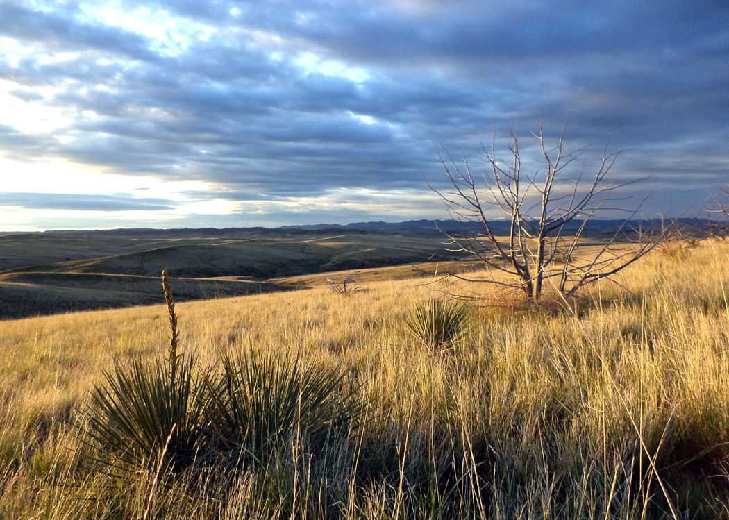
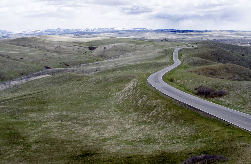
litle bighorn bluff with roadWhat you see in eastern Montana is grass, oceans of it, from horizon to horizon.

It was on this sea of grass that many of the plains tribes of Native Americans navigated in their search for herds of buffalo, and it was on this sea that the most famous battle of the Indian Wars was fought.

You can walk through the history and try to reconstruct the events at Little Bighorn Battlefield National Monument on the Crow Reservation south of Billings. On these grassy hills on June 25, 1876, George Custer died with more than 260 of his soldiers.

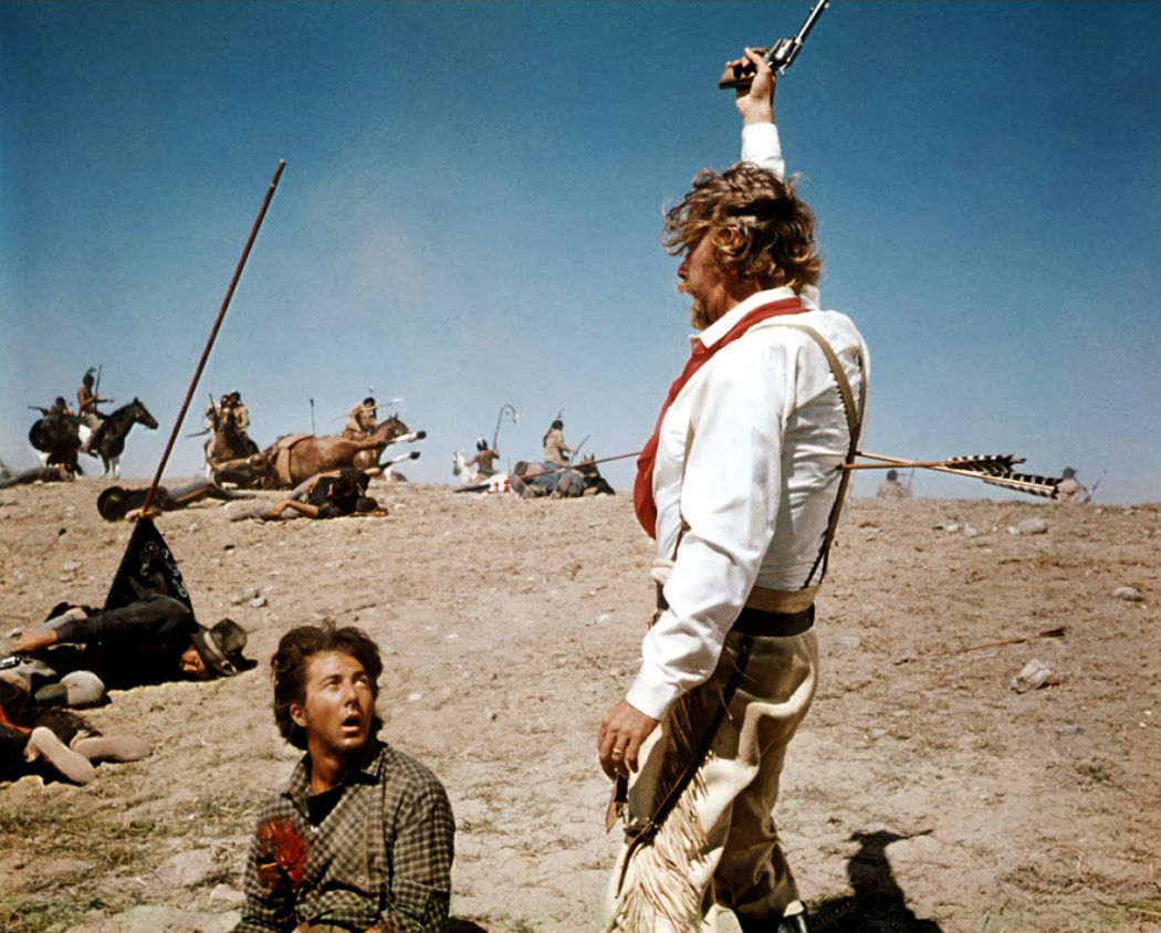
Over the years, “Custer’s Last Stand” has been the source of a great deal of mythologizing, on both sides of the battle. You have only to look at such Hollywood histories as They Died With Their Boots On to see a heroic Errol Flynn, fighting to the last with his brave men as they are inundated by hordes of screaming Sioux and Cheyenne. custer's last fight anheuser buschA famous chromolithograph, from a painting by St. Louis artist Cassilly Adams, hung in almost every saloon from 1896 to up till the Korean War. It was called Custer’s Last Fight, but almost everyone remembers it as “Custer’s Last Stand.” LIttle Big Man

In the heroic versions, Custer and his men are unundated by a sea of Indans and go down fighting to the last man.

An alternate version has taken hold since then, in which Custer is an egomaniacal buffoon who sees genocide as his ticket to the White House, and was personified by Richard Mulligan in Little Big Man.

Despite the hundreds of books and movies about Custer, none has ever resolved the contradictions of his character. Certainly, in the years just after his death, he was canonized — partly due to the propagandizing of his wife — and served as a rallying cry for those who wanted to end the “Indian problem” once and for all.

But Custer himself isn’t the only myth of the battle.

How often have you heard that there were no white survivors of the Battle of the Little Bighorn? As you drive through the battlefield, you learn the complexity of the fight and that fewer than half of Custer’s men were killed. Granted, that’s still a bloody battle, but it’s not quite the same thing as the legend.little bighorn evening

On finding the Indian encampment, Custer divided his troops into three groups and intended to attack the bivouacked Indians from both the North and the South. He took field command of one third of the forces and marched them north, along the hills above the Indian encampment.

The other two thirds of his forces, at the south end of the battle, took heavy casualties and eventually retreated to relative safety at the top of one of the bluffs on the eastern side of the river. Custer’s third of the force — about 225 men — was wiped out.little bighorn headstones

Yet, 328 men survived to tell the story, which they did to official inquiries.

Another myth is that it is the only battle the Indians ever won. That is wrong on both ends of the deal, since there were many battles won by Indians, but the Little Bighorn cannot really be counted as one of them.

The purpose of Custer’s foray into Montana was to oust the Sioux and Cheyenne from the Crow Reservation, where they were not particularly welcome, and nudge them back to their own reservations.

The battle ended when word of the approach of General Terry’s troops from the north came and the Indians decamped. Most of them wandered back to their own reservations. In other words, while the battle is remembered as a defeat for Custer, its military objectives were largely met, though such a victory is truly Pyrrhic.

You can read about the battle in any number of books, but you can’t really get the feel of it without visiting the site.little bighorn distant rain

It is a quiet place, with the hiss of wind in the grass and the buzzing of grasshoppers. The road through the park continues for about five miles, past the congested visitor’s center and along the high ridge of bluffs and coulees over the river bottom to the location where Custer’s subordinates, Reno and Benteen, held off the Indian siege for two days.

Most people hang around the monument on Battle Ridge, where small white crosses mark the places where Custer and his men fell. But if you drive to the end of the pavement, you can walk out in the grass, which curls in the breeze like white horses on the sea swell, and hear the phoebe’s song among the seedheads, and watch the approach of an afternoon thunderstorm with its dark clouds and flickering glow of lightning.

And you can get a much deeper sense of what this part of Montana was like 119 years ago, before the roads and visitor’s center, before the white crosses and shallow graves.

Shell Falls Gorge, Bighorn Mountains, Wyo
Wyoming is a flat grassy state interrupted by some of the most beautiful mountains in the country.

That includes the Tetons on its western edge, looking like mountains ordered out of central casting, with the perfect features of a Hollywood star. But there are also the Wind River range that seem to extent forever and the thorny Absorokas, high to the east of Yellowstone.

In Wyoming’s east, you find the Laramie and Medicine Bow ranges.

All of them high, stony, craggy, pine-sided cordilleras rising over the high plains like the abodes of gods.bighorn mountains 9

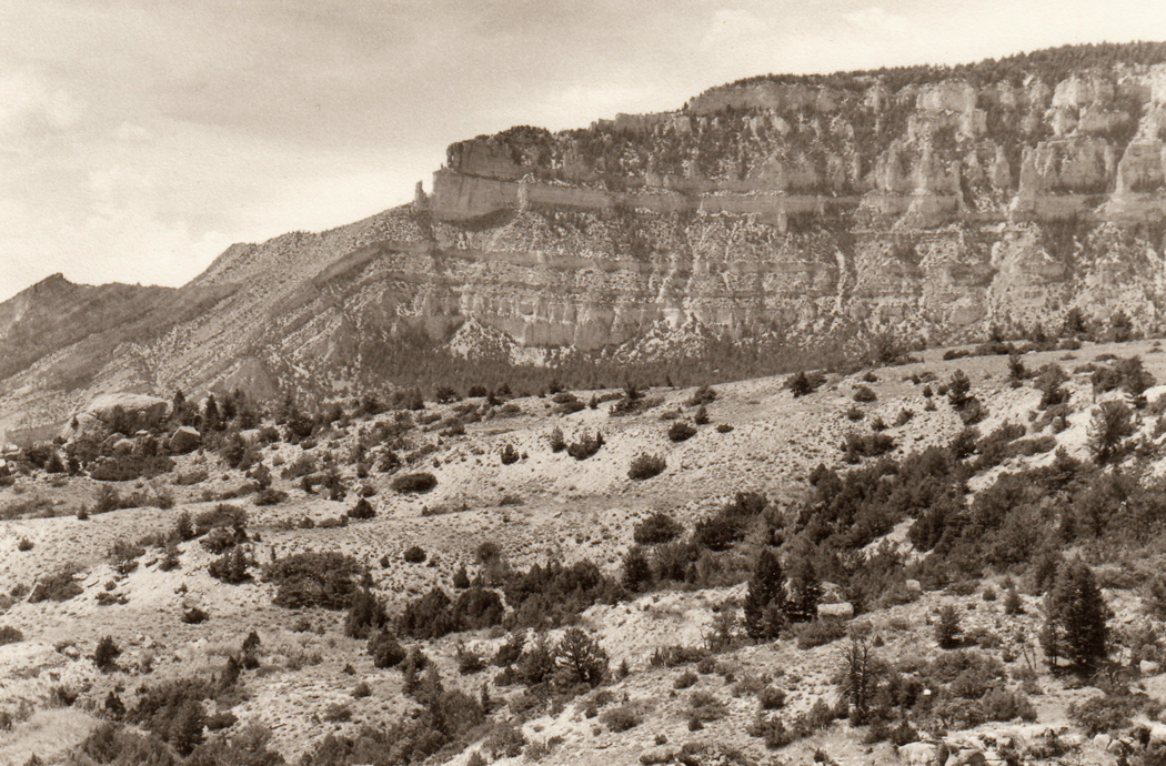
And in north central Wyoming, the Bighorn Mountains divide the state in half. Approached from the west, they are a dry range, not rain-forested like the Olympics; you see a sedimentary ridge, not a wall of frozen lava like the Sierras. They are not green or gray or blue, but are a rich orange and yellow, stratified and striped with darker reds and browns. What you see are the Cambrian, Ordovician and Carboniferous sandstones and limestones. They surround a central core of granite that you only see as you climb to the high plateau and cross Granite pass at 8950 feet.

Along the way, traveling from Greybull, you drive up the Shell River Canyon and its waterfall. And when you reach the top, you don’t find a peak to descend from, but a 30-mile wide plateau of trees and lakes, unimagined from the grasslands below.

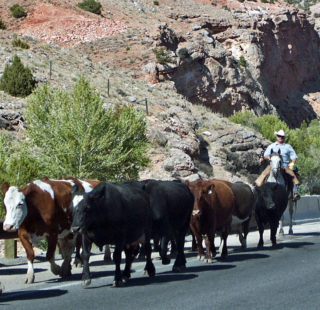
As we followed the plateau top across the range, we passed a cattle drive. Slow, lurching cows wandered distractedly across the narrow road. The look in their eyes gave me a new etymology for “vacant,” from the Spanish “vaca” for cow.bighorn cattle

The kine stumbled off the road on both sides, some climbing the rocky hill to our left and some dangerously nearing the edge of a cliff that dropped into the wide canyon to our right.

Cowhands on horses herded the cattle back onto the road — all an extremely slow process. Traffic was snarled and it was almost like being on the Santa Monica Freeway at rush hour. Well, not quite. There were only two or three cars, bumper to bumper, but the thick cattle traffic was nose to tail.

The road was a bakery display case of cow pies.

We wondered about the men on horses, how they had their bedrolls tied to the back of their saddles, and whether they really did have to spend the night under starry skies boiling coffee in tin pots and sleeping to the sounds of lowing cattle.

Among them were several small children riding horses and watching their daddies at work.

One blond, tow-headed youngster in front of our car was hardly bigger than the saddle horn on his saddle.

There was a relaxed, even lazy festive air about the job at hand, as though it were a community project forced to work at the cows’ pace.

The men were dry-faced workers with oily hats and tattered shirts, the extreme opposite of the drugstore cowboy. There were no shiny 10-gallon stetsons, no arrow-ribbed shirt pockets, no fringe, no buckskin, and no shooting irons on their hips.

What there was was flies, horse sweat, the squeak of leather saddles and the muffled clop-clop of hooves on pavement.bighorn mountains 2

When we asked, we learned that the cows were being herded up the mountains to their summer pastures on the plateau.

The mountains that were so rocky and rugged seen from the west, in fact did become a plateau and we drove for nearly an hour across the summit of the Big Horns, past those forests and lakes.

So, when we reached the eastern escarpment, it was a shock to see the land stretch out under us as flat rangeland, semi-desert again for as far as the eye could see.

humboldt redwoodsAt a pull-off along the Highway of the Giants in the Redwoods of Northern California a lumbering, topheavy RV pulled to the side of the road and stopped. Its driver got out, walked to a spot about 25 feet behind the vehicle, raised his camera, snapped one picture, got back in and drove off.

I’d seen many people line the wife and kids up against a scenic backdrop, or ask Aunt Emily to smile in front of the Grand Canyon, but this was the first time I’d seen anyone take a picture of his truck.

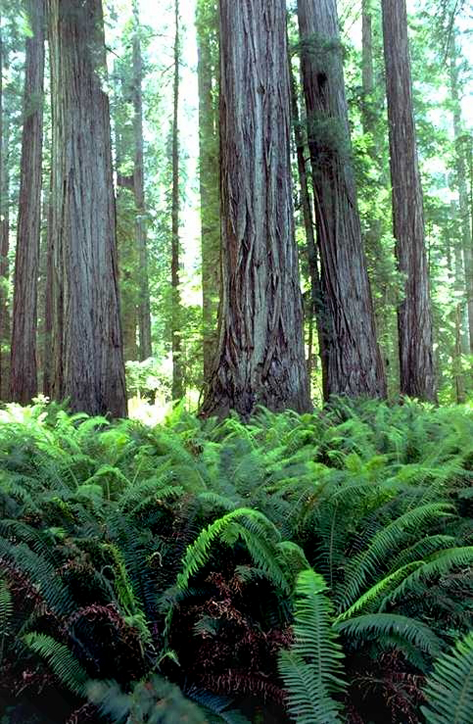
In a way, it made sense. The redwoods are notoriously difficult to photograph. They seem like they’d make wonderful subjects: They are green, tall, impressive and make their own weather. But they only grow in the lowlands and river bottoms and are surrounded by dense hills. There is no way to step back and get them all in perspective. Heck, there is no way to step back and get them all in the viewfinder. One has to be satisfied with bits and chunks of tree trunk surrounded by ferny growth.redwood ferns vertical

And even that is disappointing photographically. I set up my camera at an especially impressive trunk, maybe 15 feet in diameter, covered in green moss. In front of it were the biggest ferns I had ever seen in my life, with fronds that were six feet long. I looked at them carefully in my viewfinder, with my camera set on a tripod. I groaned. Since everything was of the same immense scale, the picture looked like an ordinary patch of ferns in front of an ordinary tree.

The only solution is to put something whose size you know in front of the tree, something like the wife and kids — or your RV.

As an aside, I want to mention the obsessive proclivity of the West Coast states for naming every Department of Transportation speed bump in memory of someone. The Muriel O. Ponsler Memorial Wayside was little more than a widening in the road so cars could pull over and see the ocean. There is the Joseph and Zipporah Russ Memorial Grove in the redwoods. The habit is essentially harmless, but it helps if you pay attention to the name you are commemorating. We soon passed over a bridge named for Elmer Hurlbutt. The Hurlbutt Bridge: Someone was asleep at the switch when that got named.zion tourists

But what I meant to talk about when I started writing this column was why people make photographs when traveling. The answer seems simple at first: They make pictures to help them remember the trip, or so they can show their friends that they were, in fact, to the redwoods or the Grand Canyon.

But after years of watching people raise their Nikons to their eyes, I am not so certain anymore that the pictures are always aids to memory.

Because the pictures are made so offhandedly, and their makers so quickly jump back in their RVs and drive off to the next natural wonder, I believe they must use the photographs instead as a substitute for memory.

Instead of really experiencing the woods, with its dripping humidity and spongy forest floor, its green smells and muffled silence, they use the camera to arrest a slice of vision that they can take home and dissect, using the image rather than the trees as their primary experience of the redwoods.
It may be that we have become so acculturated to the television reality that the aromatic reality of primary experience no longer retains its validity. It must be transmuted into a Kodak moment — metamorphosed from sense experience to media experience — before it is taken seriously.

But, more likely, people have always done the same, zooming past the magic to chalk up another name on their life list of scenic destinations.

In 1937, long before television became the central fact of American life, photographer Edward Weston was using his huge, cumbersome 8-by-10 camera to photograph Zabriskie Point in Death Valley. A car pulled up with three German couples, among them were six cameras — “One woman had none, but one man had two.”

“The five enthusiasts lined up, focussed on the same view, decided on the exposure, made the picture. Four of them lined up at the other side of the turnaround, made a second picture in unison. Then they climbed back in the car and drove away.”

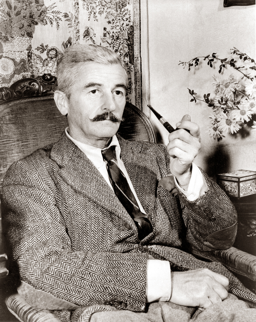
oxford red clay roadIn northern Mississippi, where the iron-rich clay is the color of a hunter’s vest, the town of Oxford sits in the middle of Lafayette County in exactly the same central position as Jefferson sits in the middle of William Faulkner’s fictional Yoknapatawpha County.yoknapatawpha map

Faulkner’s fictional county began in the 1820s with the first white settlers and an Indian named Doom. The real Oxford was founded in 1833; 11 years later, the University of Mississippi opened for business. There are many similarities between the fiction and the reality, and not the least of them is the way progress seems to have obscured the the old ways that Faulkner felt were the heart of the South.

The town of 20,000 still radiates out from the central square, where an old, large courthouse still stands and is still the central political and legal fact for the county.

But unlike Jefferson, Oxford is a college town and the existence of Ole Miss changes the equation radically. For one, there are bookstores in Oxford.William Faulkner

And, when you stay in the motel at the edge of town, the nearest restaurant serves Orange Roughy with Cilantro Salsa — an Eastern attempt at Fish Veracruz — and Pork Chops Stuffed with Morel Mushrooms and Pine Nuts.

And what is worse, the trendy, warehouse atmosphere with its scrubbed concrete floor and unfinished wood handrails, is home to waiters brandishing pepper grinders, who say, “Good evening, my name is Brian and I’ll be your server tonight.”

So, it can be disappointing, if you go to Oxford to find the flavor of the Compsons, Sutpens and Snopeses.

The courthouse square, where the town used to buy its dry goods, hardware and groceries, now houses restaurants, sportswear shops and a very fine bookstore with a very fine section of Faulkner first editions. square books interiorUpstairs is a coffee bar and tables, where students and tourists mix while reading the morning paper over a cup of hazelnut mocha.smitty's sign

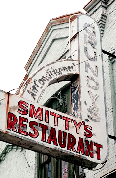
But if you could walk back in time just a few years, you would find a little shopfront cafe called Smitty’s. In the early morning, it would be filled with courthouse lawyers and snappy waitresses, drawling conversation accompanied by the music of clinking glasses being racked in the kitchen.

At Smitty’s, the waitress still called you “Honey,”’ and meant it. The biscuits were still smothered in white sausage gravy and the buttered grits were always salted and peppered.

And the weathered faces of the Old South still gathered for their morning cup of coffee and the local gossip.

When I was there once, in 1994, one particular and dignified gentleman caught my eye. He must have been 75, with thin white hair combed so the furrows left by the comb were clean lines. He wore a striped tie and a dark blue suit that his frailing limbs couldn’t quite fill out anymore. He also wore bifocals and talked in that sweet, subdued aristocratic drawl.

He was natty in a way only very old, very respectable Southern men can be.

At first, he shared the next table with three other men who we learned were lawyers from the courthouse. The blue suit was a judge.

But more and more men filed in and eventually, they all gravitated to one wall, where several tables were lined up end to end. There must have been 20 or more lawyers, all talking and laughing and keeping each other amused with good ole stories and friendly joshin’.

The judge sat dead center at the row of tables, the obvious center of gravity. The surrounding lawyers looked almost like apostles at the Last Supper.

The old man might as well have been Judge Sartoris. He could have come straight from the pages of Sanctuary or Intruder in the Dust. You could sense he knew not only everyone in town, but knew their granddaddy.

But there were also things that had changed: A few of the lawyers were black.la paz oxford

Smitty’s is gone now, replaced first by a yuppified eatery called 208 South Lamar, after its street address, and currently by a Mexican restaurant.

But even with the changes — in some ways, Oxford is impossible to tell from any other university town, whether Chapel Hill, N.C. or Charlottesville, Va. — but the building now occupied by La Paz, formerly 208, formerly Smitty’s, and before that Grundy’s, and before that other bars and restaurants, was built in the 1880s, and despite the frequent facelifts, the past is still there underneath.faulkner's typewriter

Those who don’t understand it laugh when you tell them that in many ways, the South is more civilized than any other region in the country. They shouldn’t. While the rest of the nation is fragmenting culturally, the South is holding on, however tenuously, to the culture and history that made it what it is and that Faulkner chronicled.

In New York, history is a subject taught in school; in Mississippi, history is your grandfather.

effigy mounds fogThe Mississippi River on a crisp fall morning can be very beautiful. Between Wisconsin and Iowa, it is several miles wide and frosted with a thick layer of steaming fog. You can see that the sun is trying to break through, but it hasn’t yet and the trees on the river islands are a silvery gray silhouette; the water is a mirror.

And above the river on the Iowa bluffs just north of the bridge at Prairie du Chien, Wisc., there are relics of prehistoric Native Americans.mississippi river effigy

Effigy Mounds National Monument is a 1,475-acre park that preserves over 200 prehistoric Indian mounds, dating as far back as 2,500 years ago. Among them are 26 built in the animal-cracker shapes of bears and birds, only visible as such from the sky.

Indian burial mounds are found over much of the United States; effigy mounds are found in a relatively small area in northeast Iowa, southeast Minnesota and southern Wisconsin.wisconsin tree beside mississippi

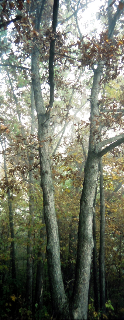
It’s a steep climb from the parking lot to the top of the bluff where the animals are. On a chilly, foggy morning, you breath condenses on your face. There are only the near trees and the wildflowers.

Oaks and maples make up the bulk of the trees, but there are also red osier, basswood and hickory.

The sumac is intense maroon; the maple a neon orange; the oak is the dark, brownish red of dried blood.

The understory is full of joe pye weed, queen anne’s lace gone dry and dark, and the last glories of aster.

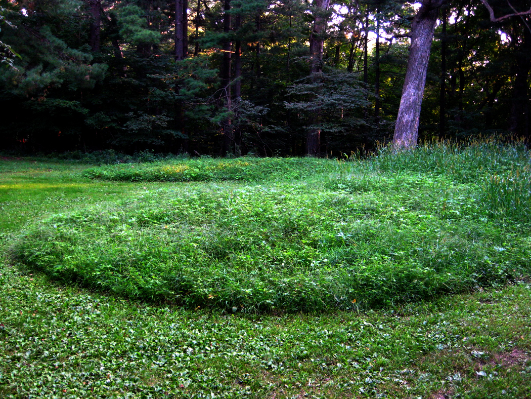
The first “animal” you see at the top is a tiny bear, only a few feet long, spread out in profile on the ground with his nose to the left and round butt to the right. If it weren’t pointed out, you might easily miss it in the generally rocky, bumpy topography. But there he is; his function is unknown. It isn’t a burial mound, although those exist, too. He may have had some ceremonial purpose that we’ll never know.Bear Mound 1

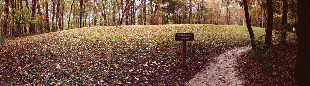
Other mounds are simply round, conical mounds from the so-called Hopewell culture. They are all initially disappointing. They don’t seem like much more than bean hills.Great Bear Mound pan

And then, finally, the Great Bear, some 120 feet long, although only three or four feet tall. His outline is quite clear, however: Two legs, a long body with a blunt head at the end.

Yes, this bear is long, but he’s still only a 3-foot-high pile of dirt covered in grass.

We live in a world whose yardstick is produced by Steven Spielberg. If it doesn’t sing and shout or have fireworks, we fail to be impressed. So I sat, for a long time, soaking in the bear and the wet air. The longer I looked, the more intriguing the mound became. Why a bear? And all the other bears look to the left, so why is this single giant bear turned in the opposite direction? Who was supposed to see it? Were there trees blocking the view of the gods then as there are now? And if they had meaning when they were made, what is their meaning now?aerial view 1

There are many odd and inexplicable things in human experience: Whirling Dervishes; the Hindu Juggernaut; the Republican budget. This bear is among them, though in a very quiet way, sitting silently in the Midwestern forest.

I sat for an hour in the woods and didn’t recognize the passing of time.

Our lives are lived in Twitter time, with gnat-like 140-character attention spans. But the things that matter live in a different now, one that moves very slowly and pays little attention to the gnats.

The mounds have been here a long time; the trees even longer; and the rocks even longer than that.

Such a time frame is important to experience on occasion.

coal town wv
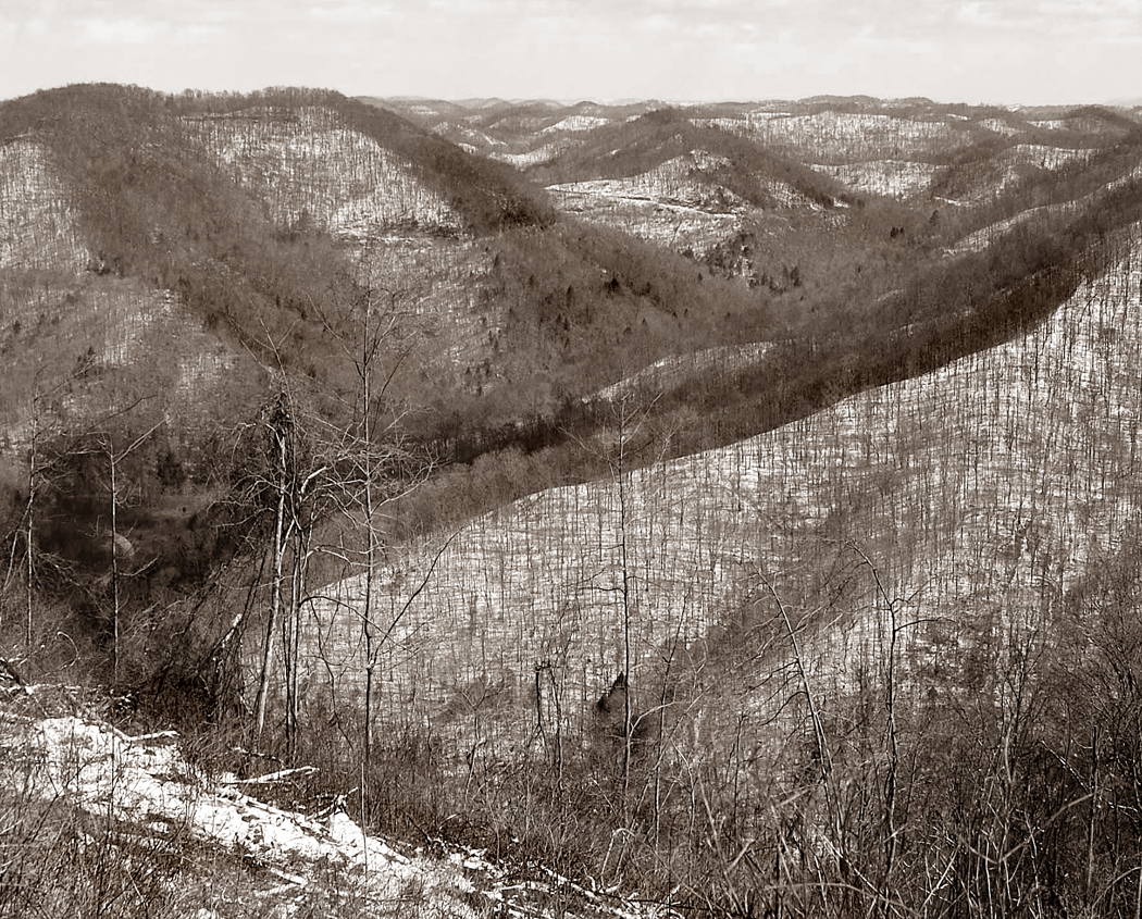
The view from the top of the mountain gives you the conventionally Romantic view of the landscape, the long view, closer to heaven and further from the streets. The view is pristine, and the tiny ants below, with their Ford Pintos and 7-Elevens, hardly muck up the scene.

It is the Romanticism of Caspar David Friedrich, of Frederic Edwin Church, of Albert Bierstadt and the landscape stands in for a kind of vast, sublime Eden.

This is the view of West Virginia promulgated by its official state song: “Almost Heaven.” And it isn’t that such a view is false. It isn’t false — there really is great beauty in the mountainscape of the state as seen from its peaks — but it is partial. Conversely, it is easy to see the bottoms of the mountains as some sort of dystopia: the epitome of Appalachia and its poverty, meth use, grime, coal-mining eco-disaster and educational malaise. coal tipple wv bw

But there is a Romanticism of the hill-bottoms, too. I don’t mean a nostalgia for the black-and-white WPA photographs and the “simpler, old-timey folksiness.” That kind of Romanticism is a refusal to recognize reality. That isn’t really Romanticism, it is escapism.

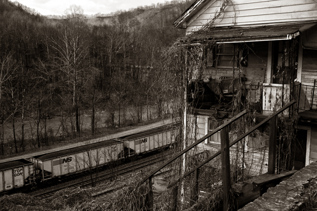
No, I mean that the soot, the coal trains, the sludgy stream in the mountain cove, the old homes, with their collapsing porches and front yard full of automotive detritus can elicit their own sense of the sublime.

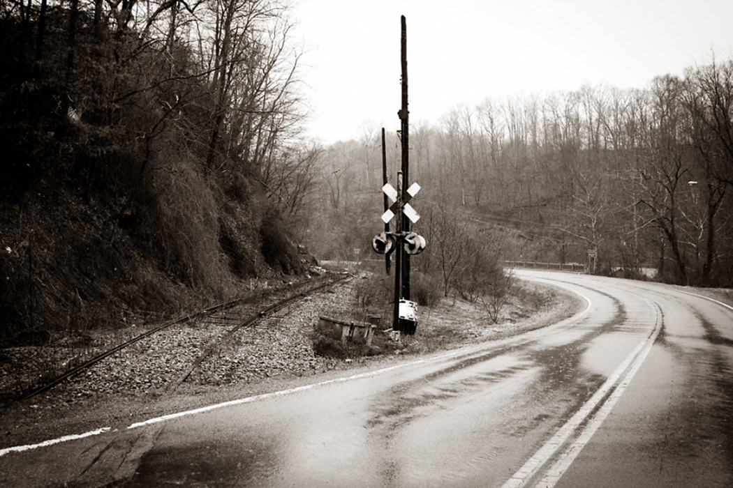
You drive through the valleys of West Virginia coal country, around the impeding hills to the next valley and you pass grade crossings, coal tipples, rusting car frames half submerged in the streams, and lines of houses just up the hill from the road. Next to the road is the railroad track and next to that is the stream, all following the same geography. appalachian plateau BW cropped

The central part of the state, the Appalachian Plateau, is a weathered peneplain, where all the mountains are rounded bumps all about the same height, like the mountains children put into their tempera paintings, one seen in between two others.

It is primarily in these mountains that coal is mined. And in those valleys, crossed with a braid-work of streams, railroad tracks and roads, that most people live and work. Pocohontas wv

In the south, you have McDowell County, a center of coal production country spreading into Kentucky and western Virginia. The collapse of the industry means that the population is one-fourth what it was in 1950, poverty is rampant, and for those men that remain, the average lifespan is the lowest in the U.S. — 12 years shorter than the national average.

In the plateau region, which is what most people think of as “typical” West Virginia, the roads meander through the V-notches between the hills; it is impossible to drive in a straight line anywhere. You are always curving around some mountain into the next valley and around the next mountain.

Until the opening of the West Virginia Turnpike and I-77 and I-79 (work not completed until 1987), traveling anywhere in West Virginia was a slow and tortuous process, and locations not a hundred miles apart as the crow flies, could be more than 250 by car. Aside from the chute-the-chute of the Interstate system, driving in the state is still pretty much a slalom. bradshaw wv

In the small towns, smeared longways along the streams and tracks, the hardware stores and groceries have largely been supplanted by Dollar Stores and coin laundries, and the largest private employer in McDowell County is the Walmart. There are satellite dishes — many dangling and unhooked. The macadam at the gas station is potholed and the store sign advertises prices for cigarettes by the carton.

But, despite this triumph of entropy, the landscape has significance. It has meaning: Just ask any who live there. They may be needy to escape, but if they leave, they pine to return. It is a landscape that gets under your skin, like coal dust gets under your fingernails. keystone wv night coal mine bw

It is a mythic landscape, not a pristine one. It tells us things about the universe and about life.

It is a landscape with its own hell: underground fires that can last decades and at night glow red and orange like the combustion of hell. Some count over 500 such fires in West Virginia. Avernus may be the gate to the underworld for the ancient Romans, but it is West Virginia in the New World. coal train and house

The slow rusting of old refrigerators and Chevys, and abandoned buildings overgrown with weeds and vines, their glass broken out and now enameled with spray-can art, and the closed factories, with lines of smokestacks — these all tally the losses, the sucking down into the past of the present, spinning like water around a drain before disappearing into oblivion. This, too, is sublime. We feel it more in places like West Virginia; it is instantly visible.

Also, because the land is littered with the obsolete and abandoned, you can see them, can pay attention. In suburbia, familiarity has dulled our senses and we hardly notice the clapboards, the street curbs, the cars in the shopping center parking lots, the school buildings, the very trees that line the roads. They are there to be seen, but who actually looks? coal train in rain bw

In this moonscape of detritus, waste, loss and forgetting, the details are burned once again into us, made unfamiliar by rot and decay, so we can see them again. The very “thingness” of each chesspiece on this gameboard of depletion makes them palpable and gives them presence, and presence imbues meaning — significance.

There is a difference between the pretty and the beautiful. Postcard sunsets and green mountain vistas are all pretty enough, but they distract us from the essential facts; they are a magician’s misdirection, keeping our eye from the real thing. As Tom Robbins wrote, “The ugly may be beautiful; the pretty, never.” The real thing is our gaze into the eye of eternity, and you get that from contemplating anything bigger, vaster, scarier, more overwhelming than yourself. coopers wv grad crossing

Yes, you can look at the old tires and relic houses and see only a failed economy, but you look instead at the passing of time engraved on those same objects and you see intense beauty.

Appalachian Plateau wv 1I am standing on a peak in West Virginia. It is New Year’s Day and it’s 6 o’clock in the morning; the sun has not quite risen and the moon has not yet set. All around me on the ground, a rime has crusted the brown grass and it crunches under my foot. My breath fogs the air in front of me and congeals on my beard. The cold burns my trachea and numbs the flesh of my nose.

It is an experience that is etched by acid into the neural paths of my brain. It is one of those “peak” experiences that seems somehow more real than real, more alive than the light of day.

As the sun rises in the icy cold, streaking the mountain landscape with long morning shadows, I recognize that this is why I travel.

There is a “nowness” to this particular now that does not attach to any other. A placeness to this place. And my recognition of that nowness is a stronger stimulant than caffeine.

I am a traveler; I have been all my life. When I was a little boy, I couldn’t wait for my father to pull the keys to the ’50 Chevy out of his pocket and ask if I wanted to come with him. When other children slept in the back seat, I was always awake and wide eyed.

As a college student, I took the time between semesters to hitchhike to places I had never been. I wanted to know the planet.

And ever since, I am mad to find where the road goes next.

And the reason is the nowness of it, and the placeness.

You can see pictures in coffeetable travel books and watch PBS travel shows, but nothing compares to the physical, sensuous actuality of being there.

Travel is more than just dates and destinations, more than admissions fees and show schedules. Travel is about being somewhere, and that somewhere is always more alive than the place you have grown accustomed to.

It is the particular neon red color of the dirt in northern Mississippi; the waterfall of clouds over the crest of Table Mountain in Capetown, South Africa; the whoop of a loon on Daicey Pond in Maine.

Each of these is a dart that deflates the complacency of everyday living, which insulates me like a skin, and brings my bones into direct contact with the air.

I have known people for whom travel is a mere change of venue: the same show every night in a different city. For them, getting in a car is like getting in an elevator. They are impatient for the movement to stop so they can get on with whatever task drove them in the first place.

But it is not that way for me, or for anyone else who loves travel. I don’t mean “vacation” and I don’t mean mere tourism, though they may be aspects of the travel.

I mean the buzzing of the neurons that comes from pulling in to Kayenta in the late afternoon to see shadow-black excite the texture and sunlight-red excite the color of the bluffs, so that a small patch of green grass where some horses graze seems electric under the ruddy rock.OLYMPUS DIGITAL CAMERA

It is the early morning dew dripping from the pistils of a rhododendron along the Appalachian Trail in Virginia where the path is lined with geraniums, maypops and pinks.

It is also the bus fumes at the 175th Street bus terminal at the end of the George Washington Bridge, and the quickened pace of life in New York City.

Habitual life desensitizes us. We wake, we go to work, we eat and sleep. We wade through a week that is much like the last. Travel awakens us and reacquaints us with the pinpoint accuracy of the now and here.

And being there, wherever it is, is the very point of being alive.

NEXT: West Virginia, Part 2 — At the bottom of the mountain

o'keeffe road to the ranch 2Our eyes are the great nexus between the inner and outer worlds, where the outer existence pours into our consciousness as if funneled through our irises, and where, conversely, our inner selves are projected, like a light-beam, out onto the world. Neither is sufficient of itself, but together, they create our sensibilities.

vision x 1

It is a great “X” where the two lines cross on our retinas and expand outward into the landscape on one side, and inward onto our cortex on the other. Which open angle of the “X” subsumes the larger extent has been the subject of philosophizing for thousands of years.

(This is not meant as a scientific description of the physiology of sight, but a metaphor for vision.)

Andrew Marvell summarized this process, albeit in his witty turn on a once-familiar Elizabethan trope, in his poem, The Garden, where he creates an image out of this “X:” “The mind, that ocean where each kind/ Does straight its own resemblance find” and then goes on to say how that interchange is always colored by the mind that perceives: “Yet it creates, transcending these,/ Far other worlds, and other seas; Annihilating all that’s made/ To a green thought in a green shade.”

Which is all a long, roundabout way of saying that landscape — the world around us: geology, geography, our neighborhoods, even the interior of our homes — is never neutral, but always has meaning. It is this meaning that makes the land we inhabit so important to our intellectual understanding of the world.

We can easily misunderstand “meaning.” It does not stand for the equals sign in an equation: this means that; but rather we should understand “meaning” as “significance,” as when we wake up from a dream thinking “that dream meant something.” We may not know what the dream meant, but we are left with the distinct conviction that it had significance. This significance — this meaning — is the electrical power that charges myth and makes it glow from the inside.

The land, as we perceive ourselves living in it, is a projection of ourselves, as much as we are a product of it. robt lee 1

It was the land he grew up in that Robert E. Lee felt compelled to defend in the Civil War. The causes and results of that war are manifold, and the self-interest of slave owners should not be underplayed, but when Lee discussed his motives, it was his patriotism, not for the Union, but for the single commonwealth of Virginia that drove his actions: and it was the landscape he grew up in that fueled that sectional patriotism. (Again, this is not to justify Lee or the Confederacy, but to understand how much the landscape he grew up in defined his vision of what the world was and should be). Yoknapatawpha.County map

The landscape informs almost every important piece of literature, from the Mediterranean upon which Odysseus sailed to the woods of Yoknapatawpha County that Faulkner populated, back to the snowy steppes of Russia in War and Peace and forward again to the Pennsylvanian suburbs of John Updike.

It is not merely that the action in a novel or epic has to take place somewhere, but that the land itself becomes a character and influences the lives and thought of all who inhabit it.

The land we inhabit in life has the same kind of metaphorical power that it does in literature. In some ways, we each live in the novel (or epic) of our own lives, and the characters in our personal novels all have meaning to us, including the land we tread.

That mythic force is why we feel the rise in our throats when we sing of “amber waves of grain,” and “purple mountains majesty above the fruited plain.”

Our ur-landscape also provides a model of the wider world, which can influence our thought, emotions and political views, even when that landscape gives us distorted information. If we live in a city, we tend to think of the world as thick with people who have to get along to survive; if we grew up in Wyoming, we are more likely to see the world as mostly empty, and our interactions with others as less important, and often intrusive, and our survival dependent on ourselves alone. Conversely, those interactions in the rural West tend to be understood more personally, while in the bustle of New York, you must create some private space among the throng, and therefore can seem more impersonal to a neutral observer.

In the city, horizons are blocked and the space in which we understand ourselves to be acting is constricted; in the American West, horizons are planetary, and we believe ourselves to be actors in a vast scheme. The mythologies that develop in such places are vastly different.

Manhattan and Wyoming are just two extremes, but each landscape provides its own influence, has its own meaning.

It isn’t a question of right or wrong, but of partial visions, each partly distorted, partly clear. The Georgia farmer and the Maine lobsterman or the Cuban immigrant in Miami don’t merely see their home towns and counties as different, but project those differences out into the rest of the country (there is a reason our so-called “red states” and “blue states” are organized geographically) and onto the rest of the world, including the Middle East, Putin’s Russia and expanding China. It is an unavoidable provincialism. Travel is the cure.

Not merely that travel introduces us to other peoples, but shows us other soil, and other relationships to that soil. Landscape has great power.

It is to seek this power that great landscape artists — whether painters or photographers — make their pictures. It is not to make a postcard of a pretty piece of scenery, but to find in the land a metaphor for thought, emotion or state of mind — or even a political philosophy.

I am reminded of a passage in Hector Berlioz’s memoirs, where he says, “It is like the visitor who go up into the colossal statue of San Carlo Borromeo in Como (Italy), and who are amazed to discover the room where they have just sat is the inside the saint’s head.”clearing storm winter

And one is surprised, looking at Ansel Adams’ Clearing Storm Winter, Yosemite, that the view is as much inside one’s head as it is of the outer world. That is, that the scene feels in some way a perfect metaphor for the imagined landscape inside the skull, including a floor, a valley with borders, a tall ceiling or sky, and lots of weather. “That’s my brain,” I say looking at the photograph.yosemites postcard 1

But, of course, the land isn’t always that dramatic, always that Romantic. Indeed, Adams’ photographs can easily drop into the picturesque, like some supremely crafted post-card image. And it isn’t only the great mountains of the West that have meaning in landscape art.

The other great Adams in photography, Robert Adams, can photograph a street in Los Angeles or the flat plains of Nebraska and find a way — to quote him from his book, Why People Photograph — “to affirm life without lying about it.”Hopper

Telling the truth, however, isn’t the same as reporting the fact. The truth of how land creates meaning is obvious in the paintings, say, of Edward Hopper, where the raking light of early morning gives New York City a glowing loneliness that says something more truthful than merely transcendence in the light or the alienation of the empty street. There is both. The disjunction gives the painting its power.

I remember the first time my wife and I drove out West. We both grew up in the East, with its forests and slope-shouldered hills, with its rivers and streams, its highways and billboards. But as we drove, the landscape slowly became less and less familiar as the trees thinned out and the hills flattened into the billiard table of the Texas panhandle. Then, suddenly, the bottom dropped out of the world, right at the New Mexico border and we descended from the tableland into a land of buttes and mesas in the Canadian River basin. The ground was dun and gravelly and we realized for the first time that the landscape of the Warner Brothers Roadrunner cartoons was a real landscape, and that all those tall buttes didn’t so much rise up above the land, as that the land dropped away from the peneplain into vast miles of valley, with the buttes as remnants of the former geology. It wasn’t merely a change in scenery, but a completely different world.
Monument Valley mittensAs we traveled around the country, we kept finding new worlds, and each new world was a new birth for us, a new awareness of the variety of meanings and significances of the planet.

NEXT: West Virginia