Archive

Tag Archives: travel

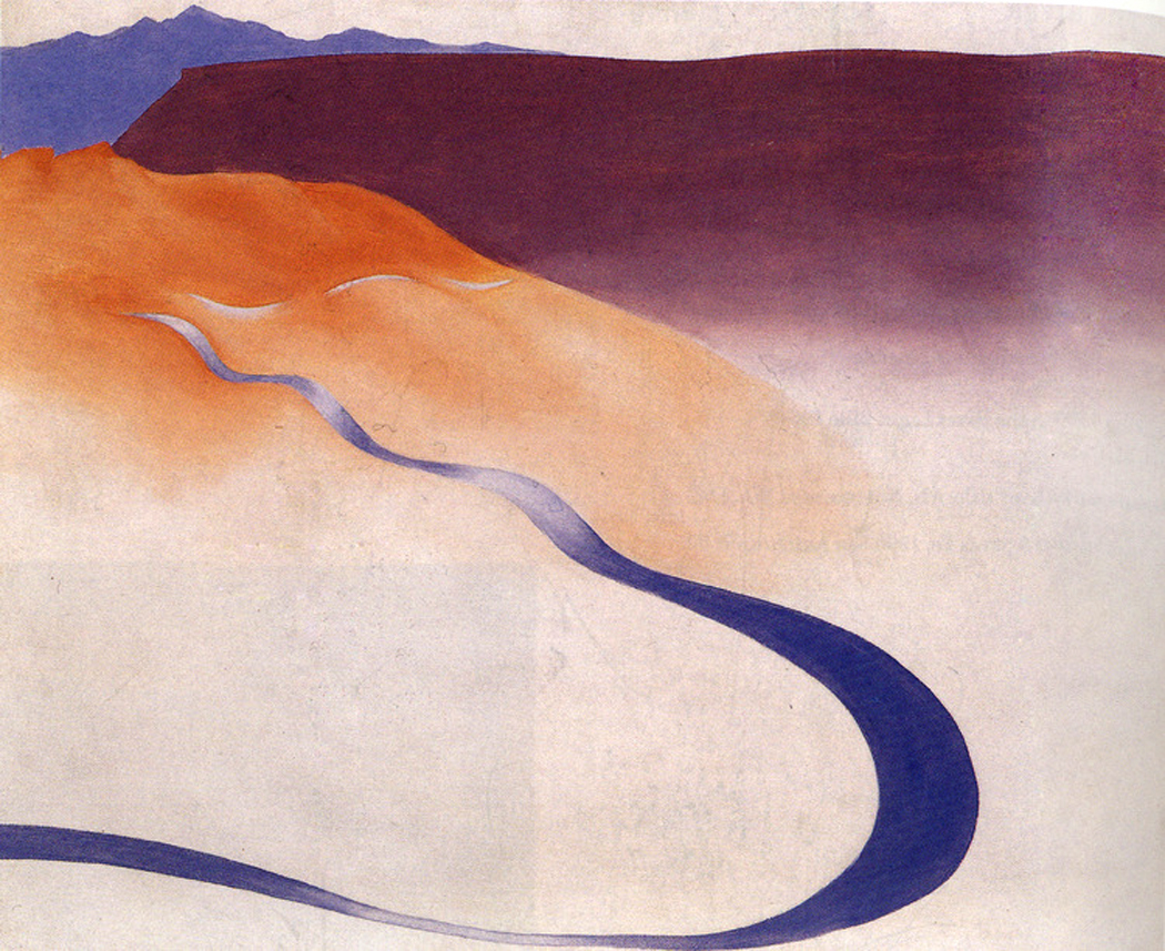
o'keeffe road to the ranch 2Our eyes are the great nexus between the inner and outer worlds, where the outer existence pours into our consciousness as if funneled through our irises, and where, conversely, our inner selves are projected, like a light-beam, out onto the world. Neither is sufficient of itself, but together, they create our sensibilities.

vision x 1

It is a great “X” where the two lines cross on our retinas and expand outward into the landscape on one side, and inward onto our cortex on the other. Which open angle of the “X” subsumes the larger extent has been the subject of philosophizing for thousands of years.

(This is not meant as a scientific description of the physiology of sight, but a metaphor for vision.)

Andrew Marvell summarized this process, albeit in his witty turn on a once-familiar Elizabethan trope, in his poem, The Garden, where he creates an image out of this “X:” “The mind, that ocean where each kind/ Does straight its own resemblance find” and then goes on to say how that interchange is always colored by the mind that perceives: “Yet it creates, transcending these,/ Far other worlds, and other seas; Annihilating all that’s made/ To a green thought in a green shade.”

Which is all a long, roundabout way of saying that landscape — the world around us: geology, geography, our neighborhoods, even the interior of our homes — is never neutral, but always has meaning. It is this meaning that makes the land we inhabit so important to our intellectual understanding of the world.

We can easily misunderstand “meaning.” It does not stand for the equals sign in an equation: this means that; but rather we should understand “meaning” as “significance,” as when we wake up from a dream thinking “that dream meant something.” We may not know what the dream meant, but we are left with the distinct conviction that it had significance. This significance — this meaning — is the electrical power that charges myth and makes it glow from the inside.

The land, as we perceive ourselves living in it, is a projection of ourselves, as much as we are a product of it. robt lee 1
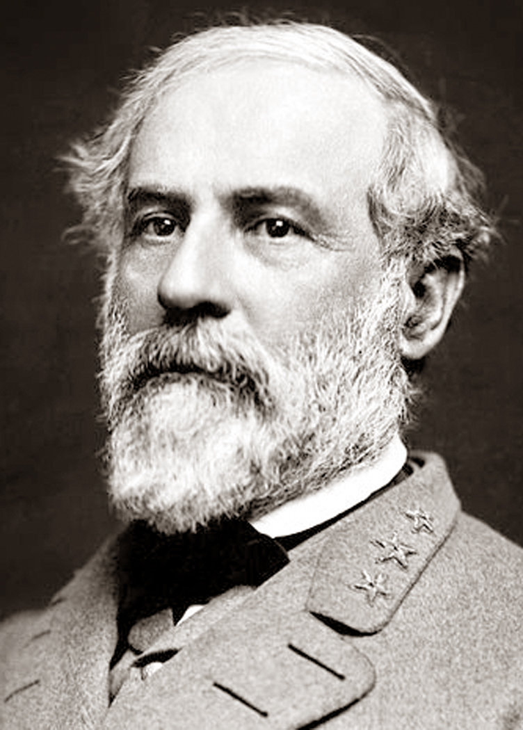
It was the land he grew up in that Robert E. Lee felt compelled to defend in the Civil War. The causes and results of that war are manifold, and the self-interest of slave owners should not be underplayed, but when Lee discussed his motives, it was his patriotism, not for the Union, but for the single commonwealth of Virginia that drove his actions: and it was the landscape he grew up in that fueled that sectional patriotism. (Again, this is not to justify Lee or the Confederacy, but to understand how much the landscape he grew up in defined his vision of what the world was and should be). Yoknapatawpha.County map

The landscape informs almost every important piece of literature, from the Mediterranean upon which Odysseus sailed to the woods of Yoknapatawpha County that Faulkner populated, back to the snowy steppes of Russia in War and Peace and forward again to the Pennsylvanian suburbs of John Updike.

It is not merely that the action in a novel or epic has to take place somewhere, but that the land itself becomes a character and influences the lives and thought of all who inhabit it.

The land we inhabit in life has the same kind of metaphorical power that it does in literature. In some ways, we each live in the novel (or epic) of our own lives, and the characters in our personal novels all have meaning to us, including the land we tread.

That mythic force is why we feel the rise in our throats when we sing of “amber waves of grain,” and “purple mountains majesty above the fruited plain.”

Our ur-landscape also provides a model of the wider world, which can influence our thought, emotions and political views, even when that landscape gives us distorted information. If we live in a city, we tend to think of the world as thick with people who have to get along to survive; if we grew up in Wyoming, we are more likely to see the world as mostly empty, and our interactions with others as less important, and often intrusive, and our survival dependent on ourselves alone. Conversely, those interactions in the rural West tend to be understood more personally, while in the bustle of New York, you must create some private space among the throng, and therefore can seem more impersonal to a neutral observer.

In the city, horizons are blocked and the space in which we understand ourselves to be acting is constricted; in the American West, horizons are planetary, and we believe ourselves to be actors in a vast scheme. The mythologies that develop in such places are vastly different.

Manhattan and Wyoming are just two extremes, but each landscape provides its own influence, has its own meaning.

It isn’t a question of right or wrong, but of partial visions, each partly distorted, partly clear. The Georgia farmer and the Maine lobsterman or the Cuban immigrant in Miami don’t merely see their home towns and counties as different, but project those differences out into the rest of the country (there is a reason our so-called “red states” and “blue states” are organized geographically) and onto the rest of the world, including the Middle East, Putin’s Russia and expanding China. It is an unavoidable provincialism. Travel is the cure.

Not merely that travel introduces us to other peoples, but shows us other soil, and other relationships to that soil. Landscape has great power.

It is to seek this power that great landscape artists — whether painters or photographers — make their pictures. It is not to make a postcard of a pretty piece of scenery, but to find in the land a metaphor for thought, emotion or state of mind — or even a political philosophy.

I am reminded of a passage in Hector Berlioz’s memoirs, where he says, “It is like the visitor who go up into the colossal statue of San Carlo Borromeo in Como (Italy), and who are amazed to discover the room where they have just sat is the inside the saint’s head.”clearing storm winter
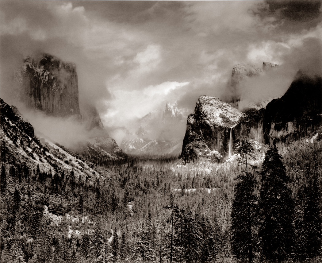
And one is surprised, looking at Ansel Adams’ Clearing Storm Winter, Yosemite, that the view is as much inside one’s head as it is of the outer world. That is, that the scene feels in some way a perfect metaphor for the imagined landscape inside the skull, including a floor, a valley with borders, a tall ceiling or sky, and lots of weather. “That’s my brain,” I say looking at the photograph.yosemites postcard 1
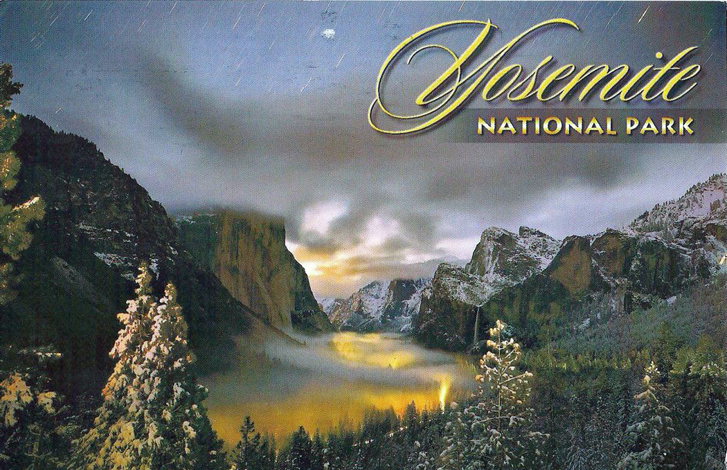
But, of course, the land isn’t always that dramatic, always that Romantic. Indeed, Adams’ photographs can easily drop into the picturesque, like some supremely crafted post-card image. And it isn’t only the great mountains of the West that have meaning in landscape art.

The other great Adams in photography, Robert Adams, can photograph a street in Los Angeles or the flat plains of Nebraska and find a way — to quote him from his book, Why People Photograph — “to affirm life without lying about it.”Hopper
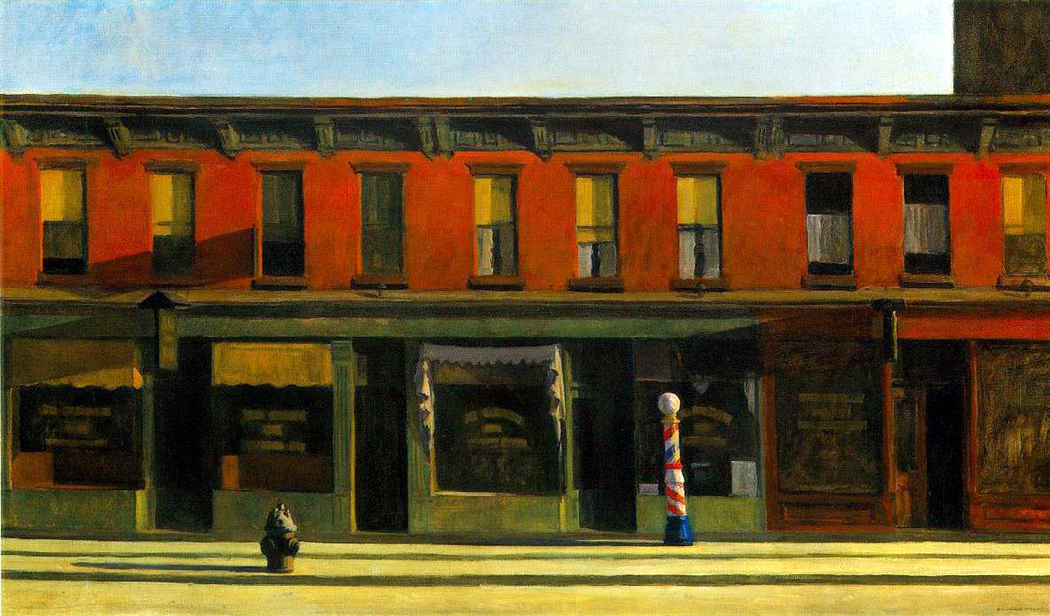
Telling the truth, however, isn’t the same as reporting the fact. The truth of how land creates meaning is obvious in the paintings, say, of Edward Hopper, where the raking light of early morning gives New York City a glowing loneliness that says something more truthful than merely transcendence in the light or the alienation of the empty street. There is both. The disjunction gives the painting its power.

I remember the first time my wife and I drove out West. We both grew up in the East, with its forests and slope-shouldered hills, with its rivers and streams, its highways and billboards. But as we drove, the landscape slowly became less and less familiar as the trees thinned out and the hills flattened into the billiard table of the Texas panhandle. Then, suddenly, the bottom dropped out of the world, right at the New Mexico border and we descended from the tableland into a land of buttes and mesas in the Canadian River basin. The ground was dun and gravelly and we realized for the first time that the landscape of the Warner Brothers Roadrunner cartoons was a real landscape, and that all those tall buttes didn’t so much rise up above the land, as that the land dropped away from the peneplain into vast miles of valley, with the buttes as remnants of the former geology. It wasn’t merely a change in scenery, but a completely different world.
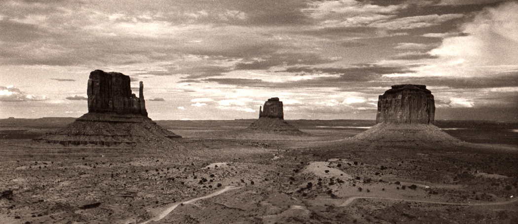
Monument Valley mittensAs we traveled around the country, we kept finding new worlds, and each new world was a new birth for us, a new awareness of the variety of meanings and significances of the planet.

NEXT: West Virginia
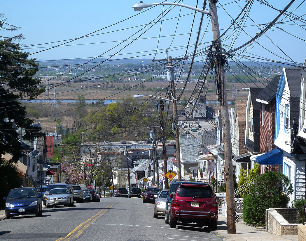
north bergen to meadowlands

Northern New Jersey in the postwar years was a patchwork of suburban towns and rural farmland. The part just west of the Hudson River is hilly, with a long irregular slope dropping down from the crest of the Palisades and into the valley of the Hackensack River. The larger towns — Teaneck, Bergenfield, Hackensack — were urbanized with a bloom of soot covering everything. My town, Old Tappan, was changing from one of small farms and Dutch-colonial homes to one in which whole neighborhoods of sameness were erupting in tract housing. The population was a mix of old families that had lived there for generations and the bright-cheeked newcomers looking for their own homes and green lawns and an upwardly mobile place to raise their children.

OT bridgeOur house was a one-off — new, but not in a development. It sat on a gentle hill in what had been woods and included a brook. My father built a wooden bridge over the stream and enlarged a bend in it to become a small pool in which we could wade or recline in the water to cool off in the muggy summers.

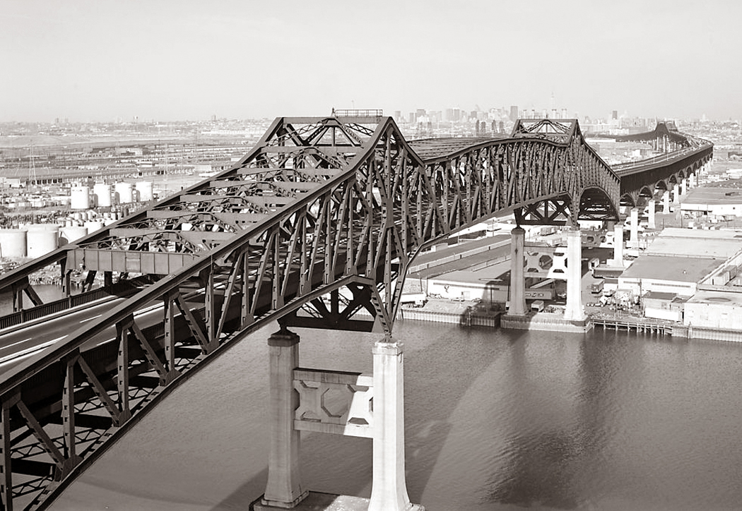
Because I grew up there, this patch of planet became for me my umwelt — my inner picture of what the world looks like — it was normative. The wider world I knew stretched from upstate New York along the Hudson and down to the Jersey Shore along the Shrewsbury River. The landscape included such landmarks as the accordioned oil-storage tanks along Route 36 in Keyport, the Pulaski Skyway that crossed over the New Jersey Turnpike, and the three-lane Route 9W that skirted Storm King Mountain along the Hudson. It included forests and streams, and it included heavy industry, a web of highways and the shopping malls of Paramus. pulaski skyway

The center and anchor of this landscape was Manhattan — the gravitational center on the other side of the George Washington Bridge. It was where, as a teenager, I wanted to spend all my time. Museums, bookstores, subways, Central Park, Chinatown restaurants and the great cheap ride on the Staten Island Ferry.

When the family went to the city for whatever reason, and we came home at night, driving up the brand-new Palisades Interstate Parkway, the lights of the city across the river were stars burning in the blackness, outlining the vertical thrust of the skyscrapers, while a thin line of burning beads moved continuously along the West Side Highway providing a baseline. When I was 7 years old, it was the most beautiful thing I knew. nyc night skyline

The landscape of our childhoods is embedded in our minds and memory the same as the language we learn without trying — it is absorbed whole. It shapes the mirror that reflects back everything we live through afterwards.

“The mind, that ocean where each kind/ Does straight its own resemblance find,” wrote Andrew Marvell in The Garden.

As an adult, I have lived in each of the four corners of the nation: the Southeast, the Southwest, the Northwest in addition to my green years in the Northeast. But no matter where I have gone, outside that comfortable nest of the Middle Atlantic, the landscape remains a novelty. I have enjoyed, even loved living elsewhere, but deep in the folds of my cortex, normal is New Jersey.

That same process works for wherever you grow up. It is Mississippi for Faulkner, Brooklyn for Henry Miller, Concord for Thoreau, Ohio for Sherwood Anderson, Missouri for Twain, Lowell, Mass., for Kerouac. You can find Paterson, N.J. in William Carlos Williams and Asheville, N.C. in Thomas Wolfe. The axis mundi.

Leonardo took northern Italy with him when he went to France. Durer took Germany with him to Italy as much as he brought the Renaissance back north. Beethoven never left Bonn even when he lived in Vienna, and the provincial towns of Czechoslovakia chime over and over through the symphonies of Mahler in the military marches and SchrammelmusikRiver Street, Madison NC.

My wife grew up in Madison, N.C., on the banks of the Dan River. “The river and the creek in the back yard are the back of my brain, the inner part I draw from. The front of my head looks out to the town.”

That is the crux: the part we draw on, waters of life from the inner well.

Childhood creates the fixed inner sense of the world, depending on where you grew up: the flatness of northern Indiana, the short-grass prairies of western Nebraska, the leaden skies and perpetual drizzle of Seattle in winter.

But it isn’t merely the look of the landscape — as if it were a painting — but an entire sense of the physical world and our place and size in it. That includes a paradigm of distance — how far is the horizon, how long is a street before it curves away from your vision, how tall are the trees. These measurements are as set in the forming brain as are our names.

So too are the seasons we live through. In New Jersey, there were four, with deep snow in winter and muggy heat in summer. The further north, the more winter and summer vary in length of daylight. In Arizona, there are two seasons: unbearable heat and relief from unbearable heat. In San Diego, there is barely more than one season. If you move from one place to another, you never quite get used to the missing or added seasons.

That umwelt includes the quality of light we know as normal, the feel of air and its humidity against our skin, the way sound carries or doesn’t carry as it is muffled by woods or snow. It also includes the food, the ethnicities that surround us, the accent we speak in and the population density. All create a “normal” in our minds that we never lose, even as we expand our horizons as we grow. bergen co to nyc

There are those who believe we try as adults to recapture our childhoods, but I say instead, we can never escape them. They are there engraved in our synapses.

I have traveled widely in North America, through all the states save Hawaii, and all the Canadian provinces save Prince Edward Island. And all those states many times. The landscape — not landscape as art, but landscape as the planet your drive or walk through — gives character to each location, as if each location were not just a tract of land, but an entire culture.

The land has meaning.

I am going to try to describe over the next series of blog entries a variety of distinct American landscapes and find in them meaning beyond the picturesque. I hope you’ll come with me.

wigwam motel copy

Sometimes travel, like life, is a comedy. You drive along near Monteagle, Tenn., and spot the road sign directing you to ”Fiery Gizzard and Savage Golf Trails.” Savage golf, yeah, let’s put some zip in the game:  Losers get eaten by bears.

Or you pass the warning in the Cascade Mountains of Washington: ”Danger flying rocks — 35 mph.” One wonders if the rocks travel at that speed and whether they will be passing you on the road if you are driving too slowly for them.

Or you pass by the high school in Tillamook, Ore., where they proudly announce they are the ”Home of the Fighting Cheesemakers.”

Of  course, I shouldn’t point fingers: My alma mater was the “Fighting Quakers” and my wife was a “Demon Deacon.”

The world is filled with little jokes. Sometimes intended, usually not.

Over the years, we’ve traveled pretty much everywhere in the continental United States and Canada, and we’ve come across many little geographical punchlines. miniature house ontario copy

Some things you notice are outright funny. Others only strike you odd when you think about them: The Burns Brothers Gasoline Station.

Across this wide nation, from Dekay Street in Hoquiam, Wash., to Debree Street in Norfolk, Va., you can find yourself doing double takes at road signs or the names of industries or towns.

No doubt, some of these prodigies have gone the way of all kitsch. They’ve gone out of business, probably replaced with something just as peculiar.

In Wisconsin, you could buy your souvenirs at Ethel’s Flood of Gifts. In Maine, you could stop at Pointy Head Antiques.

And when you visit Batavia, Iowa, don’t miss the House of Chrome.

There were Concrete Gifts in Coos Bay, Ore., and a Cement National Bank in Easton, Pa. There’s also the town of Concrete, Wash.

There was the Tired Chicken, a restaurant in Crescent City, Calif., and a tired gin joint in Lincoln City, Ore., called George’s Paris by the Sea.

In Las Vegas, a few years ago, we passed Murphy’s Law Restaurant. True to form, it was up for sale. Something must have gone wrong.

There was the Hollow Cocktail Lounge, Charleroi, Pa., and the Hester Prynne Restaurant in New Jersey, with its ”A-frame” entrance. At the Sanitary Cafe in Reidsville, N.C., the breakfast specialty was brains and eggs. I recommend ’em.

In Pennsylvania, you could order an Arsonburger. Las Vegas sphinx copy

The Best Western in Vancouver, British Columbia, offered ”Free escargot.” I wondered how big a draw that might be.

I also wonder how comfortable the Cockleburr Motel could possibly be, in Kadoka, S.D.

Kadoka is a wonderful little town. But for years, they had a sign along the interstate that read:

”Welcome to Kadoka, S.D.

Entrance to the Bad Lands

Kadoka Needs Another Doctor”

It’s not good to sound too desperate.

Maine has its own interesting town sign: ”Welcome to Kennebunk, the only village so named.”

Watford, N.D., declares itself ”The Whopper Capital of the World” in honor of the stories sports fishermen tell there. You can stay there at Four Eyes Motel, with a picture of Teddy Roosevelt on the sign. It’s also where you could find the Abstract Tile Co.

In nearby Alexander, one could hole up at the Ragged Butte Motel and Cafe, and stop by the Hard Ride Liquor Co. for your refreshment.

In Culbertson, Mont., there was Custom Built Feeds. I know the agribusiness has gone high-tech, but how scientific can silage be? OJ did it train copy

In Poplar, Mont., there was an old concrete bridge over a tiny dry creek, the way they can be in the arid West: all scrub and gravel. You’d hardly notice the bridge at all — it’s only about 15 feet long and there is nothing under it but grass and cobbles — except for the large, imposing sign: ”No Diving Off Bridge.”

The MX Motel in Chester, Mont., was named in honor of the nuclear missiles hidden underground nearby. Its sign was written in a flowery Old English script, which certainly captures the elegant and dainty spirit of nuclear holocaust.

Louisiana’s economy booms and busts with the oil business, and many businesses have a very precise focus. As you pass through such towns as Sulphur and Industries, you pass such workplaces as Concentric Pipe Rentals, the Down Hole Co. and Major Mud and Chemical. I’ve always wondered what the technical difference might be between minor mud and major mud.

But those businesses are hardly alone. There’s a Nova Mud Corp. in Ely, Nev.

01 Rainbow, DelmarvaIn the early 1980s, my wife and I were both teachers and had our summers free to travel. Beginning in 1981 and for many years after, we drove all across the U.S. and Canada. I was a photography teacher at a 2-year college and carted around quite a freightload of photographic equipment, including a hefty 4X5 field camera.

Now, when we travel, I use a digital point-and-shoot that fits into my trouser pocket and weighs less than the lens shade for my old Super Angulon view camera lens. And the photos I get are just as good. (No matter how fancy the equipment, a photographer cannot get photos any better than his talent allows; cameras hardly matter). And goodbye hypo stains.

I have previously posted a passel of images from our trips out West. But we also visited the East. We have been to every state in the Union multiple times and have visited every Canadian province except Prince Edward Island, and I don’t know how we missed that.

We put thousands of miles on our old Chevy Citation every summer. It was a workhorse of a car; that’s it above, on the Delmarva Peninsula, under one of the greatest rainbows ever.

These are a few of the images I made on those trips.

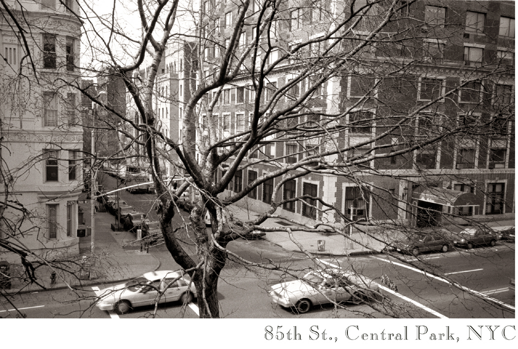
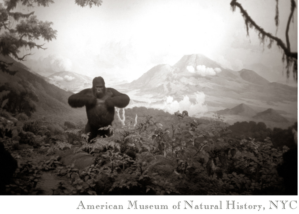
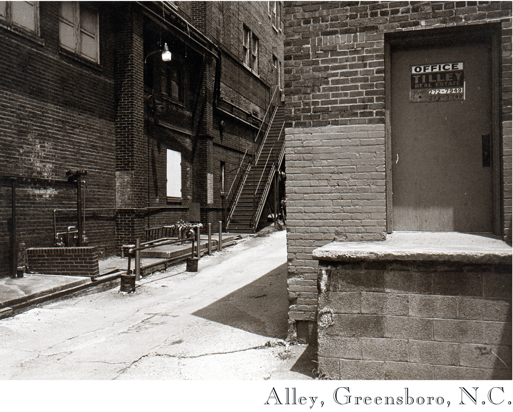
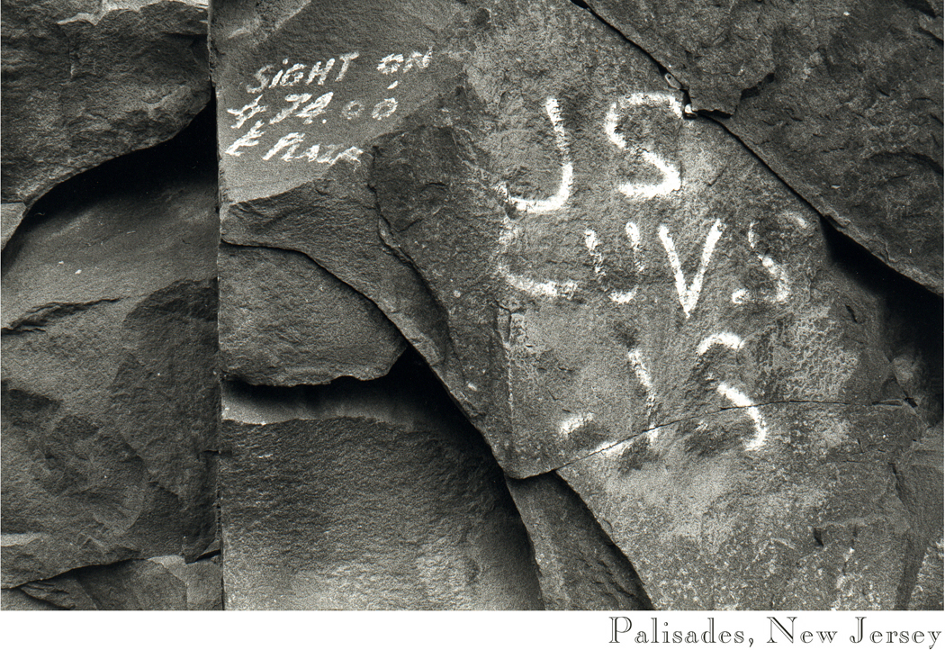
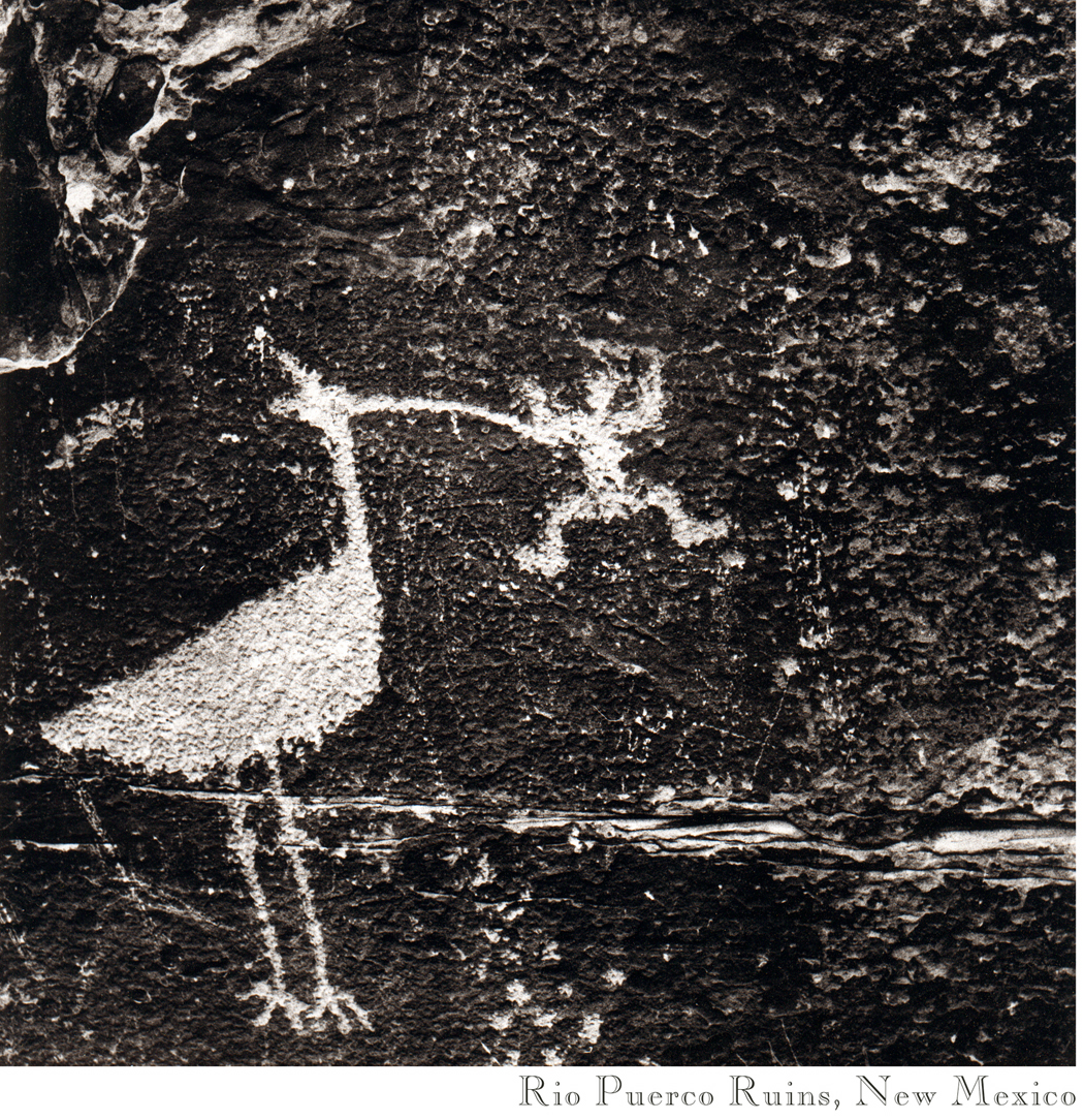
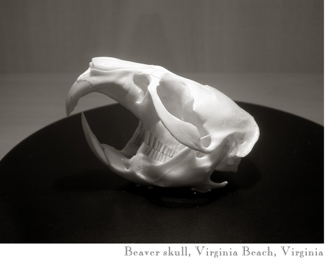
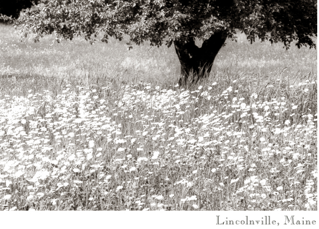
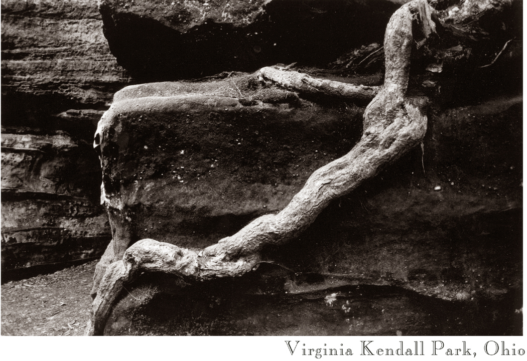
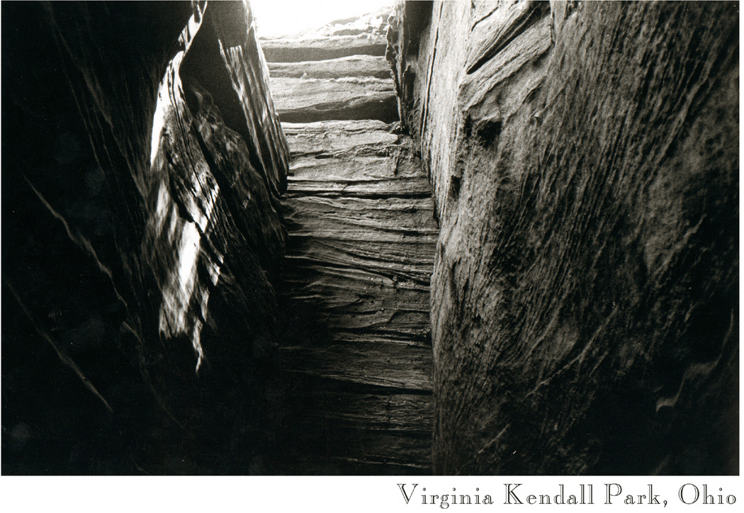
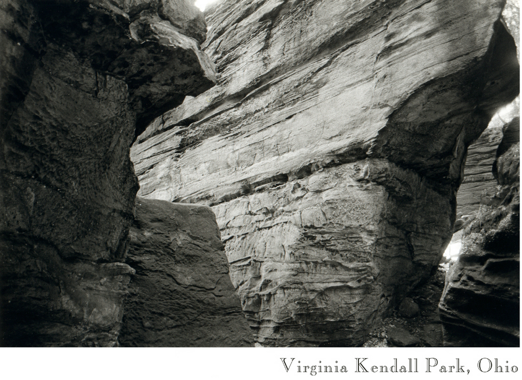
02 central park03 Gorilla, Am Mus Nat Hist0404 Chicago skyline05 Union Station, Washington06 Greensboro Alley 107 Palisades, N.J08 Petroglyph09 Tidepool maine10 Carlsbad Caverns11 Beaver skull12 I-64, Virginia13 East Lake Hunt Club14 Bayou thicket15 Brookgreen Gardens, S.C16 Buxton Sedge grass17 Maine tide wash18 Schoodic rocks 2 copy19 lincolnville maine20 Ruins of Windsor21 Sunflower 122 Gettysburg23 Blue Ridge winter24 Cows, Crawley W.V25 Va Kendall SP Ohio 126 Va Kendall SP Ohio 227 Va Kendall SP Ohio 3

Olympic coast


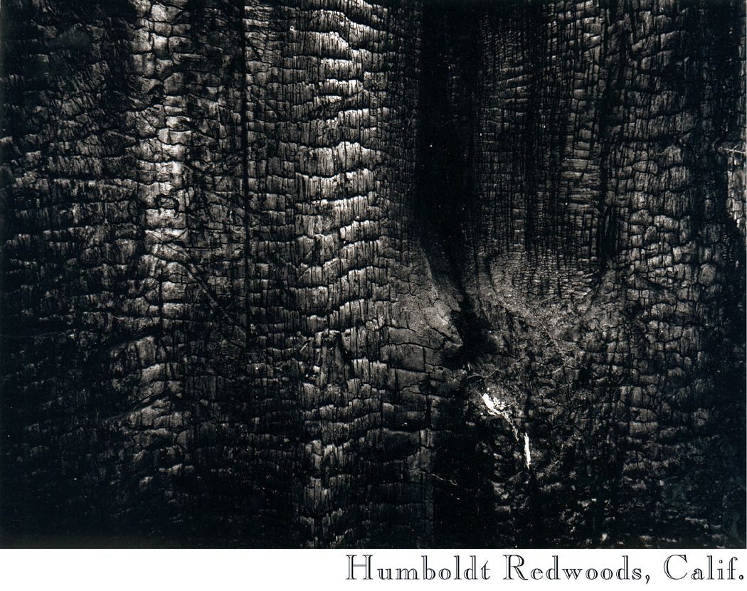
There were a few photos left over from my blog about seeing the West for the first time. These were taken, mostly, on trips across the country in 1981, 1982 and 1983, leaving from Virginia and driving west across the Mississippi River and into the landscape that has the mythological cast to become not merely a piece of land, but a segment of psychology.

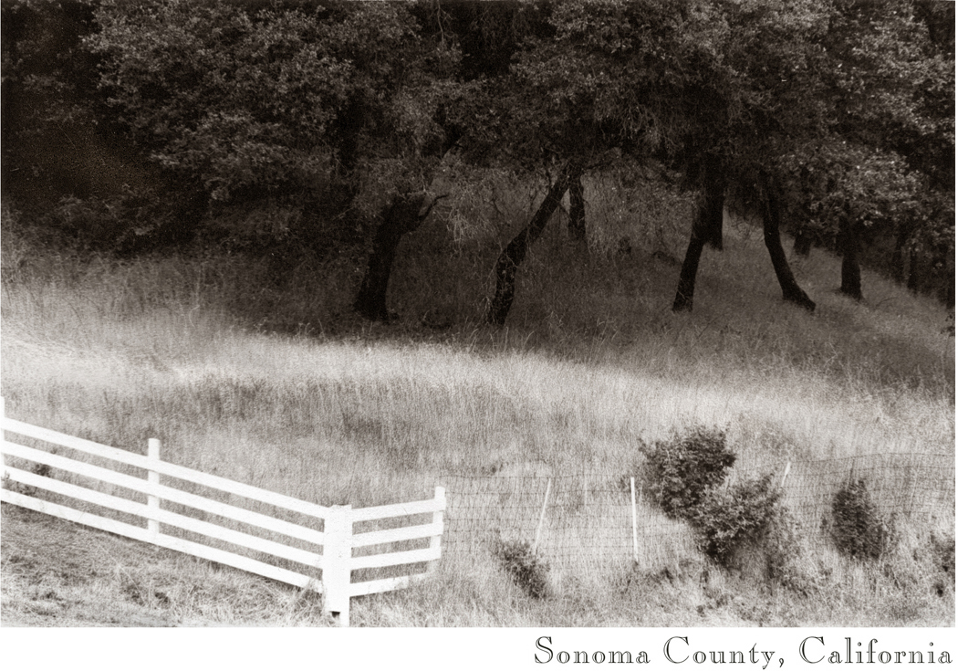
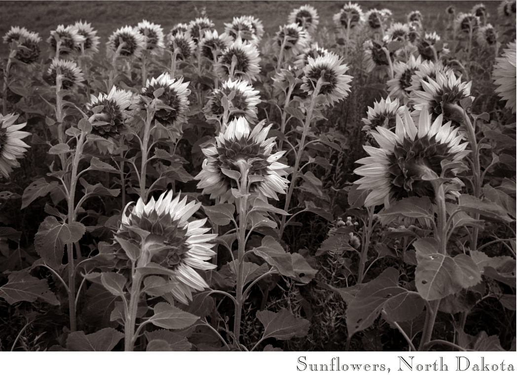
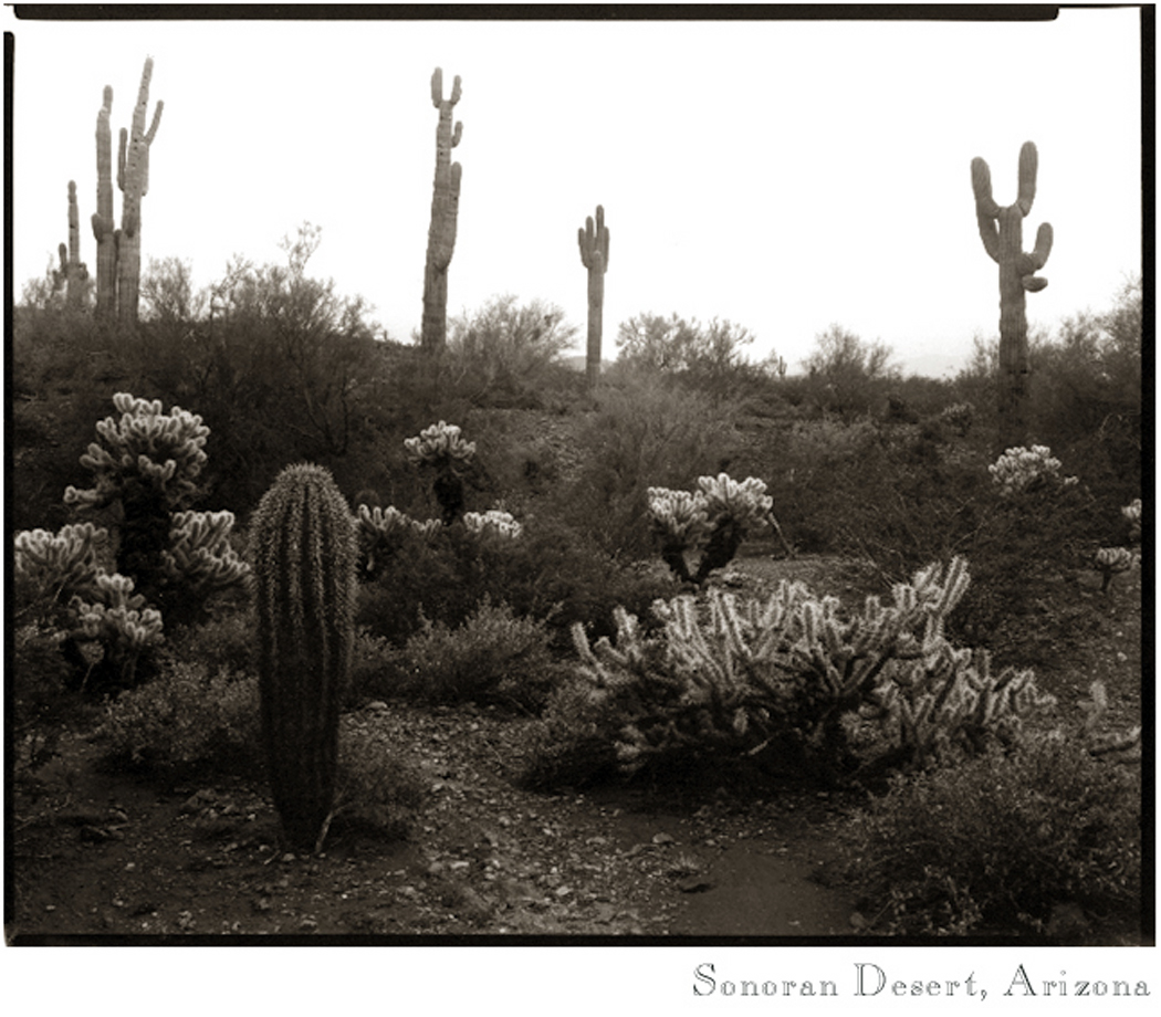
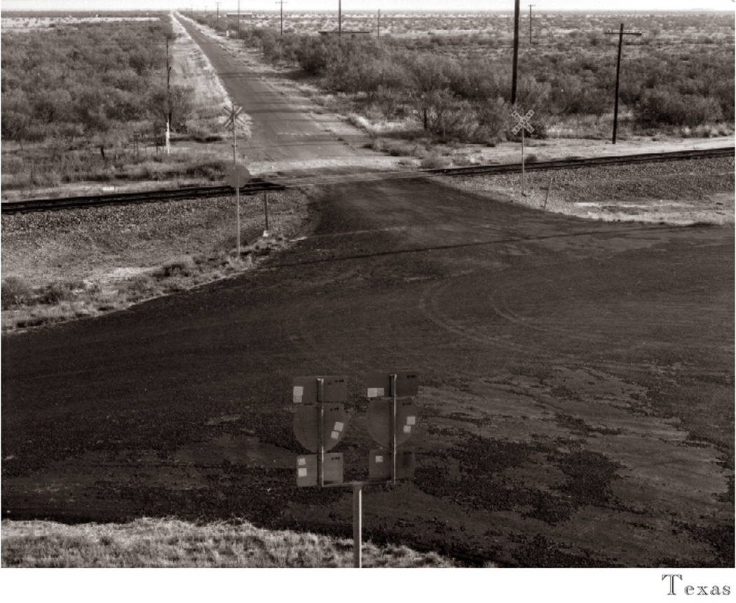
Olympic stumpScorched redwoodMendocino County, CalifKiva, Mesa Verde, ColoNisqually GlacierHydro OklaSonoma Valley fenceHaystacks, Joes, ColoSunflowers ND 01Desert scene copyTexasDante's View Death ValleyTorrey, UtahCrumbacher LakeTsegi CanyonChuckanutVermilion CliffsAspens, ColoArch Cape, Ore

Glen Rio, Tex (N.M

It is hard to describe to anyone not born and raised in the eastern portion of this country what a shock it is to see the American West for the first time. One gets used to the thick forests and twisting roads and the dense population of the East.

I had managed not to see the West until I was nearly 35. I was unprepared for what I found. There were mesas, buttes, mountains, geysers, chasms, canyons and prairies. There were deserts, high plains, cactus and arroyos. My eyes were pie plates. It was all new. We’re not in New Jersey anymore.Dawn, Grand Canyon

The air was crisp and dry. You could see 50 or 100 miles through it. Every day, there was something I had never seen before and had never even imagined.

This was in 1982, and in one single summer trip my wife and I put 10,000 miles on our car while driving in a huge loop around the Western half of the continent, and we saw everything from the Grand Canyon to Mount Rainier. We felt like mere babes, dumbstruck by a world we only knew through paintings by Thomas Moran, movies by John Ford and photographs by Ansel Adams. We hadn’t really believed what we had been shown: Nothing is really that gobsmacking.Goosenecks of the San Juan

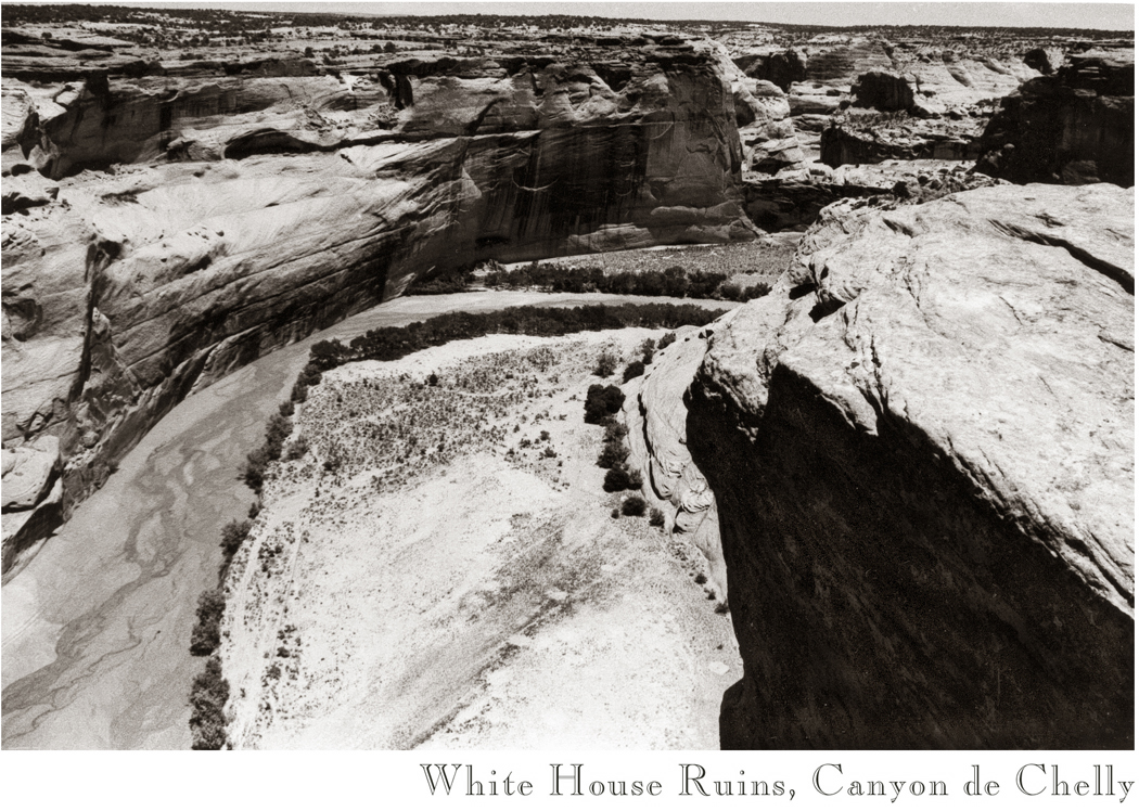
We had some incredible luck. By accident, we came to Canyon de Chelly in northeastern Arizona by the back roads and found a place along the edge of it that was not crowded with tourists. We sat alone on the rim looking down into the abyss for hours, listening to the breeze and the birds, before another car even drove by.White House Ruins

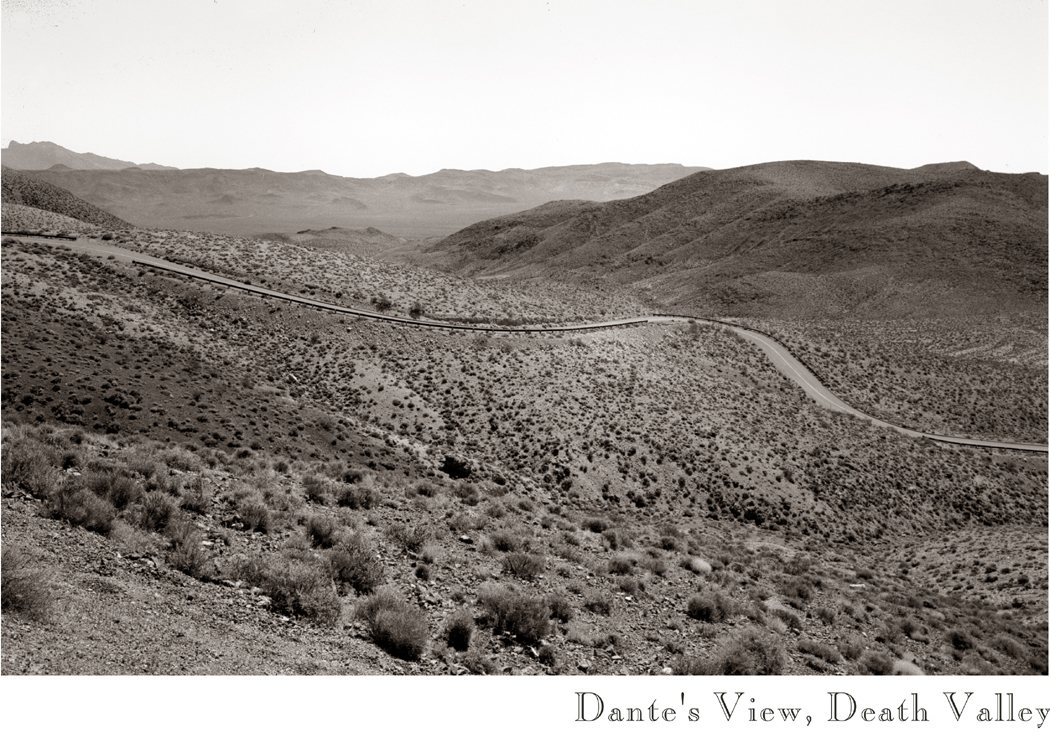
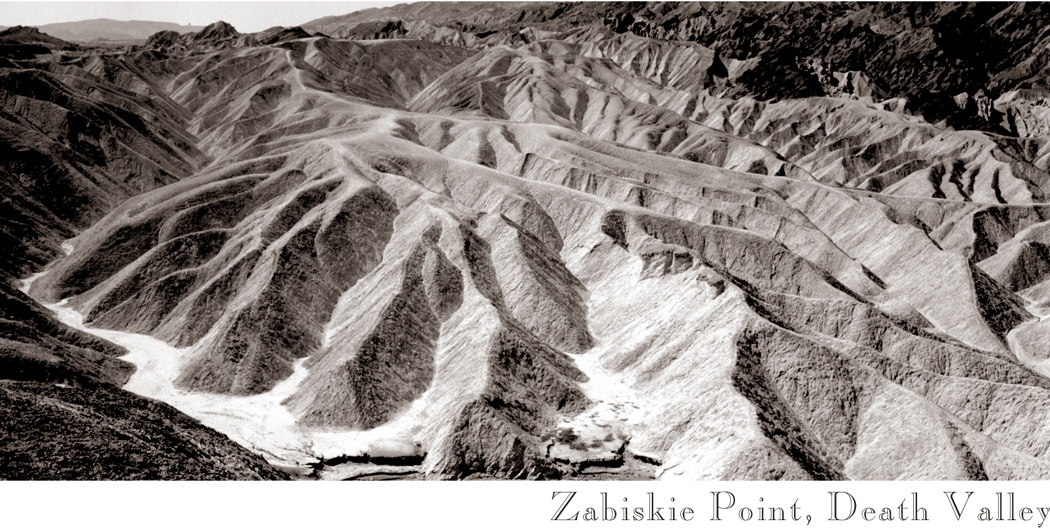
We were lucky enough to drive through California’s Death Valley in June. It was empty also. Few people are crazy enough to go there when it is 115 degrees. But it meant we saw Death Valley at its most characteristic. It is well named.Zabriskie Point

We were lucky to pass through Depuyer, Mont., when the cottonwood trees were shedding their ”fluffy-duffies” and coated the whole town like a blizzard.

”I love this time of year,” the woman behind the store counter told us. ”When I was a little girl, I would collect as much fluff as I could and make little doll quilts from it and use it to stuff doll pillows.”

There was a mile-long climb up the Lake Angeles trail in the Olympic Mountains of Washington, and at the top we came to a fog-skimmed lake with the rocky precipice of Mount Angeles on the other side, looking like a living, breathing Thomas Moran painting.Hurricane Ridge

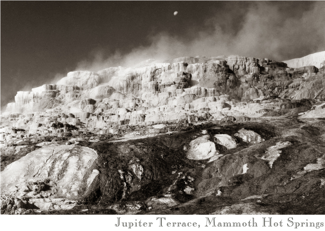
There were the steaming clouds of limestone piled up in Yellowstone National Park, at Mammoth Hot Springs, glistening with trickled water.Mammoth Hot Springs

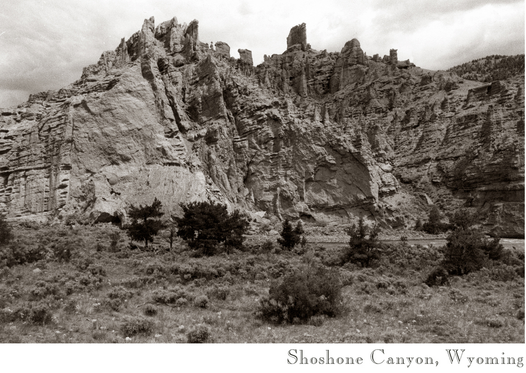
And driving east from Yellowstone, down the Shoshone River Canyon, dropping off the eastern face of the Absaroka Mountains, we passed rock formations and river rapids.shoshone canyon

About 20 miles west of Cody, Wyo., we passed a road sign that read ”Weather Info Tune to 1610 AM.” We had seen such signs before, but this time we thought we’d try it out. Just as we did, the land opened up in front of us and we saw the sweeping plains that spread out towards the Buffalo Bill Reservoir, about 10 miles in front of us. The scene was perfect: Purple mountains trailed off into the distance, broad plains and a lake intensely blue spread like a feast before us, a sky higher than any we had seen, filled with four or five different kinds of clouds and interspersed with an ultramarine, rippled out to a visual infinity. I clicked on the radio, and instead of weather, we heard the Mormon Tabernacle Choir singing the Star-Spangled Banner with the richest kitschiest accompaniment the Philadelphia Orchestra could muster.Wheatfield, Pendleton, Ore

I’m not much given to patriotic sentiment, but I could not hold back a tear. I felt as much an American as George M. Cohan ever did. I felt the shores of Tripoli, the amber waves of grain, home of the free. The choir sang all the verses and at the very end, in a vocal trick now commonplace but brand-new then, the choir jumped an octave on ”free-eeeeeeeeee” as it ended, and I swear it sounded like Beethoven’s Ninth.

SaguarosOf course, when we later moved to Arizona, some of the glory wore off. We lived in Phoenix, which is pretty much Cleveland in the desert, and after 25 years working there — it isn’t that we didn’t still love the beauty of the landscape, but that it became familiar; it no longer astonished us. The human psyche can get used to almost anything.

“Whither is fled the visionary gleam?

“Where is it now, the glory and the dream?”

Now that we have moved back to the Blue Ridge Mountains — an entirely more comfortable, less spiky, less prickly landscape, softened with humidity and afternoon showers, green of the forest replacing the tawn of the desert — now that we have moved back, the night splashes full with dreams of distant impossibly white clouds with charcoal bottoms floating over red buttes and vast bajadas.

zulu basket

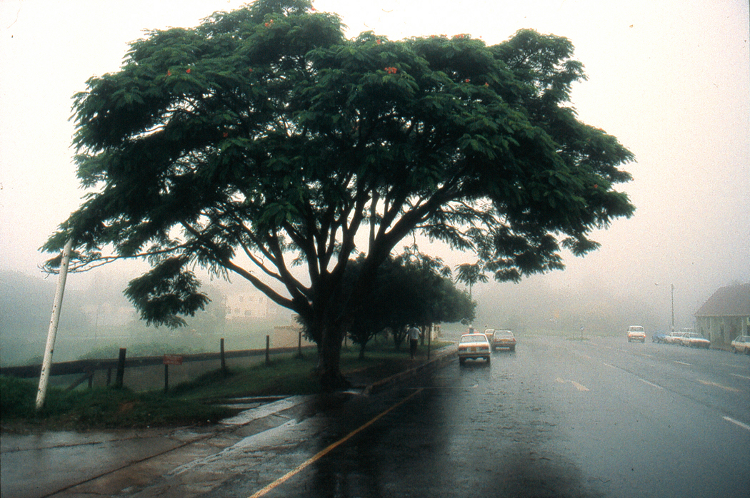
In the land of the Zulus, everything seems backward. January is the hottest month of the year. You have to drive on the left side of the road. orion upsidedownEven Orion stands on his head in the night sky; his sword becomes a celestial erection.

And, of course, white people are in the minority.

And though in America the name of a place is indicated by suffix – PIttsBURGH or FayetteVILLE — in the Nguni languages of southern Africa, it is a prefix. So Zululand is kwaZulu.

And what is more, because in that part of the South African province of Natal, where the Zulu people have traditionally lived, kwaZulu means the ”place of heaven,” heaven is underfoot. You can tell it is heaven just by looking at it.kwaZulu

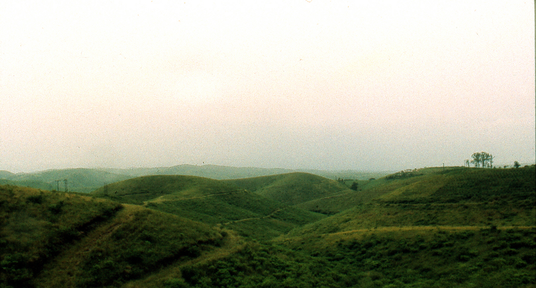
The road inland from the Indian Ocean roller-coasters up and down grassy hills that have grown electric green in the nurturing humidity. In the valleys, you find a darker green of trees and the euphorbias that mimic cactuses. It is a land closed in by its own fertility, with few of the vast panoramas familiar from the desert.tugela river

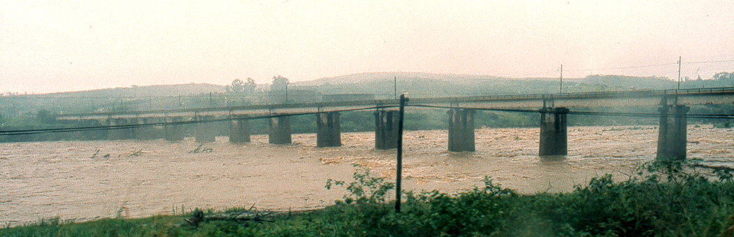
January is the rainy season; the Tugela River is swollen and has washed away the bridge on Provincial Route N2, so the bus I’m riding has to detour several miles upstream and cross the churning brown water on an old railroad bridge.Eshowe

My goal is a Zulu kraal north of Eshowe in the community of kwaBhekithunga.

A kraal is an old-fashioned Zulu family settlement. The standard kraal consists of a number of beehive straw huts encircled by a palisade of wooden stakes.zulu kraal

In the center of the kraal is a corral holding the village animals, which are its wealth. Some of the huts are large enough to serve as dormitories, but most are about the size of a Navajo hogan. And as with the hogans, most people no longer live in them regularly but keep them maintained for cultural or religious reasons.

Zululand has gone through terrible cultural upheaval since it was first brought together politically in the 1820s under Shaka, the George Washington of Zululand. Nowadays, 82 percent of the population of kwaZulu is female. The men have gone to the cities to find work, mainly in the mines of the Transvaal. Those males remaining in Natal are mostly old men or children.

ZuluBut in the time of Shaka — who was born two years before Washington became president of the United States — things were different. Under the charismatic military leader, a disciplined army of 20,000 men conquered most of Natal, increasing the area of kwaZulu by a factor of more than 100 and incorporating the many small Nguni-speaking tribes into a larger political unit called Zulu.

Shaka’s kraal at kwaBulawayo was the size of a city, and he successfully negotiated treaties with the new ”sparrows,” or white men, who had recently colonized the area of Natal south of kwaZulu.

When Shaka was assassinated in 1828 by his own brothers, the kingdom began its long political decline and finally lost its sovereignty at the end of the century to the white South Africans. Zululand was annexed to Natal in 1897.

At kwaBhekithunga, there is none of the grandiosity that marked the reign of Shaka. The footpaths are muddy, the huts are dusty and several of them are under much-needed renovation.

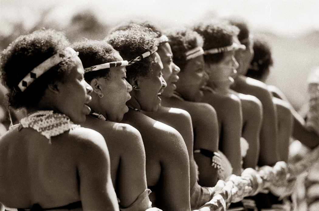
The village’s headman is Bancusa Fakude — the ”c” is really one of those characteristic South African ”click” sounds — and he and his family spend the evening with the kraal visitors teaching us about Zulu culture and performing music and dance.Zulu dance

He explains that the hut floors are made of an adobe-like cement made of animal dung and that the door of each hut is protected by a line of animal urine drawn in the dust. ”It keeps the snakes away,” he says. ”Never had one here, so I guess it works.” We drink a cloudy liquid from a pitch-lined basket. It is the Zulu sweet-sour home-brew beer. And we eat such dishes as phutu, or cornbread crumbs, and istampu, a corn and butter bean succotash. When the village fire burns down, we head to our huts in the dark to sleep in the unsettling silence of Africa under an upside-down sky.

And when I want to point home to North America, I have to point down to the ground.

Sandro at Hatteras copy

Cape Hatteras is a place for pilgrimages.

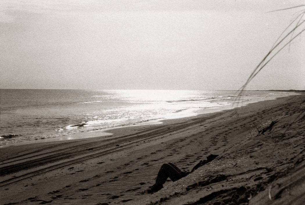
It is a bit of sand that emerges from the ocean 30 miles out to sea off North Carolina. It is a place where you go to be reminded that you don’t live in an apartment, you don’t live in a city, but rather, you live instead on a planet.Hatteras cape point from lighthouse copy

For years in the late 1960s and early ’70s, my college friend Alexander and I went to Hatteras each February to experience the organ-point surf and a constant 20-knot wind that keeps your lapels flapping and your skin wrung raw. It’s a wind that can part your eyebrows.

Others may visit in the summer, when the ocean is tamed and the wind warmed, but February is the only real time to visit if it is a pilgrimage you are on.

Hattaras is much congested these days, but in 1968, at least in February, you could grab a mile or two of beach all for yourself.

In February, the last nor’easters of the season have blown through and chiseled the dunes into new shapes.

And each February, it seemed, there was a stretch of about a week when winter breaks and the temperature would climb each day to the mid-70s and the sun could warm your chill-chapped face.

It was then that Hatteras gave up its best.NC12, Hatteras Island NC copy

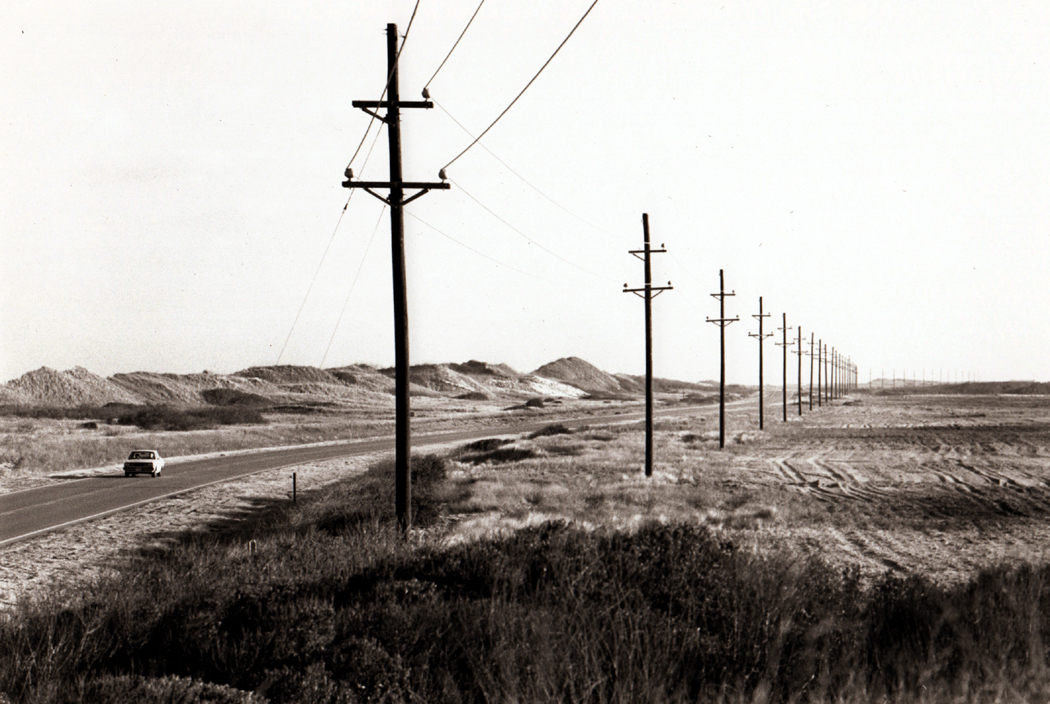
To get there, you take N.C. 12, a two-lane blacktop that runs the length of the Outer Banks like the vein down the back of a shrimp. For the 50 miles from Nag’s Head to the cape, the road runs straight between the Atlantic Ocean on one side and Pamlico Sound on the other.

Sandro and the lighthouse copyThe Banks are a series of barrier islands that begin to tear away from the mainland in Virginia and reach their greatest distance from terra firma at Cape Hatteras, about 100 miles farther south.
At their skinniest, the banks are only a few hundred yards wide, with its single road protected from the stormy Atlantic by only the skimpiest of sand dunes.

And in February, it is not unusual for portions of the road to be flooded or blown over with sand.

After one vicious nor’easter, the road about five miles north of Buxton at the cape was nearly washed away. A vast pool of salt water covered what used to be highway. To make our way through it, Alexander had to take his shoes and socks off and wade through the icy water, feeling for the pavement with his bare feet. I followed in the car, driving at a cautious crawl through water that washed over the top of our hubcaps.

As befits a pilgrimage, we had our rites. We camped in the dunes and drank Alexander’s ceremonial hot chocolate in the mornings. His penitential recipe called for equal parts milk and Hershey’s syrup.

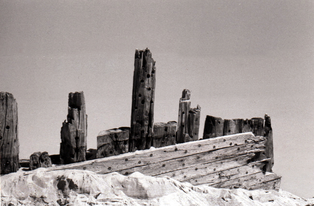
There were the whelks, Scotch bonnets, skate egg cases, dogfish carcasses, the 360-degree aural horizon of surf crash, the snap of the tent’s oily canvas in the wind, the intermittent flash of the lighthouse at night seen from our campsite, the squeak and squawk of the gulls and terns, the beef stew simmering in the black iron pan, the corroded spikes pulled from the wreck of the Laura Barnes — iron pulled and twisted like taffy — the swig of Courvoisier in the morning followed by that tar-thick hot chocolate.

There were those mysterious — to me anyway — channel markers land-locked on the mud flats near the Bodie Island campsite — the surf so far away — that unnamed wreck near the lagoon at the Cape, those Loran towers, the old dune-covered ruins of the former Route 12 near the light house that we walked along one evening and watched the stars through binoculars — the most stars I had ever seen.

A great deal has been erased and recorded over in my memory, but these items are indelible. I can even see it in these photographs awful as they are.

In all the years we went on this pilgrimage, two episodes stand out.

First, one inky night, we walked past the base of the lighthouse on our way to the beach. For some reason, the door to the lighthouse, which was always locked, was left open. There was no one around, and we didn’t hear anyone in the lighthouse tower when we poked our heads in, so we started climbing the iron spiral stairs.

It is a long way up the tallest lighthouse on the East Coast, and when we got to the top, we opened the door to the balcony that surrounds the lamp and walked out in the wind and watched the light flash over our heads and swing out to sea, where the tiny stars of ships shown on the black horizon.

The other episode occurred as we walked out in the dark toward the cape point, a mile or so from the lighthouse.

At the cape point, the surf crashes around you in all directions. You can lose your bearings quite easily, especially when you are below the dunes and can’t see the lighthouse.shipwreck Hatteras copy 1

The air is thick with the mist of exploded breakers; it collects in your beard and dampens your peacoat.

To make our way, I carried a hissing Coleman lantern that threw our shadows on the sand at our feet. And when we looked up to spy Orion in the sky, we were startled to see two giants walking in the air.

The lantern threw our silhouettes up into the sky, and we walked among the constellations.

In many ways the Outer Banks have become a place in my head — an eternal place in my head where all the adventures are always happening — and have slipped out of place in time.Sandro inside the Okracoke lighthouse copy

Which year did I photograph Alexander inside Okracoke lighthouse?

I want desperately to recapture every detail.

But in another sense, he always in that lighthouse, looking up its whitewashed core.

moviola 1

We travel in time as much as in space.

And just as there are moments when you stand on the top of a rise and see grand vistas and the lay of the land suddenly becomes clear, there are moments when you climb up out of the hollow of local time and the years spread out in front of you as one vast temporal landscape.

I had such an experience this summer in New Jersey.

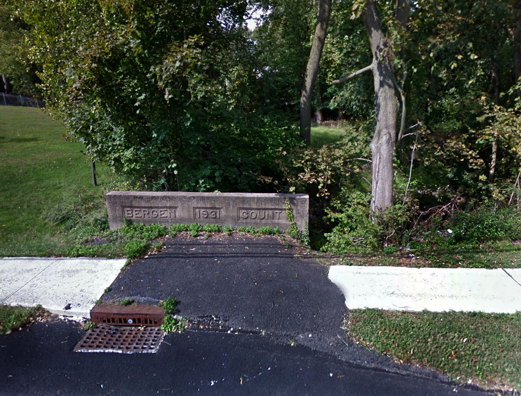
I was born and raised in the Garden State in several communities between the Hackensack and Hudson rivers. I left for college and have rarely been back in the intervening quarter century — family and friends had all died or moved away.Old Tappan 2

But on this trip my wife and I passed through Bergen County and managed to stop by some places I knew well as a boy.

Now I’m not about to wax nostalgic. I abhor nostalgia; it is a kind of morticians’ wax applied to the dead face of the past, distorting everything we once knew. Times were not better then and never were.

But things clearly have changed.lein's grove

The first change is purely psychological: Everything has shrunk. The landscape that was so sprawling to my boy’s eyes is now condensed to a few tight city blocks. What seemed like an expedition is now walking distance. Skyscrapers are now bungalows.

Many people have experienced a similar sensation.

But the second change is more profound: The snapshot of New Jersey in my brain has remained static while time has bounded forward, so that when I revisit Teaneck or Old Tappan, I’m seeing what is in effect time-lapse photography: All the changes are accelerated so that what has moved invisibly day to day is now telescoped into a rush.

It isn’t just that there is more development. Bergen County has for a long time been the very model of suburbia; there are tract homes everywhere and more spring up every day. But nature has somehow kept up with the construction: Housing developments that were raw muddy wounds 30 years ago are now green and shaded under sprawling trees. For all the decay of time, there is a matching fecundity.

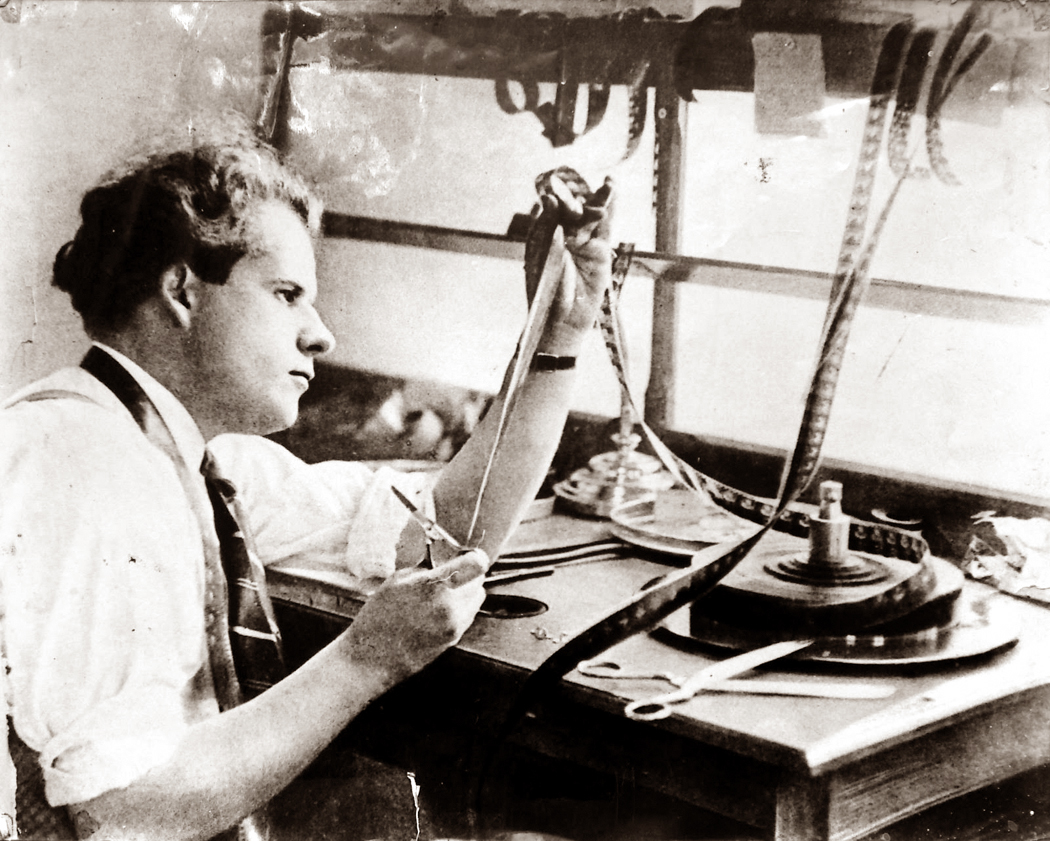
And when a quarter century exists between frames in your movie, it is a small step to move back yet another quarter century and then another, so that the history you learned in school no longer sits inkbound on the page of a book but begins to breathe as another scene in the movie you are a small part of.eisenstein

So you can slide the film back and forth in your mental Moviola only a dozen equal frames and you are in the era of Peter Stuyvesant and Dutch colonialization. It’s a blip from now to 1655 on the time line.

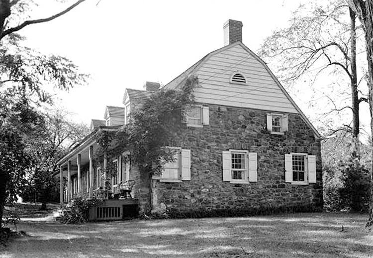
Frederick Haring HouseThe Old Tappan I grew up in was dotted with farms and old stone houses, built during the Dutch era. The houses are thick-walled and covered in lichen, moss and ivy; they are overarched by spreading oaks. They have, as it is said, settled.

Such houses were constructed of brown sandstone quarried by slaves.

It isn’t often remembered that slaves are a part of New Jersey’s history: In pre-Revolutionary times a settler was given 175 acres of land for every slave he imported. By 1737, slaves accounted for 8.4 percent of Jersey’s population.

Slave insurrections — in Hackensack, Raritan and Elizabeth, among other places — were a continual occurrence and citizens felt themselves stuck with the damnable institution. In 1772, a law was proposed ”obliging owners of the slaves to send them all back to Africa at their own expense.”

The law came to naught, but by that time free labor began to replace slavery and indenture.

I mention all this because when my boyhood home was built in 1956 in Old Tappan in northern New Jersey, the excavation turned up the stone foundation of slave quarters. It had been buried in woods for centuries and was now opened up to the sun for the first time.

It seemed little more than a curiosity then, and it was soon buried once more under the landscaping in our back yard. Its reawakening was brief.

Old Tappan 4The house has had two or three owners since I lived in it. I doubt that any of them knew what was buried under the Zoysia grass. But I thought of it again as I visited on vacation and saw how much the old house had changed: new paint, grown-up trees that were once bushes, a new bridge over the creek that cut through the property.

You play the film through the Moviola: The whole of northern New Jersey was once covered by a forest of oak and hickory. That was cut down for agriculture; the slave quarters behind my childhood home was evidence of that. But the fields grew once more into trees and were once more cut down to build the house.

The field next to the house was still pastureland when I was a boy. Now, it is dense with willows, birch and maple, on its way once more to growing oaks. If I look into its future, I can see more housing.

Time is fierce; it consumes the world.


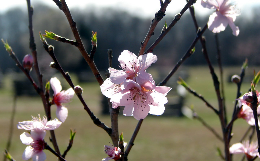
shiloh peach blossoms

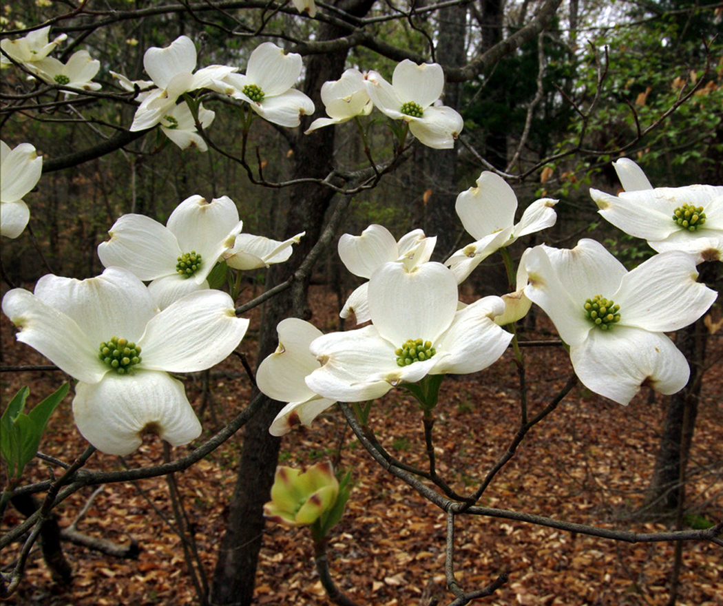
It is April 2014 and the dogwoods bleach the woods of a Civil War battlefield in southern Tennessee.

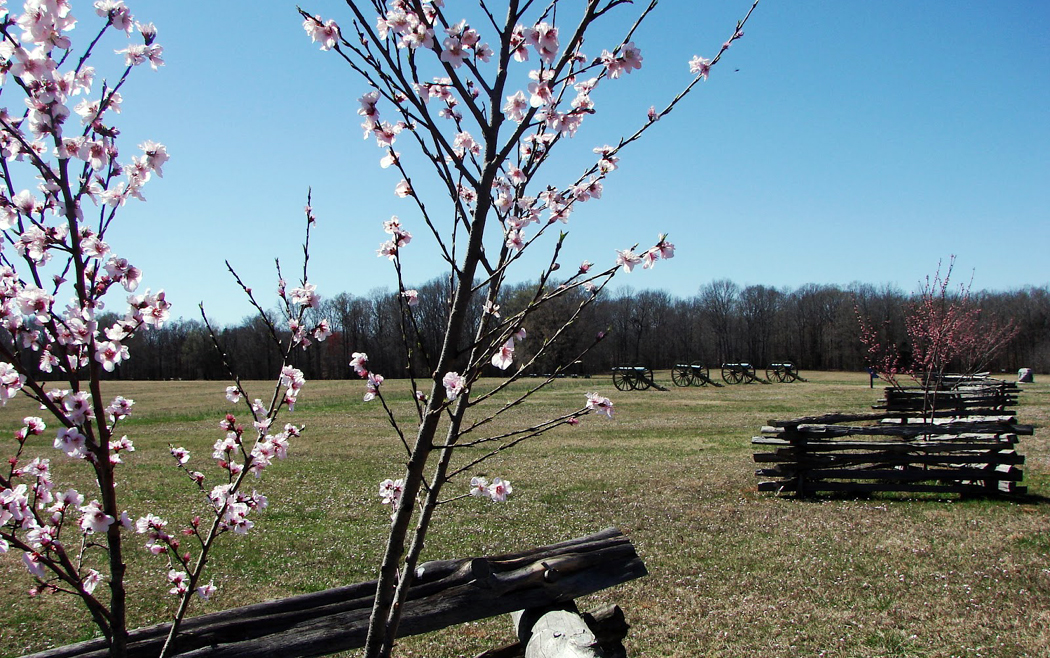
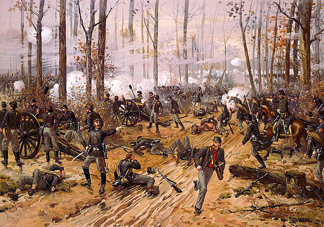
shiloh dogwoodsTheir whiteness remembers a signature episode from the fighting: On April 6, 1862, the peach blossoms near Shiloh Church, shocked from their branches by bullets and cannons, fell like a snow on the dead bodies of the Northern and Southern soldier alike.

It is best to see a historic battlefield at the same time of year as the soldiers who died there knew it. You get a better sense of it. At Shiloh, you can feel the spring humidity thickening the air. Nights are cool; they cloud up with April showers. Days are warm with sun. A million crane flies have awakened to the season and float over the unplowed fields. The redbuds wear their flowers like coral beads along their branches, and the dirt beneath our feet, still damp from the thaw, is beginning to dry enough to cultivate.

And 152 years ago, the Battle of Shiloh was the first major battle in the western theater of the Civil War. It was also the battle that first taught the Union and Confederate armies that the war was going to be long and vicious. It put a violent end to thoughts of quick and easy victory. It also nearly cost Gen. Ulysses S. Grant his job.

You drive along the narrow macadam in Shiloh National Military Park, 110 miles east of Memphis, looking at the monuments in the woods, wondering why such an obscure patch of wood and field should have the importance it has.

It is miles from anywhere; why would anyone fight over it?

With our cars and interstates, sometimes it is hard to remember that America’s past is one of rivers and railroads. When the Union Army invaded the South in Tennessee, it did so along the rivers. Military objectives often were railroads rather than cities.

And so it was in 1862, when Grant, a field general under commanding Gen. Henry Halleck, attacked forts Henry and Donelson in northern Tennessee. Grant’s victories opened up the Tennessee and Cumberland rivers, forcing the Confederate Army to abandon the entire state.

And in March of that year, Gen. Albert Sidney Johnston marshaled his Southern army in Corinth, Miss., a few miles south of the Tennessee border, where he could guard the crossing of two vital railroads.

Grant had Johnston on the run, and Grant felt confident.

In following up on the battles, Grant bivouacked most of his Union soldiers at Pittsburg Landing, about 20 miles north of Corinth. He planned to attack Corinth, but was waiting for reinforcements from Gen. Don Carlos Buell, and while he waited, his troops camped leisurely near the Tennessee River.

Pittsburg Landing

When asked if they shouldn’t fortify the camp, Grant and his assistant, Gen. William Tecumseh Sherman dismissed the thought that the Confederates would attack.

”I have scarcely the faintest idea of an attack being made upon us,” Grant wrote Halleck, his superior back in St. Louis.

Grant had miscalculated, and Johnston with his assistant, Gen. P.G.T. Beauregard was already advancing on him, hoping to win a battle before Buell could arrive with Northern reinforcements.

Unfortunately for Johnston, things didn’t go well. The trip from Corinth to Pittsburg Landing, which should have taken a day, took three days. Bad roads and worse weather slowed the troops.

”As we stood there, troops tramped by mud and rain and darkness,” wrote one Confederate soldier. ”To us who were simply standing in line in the rain, it was bad enough, but those men who were going by were wading, stumbling and plunging through mud and water a foot deep.”

The delay might have lost the element of surprise for the Southerners — if the Yankees had been paying attention. And in the Rebel camp, Beauregard argued for canceling the attack.

”There is not chance for surprise,” he told Johnston. ”Now, they will be entrenched to the eyes.”

Johnston didn’t care. He wanted a fight and wanted it immediately.

”I would fight them if they were a million,” he said.

The actual battle began at 5 a.m. April 6 and it began by accident, when forward units of the Graycoats bumped into outlying remnants of Yankees. The shooting began and it hardly stopped for two days.

thulstrup

Although Johnston had a good battle plan, it quickly fell apart, and the fighting became widely scattered and disorganized.

One thinks of battlegrounds as fields — rolling grass dotted with statues and cenotaphs. But the reality was quite different. Southern Tennessee is thickly wooded and the Shiloh battlefield was mostly woods. Interspersed among the trees were farm fields, square patches of clarity in the obscurity of trees and underbrush. Sherman and his units fought in the woods around a small Methodist church, a log cabin called Shiloh Meeting House. The battle takes its name from the cabin, which is no longer there. A modern church stands near the spot.

The height of fighting that day took place on a field owned by farmer Joseph Duncan. A Union force of about 5,000 men under Gen. Benjamin Prentiss had dug themselves in along a worn wagon path, called the ”Sunken Road,” at one edge of the field. A couple of hundred yards away, Confederates lined the other edge of the clearing.

For most of the day, Confederate infantrymen charged Prentiss and were pushed back by withering gunfire.

”The enemy reserved their fire until we were within about 20 yards of them,” wrote one Confederate soldier. Then the Yankees opened fire, ”mowing us down at every volley.” The whiz and buzz of Minie balls flying through the air was so loud and constant that the position was called the ”Hornets’ Nest.”

shiloh engraving

Twelve times the Rebels attacked and were repulsed.

Then Confederate Gen. Daniel Ruggles tried something different. He assembled 62 cannons and bombarded Union positions. The line to the left and right of Prentiss retreated, but Prentiss held on until 5:30 in the afternoon, when Confederates surrounded him, and Prentiss and about 2,100 Union soldiers were forced to surrender.

On the whole, the Confederates did well on April 6. They forced the Union men back toward Pittsburg Landing and the Tennessee River. But Grant, never panicking as his army was decimated, arranged his troops in a final defensive line that held as night came on.

Beauregard was so elated by the Graycoats’ success that he wired his superiors in Richmond, Va., that he had won a ”complete victory.”

It wasn’t all good news for the Confederacy that day, though. Johnston had been shot in the leg, severing an artery, and bled his life away into his boot. No one recognized the severity of his wound until it was too late. Johnston died on the field and command fell to Beauregard. Johnston’s is still the highest-ranking battlefield death in American history.

Night may have brought thoughts of victory to Beauregard, but it also brought rain. Troops, in wet wool uniforms and soggy leather boots, slept in the open. They shivered terribly in the cold of the night. Confederate soldier George Jones wrote in his diary, ”I have the shakes badly. Well, I am not alone in fact we all look like shaking Quakers.”

Grant himself slept in the open under a tree.

The next morning, Beauregard assumed all he had to do was mop up. But during the rainy night, Grant got his reinforcements, as Buell crossed the river and shored up Grant’s defenses. And when the battle resumed on April 7, the tide of battle turned. One Rebel remembered, ”The Yankees appeared to me like ants in their nest, for the more we fired upon them, the more they swarmed about; one would have said that they sprouted from the ground like mushrooms.”

The Rebel army was pushed back to its original lines, and by midafternoon, it was clear to Beauregard that he would have to retreat. The entire battle had been a fiasco.

The Yankees had been caught off guard and nearly lost the fight. The Confederates lost their best general in the days before Robert E. Lee took command in Virginia. Both sides lost huge numbers of men, and in the end, both sides were where they were before the battle began: Grant at Pittsburg Landing and Beauregard back in Corinth.

The bloodiness of the fighting came as a shock to the public on both sides of the war. Of the South’s 44,000 men in the fight, nearly a quarter were casualties, with 1,700 killed. Grant’s force, joined with Buell’s, came to 65,000, of which 13,000 were casualties, with 1,700 killed.

In fact, more casualties were inflicted at Shiloh than in all the wars America had fought before then put together.

The battle changed the nation’s attitude toward the war. Before Shiloh, one Union soldier wrote, ”My opinion is that this war will be closed in less than six months.” Shortly after Shiloh, the same soldier thought it might take 10 years.

What didn’t take long was for Northern editorial writers and politicians to call for Grant’s scalp. He was an incompetent officer, it was claimed, who hadn’t prepared for the unexpected battle.

But President Lincoln — recognizing something in Grant that he couldn’t find in a general in the East, as he went through one incompetent general after another — refused to remove Grant.

”I can’t spare this man; he fights,” Lincoln said.

shiloh peachblossoms 2

Now, when you stand at the edge of the Hornets’ Nest looking back over the field toward Ruggles’ cannons, or walk in Sarah Bell’s field, where her peach orchard used to be, near where Johnston was killed, you can see something of the confusion that must have reigned in 1862. The woods are still there, with those few fields in between. It is impossible to conceive of anyone at any part of the battle knowing what was happening at any other part. The maps show where troops moved, and where the cannons were assembled, but they give you a false sense of clarity.

That’s why you have to visit the place.

You cannot get a real feel for the battle without standing on the ground and seeing the landscape.

And if you are very lucky, when you are there in April, it will rain.