Archive

Tag Archives: mulholland drive

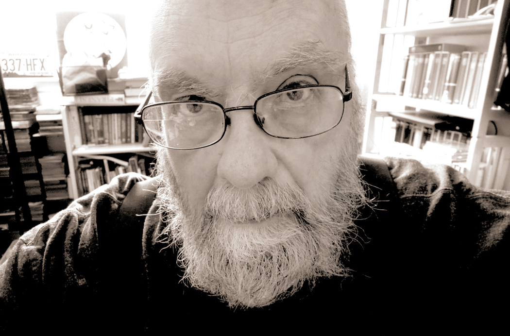
I’m now 78 and I’ve done a few things in my life. Probably most people have. Things they can list that few others have managed. Places visited; people who have impacted their lives; adventures to recount to grandchildren. 

And so I think back to recount my own experiences, those particular to my own past. Maybe others have similar lists. This is mine. 

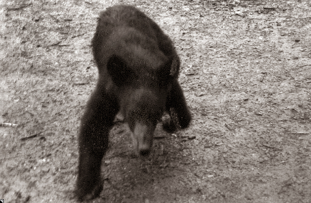
I’ve been charged by a bear, for instance. How many people can say that? I was hiking the Appalachian Trail in Smoky Mountain National Park with a few friends. By late afternoon, we reached a lean-to shelter and I walked out onto the path with my camera, when a black bear — maybe two or three years old — crossed the trail about 30 feet from me, spotted me, didn’t like what he saw and turned and charged at me. He was no more than five feet away when he veered off to my right and chugged off into the woods. I was stupid enough that while he came at me, instead of running back to the shelter, I took photos, so at least now, I have the evidence. If it’s a tad fuzzy, I’m sure you can understand. 
Certainly the bear makes my list. But I tried remembering other things that would make the list of things peculiar to my life, that few people are unlikely to have shared.

Almost no one now crosses the Atlantic on an ocean liner. I did, in 1966 aboard the MS Oslofjord from New York to Norway, when I accompanied my grandmother to the Old Country where she was born. I was a high-school student at the time, and I remember standing on the ship’s deck watching the Orkney Island lights at midnight, bright points on the black horizon as we sailed past. 

There’s a lot of travel in my past. I’ve crossed the U.S. twice by train. Once when I moved from North Carolina to Seattle, taking the Southern Crescent from Greensboro to New York, the Twentieth Century Limited from NY to Chicago and the Empire Builder from Chicago to Seattle. 
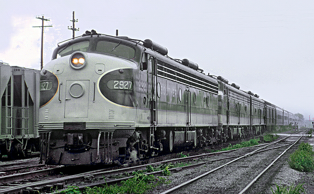
The Southern Crescent

I recall the dreamlike lights of Toledo factories as we passed after midnight; the 10-below zero air when I stretched my legs at the station in Minneapolis; the vast empty spaces between farmhouses in South Dakota; and the track-side elk watching the train pass by near Yakima, Wash. 

The second time was more luxurious: Working for the Phoenix newspaper, I was assigned to write a story about the then newly-launched Sunset Limited route from LA to Miami that passed through Phoenix, bringing the first rail service to the city in decades. 

The paper flew me to Los Angeles where I boarded, and flew me back from Miami when finished. In between, I had a sleeper compartment and ate my meals in the dining car, which Amtrak had fitted out initially with a first-class galley and real chefs. That didn’t last long after my trip, before cost-cutting turned steak into saran-wrapped bologna sandwiches. 
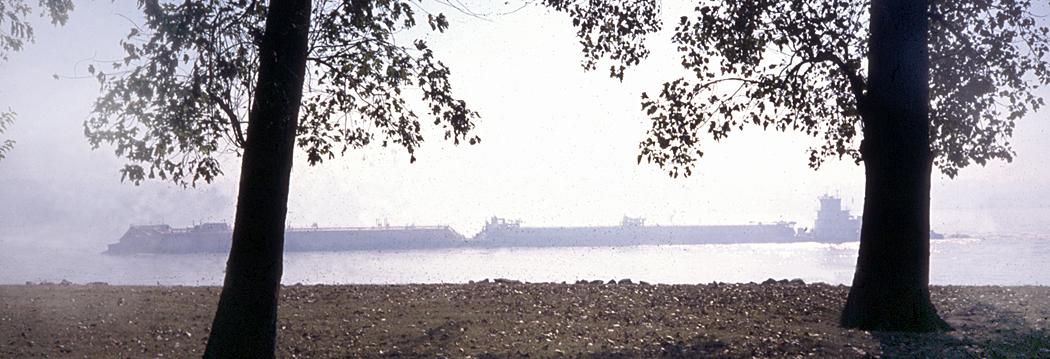
Mississippi at Cairo, Ill. 

One of my beats at the newspaper was as a travel writer and I got to choose many of my subjects. I have driven the length of the Mississippi River from its source at Lake Itasca in Minnesota to its end in the Gulf of Mexico. So, I’m one of the few people who have ever visited Cairo, Ill., which is a largely deserted town, at the tip of the state where the Ohio River pairs with the grandfather of all American waters. 
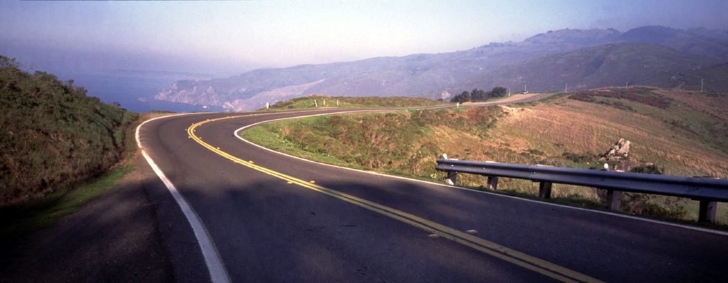
I have also driven the Pacific Coast Highway from Tijuana, Mexico to Vancouver, British Columbia. And as part of that trip, I got to stop off at Point Roberts, that tiny exclave of the U.S. that can only be reached overland by driving through parts of Canada. Virtually nobody visits there, because there is nothing to be seen or done, and the only reason to go there is to be able to say you had done so. 

Back before the wilder parts of the road were closed to traffic, I drove the length of Mulholland Drive and Highway, across the crest of the Santa Monica Mountains, from its beginning at the Hollywood Freeway over Cahuenga Pass, past all the film stars’ extravagant homes into the brushland wilderness, with its dirt roads, and finally down to the Pacific Coast Highway at Leo Carillo State Beach, some 55 miles later. 

I pitched a story to my editor about the Hundredth Meridian that traditionally divided the East of the country from the West — the line that separated the land that got more than 20 inches of rain per year, from that which got under that amount. I drove from Laredo, Texas to the Canadian border, writing stories the whole way. And when I got back, I conspired with a page designer to take over an entire Sunday travel section with my pieces — all without telling my editor. “If you had told me, I would never have permitted it,” she said. “But I’m glad you did it. I looks great.” Easier to ask forgiveness than permission.
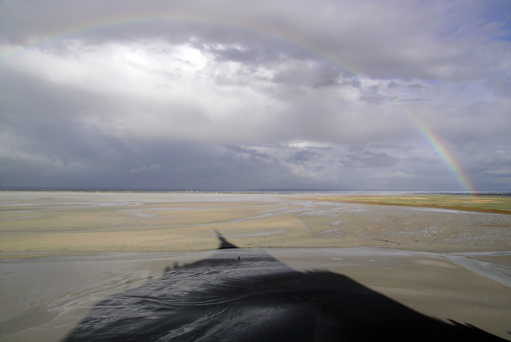
Clearing storm, Mont St. Michel

I have been many places in my life. I’ve been to Mont Saint-Michel in France, that island abbey on the coast of Normandy, where the tides come in at such a speed that anyone walking on the mud flats at low tide is in danger of drowning. I’ve been to see the Bayeux Tapestry in its current home. I’ve listened to the organist at Notre Dame de Paris play a recital of Messiaen. 
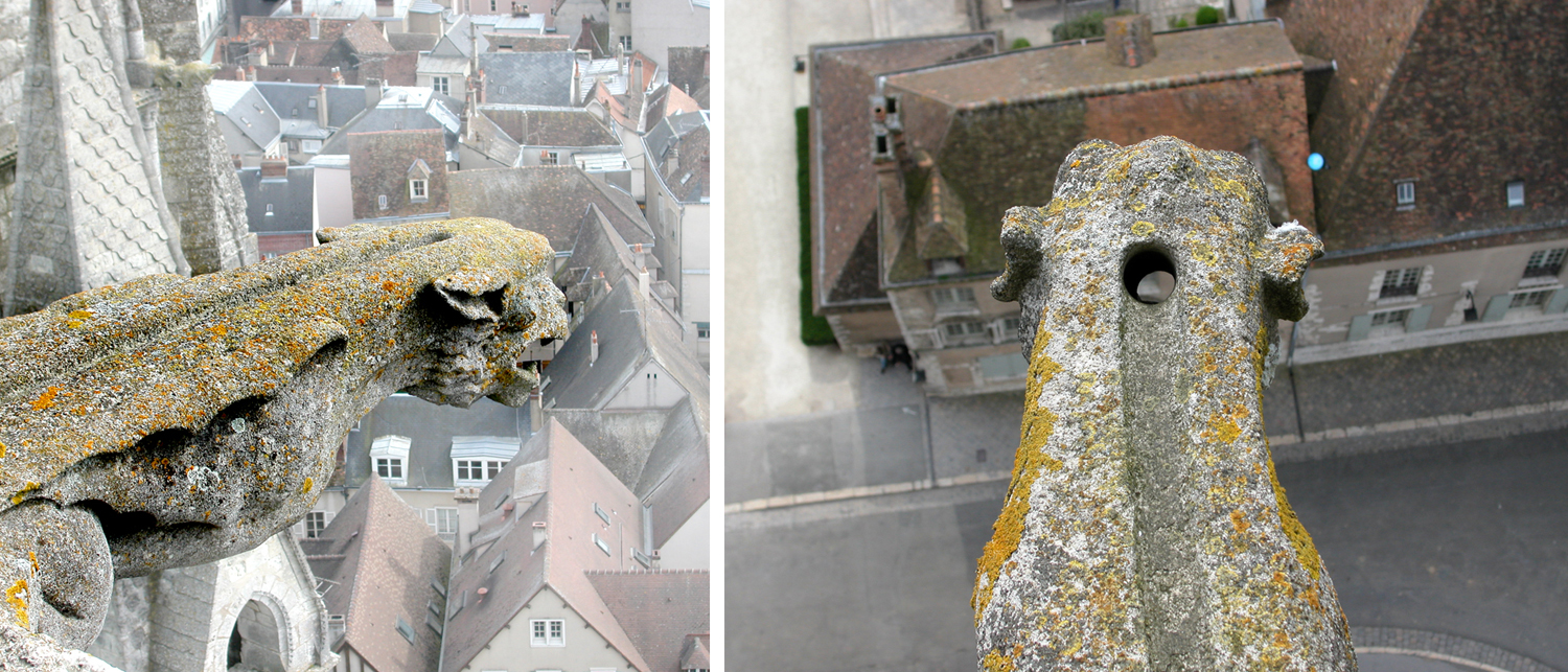
Two views of gargoyle rainspout at Chartres Cathedral

I’ve climbed to the top of Chartres Cathedral, where I could look down at the gargoyle rainwater drains and see their channels and spouts. For that matter, I’ve visited most of the major gothic churches of northern France. 

I stood at night on the banks of the Rhine River in Dusseldorf, German, where the composer Robert Schumann had lived and written his deeply romantic Rhenish Symphony. The rushing current of the mile-wide river, catching moonlight in its waves, seemed the essence and power of  nature. 
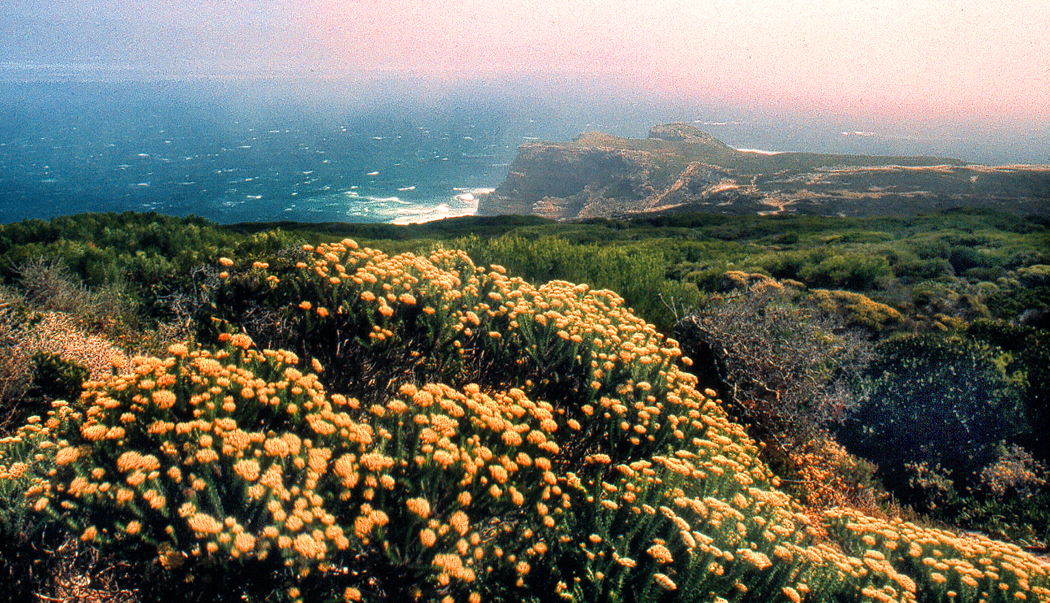
Cape of Good Hope, South Africa

I had always had an interest in the remote and isolated places in the world, and I got to visit the Cape of Good Hope in South Africa, which is as remote and isolated as you can pretty much get. While in that country, I also got to taste grilled mopane worms. Few Americans have managed that, or would care to. 

I’ve been to Hudson Bay in Canada, to Percé Rock on the Gaspe Peninsula, to Glacier Bay in Alaska, to the Yukon, and to the Cape Verde Islands (although that one hardly counts, since it was a layover on the flight to Africa; I didn’t get to see much; bragging rights only). 

I have been to all 48 contiguous states many times. I used to say “I’ve been everywhere, man, I’ve been everywhere.” And indeed, I can bore my wife when watching some film on TV and I recognize locations I’ve been. “I’ve been there,” I say. She gives me the side-eye. 

I’ve canoed with alligators in the Okefenokee Swamp. Driven through Death Valley in July in a car with no air-conditioning — nearly collapsed from dehydration and had to drink a full gallon of water to revive.  
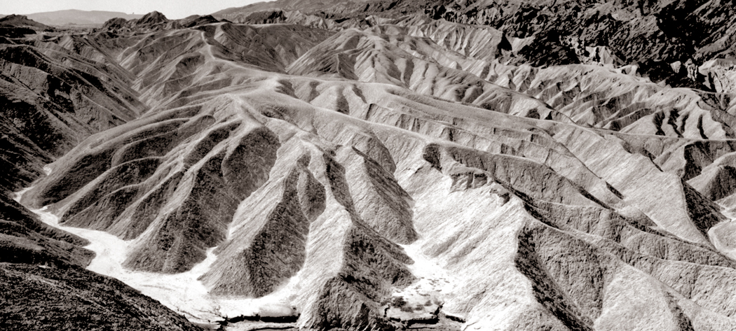
Zabriskie Point, Death Valley, Calif. 

I have driven the length of the Blue Ridge Parkway I don’t know how many times, and the continuing Skyline Drive, also. There are notable roads, often over mountain peaks, such as the Going-to-the-Sun Road in Montana’s Glacier National Park, the Beartooth Highway from Montana into Wyoming (we drove in the summer, but it still snowed in flurries), the Tioga Road over the Sierra Nevada. Or the roads in the East like the Kancamagus Highway in New Hampshire, the Natchez Trace from Mississippi to Tennessee, and the Colonial Parkway that runs from Jamestown to Yorktown in Virginia. Many more with no special names.
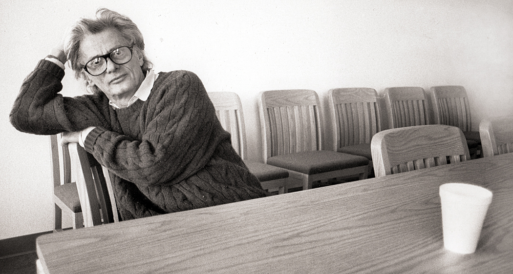
Richard Avedon

I took photographer Richard Avedon out to lunch at my favorite  Salvadoran restaurant in Phoenix. I interviewed Duke Ellington’s son, Mercer, when he brought the band to play in Phoenix. I talked to him only about his own music (sure that he was tired of repeating all the chestnuts about his old man), and at the concert, he dedicated a performance of his  Blue Serge to me, saying the band hadn’t played it in 20 years, but they brought it out and spiffied it up just for me. I knew Frederick Sommer, the reclusive Surrealist photographer who lived in Prescott, Ariz., and visited his home several times, where we talked about things that would have made no sense to anyone listening in. 

I’ve fired guns a few times over the years, once when I was training to be a security guard (a low point in my career), and several times at black-powder gatherings. My wife had a flintlock carbine that I had the pleasure of firing. A lot of smoke and a loud, brusque “whoosh” rather than a cracking “bang,” and a .50 caliber ball blew out the barrel at the target. 
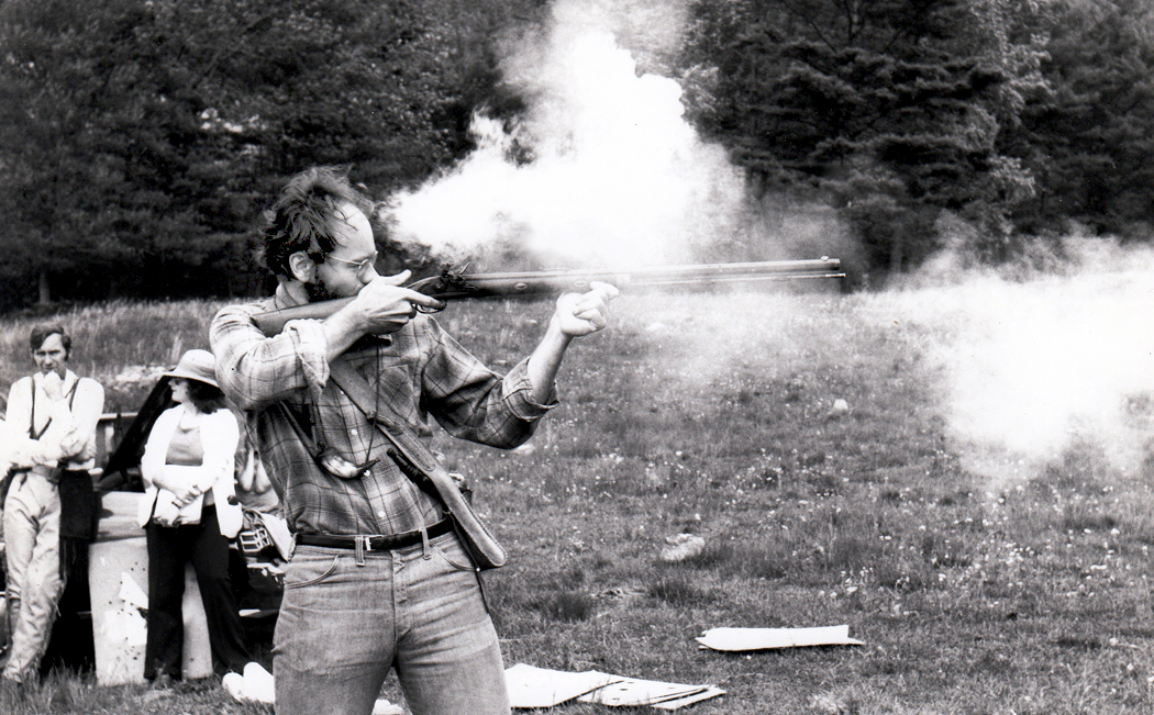
Yes, that’s me, ca. 1981

I worked at the zoo in Seattle, and most days, when the place closed for the public, I would accompany the bear keeper to the back alleys behind the exhibits and feed leftover food-stand hot dogs to the grizzly bears. We were behind the enclosure, about 20 feet above the bears. They would stand up, open their maws and we would toss the franks down their gullets. No swallowing, just straight down the chute to the stomach. 

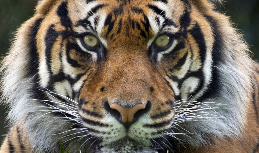
Behind them was the back entrance to the tiger cage, with a small barred door to get in when the keeper needed to clean up. When a tiger came to the door, I saw what felt like the most enormous thing I had ever seen, its giant head, bigger than my imagination could hold, and when he “purred” the ground shook. I would rank that the single most impressive thing I’ve ever encountered. 
That zookeeper was my friend, and he once commented to me about the crowds, “You see all those kids, don’tcha just want to run them all over?” 

There were many more zoo stories, but most are not suitable for family reading. But more animals: I once had a six-foot boa constrictor wrapped around my neck. I visited the grave of Hopalong Cassidy’s horse, Topper, at the Los Angeles Pet Memorial Park in Calabasas, where you can also find Rudolph Valentino’s dog, Kaber, Petey, the ring-eyed dog from the “Our Gang” comedies, and Tarzan’s chimp Cheetah (real name Jiggs). 
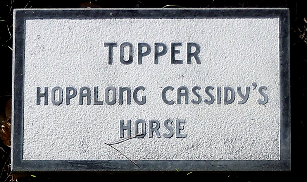
I might also mention driving to Maine in 1963 to see the total eclipse of the sun, or having crossed the equator twice, and in Africa, seeing the Southern Cross and the constellation Orion in the night sky standing on his head, with his sword pointing straight up. 

Which reminds me of the night camping in the Outer Banks of North Carolina with my friend Sandro, and discovering that someone had forgotten to close and lock the door to the Hatteras lighthouse, and so we snuck in, climbed to the top, heard the roar, and watched the black surf below us catch the light. 
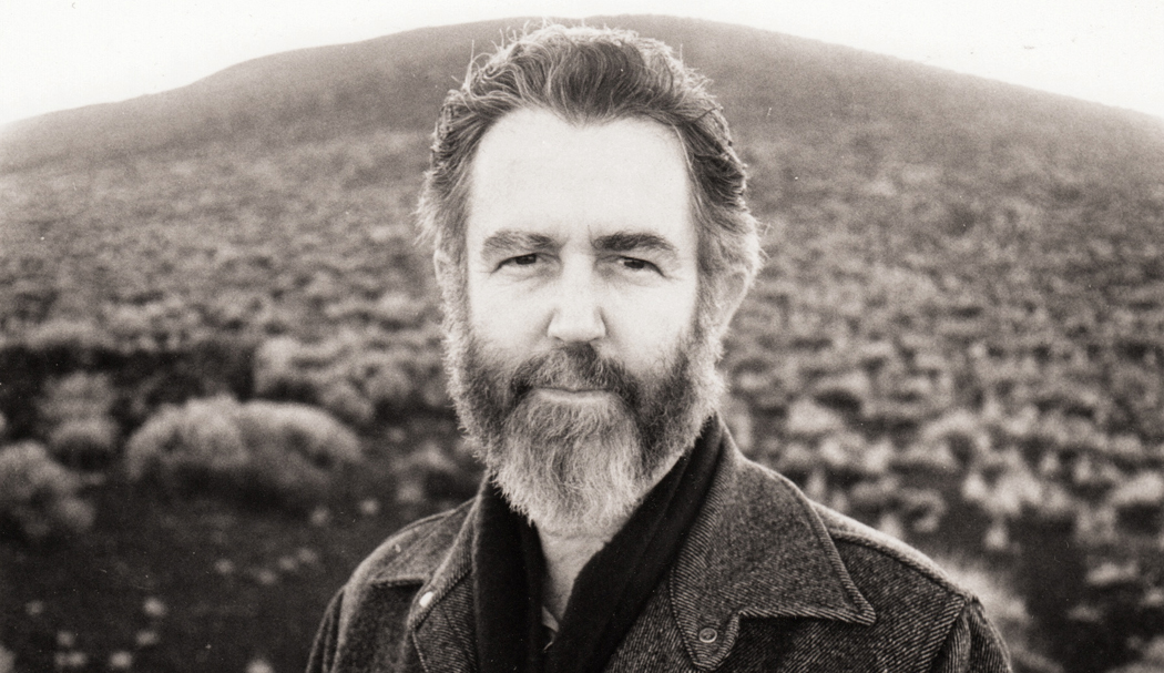
Or the time I climbed Roden Crater in Arizona with artist James Turrell, who was reshaping the extinct volcano to make an earthwork piece of art from the mountain. We were standing at the top as the sun set. “People talk of nightfall,” he said to me. “But they should call it nightrise, like sunrise.” Because, he pointed out, the night doesn’t descend, but rises, as a mass of dark sky climbs from the horizon in the east up into the sky, eating away the dusk. You can actually see the borderline as it rises, until all is dissolved in the general night. It is a startling effect that we don’t notice, because our horizons are generally blocked by trees or buildings. The phenomenon is a stunning revelation. I have looked for it — and seen it — many times since then. We walked down the mountain in the gathering dark. 
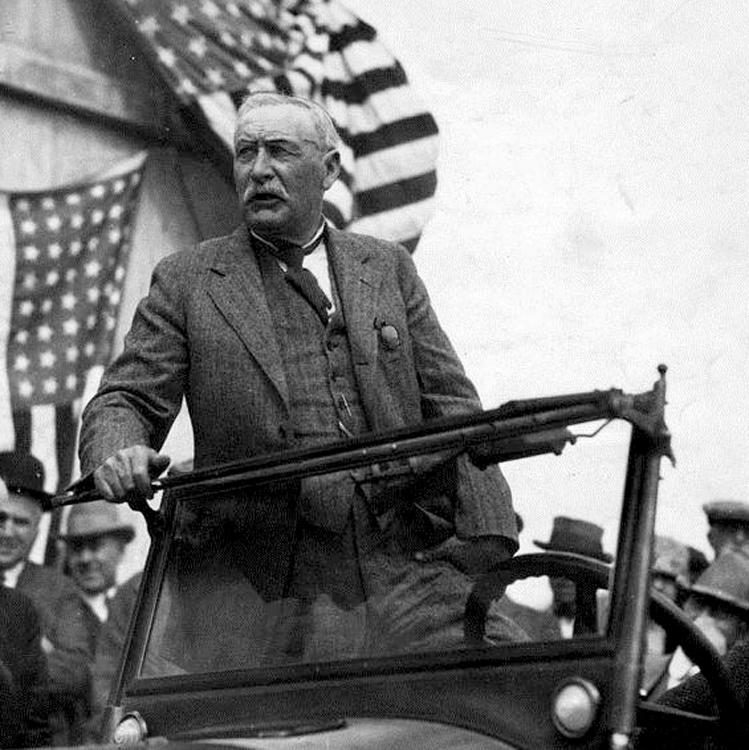
wm mulholland opening day

”There it is – take it.”

At the time, before talkies made Hollywood America’s Bartlett, those were the most famous words ever spoken in Los Angeles.

The city’s chief engineer, William Mulholland, addressed a full one-fifth of the city’s population at the lavish opening ceremony for the aqueduct he built. It was 1913, Los Angeles was a small, drought-plagued city. The sluice gate opened, the water rushed into the canal. LA aqueduct opening day

”There it is — take it!” he said to the assembled 40,000 Angelenos.

And as I was driving down Cahuenga Boulevard, I saw the sign for the road that is the city’s only remaining prominent memorial to Big Bill Mulholland, the man who made Los Angeles possible.

In another of his grand projects for the city, he built a road along the ridge of the Santa Monica Mountains from Hollywood to the ocean, a kind of scenic drive for picnickers and tourists. I saw the off ramp: ”There it is — take it,” I thought.

INTO THE HILLS

Mulholland Drive Scenic Highway runs 55 miles, on and off, east and west, through several diverse visions of Los Angeles, from the ritziest of exclusive neighborhoods to the most desolate wilderness. It begins in the hills above the Hollywood Bowl and ends at the Pacific Ocean just short of the Ventura County line. mulholland house

Once, the road was nicknamed “Bad Boy Drive” because it was home to such actors as Jack Nicholson, Warren Beatty and the late Marlon Brando. There are still celebrities who live along Mulholland, but now, you are more likely to find the grandiose homes of producers and agents.

Among those who live, or have lived on this famous windy road are Madonna, Arsenio Hall, Molly Ringwald, John Lennon, Roman Polanski, Ida Lupino, Joan Fontaine, Mary Tyler Moore, Faye Dunaway, and Bruce Willis and Demi Moore (remember when they were the hot couple?) And, of course, Vanna White. But you shouldn’t expect to find their names on their mailboxes by the road. The only names you will see prominently mentioned on signs belong either to real-estate firms or home-security agencies.

Every fifth car you pass seems to belong to a private security agency. They patrol the neighborhoods just like city cops.

Although to call this a neighborhood, is like calling Aztec gold ”a chunk of dirt.”

NOW THAT’S REAL ESTATE

The homes are huge: One mansion-size house just being built turns out to be only the top level of a two-level complex. You can see the second level down the side of a canyon that becomes visible only after you turn a corner. There must be 40 rooms to each section. A six-court tennis compound is built on a platform that juts out over the declivity below. Like much in the first 10 miles of Mulholland Drive, it is a monument to human excess. house on mulholland

It probably will be bought by a Hollywood producer.

As for turns, the road has a million of ’em. It twists and winds its tire-squeaking way along the narrow ridge crest, with views of Hollywood on one side and the San Fernando Valley on the other.

On a clear day — admittedly a rare occurrence — you can see all the way to the Santa Susanna and San Gabriel Mountains to the north, through which Mulholland dug his epic ditch.

Standing on one of the neatly manicured scenic overlooks, you can spot the distant reservoirs that marked the terminus of the 233-mile Los Angeles Aqueduct.

It is an impressive view of an impressive project.

BIG BILL

But then Mulholland was an impressive man. At 6 feet tall, with his walrus mustache and hale physique, he was the perfect model of the American self-made man. Wm Mulholland in folder

He was born in Belfast, Ireland, in 1855 and worked as a day laborer and sailor before settling in California at the age of 22. His native energy and drive elevated him from a zanjero, or ditch digger, to the head of the city water department, where he became chief engineer. LA aqueduct inverted siphon

In the early years of this century, he conceived a plan with former Los Angeles Mayor Fred Eaton to bring water to the parched land by diverting the Owens River through a 233-mile canal — including 53 miles of tunnel and 12 miles of siphon pipes — to Los Angeles.

The project took 10 years to finish and claimed five lives, but it brought the single commodity the city most needed — water.

The story of the corruption and greed that attended the canal is told in fictional form in Roman Polanski’s classic film, Chinatown. It has the decade wrong and the personality of Mulholland wrong, but it has the greed and corruption right.

But although everyone around Mulholland seems to have cashed in on the land boom, from Eaton to newspaper publisher Harrison Gray Otis, Mulholland never showed any interest in money or politics. When at the height of his popularity he was touted as a possible mayoral candidate, he replied, ”I’d sooner give birth to a porcupine backwards.”

VALLEY VIEWS

The scenic overlooks are a little different from those along other scenic highways in America. Their names give them away, for one thing. mulholland view hollywood bowl

The first is the Hollywood Bowl Overlook. There are familiar put-a-quarter-in binoculars on pedestals along its edge, but the sights are pure L.A. Point 21 on the compass is the castle that used to be Madonna’s house, and as so many, now owned by a Hollywood suit.

The next pullout is the Universal City Overlook.

The road twists its way as you head west, from the luxury homes to those that are merely outrageously expensive. Outside each house are multiple trash bins for various recyclings. There are also several parks in the canyons lined with brittle yellow shale and Russian thistle.

At Laurel Canyon Park, everyone using it seems to have a dog on a leash. Maybe that is to protect them: A sign on the chain-link fence reads, ”Warning: Mountain Lions.”

Also on the fence is a bulletin board filled with homemade lost-dog notices. LA from mulholland

Twelve miles from the beginning of Mulholland Drive, you cross the San Diego Freeway (Interstate 405). Two miles later, and the ride begins to get rough.

At Encino Hills Road, the pavement gives out. Cars no longer can ride the gravel road: It’s a hiking path now. It’s a tricky turn because there are no clear road signs telling you which way to go, but Mulholland is the cow path to the left with the deep gullies in it.

For the next eight miles, Mulholland Drive is a primitive dirt road, through the heart of what might be called the Santa Monica Mountains wilderness, if only it weren’t for the litter alongside the road and the high-tension lines that cut across the spine of the mountain chain.

Mulholland, himself, hit some rough road. At the height of his success, having built the canal and a dozen dams and reservoirs that allowed Los Angeles to grow from a sleepy little town to one of America’s major cities, his bubble burst.

Or rather, his dam burst.

 CAREER ENDING DISASTER

A few minutes before midnight on March 12, 1928, the St. Francis Dam gave way, pouring 12 billion gallons of water down the narrow San Francisquito Canyon and killing 500 people. st francis dam day after

A wall of water up to 100 feet high tore through the valley and obliterated all signs of human habitation. It left parts of Ventura County under a 70-foot-thick blanket of slimy debris. Fifty years later, bodies still were being dug up.

Mulholland views disaster site

Mulholland views disaster site

Mulholland was ultimately held responsible for building the dam on a site that was geologically unsound. He always believed the dam was the victim of sabotage by farmers from Owens Valley, whose water he had taken to satisfy Los Angeles. There had been many bombings on the aqueduct. This was merely the worst, he believed.

All evidence was destroyed by the torrent of water, so to this day, there is no certain answer for what caused the dam to break, but Mulholland was the man in charge and he suffered the consequences. Public opinion turned. Mulholland Dam and Reservoir was renamed the Hollywood Reservoir.

The dam had broken, and so had Mulholland’s spirit.


GRIT AND BUMP

Before that section of the road was closed to automobile traffic, I had the chance to drive the entire route. On the part now closed, all dirt and gravel, the car bounced mercilessly over the ruts, past San Vicente Mountain and a city park that now is boarded up. It was too remote to patrol, and vandalism and graffiti disfigure even the fence around the former parking area.

Through most of the unpaved section of Mulholland, I could not drive faster than 10 mph, but the views were stunning.

You could also spot a car here or there parked, with a man scanning the brushy hills with binoculars. They were part of L.A. County’s volunteer Arson Patrol, keeping a lookout for miscreants vile enough to set fires in the city’s vulnerable wilderness.

At Topanga Canyon Road, the pavement picks up again, and the character of the road changes once more. mulholland highway vista

For the next 30 miles, the road — now called Mulholland Highway — is a comfortable rural byway through tiny communities, such as Calabasas, alternating with the Santa Monica Mountains National Recreation Area.

There are camping, hiking and horseback riding to be had at such National Recreation Area sites as Rocky Oaks.

At the turn of the century, Rocky Oaks was a farm. It was hit by the usual California catastrophes of fire and flood. The Agoura Fire in 1978 destroyed all buildings, and the land was finally bought by the National Park Service in 1980. Its hiking and bridal paths take you through riparian forests to brushy mountain peaks.

At Saddle Rock, Mulholland Highway turns toward the ocean.

TARNISHED LEGACY

Nine months after the collapse of the St. Francis Dam, William Mulholland retired. He was 73 years old and had worked for the Los Angeles Department of Water and Power for 51 years.

He lived out the rest of his life in bouts of depression and increasing Parkinson’s disease. He died in 1935 at 79. He was not forgotten, but the luster of his years of civic service had been tarnished.

But that slowly changed, and by 1992, after 20 years of citizen effort, the Los Angeles City Council adopted the Mulholland Scenic Parkway Specific Plan. It established the parkway as a memorial to the ”chief engineer” and a review board to shape the environment of the parkway’s unique features and resources. mulholland vista with ocean

The Santa Monica Mountains Conservancy, along with the Los Angeles Mountains Recreation and Conservation Authority and the California Resources Agency, maintains the overlooks and informative plaques that tell the story of Mulholland and the natural features of Los Angeles, the Santa Monica Mountains and the San Fernando Valley to the north.

And if Mulholland’s end wasn’t the crowning glory that his regal life deserved, the end of Mulholland Highway is.

As it dumps out onto the Pacific Coast Highway two miles from the Ventura County line, it meets the Pacific Ocean at Leo Carillo State Beach, one of the most beautiful beaches in a string of state beaches along the Pacific Coast Highway. leo carillo state beach

I parked the car and walked to the shoreline, passing a brown thrasher nesting in the dune shrubs. I held still as she flicked her tail up and disappeared into the twiggery.

Along the surf, I watched pelicans, dowitchers, sanderlings, gulls and terns.

Out in the water, wrapping themselves with kelp were a pair of otters. A pair of fishermen stood on the rocks above the water, their long poles out over the foam, and the redwings chirped their ”ooklaroo” behind me as the sun set over the horizon.

It is 55 miles back to the buzz of the city from this spot. It might as well be 55 centuries.